Paddling in Cape Hatteras National Seashore
- National Seashore
- Open 24 hours
- Lakes
- 0
- Rivers
- 6
- Access
- 0
- Boat Ramps
- 2
- Shops
- 0
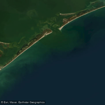
Cape Hatteras National Seashore stretches roughly 67 miles along North Carolina's Outer Banks, taking in the barrier islands of Bodie, Hatteras, and Ocracoke.
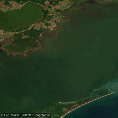
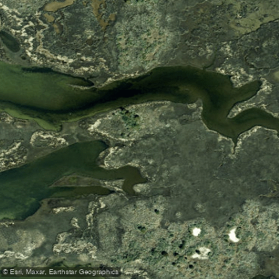
The water here is almost entirely soundside — the broad, shallow reach of Pamlico Sound lying between the islands and the mainland. That's where the paddling lives. Pamlico Sound is the defining water.
It's calm enough on settled days to reward a slow crossing or a long meander through salt marsh, but it earns respect: strong currents, building wind chop, and heavy boat traffic from fishing vessels can change the character of a paddle quickly.
Tides shift conditions, and wakes from larger boats demand constant attention. Plan around the weather and the tides, not just the put-in. The park maintains several sound-access launch points spread across the islands.
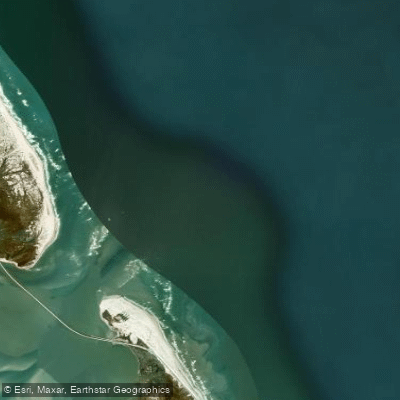
On Bodie Island, the Oregon Inlet Kayak Launch at the Oregon Inlet Fishing Center puts you directly onto Pamlico Sound and Oregon Inlet, with parking and a maintained path to the water.
Moving south on Hatteras Island, the Pea Island Launch sits a few miles south of the Pea Island National Wildlife Refuge Visitor Center at the New Inlet parking area.
Salvo Sound Access is just south of the village of Salvo; Haulover Sound Access falls roughly halfway between Avon and Buxton.
On Ocracoke, Devil Shoals Road and the far end of Highway 12 in Ocracoke village — where a parking lot and boat launch sit across from the NPS visitor center — round out the access points the park maintains.
Summer brings ranger-led kayak tours on Hatteras Island; check the park's event calendar for current scheduling.
Commercial rentals are available locally, and local outfitters can point you toward less-trafficked launch sites if the main access points are busy. The seashore's protected status shapes the experience in ways that go beyond the water itself.
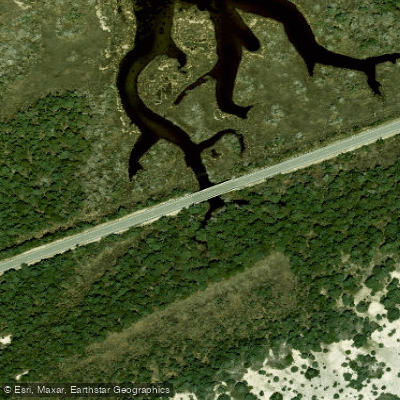
The same rules that limit development along the shore keep the soundside marshes intact — the kind of edge habitat where ospreys, pelicans, herons, and skates move through without much interruption. Paddling here is quieter for it.
The park doesn't require a separate paddling permit, but check with the NPS directly for any current closures or seasonal restrictions before you launch.
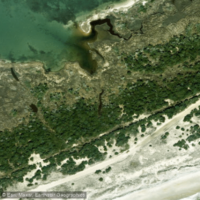
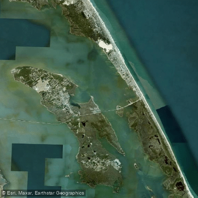
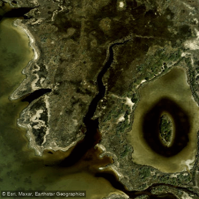
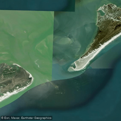
Top waters to paddle near Cape Hatteras National Seashore
Water and weather conditions (10 day forecast)
See the best times to paddle Cape Hatteras National Seashore and check the forecast before you go.
No forecast data available.
Park alerts & road status
Closures and conditions Cape Hatteras National Seashore has posted, from the National Park Service.
Checking the park's alerts…
Hours & fees
When Cape Hatteras National Seashore is open and what it costs to get in, from the National Park Service.
Hours
Open 24 hoursThe grounds of Cape Hatteras National Seashore are always open for visitors, though there are resource closures that seasonally affect different parts of the beach.
Entrance fees
No entrance fee is listed for this park.
Paddle smarter with real-time insights
Whether you're en route and conditions shift or you're looking for the best spot based on current flows, we enable you to make informed decisions on the fly.







Paddling near Cape Hatteras National Seashore
Loading...
Other parks in North Carolina
Gateway towns
Where to base yourself for paddling in Cape Hatteras National Seashore.
- BuxtonNC
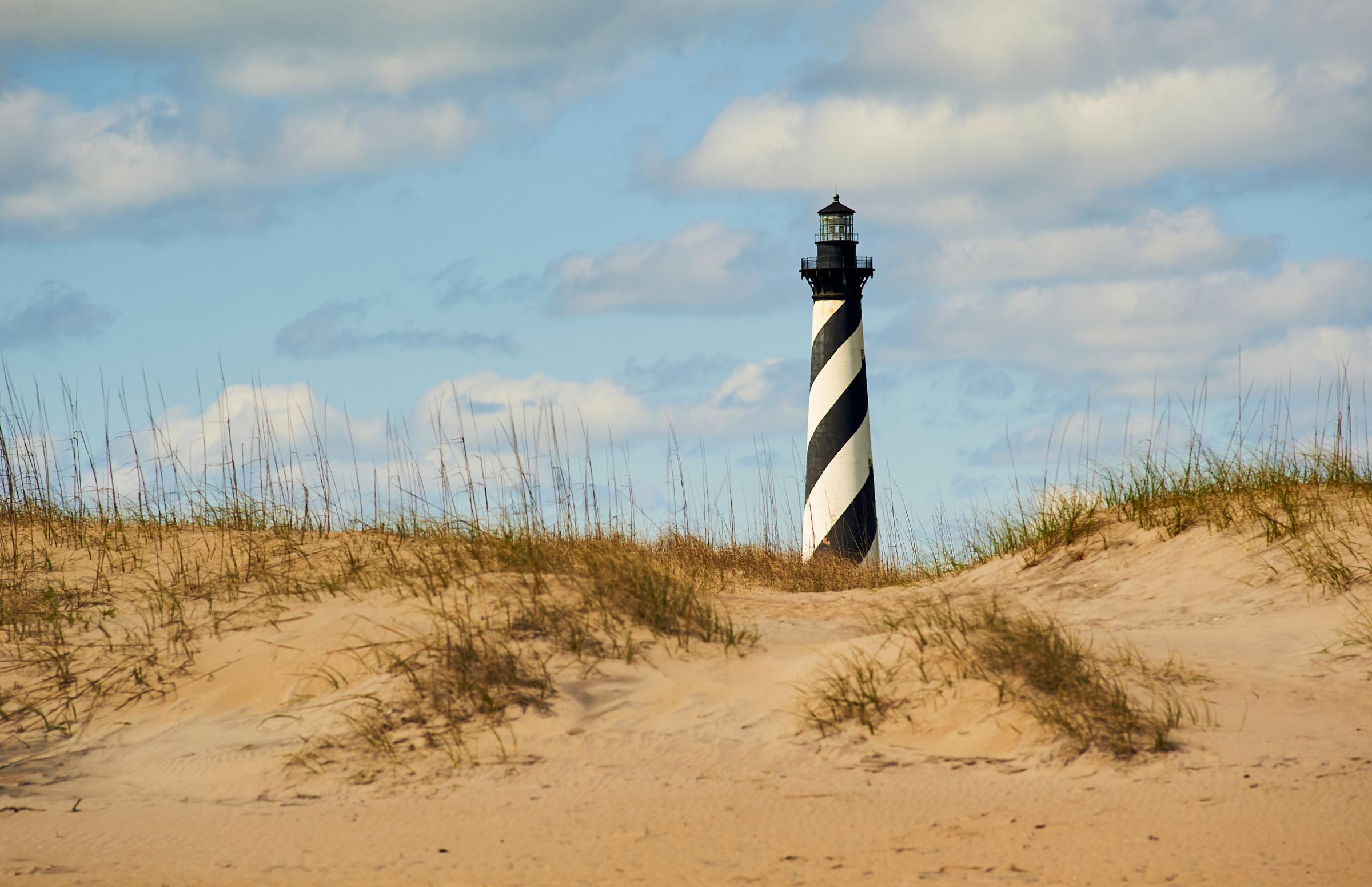
The largest community on Hatteras Island, sitting at the cape itself, with lodging, shops, and direct access to the seashore and the Cape Hatteras Lighthouse.
- AvonNC
A well-stocked village on Hatteras Island with rentals, outfitters, and easy beach access along the national seashore.
- RodantheNC
The northernmost village on Hatteras Island, serving as the entry point to the seashore from the north with camping and surf access nearby.
- HatterasNC
The southernmost village on Hatteras Island, home to the ferry to Ocracoke and outfitters for fishing and water sports within the seashore.
- OcracokeNC
The sole village on Ocracoke Island, reachable by ferry, with lodging and services for the seashore's southernmost section.
Cape Hatteras National Seashore paddling rules
The park's own rules, on top of North Carolina licenses and regulations. Limits, fees and closures change, so check the park's page before you go.

No Personal Watercraft Allowed
Personal watercraft are prohibited from launching, landing, and operating anywhere within Cape Hatteras National Seashore. This applies to all NPS-controlled land and water areas.

Know the Currents Before Launching
Pamlico Sound and Oregon Inlet have strong currents and heavy boat traffic. Monitor tides and conditions constantly, and stay alert for fishing boat wakes.

Commercial Operators Need Authorization
Any business offering guided paddling, rentals, or other commercial water activities inside the seashore must hold a valid Commercial Use Authorization from the park superintendent.
Explore Cape Hatteras National Seashore
Top paddling waters
Popular Cities
Loading popular cities...

Smarter Paddling Starts in the App.
Paddleways gives you everything you need to plan smarter, paddle better, and own every trip from first launch to takeout.