Roanoke Sound
- Saltwater
- Sound
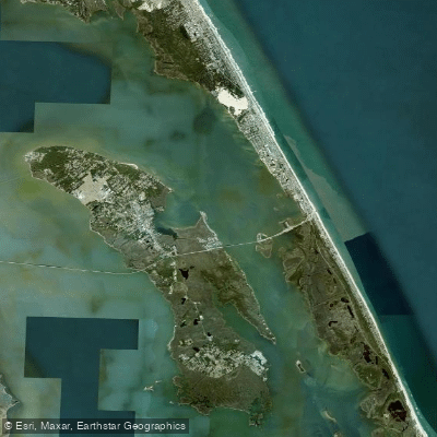
Roanoke Sound
- Saltwater
- Sound
- Sq. miles
- 26
- Boat Ramps
- 0
- Access Points
- 0
- Campsites
- 2
Roanoke Sound is a broad, shallow saltwater sound located on the Outer Banks of North Carolina, bordered by Roanoke Island to the west and the barrier islands of Bodie and Hatteras to the east. It forms part of the extensive intracoastal waterway system separating the mainland from the Atlantic coast. The sound is characterized by generally calm, shallow salt waters, with an average depth ranging from 3 to 5 feet, making it a forgiving environment for paddlers of all skill levels. The expansive, open water is interspersed with numerous marsh islands, sandy shoals, and narrow salt marsh canals, offering a mix of open-water paddling and sheltered exploration.
Primary access points for hand-paddled craft include several informal and formal launches. A key public access is at the Oregon Inlet Fishing Center on Bodie Island, where paddlers can launch directly into the sound from the south end of the inlet road to avoid the busy marina. On Roanoke Island, the historic Manteo waterfront, specifically the Kitty Hawk Kites location at 307 Queen Elizabeth Avenue, serves as a popular launch for exploring the town's canals and the adjacent sound. Jockey's Ridge State Park also offers soundside access at 330 W. Soundside Road in Nags Head. For those seeking a more natural marsh entry, a public boat ramp on Bob Perry Road in Kitty Hawk provides access to Kitty Hawk Bay, which connects to the sound.
Wind is the predominant safety consideration, as the large open fetch can quickly transform calm conditions. Winds from the south or northeast can generate significant chop and whitecaps, with reports of conditions changing rapidly from calm to three-foot waves in strong winds. Tidal currents are present and can be stronger on gusty days. Boat traffic is a factor near the Oregon Inlet marina and ferry routes, requiring vigilance. The shallow nature means paddlers can often stand up if they capsize, but it also means kayaks can get stuck on sandbars, especially during periods of strong offshore winds that push water out of the sound.
The paddling experience is typically peaceful and focused on nature and history. Paddlers glide past marsh inlets, small islands like Bell Island and Stove Island, and can explore the waterways around Roanoke Island Festival Park. Wildlife sightings are common and include great blue herons, egrets, pelicans, cormorants, turtles, and various fish. The area is historically significant as the location of the first English settlement attempts in the New World. Late afternoon paddles are popular for enjoying waterfront sunsets. No specific paddling permits are required for the sound itself, though accessing some remote launch points within Cape Hatteras National Seashore may require an Off-Road Vehicle Permit.
Water access, boat ramps & amenities
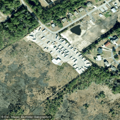
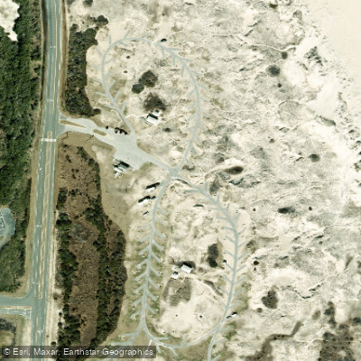
Learn how to get on Roanoke Sound. Uncover great paddling access points, boat ramps, and all the facilities you need for an unforgettable day on the water. Some locations shown may border or include private property. Always check property boundaries and applicable regulations before visiting. PaddleWays's Public & Private Land layer can help you plan your access with confidence.
Paddle smarter with real-time insights
Whether you're en route and conditions shift or you're looking for the best spot based on current flows, we enable you to make informed decisions on the fly.








Find Places to Paddle

Over 400,000 Places to Paddle
Every user gets free access to launch points, boat ramps, and public property parcels.


Tides, wind & water conditions (10 day forecast)
On open water, wind and tide matter as much as the weather. See the best times to paddle Roanoke Sound and check the marine forecast before you launch.
Loading tide predictions…
Paddling near Roanoke Sound
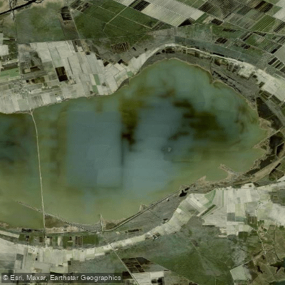
Lake Mattamuskeet
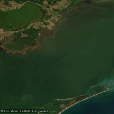
Pamlico Sound
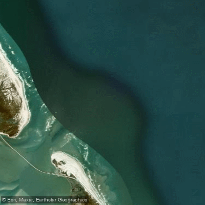
Oregon Inlet
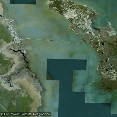
Croatan Sound
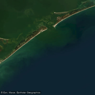
Raleigh Bay
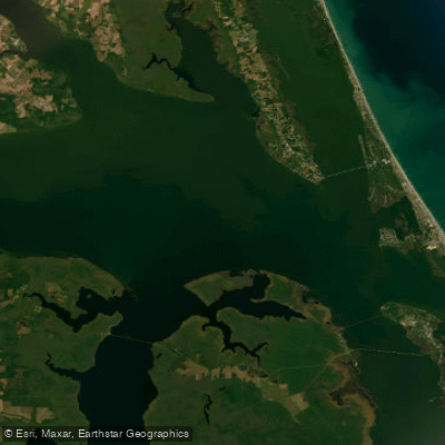
Albemarle Sound
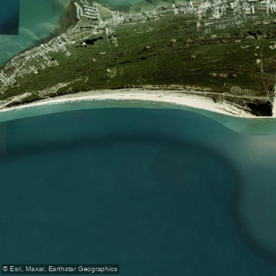
Hatteras Bight
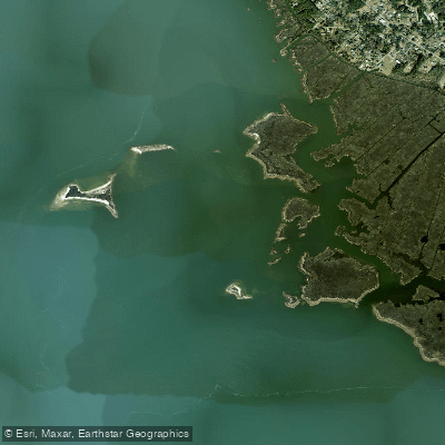
Cedar Bush Bay
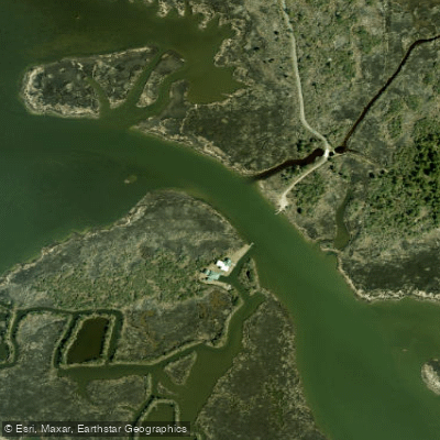
Blossie Creek
Explore North Carolina waters
Top paddling waters
Popular Cities
Loading popular cities...
Explore near Roanoke Sound

Smarter Paddling Starts in the App.
Paddleways gives you everything you need to plan smarter, paddle better, and own every trip from first launch to takeout.