Paddling in Cape Lookout National Seashore
- National Seashore
- Open 24 hours
- Lakes
- 1
- Rivers
- 2
- Access
- 0
- Boat Ramps
- 0
- Shops
- 0
Cape Lookout National Seashore is open water — barrier island coastline, tidal inlets, and broad sounds stretching 56 miles along North Carolina's Crystal Coast. There are no rivers here, no flatwater lakes tucked in the woods.
The paddling is salt water, tidal, and exposed, shaped by wind and current more than topography.
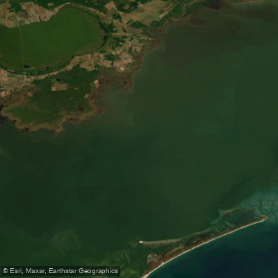
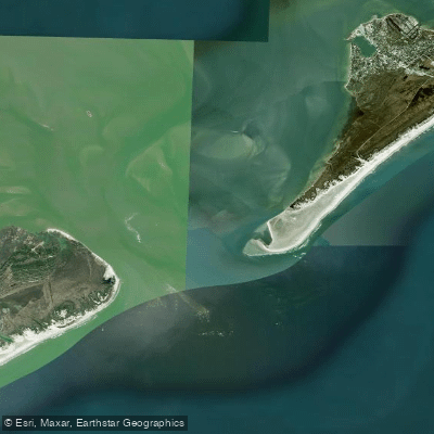
The park's three barrier island chains — North Core Banks, South Core Banks, and Shackleford Banks — sit between the Atlantic and the sounds behind them, primarily Core Sound. That sound is the main paddling corridor: wide, shallow, and deceptively demanding.
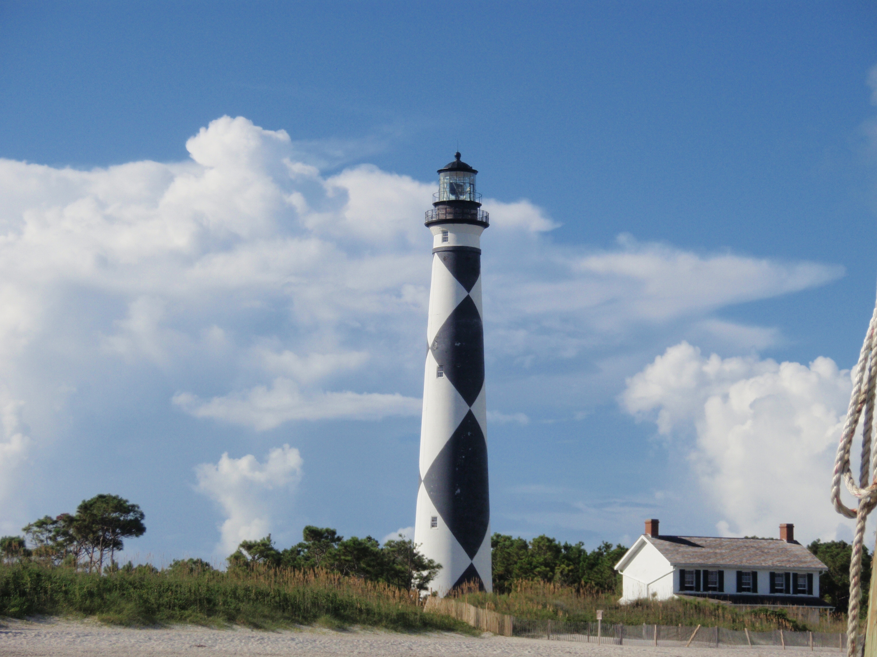
Getting to the islands at all typically means crossing open water from the mainland, and the crossing itself is part of the trip. One well-traveled route runs from the Harkers Island Visitor Center out to the Cape Lookout Lighthouse.
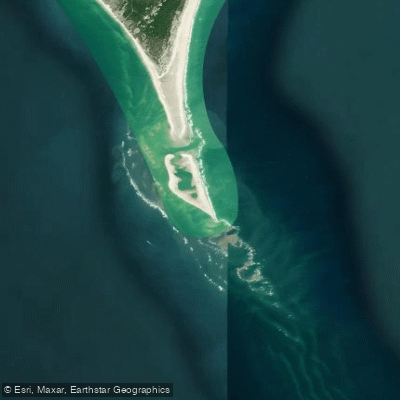
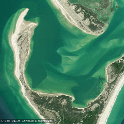
Barden Inlet and Cape Lookout Bight draw paddlers who want to work around the cape itself, with the open ocean coast as an option for those prepared for surf and swell. Tides run everything here.
The NPS is direct about it: half the total water volume in the inlets moves during the third and fourth hours of tidal flow, turning flat water into whitecaps and pushing intermediate conditions into expert territory.
The standard local approach is to leave the mainland at high tide and return as the low tide rises — paddling with the current both ways. Ignoring the tide chart isn't a beginner mistake here; it's a serious one regardless of experience level.
The park has no commercial facilities, no paved roads, and no services on the islands. Paddlers are self-sufficient from the moment they launch.
Significant boat traffic — ferries, motorized skiffs — shares the same water, especially near the inlets and the lighthouse. A float plan left with someone onshore is standard practice, not optional caution.
Beach camping is available on the islands, making multi-day paddles possible. The park issues permits for certain activities; check with the NPS directly for what applies to your trip.
What the seashore demands most is honest tide planning, respect for wind exposure, and the willingness to sit out a crossing when conditions say no.
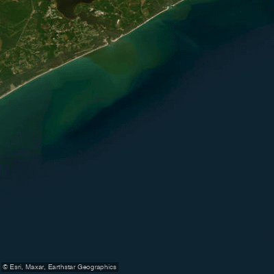
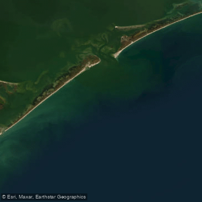
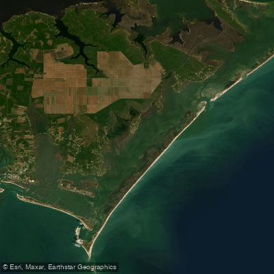
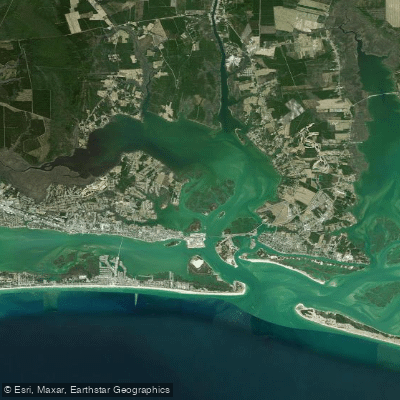
Top waters to paddle near Cape Lookout National Seashore
Water and weather conditions (10 day forecast)
See the best times to paddle Cape Lookout National Seashore and check the forecast before you go.
No forecast data available.
Park alerts & road status
Closures and conditions Cape Lookout National Seashore has posted, from the National Park Service.
Checking the park's alerts…
Hours & fees
When Cape Lookout National Seashore is open and what it costs to get in, from the National Park Service.
Hours
Open 24 hoursCape Lookout National Seashore has 3 offshore barrier islands that are open 24 hours and 365 days a year (weather permitting). Operating hours for visitor centers and other services will vary throughout the year.
Entrance fees
No entrance fee is listed for this park.
Parking & getting around
Where to leave the car in Cape Lookout National Seashore. Lots fill early on busy days, so plan where you will park before you head for the water.
Harkers Island Visitor Center
When visiting Harkers Island Visitor Center, park in the main parking lot. Visitors camping over night on the Banks can leave their cars here overnight. Camping in the parking lot is not permitted.
Getting around
Cape Lookout National Seashore can be reached without taking a ferry: the Visitor Center on Harkers Island, NC. Please note: the park mailing address does not bring you to the Harkers Island Visitor Center parking lot. If you are using a GPS device - use the parking lot coordinates (34.68494, -74.52725) or the following "address" which approximates the location of the parking lot entrance: 1800 Island Rd, Harkers Island, NC 28531
Directions on nps.govPaddle smarter with real-time insights
Whether you're en route and conditions shift or you're looking for the best spot based on current flows, we enable you to make informed decisions on the fly.







Paddling near Cape Lookout National Seashore
Loading...
Other parks in North Carolina
Gateway towns
Where to base yourself for paddling in Cape Lookout National Seashore.
The closest mainland launch point, with the main NPS visitor center and ferry access to South Core Banks and the lighthouse.
- BeaufortNC
The primary base town, offering lodging, outfitters, and ferry access to Shackleford Banks and South Core Banks.
Nearby hub with lodging, supplies, and boat launches serving the park's southern reaches.
Northern gateway with ferry access to Portsmouth Village on North Core Banks.
Cape Lookout National Seashore paddling rules
The park's own rules, on top of North Carolina licenses and regulations. Limits, fees and closures change, so check the park's page before you go.

No kayaks in Harkers Island Boat Basin
Non-motorized vessels including canoes and kayaks are prohibited in the Harkers Island Boat Basin. Launch from the sand beach behind the rock sill at the Harkers Island Picnic Area parking lot instead.

Dock mooring time limits apply
Private motorboats may moor at seashore public docks for no more than 15 minutes while actively loading and unloading. Some docks have additional closures posted on site.

Stay outside lighthouse and Shackleford buoys
Waters marked by buoy lines near the Cape Lookout Lighthouse dock and the Shackleford dock are closed to mooring and anchoring. Kayaks and canoes must beach outside the buoys.

File a float plan before paddling
Before heading out, file a float plan with the Coast Guard and share it with a friend or family member. Include your route, boat details, departure and return times, and vehicle information.
Explore Cape Lookout National Seashore
Top paddling waters
Popular Cities
Loading popular cities...

Smarter Paddling Starts in the App.
Paddleways gives you everything you need to plan smarter, paddle better, and own every trip from first launch to takeout.