Ocracoke Inlet
- Saltwater
- Inlet
Ocracoke Inlet
- Saltwater
- Inlet
- Sq. miles
- 15
- Boat Ramps
- 0
- Access Points
- 0
- Campsites
- 1
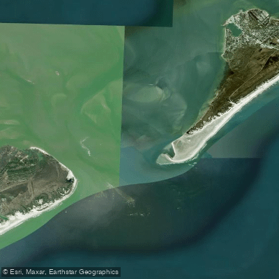
Ocracoke Inlet is a major tidal channel separating Ocracoke Island to the north from Portsmouth Island to the south, connecting the Atlantic Ocean with the vast Pamlico Sound. This is a challenging marine environment suitable only for advanced, experienced ocean kayakers with proper planning. The inlet is known for powerful, swirling tidal currents that can be impossible to paddle against; paddlers are advised to time crossings for slack tide, when there is minimal flow. Deep currents rush through the inlet up to 20 feet deep, and even on calm days the water mixture can appear deceptively quiet. Paddlers are advised to steer clear of the inlet unless specifically attempting the crossing to Portsmouth Island, which is considered an adventure. The crossing itself is approximately 4 to 5 miles from common launch points on Ocracoke. The primary launch for this endeavor is from the sound side near the south end of Ocracoke Island, with one trip report launching into Pamlico Sound to paddle three miles to the inlet mouth to catch slack tide. Landing on the Portsmouth Island side involves challenging beach landings through surf. The area is exposed to wind and weather from both the sound and the ocean, and conditions can change rapidly; planning must account for potential gale-force winds and seas. Boat traffic is a factor, including large ferries operating out of Silver Lake harbor, which paddlers must yield to. The surrounding landscape is desolate and beautiful, with long stretches of undeveloped shoreline. Wildlife sightings include dolphins. There are no facilities within the inlet itself. Primitive camping is allowed on Portsmouth Island, but there are no modern services. The inlet has historical significance as a former primary passageway for shipping and is famously associated with the pirate Blackbeard.
Water access, boat ramps & amenities
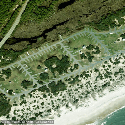
Learn how to get on Ocracoke Inlet. Uncover great paddling access points, boat ramps, and all the facilities you need for an unforgettable day on the water. Some locations shown may border or include private property. Always check property boundaries and applicable regulations before visiting. PaddleWays's Public & Private Land layer can help you plan your access with confidence.
Paddle smarter with real-time insights
Whether you're en route and conditions shift or you're looking for the best spot based on current flows, we enable you to make informed decisions on the fly.








Find Places to Paddle

Over 400,000 Places to Paddle
Every user gets free access to launch points, boat ramps, and public property parcels.


Tides, wind & water conditions (10 day forecast)
On open water, wind and tide matter as much as the weather. See the best times to paddle Ocracoke Inlet and check the marine forecast before you launch.
Loading tide predictions…
Paddling near Ocracoke Inlet

Neuse River
Lake Mattamuskeet
Pamlico Sound
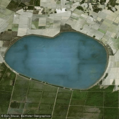
Phelps Lake
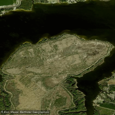
T G Slimes Pond Number One
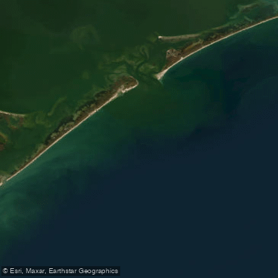
Raleigh Bay
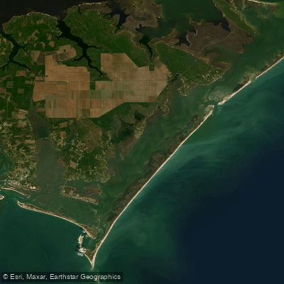
Core Sound
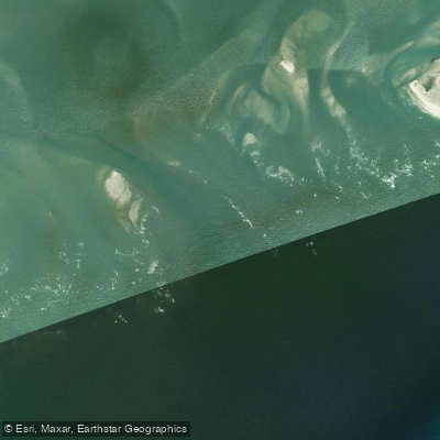
Hatteras Inlet
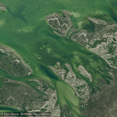
Daniel Swash
Explore North Carolina waters
Top paddling waters
Popular Cities
Loading popular cities...
Explore near Ocracoke Inlet

Smarter Paddling Starts in the App.
Paddleways gives you everything you need to plan smarter, paddle better, and own every trip from first launch to takeout.