Raleigh Bay
- Saltwater
- Bay
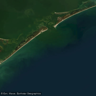
Raleigh Bay
- Saltwater
- Bay
- Sq. miles
- 488
- Boat Ramps
- 0
- Access Points
- 0
- Campsites
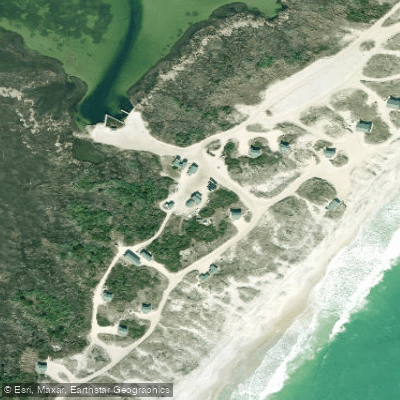
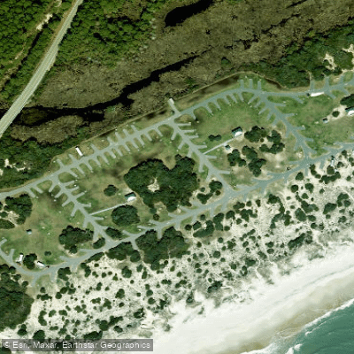
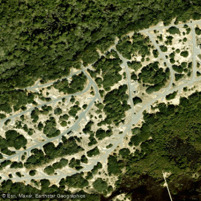
- 6
Raleigh Bay is a large, open coastal bay of the Atlantic Ocean, defined by the shoreline stretching approximately 70 miles from Cape Lookout to Cape Hatteras in North Carolina. This is a significant marine area where the tidal exchange between the Atlantic Ocean and the inland Pamlico Sound primarily occurs through major inlets like Hatteras Inlet, Ocracoke Inlet, and Drum Inlet. For paddlers, this means strong tidal currents are a dominant feature, especially in and near these inlets, and trip planning must be centered around tide tables. The bay is exposed to the open ocean, leading to consistent wave action; a typical forecast shows wave heights around 3 feet with a 6-7 second period, and winds frequently reach 15-17 mph, creating challenging conditions and significant fetch. The coastline features sandy beaches, but direct ocean access for launching is limited and would involve navigating a surf zone. A notable protected launch area is the marked channel known as "the slough" at Cape Lookout, a buoyed passage between sandy shoals that is several hundred yards wide and used by commercial fishing vessels. The water is deep close to shore, with depths reaching 100-150 feet within 15 miles of the beach, and it holds numerous artificial reefs and shipwrecks, such as the AR-220 and AR-230 sites, which are submerged structures attracting marine life. The area has historical significance as a shipwreck location. Paddling here is an advanced undertaking suitable for experienced kayakers comfortable in dynamic ocean conditions, with primary considerations being strong tidal currents, exposure to wind and waves, and potential interaction with larger boat traffic, particularly near the inlets and the Cape Lookout channel.
Water access, boat ramps & amenities
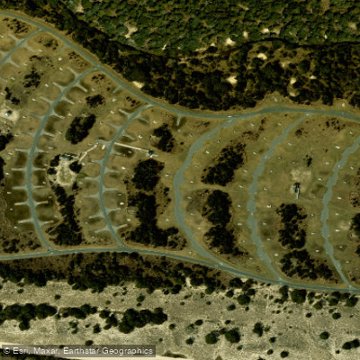
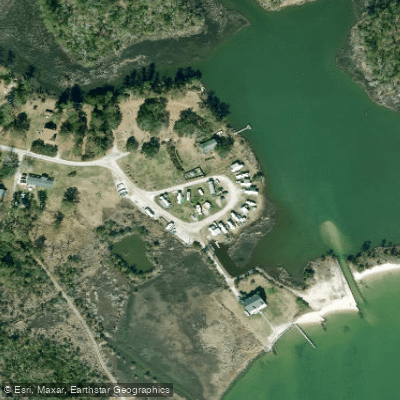
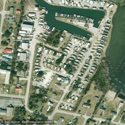
Learn how to get on Raleigh Bay. Uncover great paddling access points, boat ramps, and all the facilities you need for an unforgettable day on the water. Some locations shown may border or include private property. Always check property boundaries and applicable regulations before visiting. PaddleWays's Public & Private Land layer can help you plan your access with confidence.
Paddle smarter with real-time insights
Whether you're en route and conditions shift or you're looking for the best spot based on current flows, we enable you to make informed decisions on the fly.








Find Places to Paddle

Over 400,000 Places to Paddle
Every user gets free access to launch points, boat ramps, and public property parcels.


Tides, wind & water conditions (10 day forecast)
On open water, wind and tide matter as much as the weather. See the best times to paddle Raleigh Bay and check the marine forecast before you launch.
Loading tide predictions…
Paddling near Raleigh Bay

Neuse River
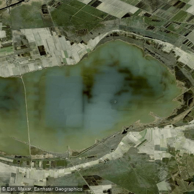
Lake Mattamuskeet
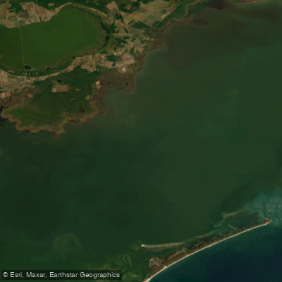
Pamlico Sound
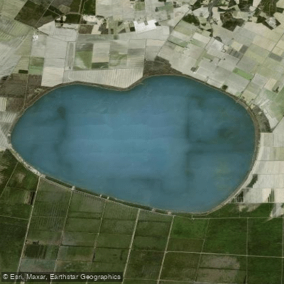
Phelps Lake
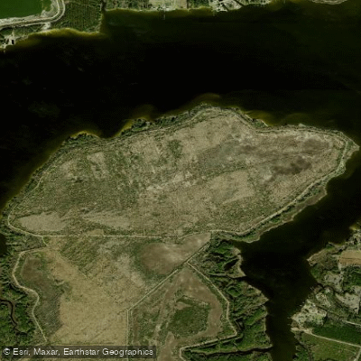
T G Slimes Pond Number One
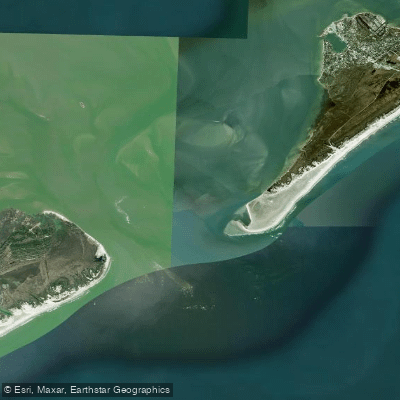
Ocracoke Inlet
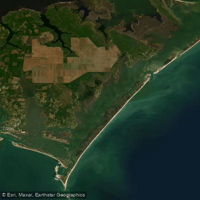
Core Sound
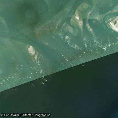
Hatteras Inlet
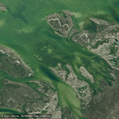
Daniel Swash
Explore North Carolina waters
Top paddling waters
Popular Cities
Loading popular cities...
Explore near Raleigh Bay
Access points
Nearby waters
More in North Carolina

Smarter Paddling Starts in the App.
Paddleways gives you everything you need to plan smarter, paddle better, and own every trip from first launch to takeout.