Drakes Estero
- Saltwater
- Sea area
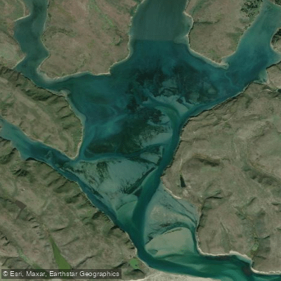
Drakes Estero
- Saltwater
- Sea area
- Sq. miles
- 1.7
- Boat Ramps
- 0
- Access Points
- 0
- Campsites
- 1
Drakes Estero is a large, complex estuary within Point Reyes National Seashore, designated as the only marine wilderness on the west coast of the continental United States. It comprises five conjoining bays covering approximately 2,500 acres. The single, official launch site for paddlers is at the south end of the Drakes Estero Access Road, just before the bridge over Schooner Creek off Sir Francis Drake Boulevard. This site has a vault toilet and parking. Paddling here is exceptionally tide-dependent. The estuary features extensive mudflats and sandbars that can strand kayakers at low tide; a minimum tide of three feet is strongly recommended for passage. The tidal range can exceed five feet, and currents become significant, especially where the estuary meets the open ocean at Drakes Bay. Paddling against an opposing wind and current, particularly a flooding tide with an onshore wind, can create choppy, challenging conditions. At the mouth near Drakes Head, ocean swell can enter, creating unpredictable breaking waves. The area is fully exposed to Pacific winds, which typically increase in the afternoon, making early morning starts advisable for calmer conditions. Motorized vessels are prohibited, ensuring a quiet experience. The estuary is closed to all boating from March 1 through June 30 annually to protect harbor seals during their pupping season. This closure is strictly enforced. Outside of that period, paddlers must maintain a distance of at least 300 feet from harbor seals, which are present in one of the largest concentrations on the West Coast. Other wildlife commonly seen includes leopard sharks, bat rays, river otters, and abundant birdlife such as pelicans, cormorants, herons, and egrets. The scenery includes grassy headlands, secluded beaches like Sunshine Beach, and a maze of tidal channels. A full-day paddle from the launch to Drakes Beach and back is roughly a 7-mile round trip. The overall experience is one of remote, wild coastline with a high likelihood of wildlife encounters, requiring careful tide and weather planning for a safe and enjoyable trip.
Water access, boat ramps & amenities
Learn how to get on Drakes Estero. Uncover great paddling access points, boat ramps, and all the facilities you need for an unforgettable day on the water. Some locations shown may border or include private property. Always check property boundaries and applicable regulations before visiting. PaddleWays's Public & Private Land layer can help you plan your access with confidence.
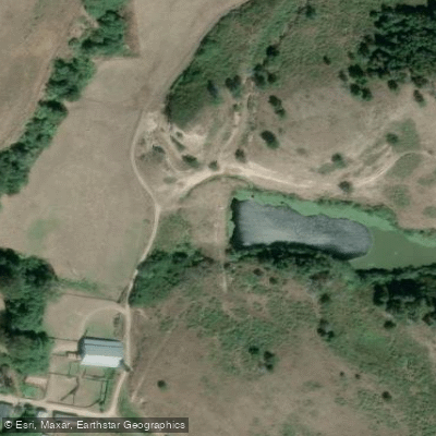
Paddle smarter with real-time insights
Whether you're en route and conditions shift or you're looking for the best spot based on current flows, we enable you to make informed decisions on the fly.








Find Places to Paddle

Over 400,000 Places to Paddle
Every user gets free access to launch points, boat ramps, and public property parcels.


Tides, wind & water conditions (10 day forecast)
On open water, wind and tide matter as much as the weather. See the best times to paddle Drakes Estero and check the marine forecast before you launch.
Loading tide predictions…
Paddling near Drakes Estero
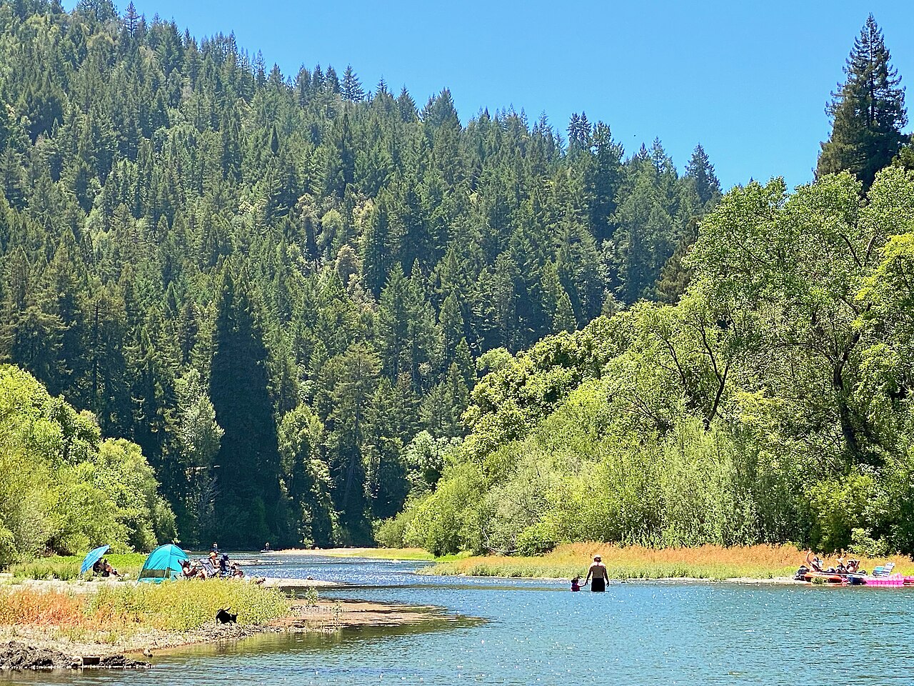
Russian River
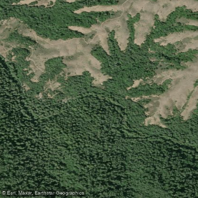
Lagunitas Creek
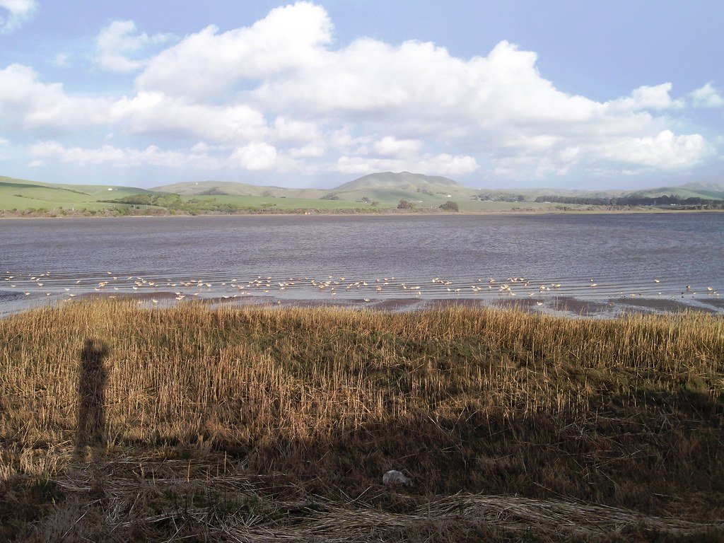
Tomales Bay
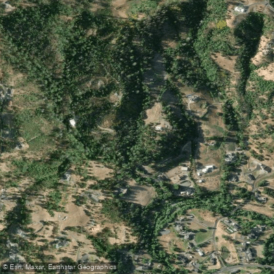
Mark West Creek
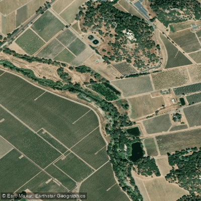
Napa River
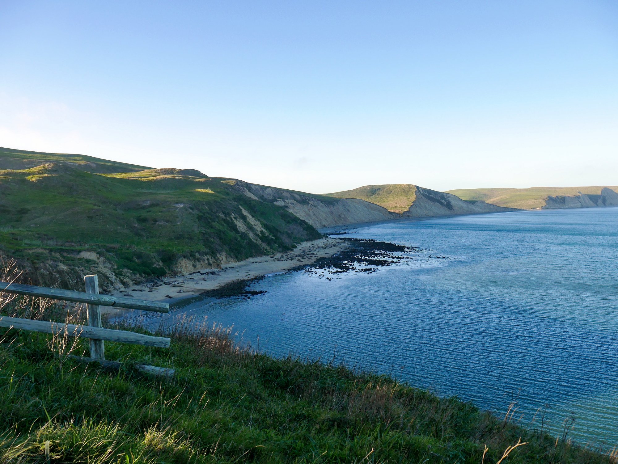
Drakes Bay
Green Valley Creek
Nicasio Reservoir

San Pablo Bay
Lake Berryessa
Explore California waters
Top paddling waters
Popular Cities
Loading popular cities...
Explore near Drakes Estero

Smarter Paddling Starts in the App.
Paddleways gives you everything you need to plan smarter, paddle better, and own every trip from first launch to takeout.