Bodega Bay
- Saltwater
- Bay
Bodega Bay
- Saltwater
- Bay
- Sq. miles
- 11
- Boat Ramps
- 0
- Access Points
- 1
- Campsites
- 5
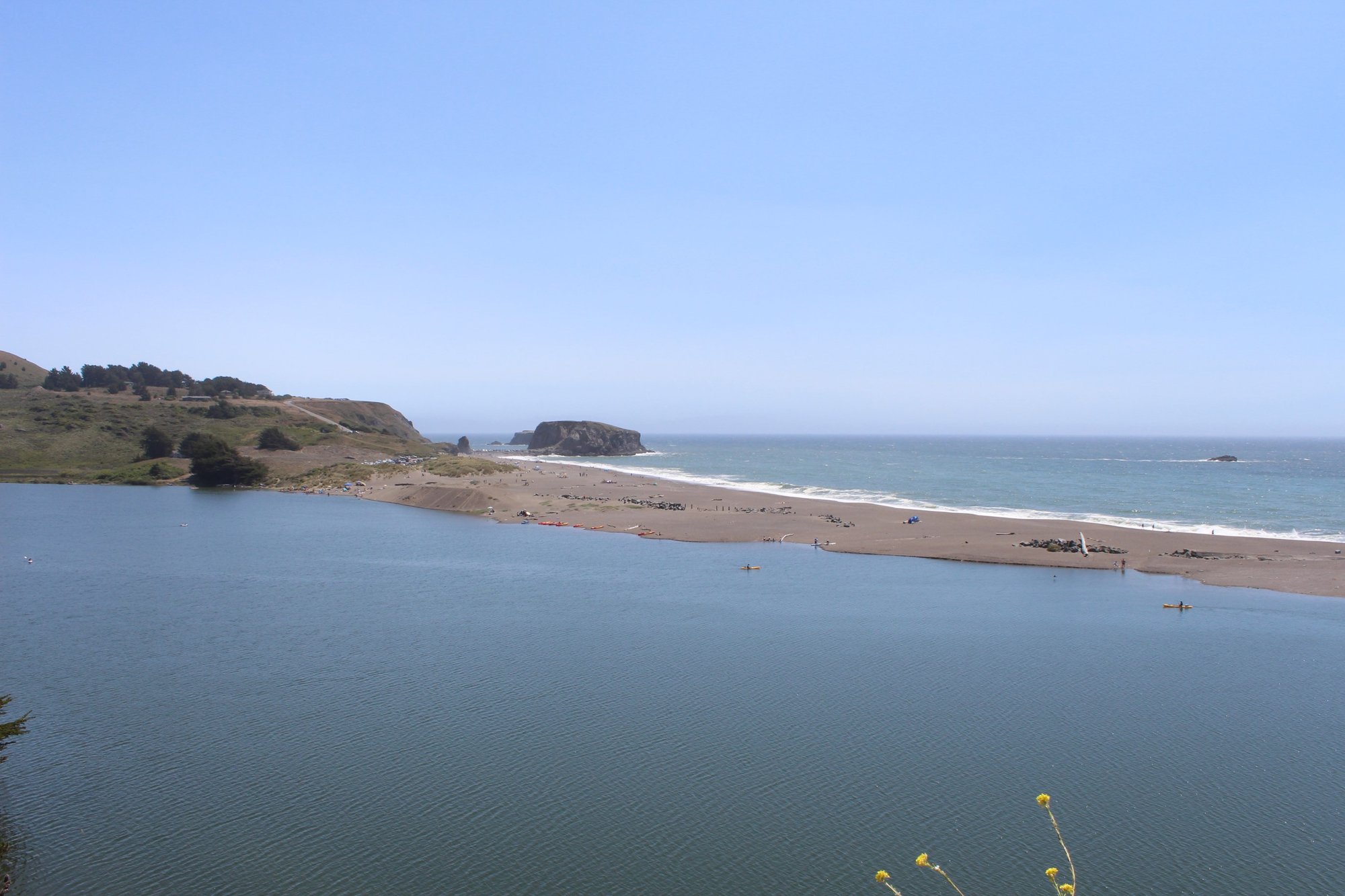
Bodega Bay is a sheltered coastal bay on the Sonoma Coast, offering calm, protected waters inside the harbor that contrast with the open Pacific Ocean. The primary paddling area is the inner bay behind the protective spit, featuring eelgrass flats and views of the working fishing fleet from Spud Point Marina. The bay is accessible year-round, with conditions calmest in the morning. Summer often brings strong afternoon winds and thick fog, while spring and fall typically provide the clearest and calmest weather windows. Water is cold year-round due to coastal upwelling, with temperatures around the 50s Fahrenheit, presenting a hypothermia risk.
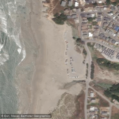
The main developed launch sites are managed by Sonoma County Regional Parks. Doran Regional Park, at the south end of the bay off Highway 1, offers the most protected beach launch on the inner bay, including a wheelchair-accessible kayak launch; it is open from 7 a.m. to sunset and requires a day-use parking fee. Westside Regional Park near Spud Point provides a three-lane boat launch and another wheelchair-accessible kayak launch on Bodega Harbor. Campbell Cove is an alternate launch point. Commercial kayak and stand-up paddleboard rentals and guided tours are available from local outfitters, often including beginner-friendly onshore safety clinics.
A critical safety consideration is to stay well inside the bay and avoid the harbor entrance, locally referred to as the "jaws." This area has strong tidal currents, breaking ocean swell, and significant boat traffic, making it unsuitable for flatwater paddlers. Wind and fog can develop rapidly, reducing visibility. Paddlers must remain vigilant for fishing vessel traffic in the main channel and around Spud Point Marina. Wildlife commonly observed includes harbor seals, great blue herons, brown pelicans, and various shorebirds. The bay is tidal, so planning around tide stages is necessary.
Water access, boat ramps & amenities
Learn how to get on Bodega Bay. Uncover great paddling access points, boat ramps, and all the facilities you need for an unforgettable day on the water. Some locations shown may border or include private property. Always check property boundaries and applicable regulations before visiting. PaddleWays's Public & Private Land layer can help you plan your access with confidence.
Paddle smarter with real-time insights
Whether you're en route and conditions shift or you're looking for the best spot based on current flows, we enable you to make informed decisions on the fly.








Find Places to Paddle

Over 400,000 Places to Paddle
Every user gets free access to launch points, boat ramps, and public property parcels.


Tides, wind & water conditions (10 day forecast)
On open water, wind and tide matter as much as the weather. See the best times to paddle Bodega Bay and check the marine forecast before you launch.
Loading tide predictions…
Paddling near Bodega Bay
Russian River
Lagunitas Creek
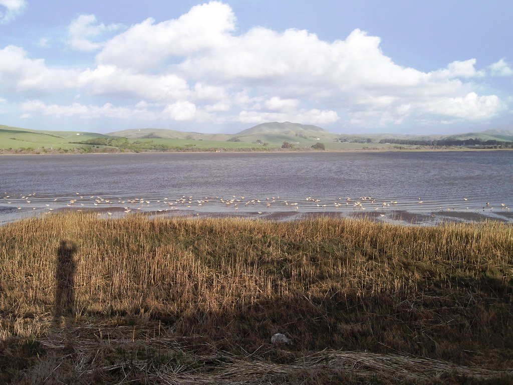
Tomales Bay
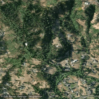
Mark West Creek
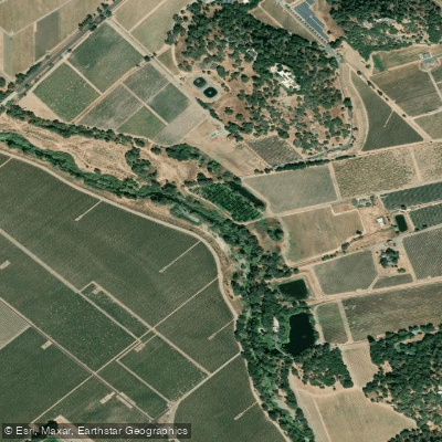
Napa River
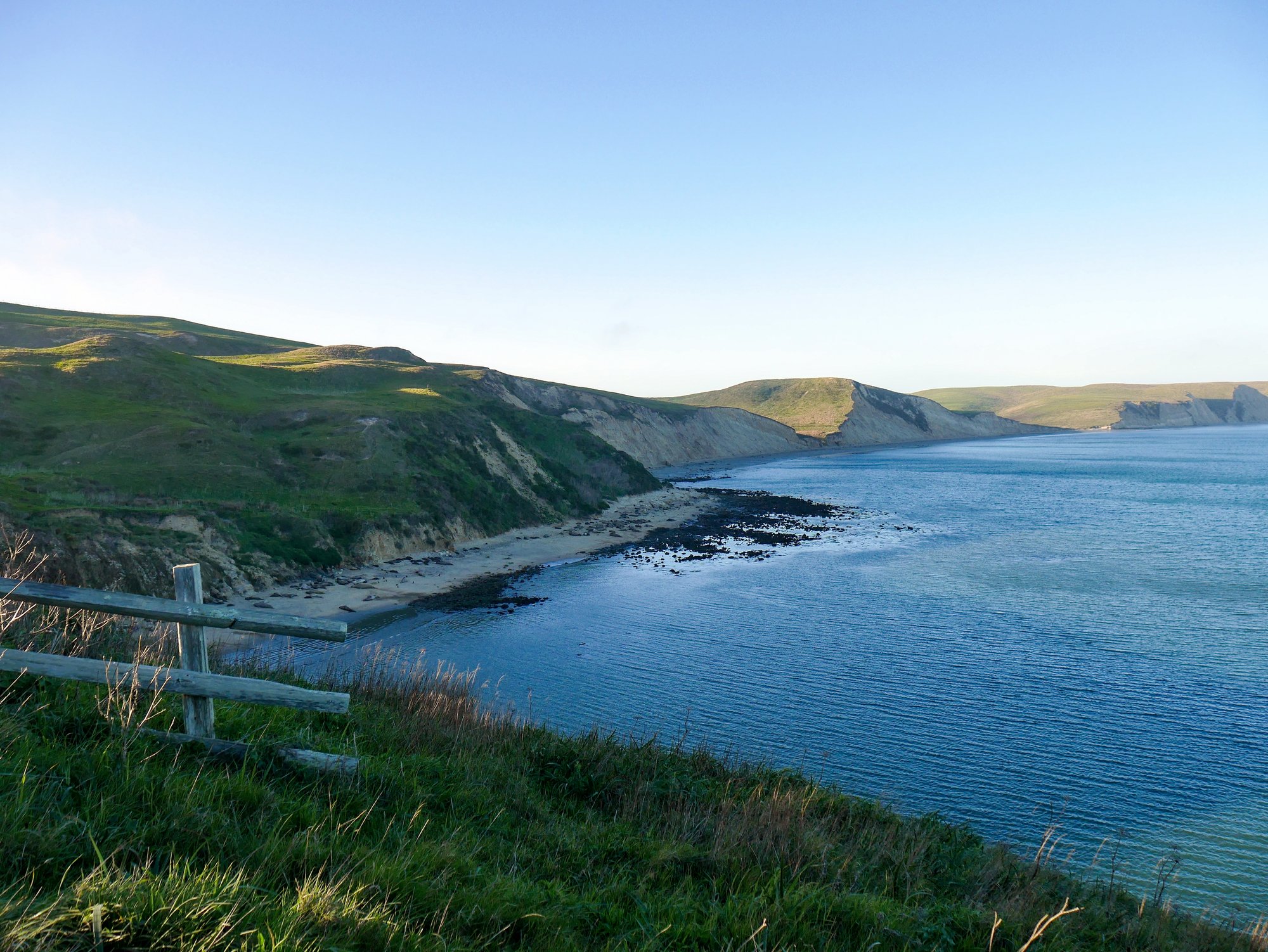
Drakes Bay
Green Valley Creek
Nicasio Reservoir

San Pablo Bay
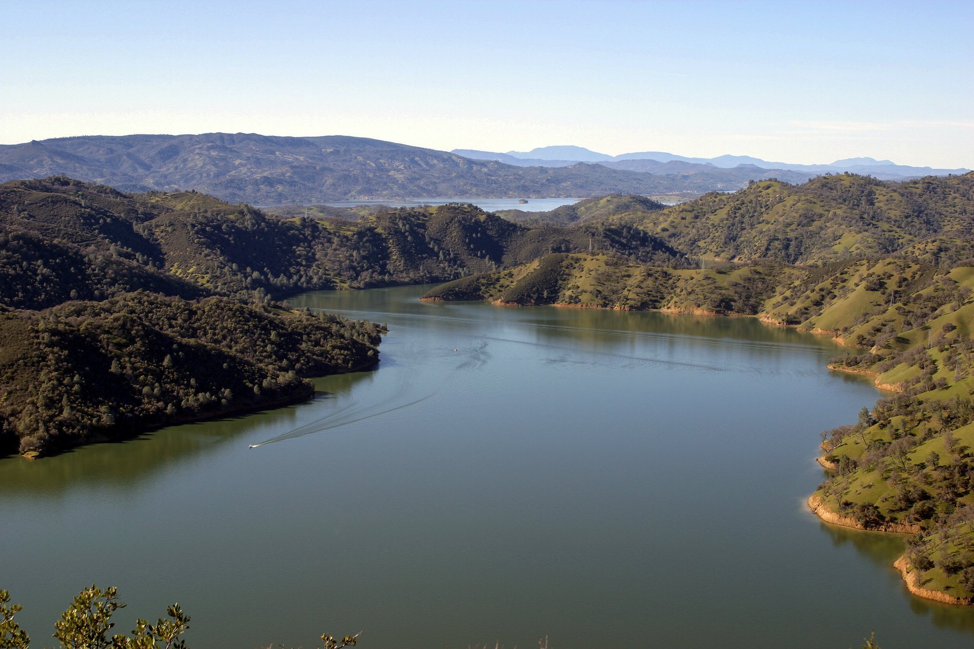
Lake Berryessa
Explore California waters
Top paddling waters
Popular Cities
Loading popular cities...
Explore near Bodega Bay
Access points
Nearby waters
More in California

Smarter Paddling Starts in the App.
Paddleways gives you everything you need to plan smarter, paddle better, and own every trip from first launch to takeout.