Freshwater Lagoon
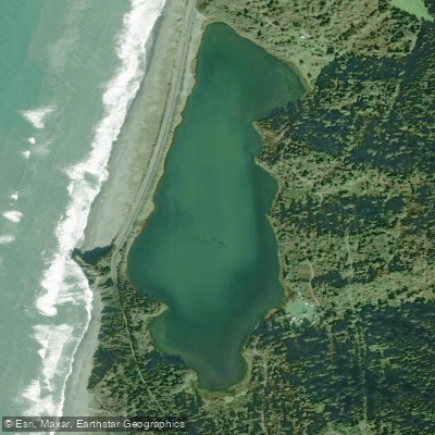
Freshwater Lagoon
- Boat Ramps
- 1
- Access Points
- 2
- Campsites
- 3
Freshwater Lagoon is located 1.5 miles south of Orick, California, within Humboldt Lagoons State Park and partially within Redwood National Park. As the northernmost of four lagoons in the area, it is unique as a fully enclosed freshwater body, separated from the Pacific Ocean by Highway 101 which runs atop a natural sandspit.
A boat ramp on the northwest side of the lagoon provides the primary access point for paddlers, with ample parking for cars and boat trailers. The lagoon offers some of the most protected paddling conditions among the Humboldt lagoons, with particular shelter from strong north winds. A narrow band of freshwater marsh borders the lagoon, creating habitat for diverse wildlife.
The lagoon supports excellent wildlife viewing opportunities as part of the Pacific Flyway. Paddlers can observe numerous bird species, including bald eagles and peregrine falcons. Roosevelt elk, river otters, and other wildlife frequent the area. The western shoreline features a long wide beach with dunes, and a notable rock arch can be found at the southern end.
Fish species in the lagoon include largemouth bass, catfish, cutthroat trout, and stocked rainbow trout. Anglers must possess a valid California fishing license, which is not available for purchase at park facilities.
The lagoon is co-managed by California State Parks and Redwood National Park. Day use areas are open from sunrise to sunset year-round. Nearby amenities include picnic facilities and restrooms at the Redwood Creek Picnic Area just north of the lagoon. The Stone Lagoon Visitor Center, located slightly south at 15336 Highway 101, provides additional facilities and information.
The area experiences mild summers with morning fog typically burning off by midday. Winter brings cooler temperatures and increased rainfall, with frequent weather changes throughout the year.
Water access, boat ramps & amenities
Learn how to get on Freshwater Lagoon. Uncover great paddling access points, boat ramps, and all the facilities you need for an unforgettable day on the water. Some locations shown may border or include private property. Always check property boundaries and applicable regulations before visiting. PaddleWays's Public & Private Land layer can help you plan your access with confidence.
Paddle smarter with real-time insights
Whether you're en route and conditions shift or you're looking for the best spot based on current flows, we enable you to make informed decisions on the fly.








Find Places to Paddle

Over 400,000 Places to Paddle
Every user gets free access to launch points, boat ramps, and public property parcels.


Water and weather conditions (10 day forecast)
See the best times to paddle Freshwater Lagoon and check the forecast before you go.
No forecast data available.
Paddling near Freshwater Lagoon

Klamath River
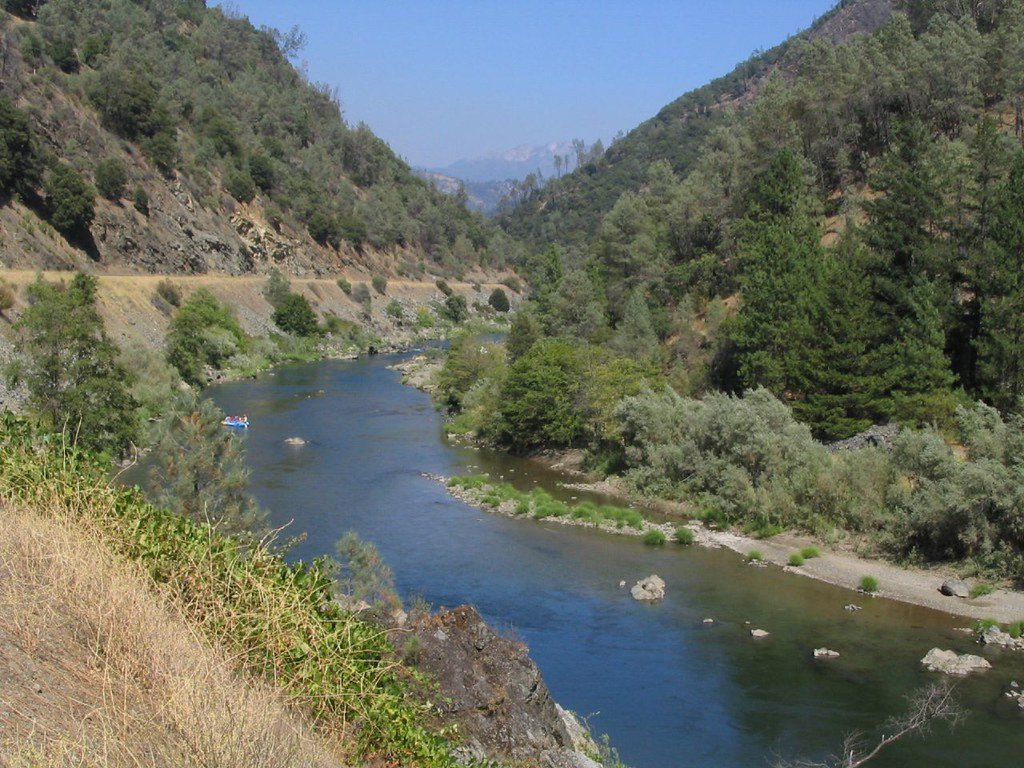
Trinity River
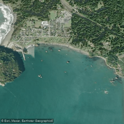
Trinidad Bay
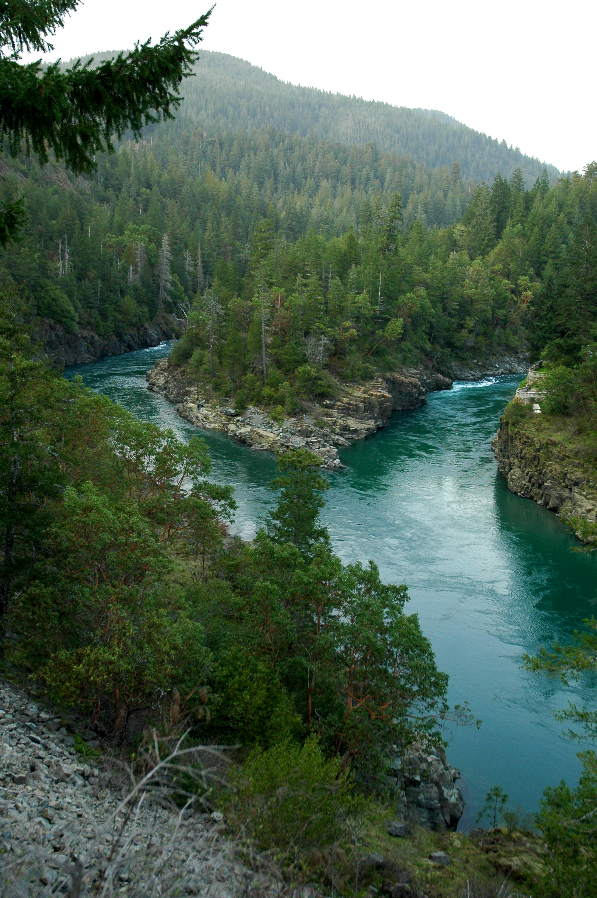
Smith River
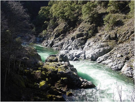
Salmon River
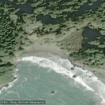
College Cove North
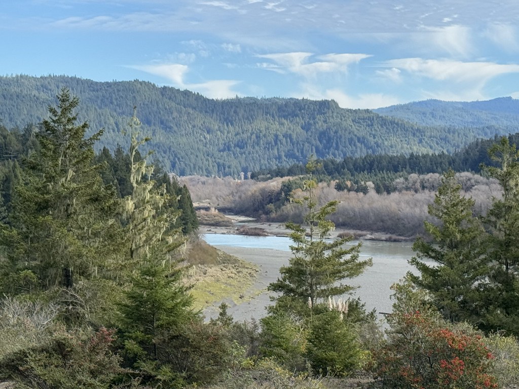
Eel River
Mad River
Arcata Bay
South Fork Smith River
Explore California waters
Top paddling waters
Popular Cities
Loading popular cities...
Explore near Freshwater Lagoon
Access points
Nearby waters
More in California

Smarter Paddling Starts in the App.
Paddleways gives you everything you need to plan smarter, paddle better, and own every trip from first launch to takeout.