Curated by PaddleWays
RouteFlatwater
- Distance
- 1.6 mi
- Paddle time
- ~0.5 hrs
- Put-in → take-out
- Bantz Park Access → York County Heritage Rail Trail Access
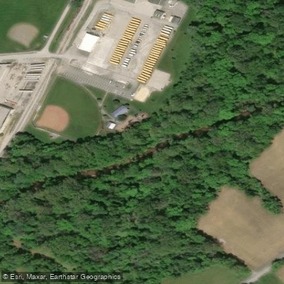
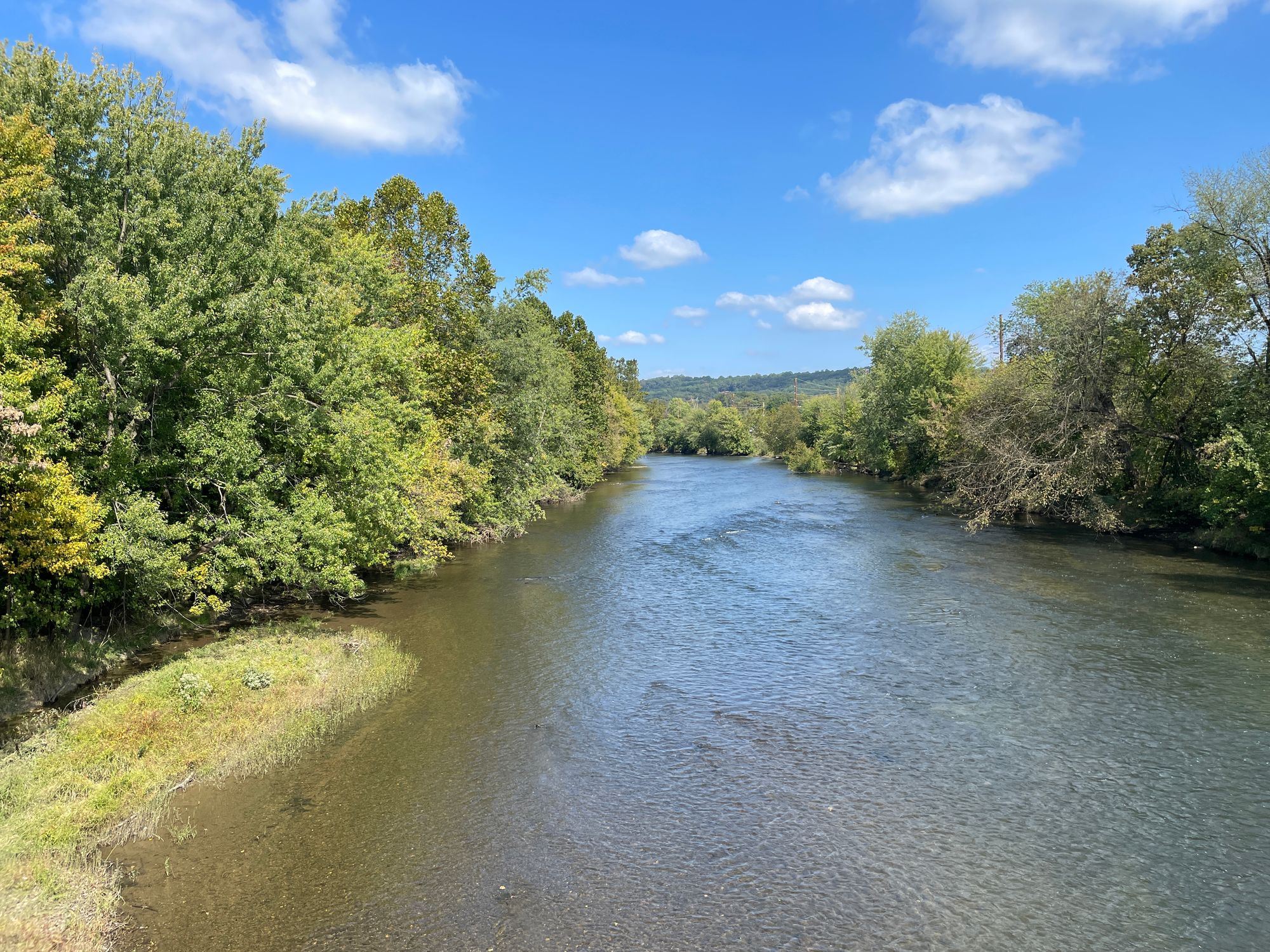
Codorus Creek flows through York County, Pennsylvania, originating from its West and East Branches before converging and continuing northward to join the Susquehanna River. The creek system drains approximately 278 square miles of the Codorus Creek Watershed, passing through a landscape that transitions from rural farmland to the urban center of York City.
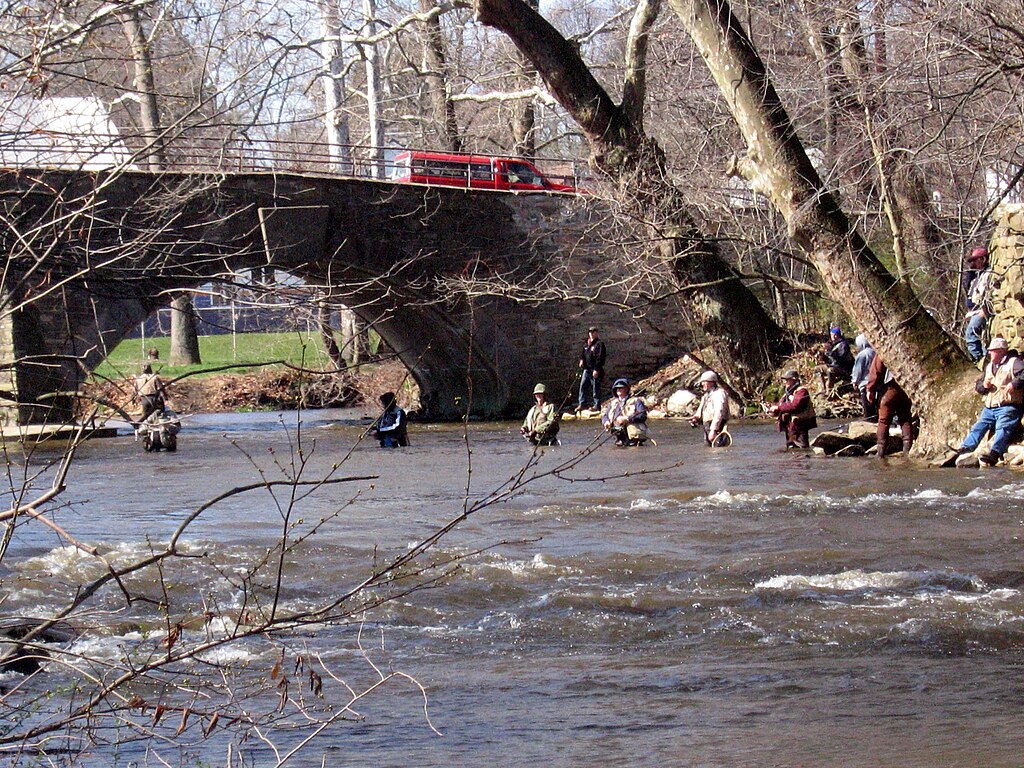
The West Branch, which flows below Lake Marburg at Codorus State Park, offers a Class A wild trout fishery particularly noted for its wild brown trout population. This tailwater section remains cool year-round, supporting trout in a 2-mile stretch that attracts fly anglers seeking challenging technical fishing. The East Branch is regularly stocked and provides more accessible angling opportunities.
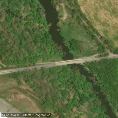
Paddling opportunities exist primarily on the main stem through York City, where the Codorus Greenway project has enhanced public access along approximately one mile of waterfront. The creek's character varies significantly—upper sections near the branches tend to be narrow and shallow, while the main stem through York widens considerably. Water levels fluctuate dramatically with rainfall, and paddlers should check conditions before launching.
The creek's whitewater section between Route 24 and Codorus Furnace Road is rated Class II-III and spans 4.4 miles, attracting experienced kayakers during periods of adequate flow. This stretch features technical rapids, large rocks, and creek-wide ledges that demand quick decision-making and solid boat control. A notable hazard includes a tree obstruction approximately half a mile from the put-in.
Historical significance runs deep—York City served briefly as the nation's capital during the Revolutionary War, and the creek powered early industry including the Mary Ann Furnace, built in 1762 to supply munitions for the Continental Army. The waterway's industrial legacy left environmental challenges that ongoing restoration efforts continue to address.
Access points include Codorus State Park facilities near Hanover, various bridges along Route 216, and the York Heritage Rail Trail which parallels portions of the creek. The rabbittransit transfer center in York provides a regional transit hub near the waterway.
Seasonal patterns favor spring and fall for both fishing and paddling. Spring brings mayfly hatches that draw large trout to the surface, while fall sees aggressive pre-spawn brown trout behavior. Summer paddling is possible but requires monitoring water temperatures and levels. Winter fishing remains viable in the tailwater sections due to consistent cold-water releases.
Safety considerations include the creek's flood history—devastating floods occurred in 1933 and 1972 (Hurricane Agnes)—making awareness of weather conditions critical. The U.S. Army Corps of Engineers maintains flood control infrastructure throughout the system. Anglers should note special regulations on the West Branch, and paddlers must respect the Class II-III rating and scout unfamiliar sections.
Curated routes
Hand-picked by the PaddleWays team, with put-ins, take-outs, paddle times and the hazards along the way.
RouteFlatwater
RouteFlatwater
RouteClass I–III
Hazards
No paddler has reported a hazard here yet, so these are the dams, falls and big rapids on our map. Hazards change with flows and storms, so check them before you launch.
From the community
Nobody has shared a trip on Codorus Creek yet. Paddle it, then tell the next paddler how it went.
See exactly where the public can get on and off the river. Launch points and boat ramps are paired with PaddleWays' public land data so you know where you can legally land.
Public shoreline
8%of the river's shoreline is public
Most of the riverbank is private. Launch, land and camp only at public access points.
Flows, weather and a route-by-route verdict, so you know which stretch of the Codorus Creek is worth paddling today.
All Flow Stations
Live flows, marked hazards and fresh trip reports from paddlers who were just on the water, all in one place.





Every user gets free access to launch points, boat ramps, and public property parcels.

Loading popular cities...
PaddleWays gives you everything you need to plan smarter, paddle better, and own every trip from first launch to takeout.