Curated by PaddleWays
RouteClass I–III
- Distance
- 7.4 mi
- Paddle time
- ~2 hrs
- Put-in → take-out
- Gordon Lake Boat Access → Mason Road Access
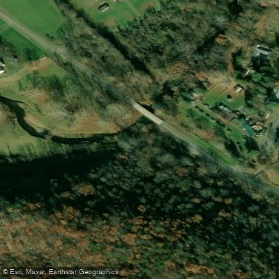
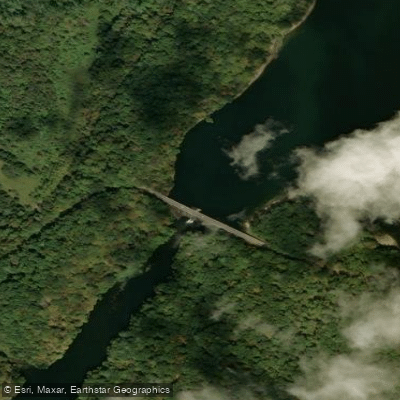
Evitts Creek is a scenic waterway that flows through southwestern Pennsylvania and western Maryland before joining the Potomac River. The creek originates in Bedford County, PA and flows generally southward for approximately 20 miles before entering Maryland. Its primary watershed is part of the larger Potomac River Basin. The creek offers varied paddling opportunities across its length. The upper section from Lake Gordon Dam in Pennsylvania to the Maryland border provides Class I-III whitewater suitable for intermediate paddlers. Below the border, the creek mellows into mostly Class I-II water as it winds through Allegany County, MD. Lake Gordon and Lake Koon, two reservoirs on the upper creek in PA, offer flatwater paddling amid pristine Appalachian scenery.
Paddling is best in spring and early summer when water levels are highest. The creek is known for its clear, cold water and is a designated trout stream above Interstate 68 in Maryland. Wildlife viewing opportunities include wood ducks, river otters, and various fish species. Key landmarks include the Lake Gordon and Lake Koon dams, the Evitts Creek Aqueduct near the Potomac confluence, and several historic bridges.
Primary access points are at Lake Gordon, Lake Koon, Maryland Route 144, and Maryland Route 51 near Cumberland. The creek holds historical significance, named after James Evitt, an early European explorer of the area who lived as a hermit nearby in the mid-18th century. The Evitts Creek Aqueduct, built in 1840, is the last remaining canal aqueduct and a testament to the region's transportation history.
Safety considerations include checking water levels, especially below the dams, and being aware of strainers and other obstacles. Paddlers should respect private property along the banks and be mindful of fishing activity, particularly in the trout management areas. While primarily suited for day trips, adventurous paddlers could potentially arrange a multi-day journey from the Pennsylvania lakes all the way to the Potomac River, camping at sites like the Evitts Creek hiker/biker camp along the C&O Canal.
Curated routes
Hand-picked by the PaddleWays team, with put-ins, take-outs, paddle times and the hazards along the way.
RouteClass I–III
Hazards
No paddler has reported a hazard here yet, so these are the dams, falls and big rapids on our map. Hazards change with flows and storms, so check them before you launch.
From the community
Nobody has shared a trip on Evitts Creek yet. Paddle it, then tell the next paddler how it went.
See exactly where the public can get on and off the river. Launch points and boat ramps are paired with PaddleWays' public land data so you know where you can legally land.
Public shoreline
3%of the river's shoreline is public
Most of the riverbank is private. Launch, land and camp only at public access points.
Flows, weather and a route-by-route verdict, so you know which stretch of the Evitts Creek is worth paddling today.
No forecast data available.
Live flows, marked hazards and fresh trip reports from paddlers who were just on the water, all in one place.





Every user gets free access to launch points, boat ramps, and public property parcels.

Loading popular cities...
PaddleWays gives you everything you need to plan smarter, paddle better, and own every trip from first launch to takeout.