Curated by PaddleWays
RouteFlatwater
- Distance
- 3.5 mi
- Paddle time
- ~1 hr
- Put-in → take-out
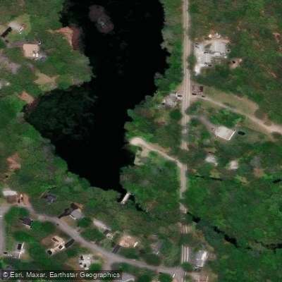
- Hunt River Preserve Access → Potowomut Pond Boat Ramp
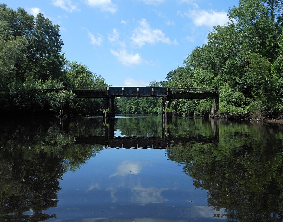
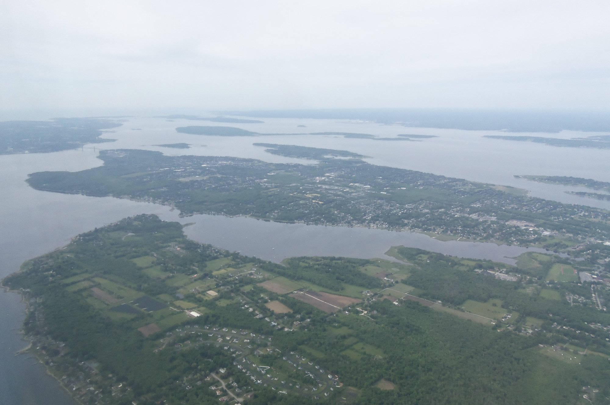
The Hunt River is a scenic waterway located in East Greenwich, Rhode Island, offering paddlers a serene journey through diverse landscapes. This 11-mile river originates at Scrabbletown Brook and flows northeast before entering Potowomut Pond, a 19-acre body of water that serves as a popular starting point for many paddling trips.
The most frequented section of the Hunt River runs from Potowomut Pond to the Davis Memorial Wildlife Refuge, providing an estimated 3-mile round trip for kayakers and canoeists. This flatwater stretch is ideal for beginners and those seeking a relaxing paddle, with calm waters that allow for easy navigation and ample opportunities to observe local wildlife.
For those looking to explore a more secluded area, the Hunt River Preserve offers an alternative put-in point. Owned and maintained by the East Greenwich Land Trust, this small parcel features a pleasant walking trail through uplands surrounded by the river's floodplain, leading to a secluded launch site.
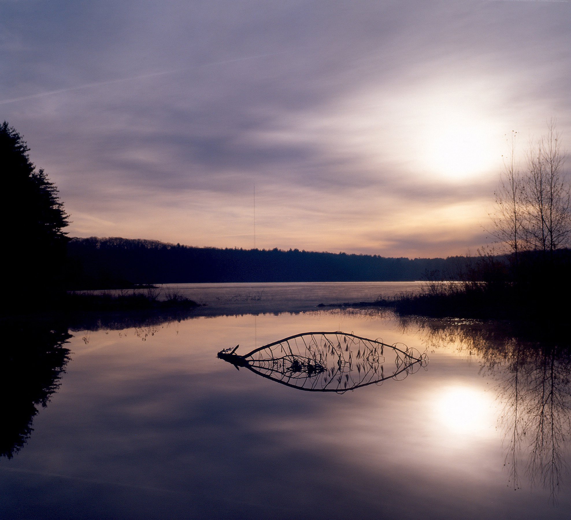
The Hunt River is best paddled during spring and early summer when water levels are typically higher. However, its flatwater nature makes it accessible throughout much of the year, barring extreme weather conditions. Fall foliage season can be particularly beautiful, offering paddlers stunning views of the changing colors reflected in the water.
Wildlife enthusiasts will appreciate the abundance of bird species that call the river and its surrounding areas home. The Davis Memorial Wildlife Refuge, which borders part of the river, is an excellent spot for birding and observing other local fauna. Paddlers may encounter various waterfowl, turtles, and possibly even deer along the shoreline.
Notable landmarks along the Hunt River include the Potowomut Pond Dam and the historic areas around East Greenwich. The river played a role in the early industrial development of the region, though today it primarily serves recreational and conservation purposes.
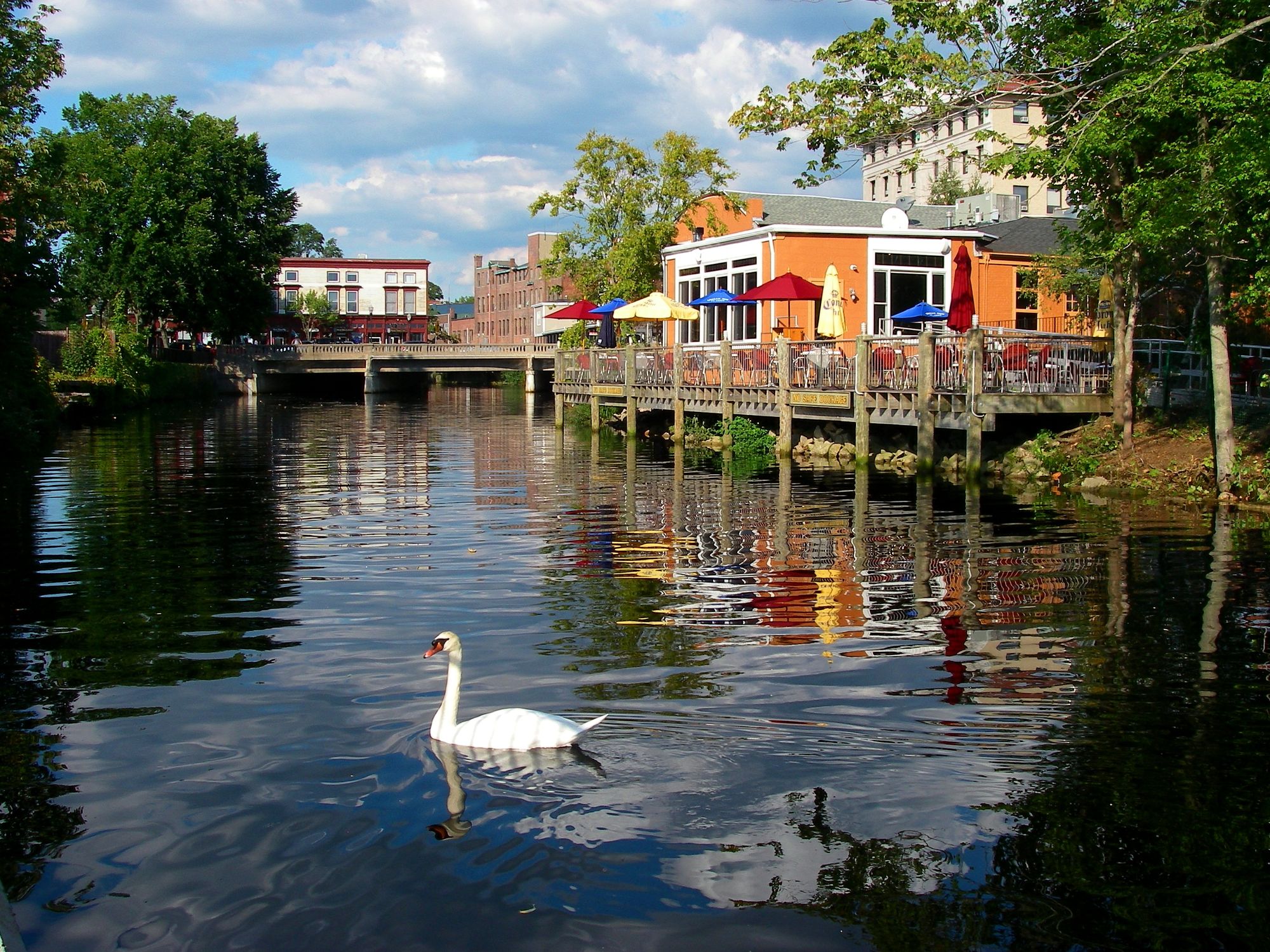
Access to the Hunt River is relatively easy, with primary put-in locations at Potowomut Road and Davisville Road in East Greenwich. The nearby town of East Greenwich offers amenities for paddlers, including restaurants and shops for pre- or post-paddle refreshments.
Safety considerations for paddling the Hunt River are minimal due to its calm nature, but as with all water activities, wearing a personal flotation device is strongly recommended. Paddlers should also be aware of potential submerged obstacles and respect private property along the shoreline.
While the Hunt River doesn't offer extensive multi-day trip options due to its length, it does connect to the Potowomut River, which flows into Narragansett Bay. This connection allows more adventurous paddlers to extend their journey and explore the wider bay area.
Overall, the Hunt River provides a peaceful paddling experience suitable for a wide range of skill levels, making it a cherished local waterway for both residents and visitors to Rhode Island.
Curated routes
Hand-picked by the PaddleWays team, with put-ins, take-outs, paddle times and the hazards along the way.
RouteFlatwater
Hazards
No paddler has reported a hazard here yet, so these are the dams, falls and big rapids on our map. Hazards change with flows and storms, so check them before you launch.
From the community
Nobody has shared a trip on Hunt River yet. Paddle it, then tell the next paddler how it went.
See exactly where the public can get on and off the river. Launch points and boat ramps are paired with PaddleWays' public land data so you know where you can legally land.
Public shoreline
3%of the river's shoreline is public
Most of the riverbank is private. Launch, land and camp only at public access points.
Flows, weather and a route-by-route verdict, so you know which stretch of the Hunt River is worth paddling today.
All Flow Stations
Live flows, marked hazards and fresh trip reports from paddlers who were just on the water, all in one place.





Every user gets free access to launch points, boat ramps, and public property parcels.
Loading popular cities...
PaddleWays gives you everything you need to plan smarter, paddle better, and own every trip from first launch to takeout.