Sudbury River

Sudbury River
- Boat Ramps
- 9
- Access Points
- 15
- Campsites
- 2
The Sudbury River is a scenic 32.7-mile waterway in eastern Massachusetts, originating in Cedar Swamp in Westborough and flowing northeast to its confluence with the Assabet River in Concord, where it forms the Concord River. This gentle, meandering river passes through several towns including Hopkinton, Framingham, Wayland, Sudbury, and Lincoln before reaching Concord. The Sudbury offers excellent flatwater paddling opportunities suitable for canoeists and kayakers of all skill levels.
Popular sections include the 4-mile stretch from Route 117 in Lincoln to Route 20 in Wayland, and the 8-mile segment from Sherman's Bridge in Sudbury to Lowell Road in Concord. The river's calm waters make it ideal for beginners and families, while more experienced paddlers can enjoy longer trips. Spring and fall are prime paddling seasons when water levels are optimal and foliage is at its peak. Summer paddling is also enjoyable, though some shallow areas may require portaging during dry spells.
The river supports diverse wildlife, including great blue herons, turtles, and occasional river otters. Key landmarks include Fairhaven Bay, a wide, scenic section near Lincoln, and the Great Meadows National Wildlife Refuge, which offers excellent bird-watching opportunities. The historic Old North Bridge in Concord, site of the shot heard 'round the world that began the American Revolution, is a popular destination for paddlers.
Primary access points include: - Route 117 bridge in Lincoln - Sherman's Bridge Road in Sudbury - River Road in Wayland - Lowell Road in Concord
The Sudbury River holds significant historical and ecological importance. Parts of the river are designated as a National Wild and Scenic River, reflecting its natural and cultural value. The river played a role in early American history and was a favorite of 19th-century Transcendentalist writers like Henry David Thoreau.
Paddlers should be aware of occasional low-hanging branches and submerged obstacles, especially after storms. Some sections can become crowded on weekends, particularly near popular rental locations. Multi-day trips are possible by combining the Sudbury with the connected Assabet and Concord Rivers, offering opportunities to explore the region's rich natural and historical heritage.
Water access, boat ramps & amenities
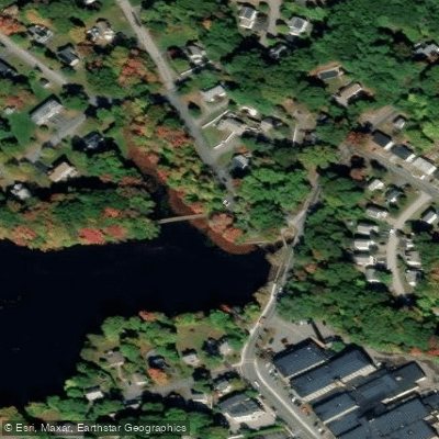
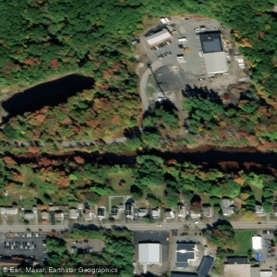
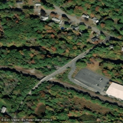
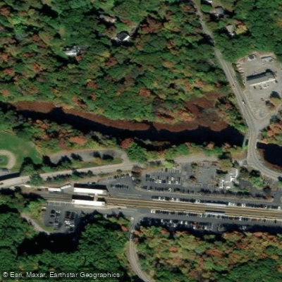
Learn how to get on Sudbury River. Uncover great paddling access points, boat ramps, and all the facilities you need for an unforgettable day on the water. Some locations shown may border or include private property. Always check property boundaries and applicable regulations before visiting. PaddleWays's Public & Private Land layer can help you plan your access with confidence.
Paddle smarter with real-time insights
Whether you're en route and conditions shift or you're looking for the best spot based on current flows, we enable you to make informed decisions on the fly.








Find Places to Paddle

Over 400,000 Places to Paddle
Every user gets free access to launch points, boat ramps, and public property parcels.


Water and weather conditions (10 day forecast)
See the best times to paddle Sudbury River and check the forecast before you go.
SUDBURY RIVER AT SAXONVILLE, MA
Paddling near Sudbury River

Wachusett Reservoir

Massachusetts Bay

Concord River

Assabet River

Broad Sound

Merrimack River

Charles River
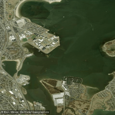
Dorchester Bay
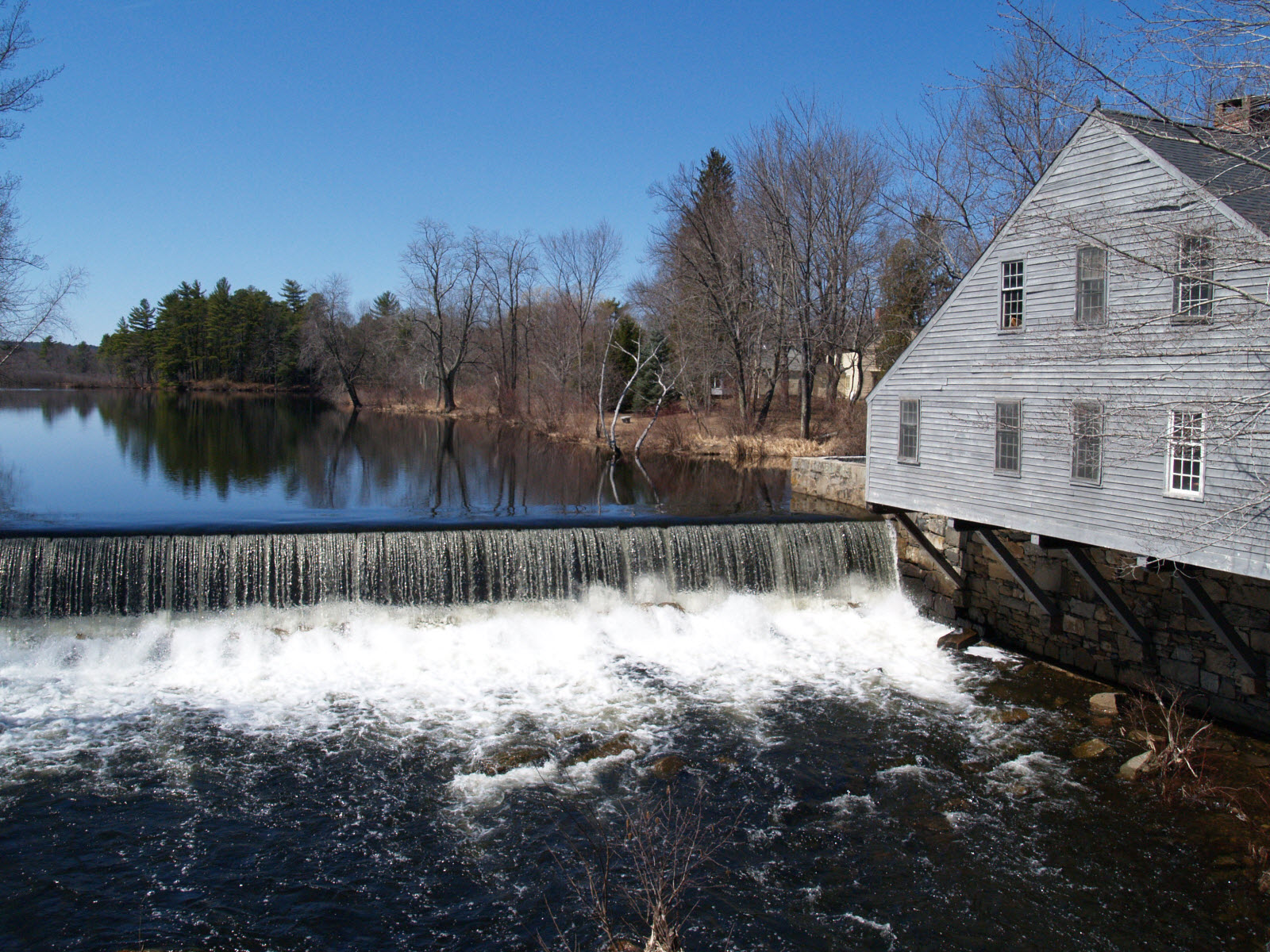
Squannacook River
Explore Massachusetts waters
Top paddling waters
Popular Cities
Loading popular cities...
Explore near Sudbury River
Access points
Nearby waters
More in Massachusetts

Smarter Paddling Starts in the App.
Paddleways gives you everything you need to plan smarter, paddle better, and own every trip from first launch to takeout.