Narragansett Bay
- Saltwater
- Bay
Narragansett Bay
- Saltwater
- Bay
- Sq. miles
- 121
- Boat Ramps
- 31
- Access Points
- 6
- Campsites
- 2
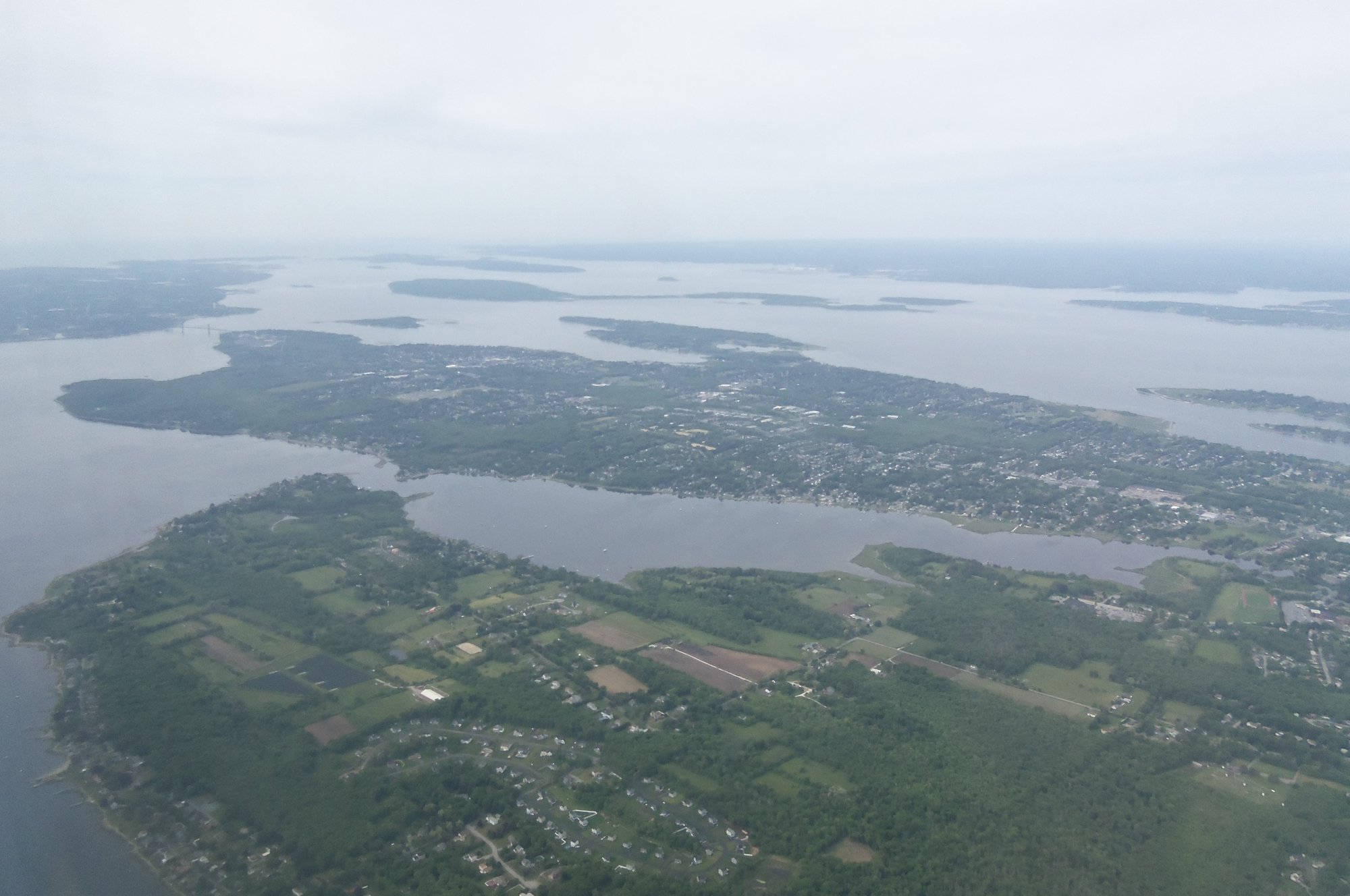
Narragansett Bay is the largest estuary in New England, offering a diverse paddling environment from sheltered coves to open ocean waters. The bay's character varies significantly, with upper sections featuring shallow muddy flats and backwaters, while areas near its mouth transition to deep rock ledges and ocean swell as it opens into Rhode Island Sound. For paddlers, the bay presents several key challenges. Tidal currents can be strong enough in many places to be hard or impossible to paddle against, requiring careful planning of routes with the tide stages. Weather has a pronounced impact, as winds that create minor chop on lakes can quickly generate large, capsize-inducing waves on the bay's wide waters. Fog presents a serious navigational hazard, as disorientation can lead a paddler away from land; carrying a compass and nautical chart is essential. Summer surf can be encountered at exposed points like Point Judith. The bay is also a busy waterway, with significant boat traffic noted as a hazard, particularly when paddling west from Newport into the open water zones.
Numerous public access points exist for launching kayaks and canoes throughout the bay and its watershed. Specific put-in points are documented for areas like the Narrow River, with launches at Gilbert Stuart, Lacey Bridge, and the Pollack Avenue Boat Ramp leading to Pettaquamscutt Cove and the Narrows. In Wickford Harbor, a designated launch exists at 10 Phillips Street. Launch areas elsewhere include beachfronts and boat ramps. The bay provides a range of paddling experiences. The Narrow River offers a peaceful paddle through marshlands with wildlife such as ospreys, herons, seals, and dolphins. More adventurous tours explore North Kingstown's coves and beaches like Bissell Cove, Rome Point, and Fox Island, or venture into the open waters of Block Island Sound. Point Judith Pond allows exploration of coves, inlets, and the fishing village of Galilee. Paddlers should always wear a life jacket and inform someone of their planned route and return time. Checking the general and marine weather forecasts before departure is critical for safety.
Water access, boat ramps & amenities
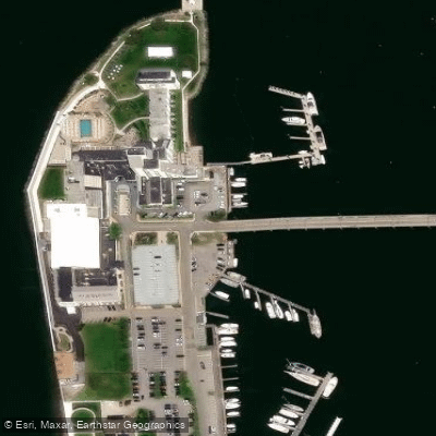
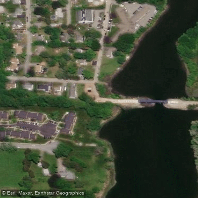
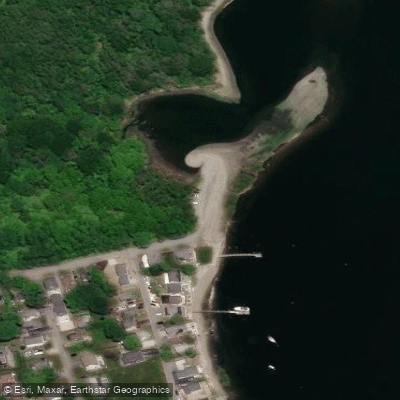
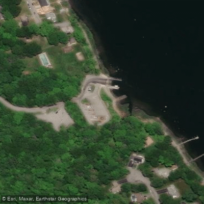
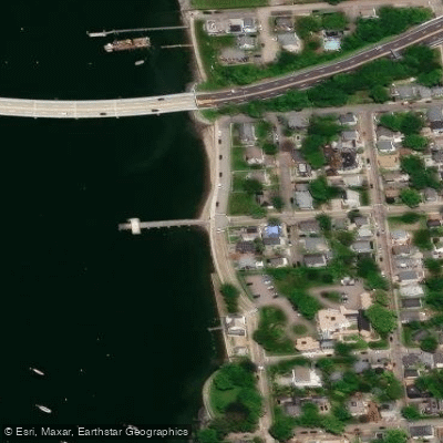
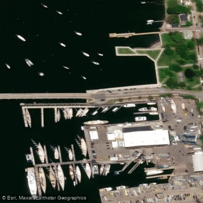
Learn how to get on Narragansett Bay. Uncover great paddling access points, boat ramps, and all the facilities you need for an unforgettable day on the water. Some locations shown may border or include private property. Always check property boundaries and applicable regulations before visiting. PaddleWays's Public & Private Land layer can help you plan your access with confidence.
Paddle smarter with real-time insights
Whether you're en route and conditions shift or you're looking for the best spot based on current flows, we enable you to make informed decisions on the fly.








Find Places to Paddle

Over 400,000 Places to Paddle
Every user gets free access to launch points, boat ramps, and public property parcels.


Tides, wind & water conditions (10 day forecast)
On open water, wind and tide matter as much as the weather. See the best times to paddle Narragansett Bay and check the marine forecast before you launch.
Loading tide predictions…
Paddling near Narragansett Bay

Taunton River
Pawcatuck River

Wachusett Reservoir

Charles River
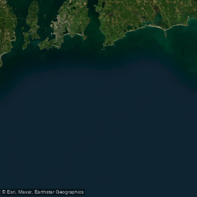
Rhode Island Sound
Clear River
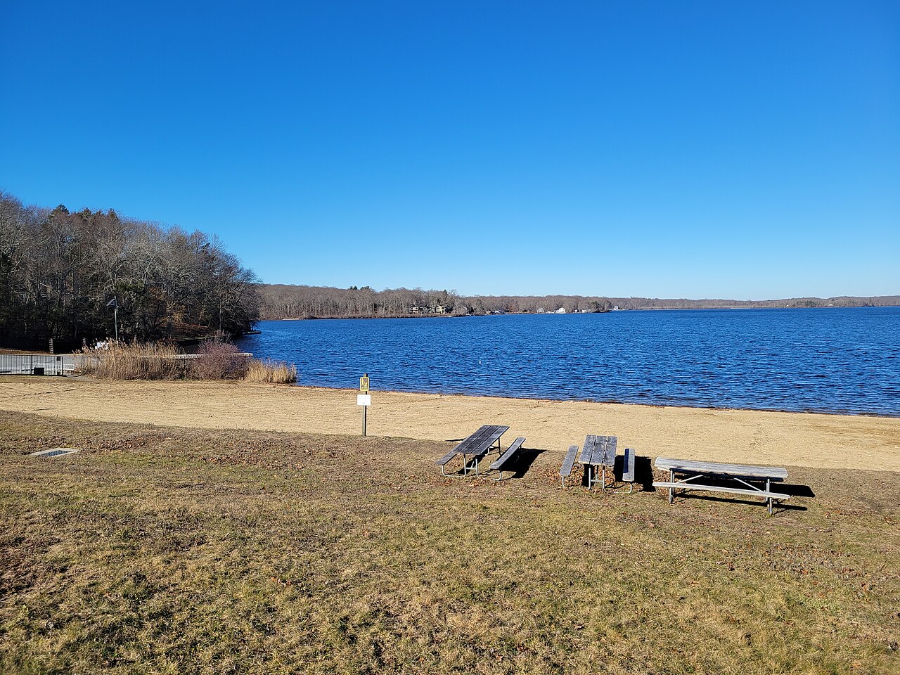
Gardner Lake
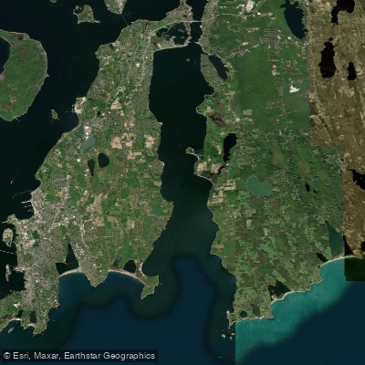
Sakonnet River

Sudbury River
Explore Rhode Island waters
Top paddling waters
Popular Cities
Loading popular cities...
Explore near Narragansett Bay
Access points
- Apponaug Cove Boat Ramp
- Wayposset Preserve Boat Ramp
- Fort Getty Boat Ramp
- Potowomut Neck Boat Ramp
- Aborn Street Boat Ramp
- Ogden Avenue Extension Boat Ramp
- Homestead Boat Ramp
- Barrington Police Station Boat Ramp
- Gano Park Boat Ramp
- Swansea Town Beach Boat Ramp
- Ponaug Marina Boat Ramp
- Longmeadow Boat Ramp
- All 56 spots
Nearby waters
More in Rhode Island

Smarter Paddling Starts in the App.
Paddleways gives you everything you need to plan smarter, paddle better, and own every trip from first launch to takeout.