Curated by PaddleWays
RouteFlatwater
- Distance
- 6.1 mi
- Paddle time
- ~2 hrs
- Put-in → take-out
- Pontiac Canoe Launch Access → Phodes on the Pawtuxet Access
Rapids near the river mouth at low tide
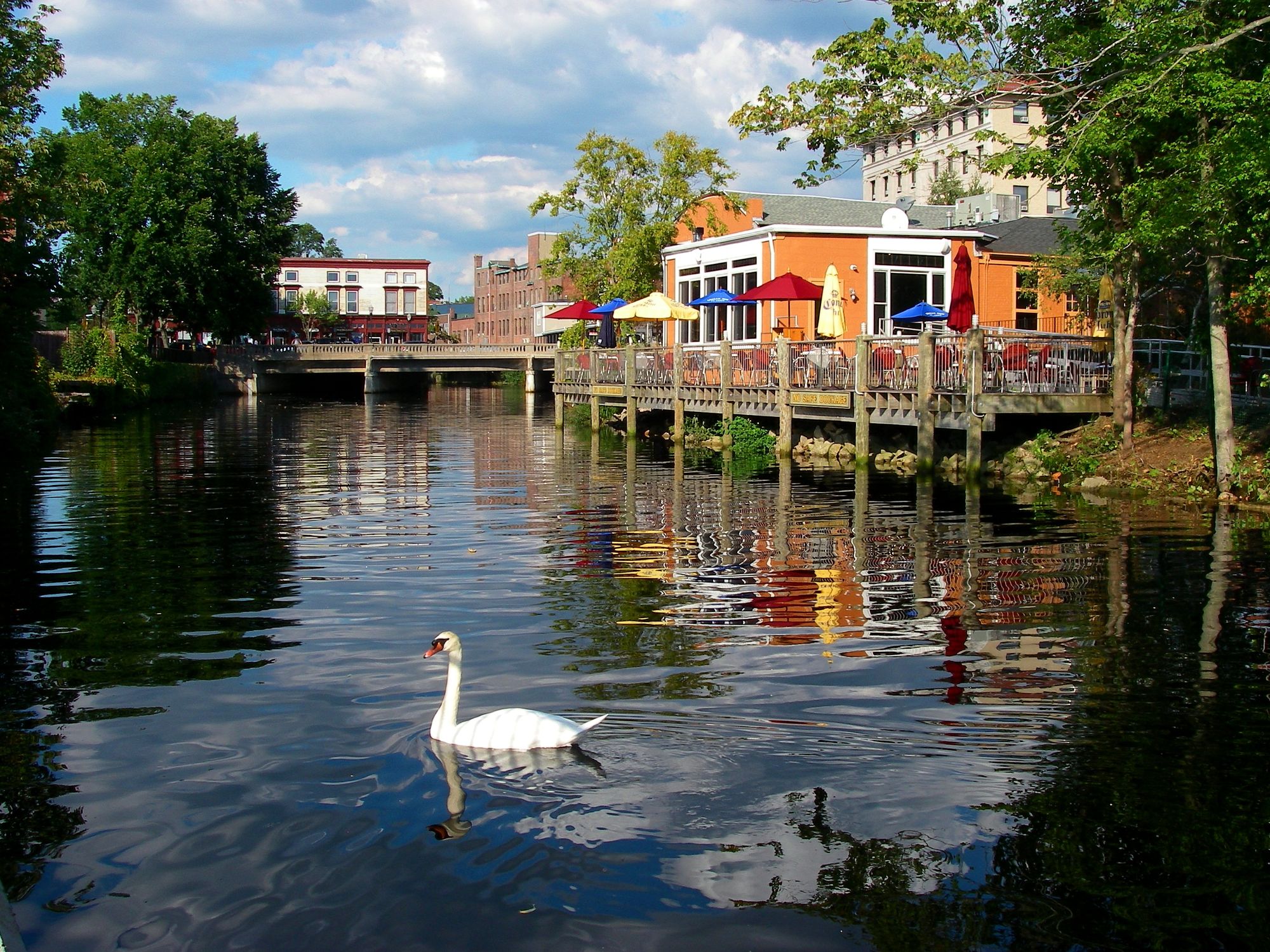
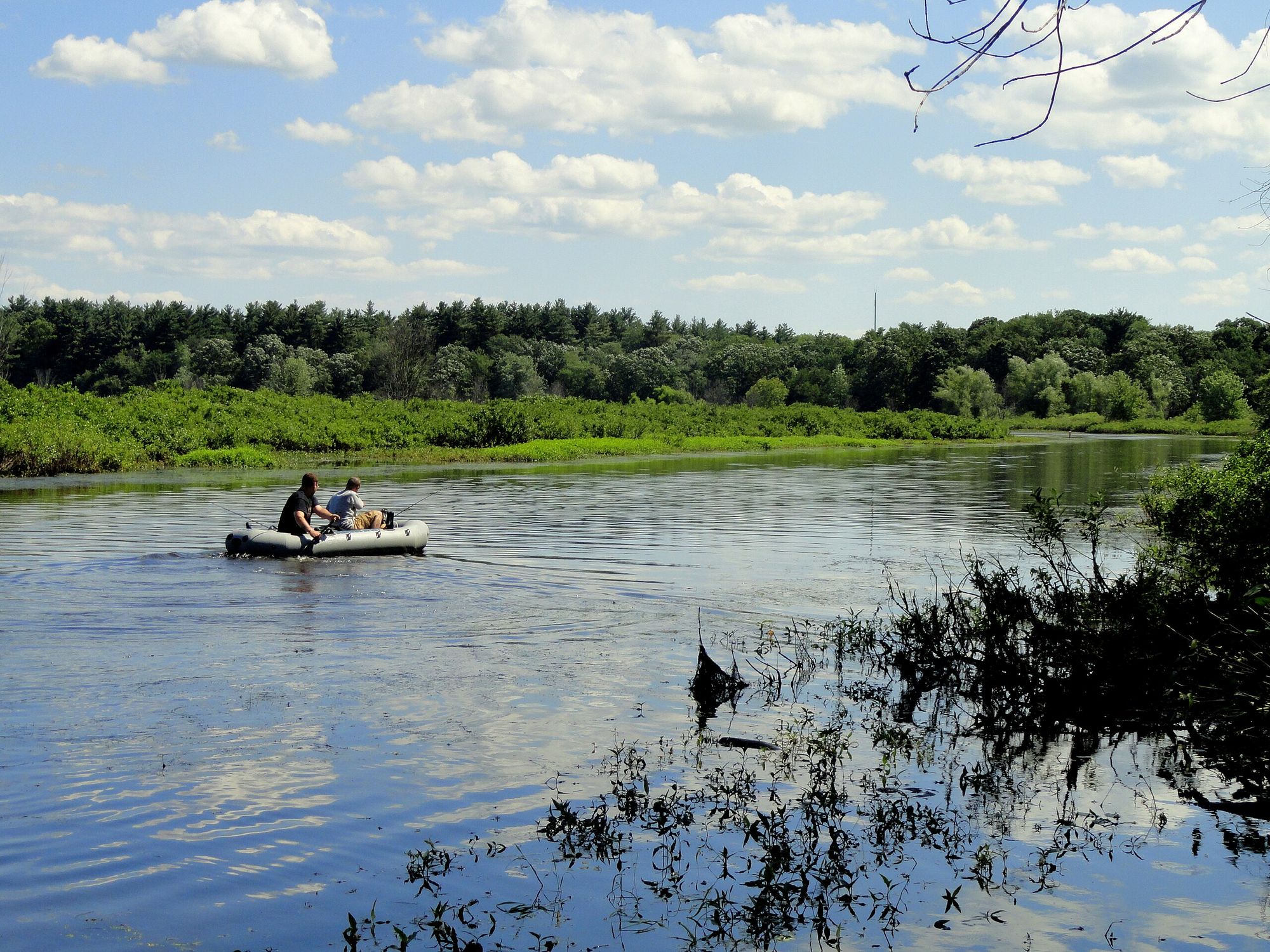
The Pawtuxet River is a scenic waterway located in Rhode Island, offering paddlers a diverse range of experiences from tranquil flatwater to occasional rapids. The river flows through both urban and natural landscapes, providing a unique blend of scenery and paddling opportunities.
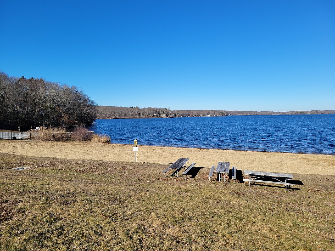
The river can be divided into two main sections: the Upper Pawtuxet and the Lower Pawtuxet. The Upper Pawtuxet, particularly the Hope section, offers a peaceful flatwater paddle ideal for beginners and those seeking a relaxing experience. This 4-mile round trip from Hope Dam to the Scituate Reservoir and back is a popular route, taking paddlers through serene surroundings and past a public beach.
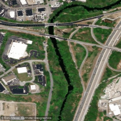
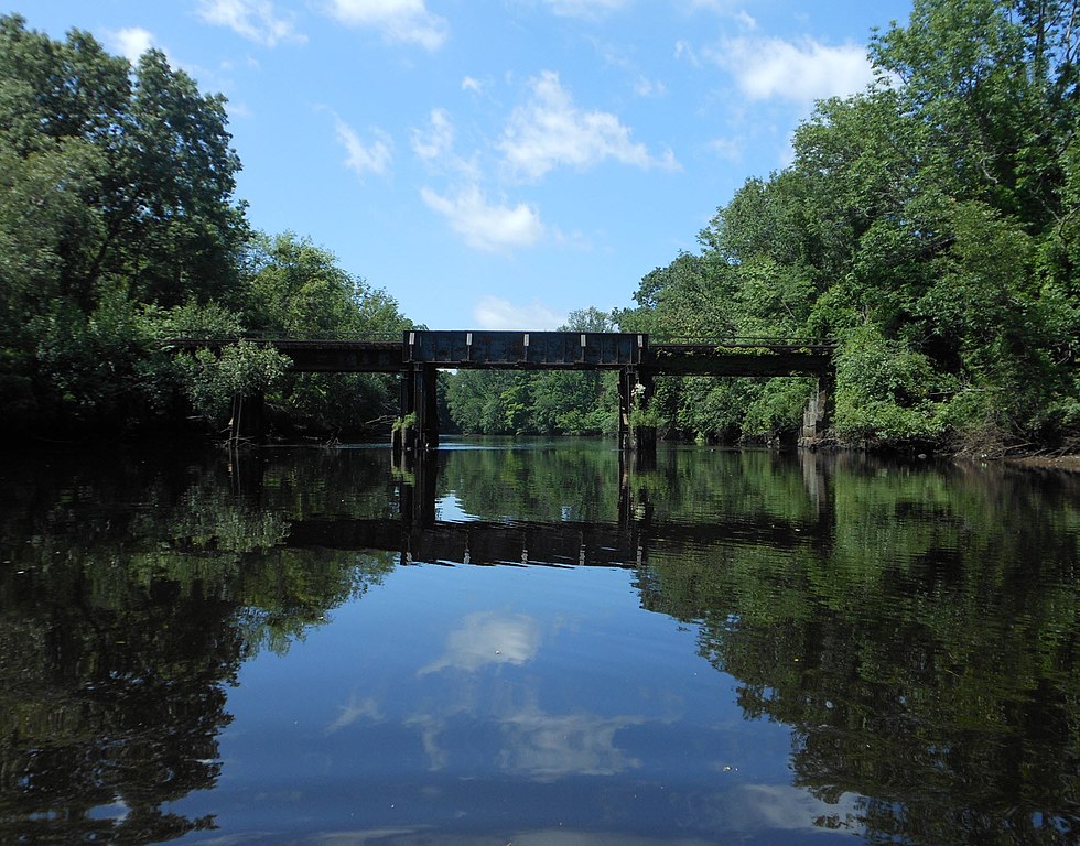
The Lower Pawtuxet presents a more varied paddling experience, with a mix of flatwater and occasional fast sections. A popular 6.5-mile trip starts at the Pontiac Canoe Launch in Warwick and ends at Rhodes on the Pawtuxet in Cranston. This section passes under I-95 bridges and through a blend of natural and developed areas, offering an interesting urban-rural contrast.
The river's difficulty ranges from flatwater to Class I rapids, making it suitable for paddlers of various skill levels. However, some sections near the river's mouth can become more challenging, especially at low tide. Paddlers should be aware that water levels can fluctuate, affecting the difficulty of certain areas.
Spring and fall are generally the best seasons for paddling the Pawtuxet, offering comfortable temperatures and adequate water levels. Summer can also be enjoyable, but some sections may become shallow during dry periods.
Wildlife enthusiasts will appreciate the opportunity to spot various bird species and turtles along the river. The surrounding vegetation provides a green corridor through urban areas, supporting a diverse ecosystem.
Notable landmarks include the historic Pontiac Mills, Hope Dam, and Rhodes on the Pawtuxet, a private facility that kindly allows public river access. The river passes through or near several Rhode Island communities, including Warwick, Cranston, West Warwick, and the historic Pawtuxet Village.
The Pawtuxet River holds significant historical importance, having played a crucial role in the region's industrial development. Many former mill sites along the river serve as reminders of this heritage.
Safety considerations include being aware of water level changes, especially in the lower sections where tidal influence can create rapids. Paddlers should also be cautious of occasional fallen trees or other obstacles in the river.
While multi-day trips are not common on the Pawtuxet due to its relatively short length, the river offers excellent opportunities for day trips and section paddling. The Pawtuxet River Authority and Watershed Council maintains several access points and conservation areas along the river, enhancing recreational opportunities for paddlers and other outdoor enthusiasts.
Overall, the Pawtuxet River provides an accessible and varied paddling experience, offering something for everyone from novice paddlers to those seeking a bit more challenge, all while showcasing the natural beauty and historical significance of Rhode Island's landscape.
Curated routes
Hand-picked by the PaddleWays team, with put-ins, take-outs, paddle times and the hazards along the way.
RouteFlatwater
Hazards
No paddler has reported a hazard here yet, so these are the dams, falls and big rapids on our map. Hazards change with flows and storms, so check them before you launch.
From the community
Nobody has shared a trip on Pawtuxet River yet. Paddle it, then tell the next paddler how it went.
See exactly where the public can get on and off the river. Launch points and boat ramps are paired with PaddleWays' public land data so you know where you can legally land.
Public shoreline
2%of the river's shoreline is public
Most of the riverbank is private. Launch, land and camp only at public access points.
Flows, weather and a route-by-route verdict, so you know which stretch of the Pawtuxet River is worth paddling today.
Live flows, marked hazards and fresh trip reports from paddlers who were just on the water, all in one place.





Every user gets free access to launch points, boat ramps, and public property parcels.
Loading popular cities...
PaddleWays gives you everything you need to plan smarter, paddle better, and own every trip from first launch to takeout.