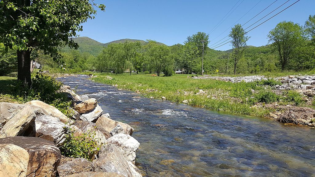
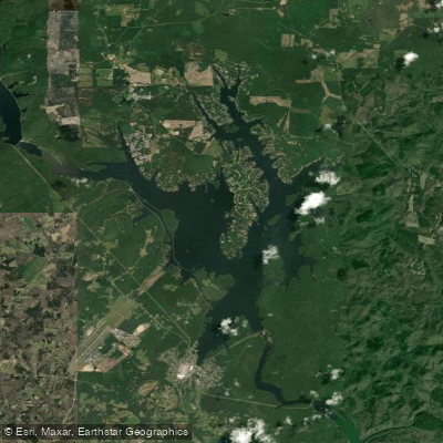
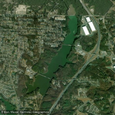
The Catawba River is a major waterway that flows through western North Carolina and into South Carolina, offering a diverse range of paddling experiences across its 220-mile course. From its origins in the Appalachian Mountains to its transformation into the Wateree River in South Carolina, the Catawba presents paddlers with everything from placid flatwater to exciting whitewater rapids.
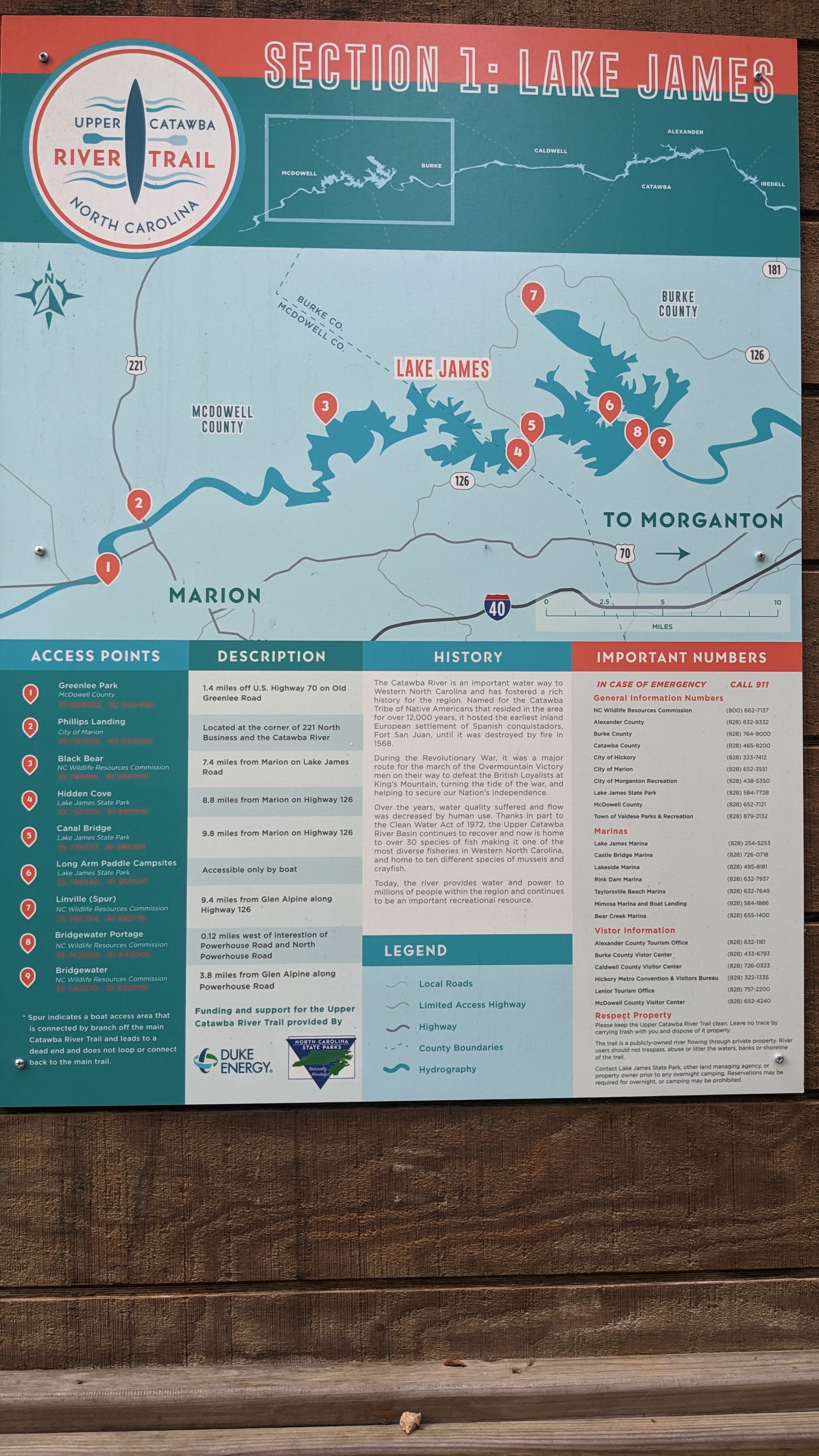
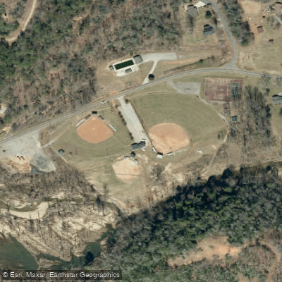
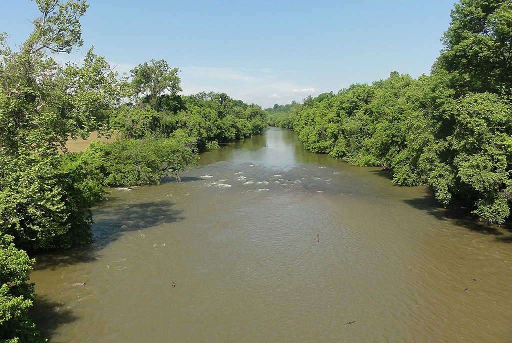
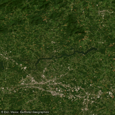
The upper sections of the Catawba in North Carolina provide mostly gentle flows suitable for beginners and families. The Upper Catawba River Paddle Trail stretches 82 miles from Greenlee Park to Lake Lookout Shoals, featuring 22 access points and portages around dams. This section is best paddled from March through November and offers a peaceful journey through scenic landscapes with little river traffic.
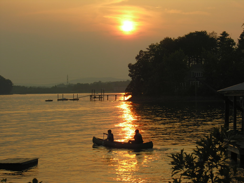
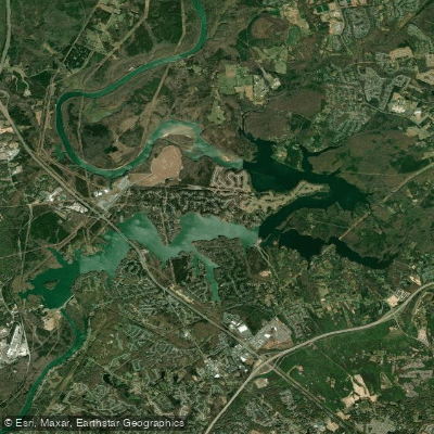
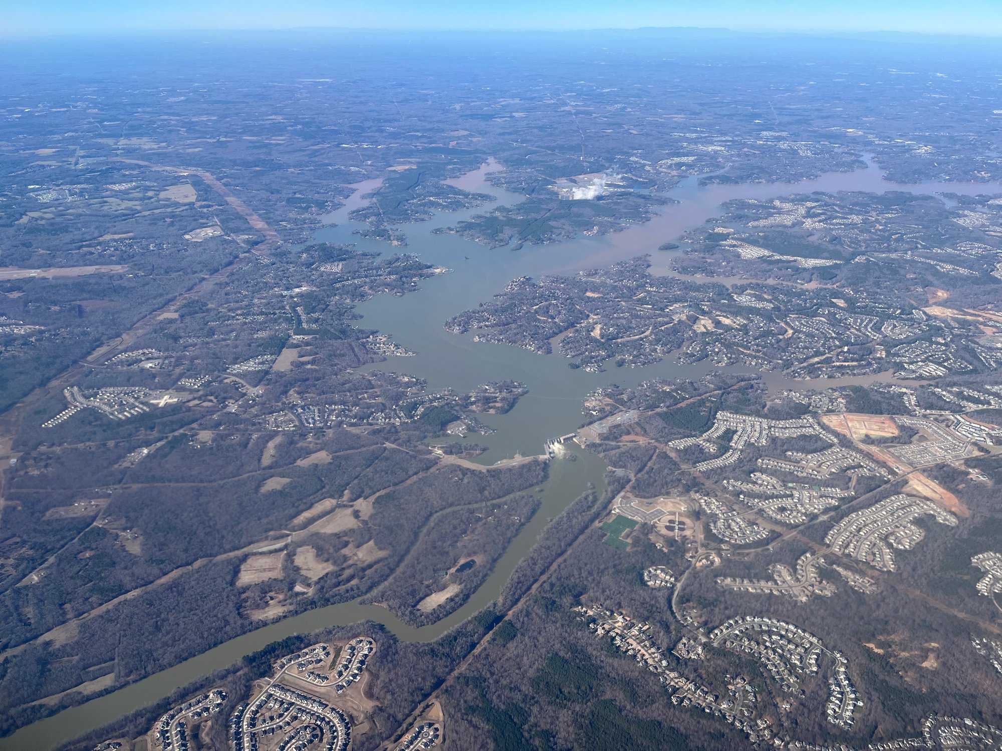
As the Catawba flows into South Carolina, it becomes more diverse in character. The Lake Wylie section spans 30 miles from Mount Holly, NC to Fort Lawn, SC, offering a mix of flatwater paddling on the lake and some Class I-II rapids, which can increase to Class III during high water levels. This section is part of a 30-mile stretch designated as a State Scenic River, known for its outstanding scenery and recreational opportunities.
One of the most notable features of the Catawba is the Rocky Shoals Spider Lily display near Landsford Canal State Park. This spectacular bloom, covering approximately 50 acres, occurs from mid-May to mid-June and attracts visitors from around the world. The park also preserves remnants of the 19th-century canal system that once made the river commercially navigable.
For more experienced paddlers, the Great Falls area offers exciting whitewater opportunities. The recently restored Great Falls Long Channel provides 2 miles of Class II-III rapids, while the Short Channel features more challenging Class III-IV rapids suitable for elite paddlers. These sections benefit from scheduled recreational releases, typically occurring on weekends from March through October.
Wildlife enthusiasts will appreciate the opportunity to spot eagles, osprey, turtles, and various bird species along the river. The protected shorelines and forested banks provide habitat for diverse flora and fauna, making the Catawba an excellent destination for nature observation.
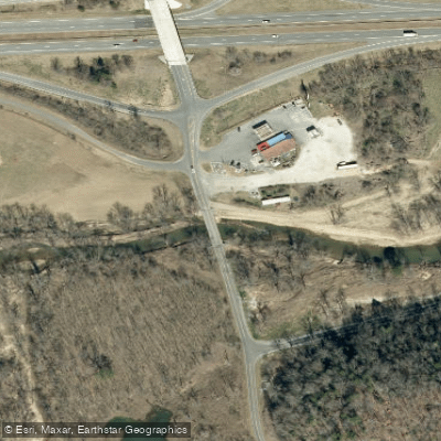
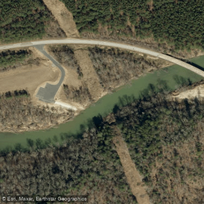
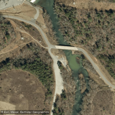
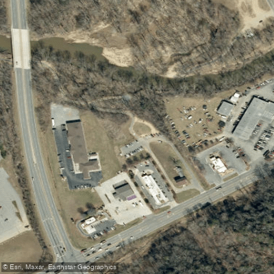
Several towns provide access points and services along the river, including Marion and Mount Holly in North Carolina, and Rock Hill and Great Falls in South Carolina. These communities offer put-in and take-out locations, as well as amenities for paddlers.
Safety considerations on the Catawba River include checking water levels and release schedules, especially near dams, as flow can change rapidly. Paddlers should also be aware of their skill level and choose appropriate sections of the river accordingly.
For those interested in multi-day trips, the Catawba offers several options. A popular route is the 30-mile stretch from Lake Wylie Dam to Landsford Canal State Park, which can be broken into shorter segments with multiple access points along the way.
The Catawba River's rich history, from Native American settlements to its role in early American industry, adds depth to the paddling experience. Today, it continues to be an important resource for both recreation and energy production, with numerous hydroelectric dams along its course. Whether you're seeking a peaceful float through serene landscapes or an adrenaline-pumping whitewater adventure, the Catawba River offers a paddling experience for every skill level, making it a premier destination for water enthusiasts in the Carolinas.