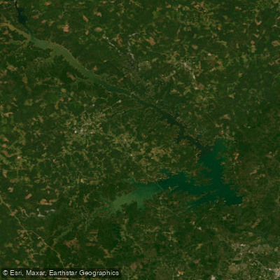
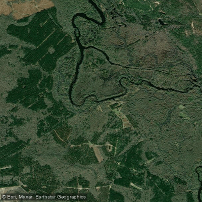
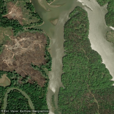
The Savannah River, forming the border between Georgia and South Carolina, offers a diverse range of paddling experiences from its headwaters to its estuary. This historic waterway provides opportunities for both urban and wilderness adventures, catering to paddlers of all skill levels.
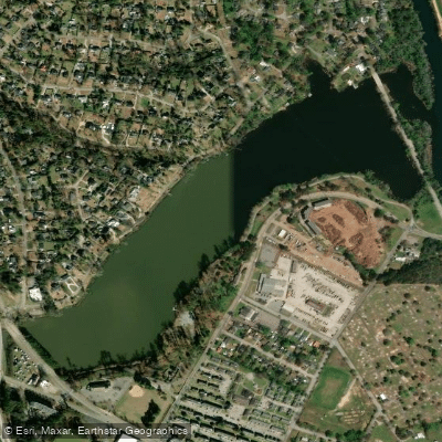
In the Augusta area, the river presents a mix of flatwater and whitewater sections. The Downtown Augusta stretch offers a unique urban paddling experience, with scenic views of the city skyline and landmarks like the 5th Street Pedestrian Bridge and SRP Park.
For a more controlled environment, the Augusta Canal provides a 5-mile flatwater route perfect for families and beginners, featuring interesting sights like a small waterfall near the put-in.
More experienced paddlers can tackle the challenging section from Savannah Rapids Park to the North Augusta Boat Ramp, which includes Class II-III rapids and requires navigating through rocky and shallow areas. This 5-7 mile stretch offers a thrilling ride and showcases both urban and natural scenery.
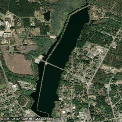
For those seeking calmer waters, Betty's Branch (also known as Little River) is an ideal spot for beginners. This tributary of the Savannah River features a 3-mile stretch of flatwater, perfect for leisurely paddles and wildlife viewing.
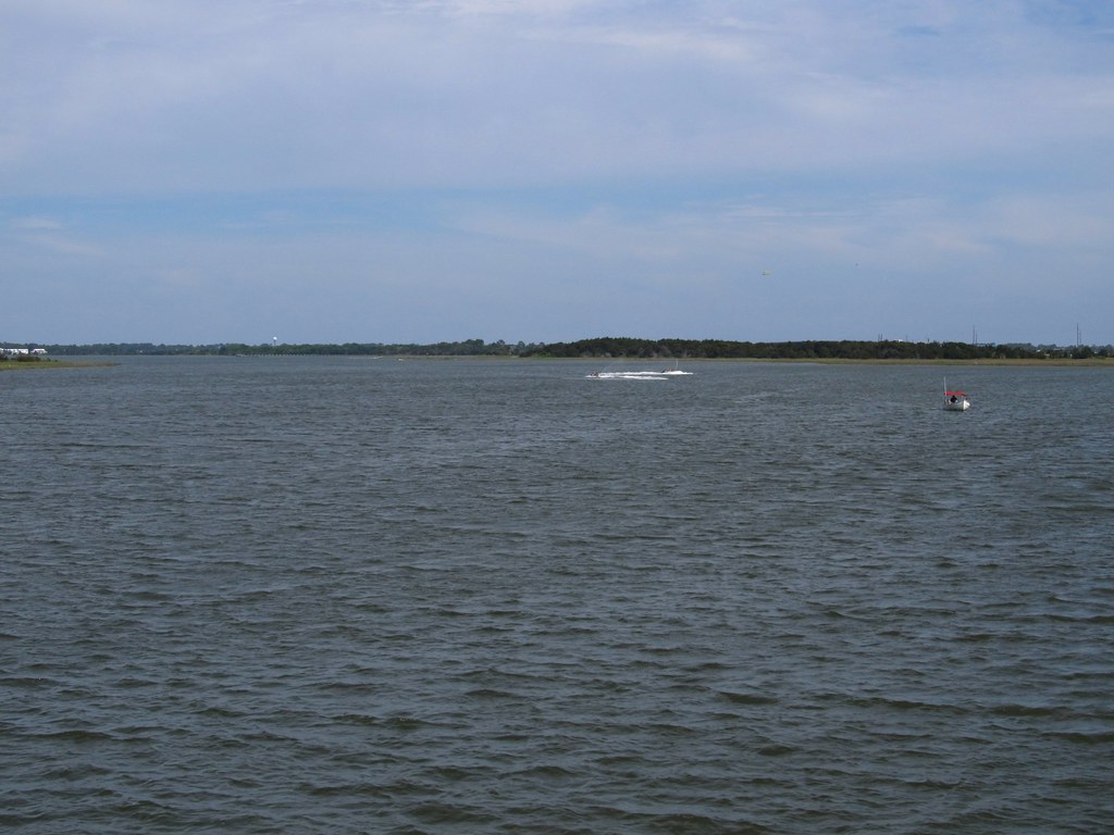
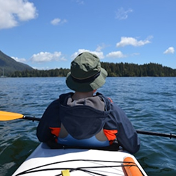
As the river approaches the coast, the Savannah River Estuary near Tybee Island provides a unique coastal paddling experience. Here, kayakers can explore the rich marine ecosystem, potentially spotting loggerhead turtles, otters, and dolphins while paddling past historic sites like the Cockspur Lighthouse.
The best time to paddle the Savannah River varies by section. Spring and fall generally offer comfortable temperatures and good water levels. Summer can be hot but is still popular, especially for flatwater sections. Winter paddling is possible but requires proper cold-water gear.
Throughout its course, the Savannah River is steeped in history. It played a crucial role in the development of cities like Augusta and Savannah, and its banks are dotted with historic sites. The river's importance to local ecology and industry is evident, from the shrimp boats in the estuary to the canal system in Augusta.
Safety considerations include checking water levels before paddling, especially for the whitewater sections. Inexperienced paddlers should stick to flatwater areas or join guided tours. Always wear a life jacket and be aware of local regulations and potential hazards like submerged obstacles or strong currents.
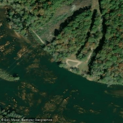
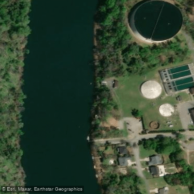
For those interested in multi-day trips, the river offers several options. Paddlers can combine different sections, such as exploring the Augusta Canal and then venturing onto the main river, or taking extended journeys through the coastal areas. Access points are plentiful, with popular put-ins at Savannah Rapids Park, the 5th Street Marina in Augusta, and various locations near Tybee Island. Nearby towns like Augusta, North Augusta, and Savannah provide ample amenities for paddlers.
Whether you're seeking a peaceful float through scenic landscapes, an adrenaline-pumping whitewater adventure, or a chance to explore the rich coastal ecosystem, the Savannah River offers a paddling experience for everyone, making it a premier destination for kayakers and canoeists in the Southeast.