Ogeechee River
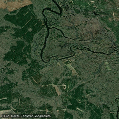
Ogeechee River
- Boat Ramps
- 5
- Access Points
- 7
- Campsites
- 2
The Ogeechee River is a 245-mile long blackwater river in eastern Georgia. It originates at the confluence of its North and South Forks and flows southeast to empty into the Atlantic Ocean near Savannah. Major tributaries include the Canoochee River and Ogeechee Creek. The Ogeechee offers diverse paddling opportunities, from whitewater sections in the upper reaches to lazy flatwater stretches closer to the coast.
The Warren County Whitewater Section near Jewell provides 5 miles of Class II-III rapids suitable for intermediate paddlers. Downstream, the river widens and slows, with popular day trips like the 12-mile Dasher's Landing to Morgan's Bridge section and the 15.5-mile Morgan's Bridge to Kings Ferry run. Overall difficulty ranges from Class I-III, with most sections being flatwater suitable for beginners.
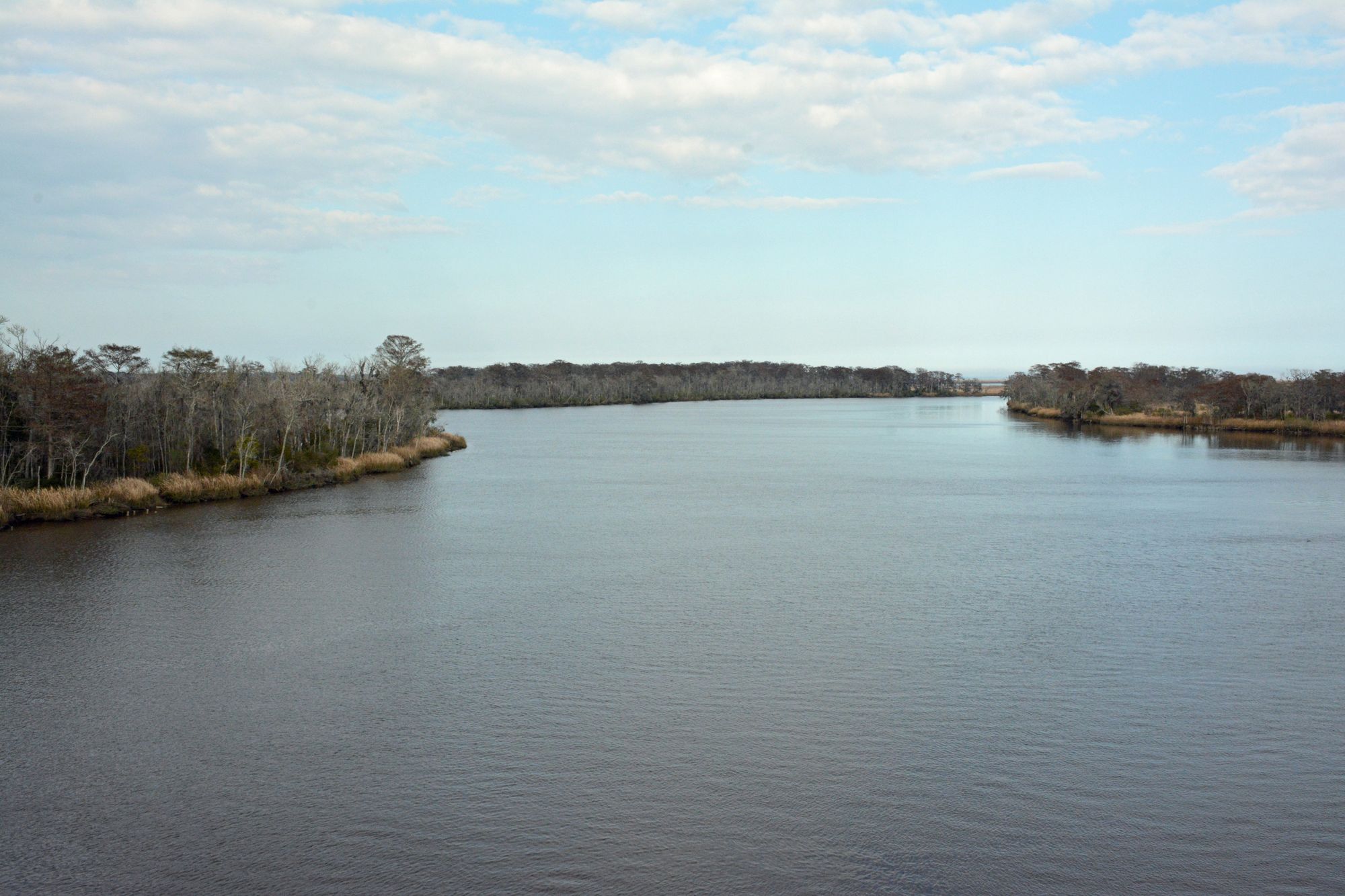
The river is best paddled in spring and fall when water levels are higher and temperatures more moderate. Summer paddling is possible but requires awareness of low water hazards. The Ogeechee's ecosystem supports diverse wildlife including ospreys, alligators, and various fish species. Paddlers may spot cypress trees draped with Spanish moss along the banks.
Key landmarks include the historic Ogeechee-Savannah Canal, built in 1831 to connect the two rivers. Popular access points include Jewell, Morgan's Bridge near Savannah, and Kings Ferry at US Highway 17. The river passes near towns like Louisville, Millen, and Richmond Hill.
The Ogeechee holds cultural significance for indigenous peoples and early settlers. Today, it's valued for recreation and as a vital water source for coastal Georgia. Paddlers should be aware of private property along much of the riverbank and practice leave no trace principles. For multi-day trips, the 90-mile stretch from Louisville to Richmond Hill can be paddled in about a week, with primitive camping available on sandbars. Paddlers should be self-sufficient and prepared for remote conditions on longer journeys.
Water access, boat ramps & amenities
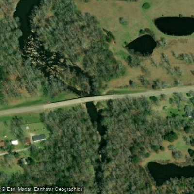
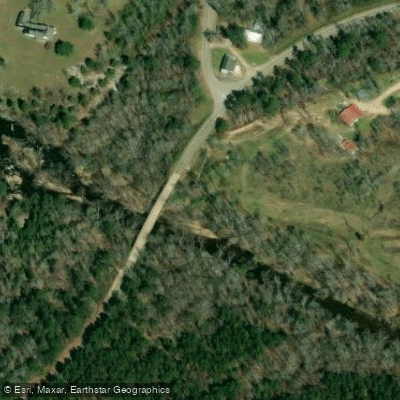
Learn how to get on Ogeechee River. Uncover great paddling access points, boat ramps, and all the facilities you need for an unforgettable day on the water. Some locations shown may border or include private property. Always check property boundaries and applicable regulations before visiting. PaddleWays's Public & Private Land layer can help you plan your access with confidence.
Paddle smarter with real-time insights
Whether you're en route and conditions shift or you're looking for the best spot based on current flows, we enable you to make informed decisions on the fly.








Find Places to Paddle

Over 400,000 Places to Paddle
Every user gets free access to launch points, boat ramps, and public property parcels.


Water and weather conditions (10 day forecast)
See the best times to paddle Ogeechee River and check the forecast before you go.
OGEECHEE RIVER AT GA 88, NEAR GRANGE, GA
All Flow Stations
Paddling near Ogeechee River

Savannah River
Altamaha River
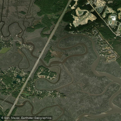
Jerico River
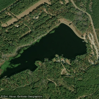
Sands Pond
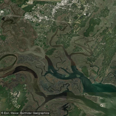
Vernon River
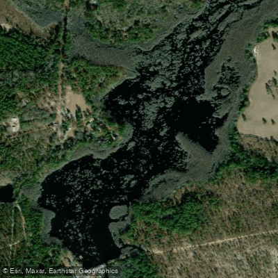
Watson Pond
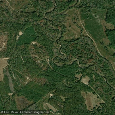
Canoochee River
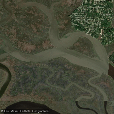
Grove River
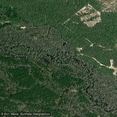
Ohoopee River
Explore Georgia waters
Top paddling waters
Popular Cities
Loading popular cities...
Explore near Ogeechee River
Access points
Nearby waters
More in Georgia

Smarter Paddling Starts in the App.
Paddleways gives you everything you need to plan smarter, paddle better, and own every trip from first launch to takeout.