J. Strom Thurmond Reservoir
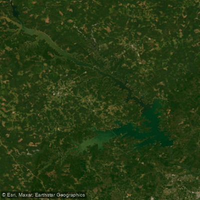
J. Strom Thurmond Reservoir
- Boat Ramps
- 67
- Access Points
- 74
- Campsites
- 11
J. Strom Thurmond Reservoir, also known as Clarks Hill Lake, is a massive 71,000-acre artificial lake straddling the Georgia-South Carolina border. With 1,200 miles of shoreline, it offers paddlers an expansive playground to explore. The lake's surface area and numerous islands provide ample opportunities for day trips and longer excursions.
Canoeing and kayaking are popular activities, allowing paddlers to discover hidden coves and inlets. The lake's size means conditions can vary, so paddlers should be prepared for potentially choppy waters, especially in open areas. Over 250 islands dot the lake, offering interesting destinations and potential campsites.
Fish attractors, including submerged Christmas trees, have been placed throughout the lake to improve habitat. These areas can provide interesting paddling destinations and opportunities to observe fish. Paddlers may encounter various wildlife, including numerous fish species like largemouth bass, crappie, and striped bass.
The lake experiences thermal stratification from late spring to early fall, which affects fish distribution. Surface waters are warmest during this time, while deeper areas remain cooler. This can impact the paddling experience, as fish and other aquatic life may be found at different depths throughout the seasons.
Several state parks border the lake, including Mistletoe State Park in Georgia and Baker Creek, Hamilton Branch, and Hickory Knob in South Carolina. These parks may offer additional amenities and access points for paddlers. The surrounding landscape features woodland areas and rolling hills, providing scenic views.
Paddlers should be aware that the lake serves multiple purposes, including hydroelectric power generation, which can affect water levels and currents. Always check local regulations and conditions before embarking on a paddling trip. The U.S. Army Corps of Engineers manages the lake and can provide up-to-date information on conditions and any restrictions.
Water access, boat ramps & amenities
Learn how to get on J. Strom Thurmond Reservoir. Uncover great paddling access points, boat ramps, and all the facilities you need for an unforgettable day on the water. Some locations shown may border or include private property. Always check property boundaries and applicable regulations before visiting. PaddleWays's Public & Private Land layer can help you plan your access with confidence.
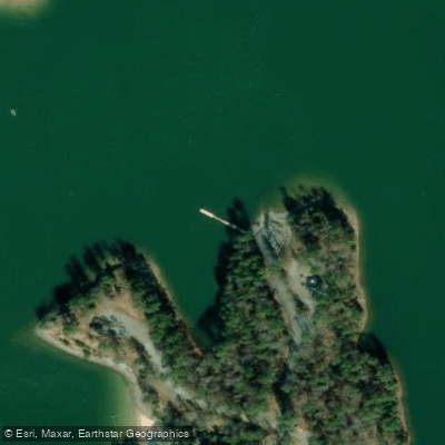
Clarks Hill Recreation Area Access
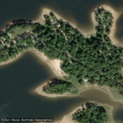
Windfield Campground Access
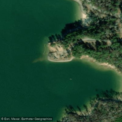
Clarks Hill Recreation Area Access
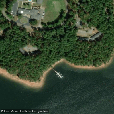
Hickory Knob State Park Bank Access
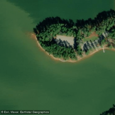
Hamilton Branch State Park Access
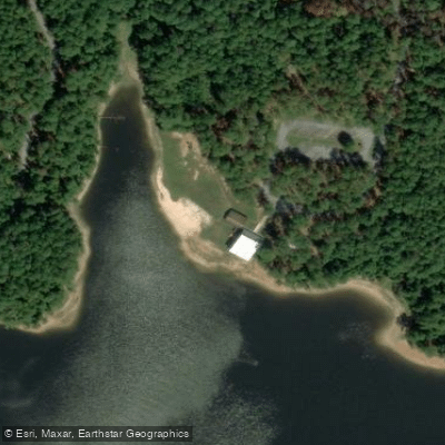
Bakers Creek State Park Bank Access
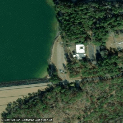
Lake Thurmond Overlook Access
Paddle smarter with real-time insights
Whether you're en route and conditions shift or you're looking for the best spot based on current flows, we enable you to make informed decisions on the fly.








Find Places to Paddle

Over 400,000 Places to Paddle
Every user gets free access to launch points, boat ramps, and public property parcels.


Water and weather conditions (10 day forecast)
See the best times to paddle J. Strom Thurmond Reservoir and check the forecast before you go.
THURMOND LAKE NEAR PLUM BRANCH, SC
Paddling near J. Strom Thurmond Reservoir

Savannah River
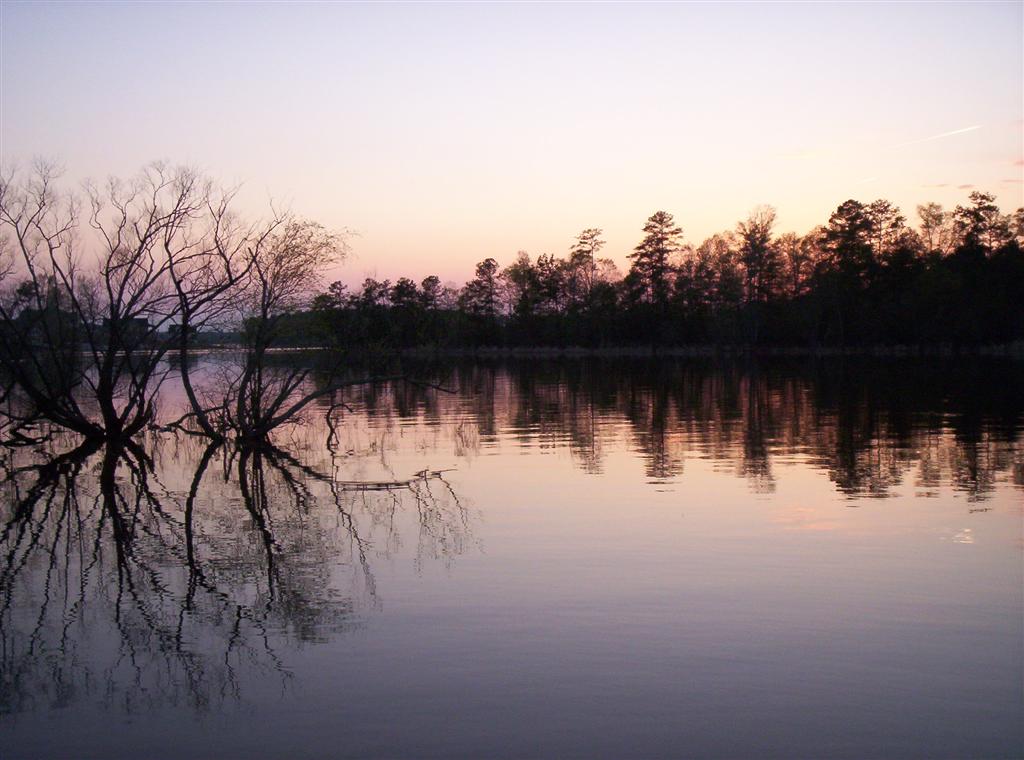
Lake Murray

Saluda River
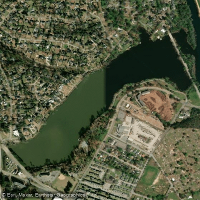
Lake Olmstead
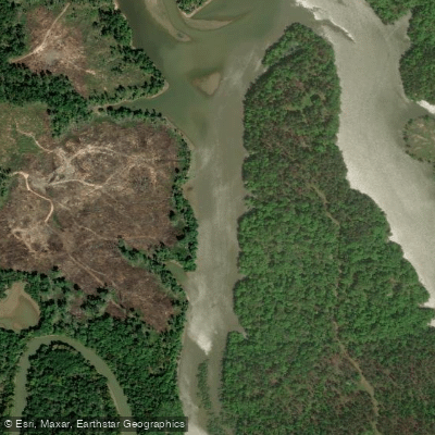
Little River
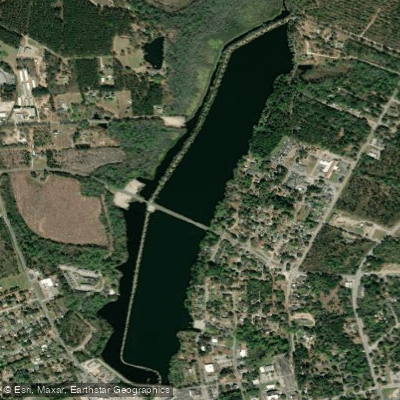
Edgar A Brown Lake
South Fork Edisto River
Lake Greenwood
Brier Creek
Explore Georgia waters
Top paddling waters
Popular Cities
Loading popular cities...
Explore near J. Strom Thurmond Reservoir
Access points
- Clarks Hill Marina Boat Ramp
- Fishing Creek Ramp
- Petersburg Campground Boat Ramp
- Savannah Lakes Marina
- Raysville Campground Boat Ramp
- Hester Ferry Campground
- Leroys Ferry Boat Ramp
- Bobby Brown State Park Day Use Boat Ramp
- Double Branches Ramp
- Parksville Boat Ramp
- Gill Point RA Boat Ramp
- Murry Creek Campground
- All 152 spots
Nearby waters
More in Georgia

Smarter Paddling Starts in the App.
Paddleways gives you everything you need to plan smarter, paddle better, and own every trip from first launch to takeout.