Curated by PaddleWays
RouteClass III–V
- Distance
- 10.9 mi
- Paddle time
- ~2.5 hrs
- Best for
- Kayak, raft
- Put-in → take-out
- Highway 14A Access → Whitewood Access
Technical, potentially dangerous features
Whitewood Creek, nestled in the heart of South Dakota's Black Hills, offers a thrilling whitewater experience for expert paddlers seeking an adrenaline rush. This hidden gem flows through Lawrence County, carving its way through the rugged and scenic landscape that characterizes this region.
The primary paddling section on Whitewood Creek runs from Highway 14A to the town of Whitewood, covering a challenging 8-mile stretch. This run, also known locally as "Tin Lizzies to Whitewood," is classified as a Class III+(V+) whitewater, indicating its technical nature and potential for extremely difficult rapids. The creek's difficulty makes it suitable only for highly skilled kayakers and rafters with extensive whitewater experience.
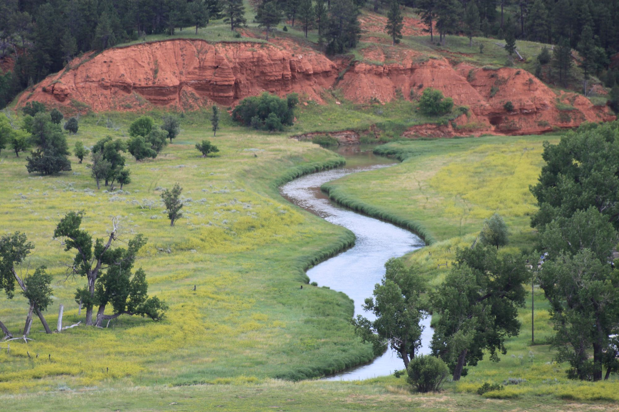
As paddlers navigate this intense section, they're treated to breathtaking views of the Black Hills, with towering pines and dramatic rock formations lining the banks. The creek's character changes rapidly, presenting a series of technical rapids that demand precise maneuvering and quick decision-making. Scouting is essential on this run, as some features can be potentially dangerous and may require portaging depending on water levels.
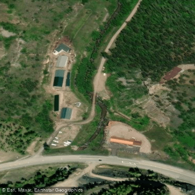
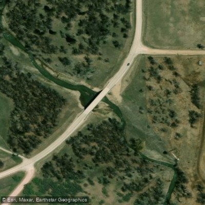
The put-in at Highway 14A is easily accessible from nearby Spearfish, making it a convenient starting point for local paddlers and visitors alike. The take-out in Whitewood provides a welcome finish to this exhilarating journey.
Due to its challenging nature, Whitewood Creek is best paddled during the spring snowmelt or after significant rainfall events. Water levels can fluctuate rapidly, so it's crucial to check current conditions and forecasts before attempting a run. The creek may not be suitable for paddling during dry years unless there's substantial precipitation.
Safety is paramount on Whitewood Creek. Paddlers should wear appropriate safety gear, including helmets and life jackets, and be prepared for self-rescue situations. It's advisable to paddle with experienced groups familiar with the creek's unique characteristics.
While multi-day trips are not common on this relatively short section, the surrounding Black Hills area offers numerous outdoor recreation opportunities. Paddlers can combine their Whitewood Creek adventure with hiking, mountain biking, or exploring nearby attractions like Deadwood's historic downtown.
Whitewood Creek's challenging whitewater and stunning scenery make it a prized destination for experienced paddlers looking to test their skills in a beautiful, natural setting. However, its difficulty level means it's not suitable for casual or inexperienced paddlers, who should seek out gentler alternatives in the region.
Curated routes
Hand-picked by the PaddleWays team, with put-ins, take-outs, paddle times and the hazards along the way.
RouteClass III–V
Hazards
No hazards are marked on Whitewood Creek yet. That is not the same as none being there: if you find one, report it for the next paddler.
From the community
Nobody has shared a trip on Whitewood Creek yet. Paddle it, then tell the next paddler how it went.
See exactly where the public can get on and off the river. Launch points and boat ramps are paired with PaddleWays' public land data so you know where you can legally land.
Public shoreline
14%of the river's shoreline is public
Most of the riverbank is private. Launch, land and camp only at public access points.
Flows, weather and a route-by-route verdict, so you know which stretch of the Whitewood Creek is worth paddling today.
All Flow Stations
Live flows, marked hazards and fresh trip reports from paddlers who were just on the water, all in one place.





Every user gets free access to launch points, boat ramps, and public property parcels.
Loading popular cities...
PaddleWays gives you everything you need to plan smarter, paddle better, and own every trip from first launch to takeout.