Curated by PaddleWays
RouteFlatwater
- Distance
- 8.1 mi
- Paddle time
- 4–5.5 hrs
- Best for
- Kayak, canoe
- Put-in → take-out
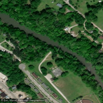
- Pepper Branch Park Boat Ramp → VFW Boat Ramp
Barren Fork flows through Warren County, Tennessee as a 23.4-mile tributary of the Collins River, forming a central recreational corridor through McMinnville and the surrounding area. The river originates in western Warren County near the community of Trousdale, where its north and south prongs converge, then flows generally west to east until reaching McMinnville. At the city, it turns northeasterly before joining the Collins River approximately five linear miles downstream, though the meandering course extends considerably longer. The river's character transitions from the Cumberland Plateau's edge through the Highland Rim, creating varied paddling conditions.
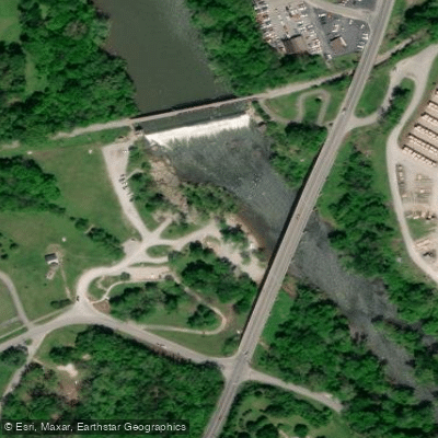
Near downtown McMinnville, a historic dam once used for municipal electric power creates a notable landmark, though it has been supplanted by TVA operations. The Barren Fork moves through a landscape that early settlers called "the Barrens"—an area of Middle Tennessee characterized by swampy conditions and limited hardwood growth, possibly maintained historically by Native American land management practices.
Paddling opportunities center on three primary sections accessible from McMinnville. The McMinnville Greenway offers a short 1.2-mile beginner-friendly float from Riverfront Park to Pepper Branch Park, ideal for families and novice paddlers seeking a brief introduction. The most popular intermediate route runs 6 miles from Smooth Rapids to the Old VFW Bridge, typically requiring 4-5 hours. The longest option extends 8 miles from Pepper Branch Park to the VFW Bridge, providing 5.5 hours of river time for those seeking a full-day experience. All sections feature Class I conditions with gentle currents suitable for beginners, though water levels fluctuate seasonally.
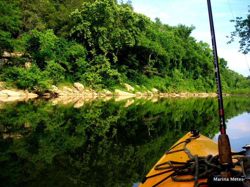
The Barren Fork supports diverse aquatic life, including the endangered Barrens topminnow found in only a few Tennessee waterways. Paddlers commonly observe great blue herons, turtles sunning on logs, beavers, and various fish species including smallmouth bass and catfish. Rocky outcroppings, undercut banks, and scattered waterfalls punctuate the forested shoreline.
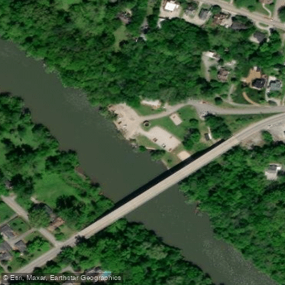
Access points include Riverfront Park (120 Riverfront Park Street), Pepper Branch Park, Smooth Rapids Outfitters (245 Durham Street), and the Old VFW Bridge area. The Barren Fork Greenway provides paved walking and biking connections between several access points, with plans for expansion to create a comprehensive linear park system through McMinnville.
Summer months from May through Labor Day offer optimal paddling conditions, though the river remains accessible year-round. Water levels vary significantly, with spring typically providing higher flows. Paddlers should remain aware of the dam's location and respect posted warnings, as currents near such structures can be hazardous. The river occasionally experiences rapid flooding during heavy rainfall events.
Curated routes
Hand-picked by the PaddleWays team, with put-ins, take-outs, paddle times and the hazards along the way.
RouteFlatwater
Hazards
No paddler has reported a hazard here yet, so these are the dams, falls and big rapids on our map. Hazards change with flows and storms, so check them before you launch.
From the community
Real trips from PaddleWays paddlers: which route they ran, how the flows were, and what to watch for.
Loading trip reports
A E.
Pepper Branch to VFW-Collins River• 130 cfs at Mcminnville
Rocket Park Boat Ramp to VFW Boat Ramp
PaddleWays paddler
Pepper Branch to VFW-Collins River• 250 cfs at Mcminnville
Rocket Park Boat Ramp to VFW Boat Ramp
See exactly where the public can get on and off the river. Launch points and boat ramps are paired with PaddleWays' public land data so you know where you can legally land.
Public shoreline
1%of the river's shoreline is public
Most of the riverbank is private. Launch, land and camp only at public access points.
Flows, weather and a route-by-route verdict, so you know which stretch of the Barren Fork is worth paddling today.
No forecast data available.
Live flows, marked hazards and fresh trip reports from paddlers who were just on the water, all in one place.





Every user gets free access to launch points, boat ramps, and public property parcels.
Loading popular cities...
PaddleWays gives you everything you need to plan smarter, paddle better, and own every trip from first launch to takeout.