Nickajack Lake
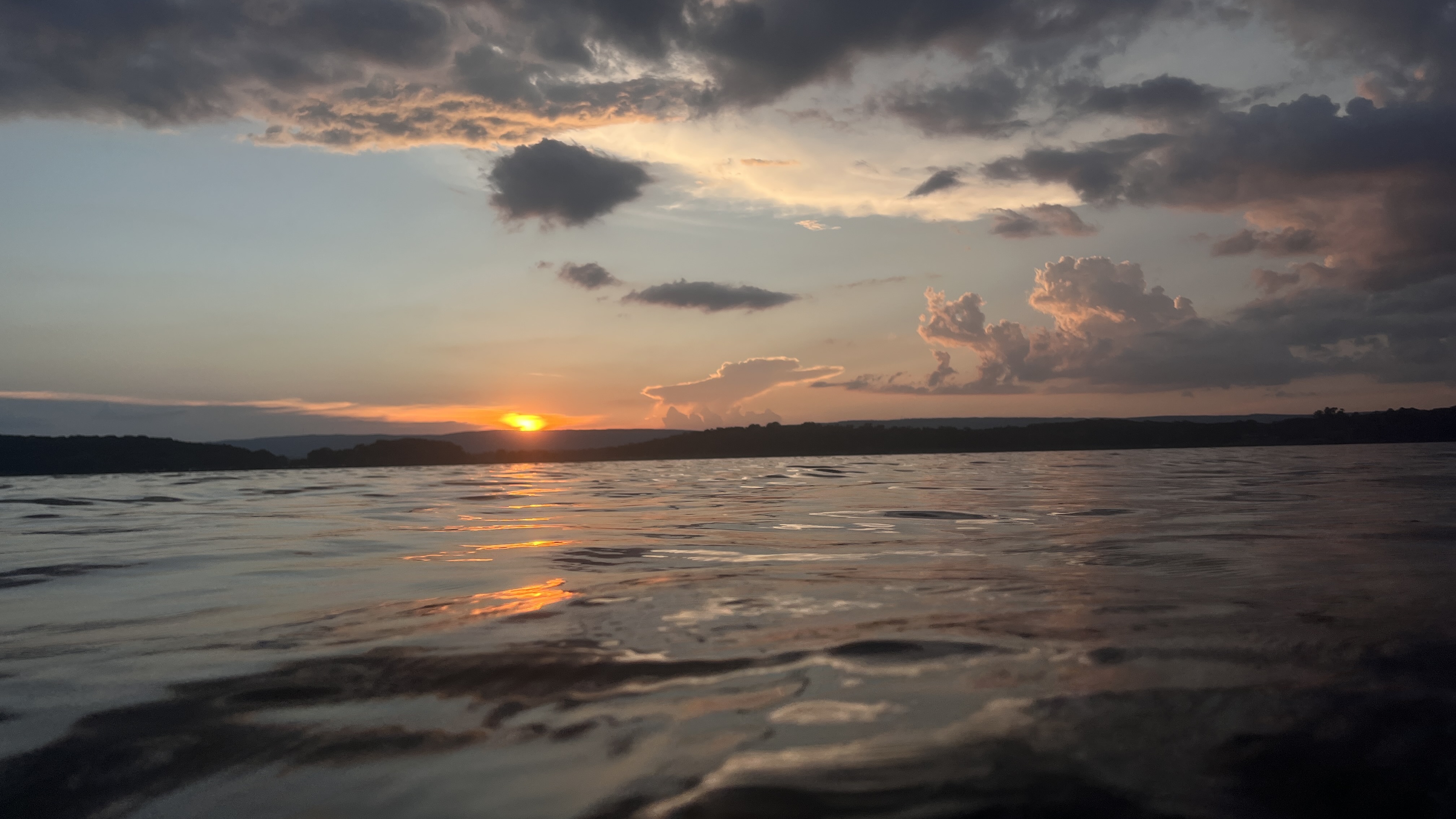
Nickajack Lake
- Boat Ramps
- 8
- Access Points
- 11
- Campsites
- 3
Nickajack Lake in Tennessee offers paddlers a scenic reservoir experience with opportunities for wildlife viewing and historical exploration. The lake covers 10,900 acres and is part of the Tennessee River system. Access points include the Shellmound Campground boat ramp on the north side and the Maple View Public Use Area boat ramp on the south side.
A popular paddling destination is Nickajack Cave, located about 2 miles from Shellmound Campground. The partially flooded cave houses a large colony of endangered gray bats, best viewed at sunset from late April to early October when an estimated 100,000 bats emerge to feed. Paddlers can explore the cave entrance by canoe or kayak, but should be mindful of the sensitive bat habitat.
The lake's undeveloped shoreline provides a natural setting for paddling, with upland hardwoods and pines lining the banks. Wildlife sightings may include osprey, river otters, and occasionally bald eagles. The surrounding area marks the beginning of the Tennessee River Gorge, often called the "Grand Canyon of Tennessee".
Paddlers should be aware of potential hazards like boat traffic and changing weather conditions. During one reported trip, paddlers had to seek shelter due to an active lightning storm. The lake is also used for commercial barge traffic.
Amenities for paddlers include campgrounds, swimming areas, and boat ramps at locations like Shellmound and Maple View. Some areas offer bathhouses and picnic facilities. Fishing is popular, with species like bass, crappie, and catfish present.
The best time for paddling is generally late spring through early fall. Water activities are most enjoyable from late April to early October, coinciding with the bat viewing season. Paddlers interested in Nickajack's history can research its past as a Cherokee settlement and its role during the Civil War, though much of this history now lies underwater due to the dam's construction in 1967.
Water access, boat ramps & amenities
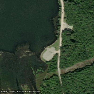
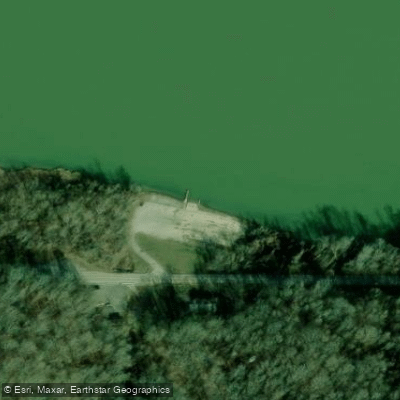
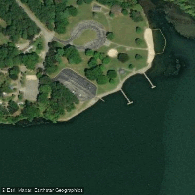
Learn how to get on Nickajack Lake. Uncover great paddling access points, boat ramps, and all the facilities you need for an unforgettable day on the water. Some locations shown may border or include private property. Always check property boundaries and applicable regulations before visiting. PaddleWays's Public & Private Land layer can help you plan your access with confidence.
Paddle smarter with real-time insights
Whether you're en route and conditions shift or you're looking for the best spot based on current flows, we enable you to make informed decisions on the fly.








Find Places to Paddle

Over 400,000 Places to Paddle
Every user gets free access to launch points, boat ramps, and public property parcels.


Water and weather conditions (10 day forecast)
See the best times to paddle Nickajack Lake and check the forecast before you go.
No forecast data available.
Paddling near Nickajack Lake

Tennessee River
Collins River
Watts Bar Lake
Ocoee River
Tims Ford Lake
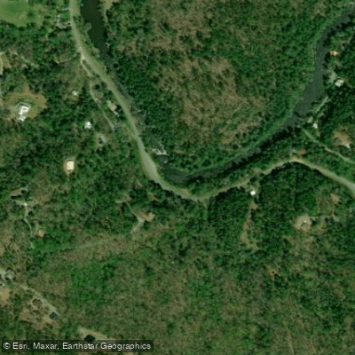
Toccoa River
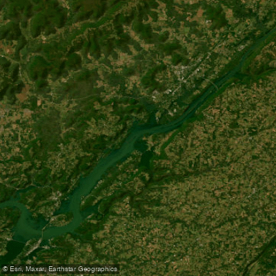
Guntersville Lake
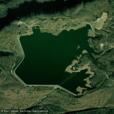
Raccoon Mountain Pumped Storage Dam and Reservoir
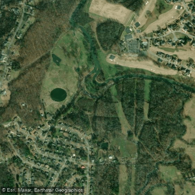
South Chickamauga Creek
Explore Tennessee waters
Top paddling waters
Popular Cities
Loading popular cities...
Explore near Nickajack Lake
Access points
Nearby waters
More in Tennessee

Smarter Paddling Starts in the App.
Paddleways gives you everything you need to plan smarter, paddle better, and own every trip from first launch to takeout.