South Chickamauga Creek
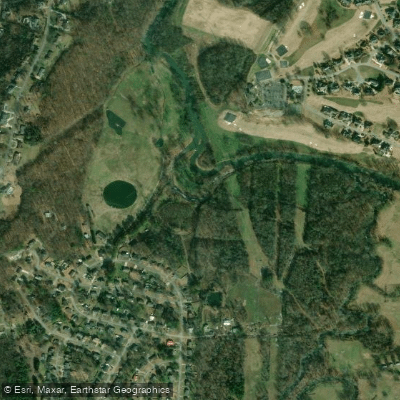
South Chickamauga Creek
- Boat Ramps
- 3
- Access Points
- 6
- Campsites
- 0
South Chickamauga Creek originates in northwest Georgia and flows northward into Tennessee, joining the Tennessee River in Chattanooga. This 32-mile waterway drains portions of Catoosa County, Georgia and Hamilton County, Tennessee, forming a significant tributary of the Tennessee River watershed. The creek offers diverse paddling experiences, from peaceful flatwater sections to mild Class I-II rapids.
The journey begins at the Dragging Canoe Memorial Launch in Ringgold, Georgia, winding through rural landscapes before entering the urban environs of East Chattanooga. Multiple access points along its course, including Camp Jordan, Riverpoint, and Shallowford Road, allow for trips of varying lengths.
South Chickamauga Creek is suitable for novice to intermediate paddlers, with mostly flatwater punctuated by occasional mild rapids. The creek's difficulty increases slightly after heavy rains, but generally remains manageable for those with basic paddling skills.
Spring and fall offer ideal paddling conditions, with comfortable temperatures and adequate water levels. Summer paddling is popular but can be impacted by low water in drier years. Winter trips are possible for properly equipped paddlers during milder weather windows.
The creek corridor hosts a rich riparian ecosystem. Paddlers may encounter great blue herons, kingfishers, and various waterfowl. The shoreline vegetation transitions from rural woodlands to urban greenways as the creek approaches Chattanooga.
Notable landmarks include the historic Lee and Gordon's Mill near Chickamauga, Georgia, and the expansive Camp Jordan Park in East Ridge, Tennessee. The creek passes through Audubon Acres, a wildlife sanctuary offering additional paddling and nature observation opportunities.
For multi-day adventures, paddlers can tackle the full 32-mile journey from Ringgold to the Tennessee River, with potential campsites along the less developed upper sections. However, most trips are day excursions, taking advantage of the numerous access points in the Chattanooga area.
The creek holds historical significance as a transportation route for Native Americans and early settlers. Today, it serves as a vital recreational resource for the region, with the South Chickamauga Creek Greenway paralleling much of its lower course.
Paddlers should be aware of occasional strainers and low-head dams, particularly after high water events. As the creek passes through urban areas, water quality can be impacted by runoff. All users should practice Leave No Trace principles and be respectful of private property along the shoreline.
Water access, boat ramps & amenities
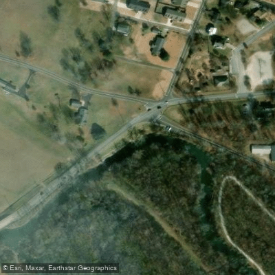
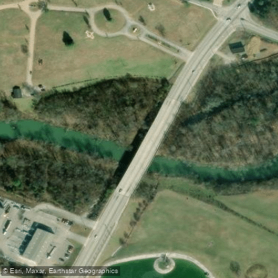
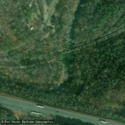
Learn how to get on South Chickamauga Creek. Uncover great paddling access points, boat ramps, and all the facilities you need for an unforgettable day on the water. Some locations shown may border or include private property. Always check property boundaries and applicable regulations before visiting. PaddleWays's Public & Private Land layer can help you plan your access with confidence.
Paddle smarter with real-time insights
Whether you're en route and conditions shift or you're looking for the best spot based on current flows, we enable you to make informed decisions on the fly.








Find Places to Paddle

Over 400,000 Places to Paddle
Every user gets free access to launch points, boat ramps, and public property parcels.


Water and weather conditions (10 day forecast)
See the best times to paddle South Chickamauga Creek and check the forecast before you go.
SOUTH CHICKAMAUGA CREEK NEAR CHICKAMAUGA, TN
All Flow Stations
Paddling near South Chickamauga Creek

Tennessee River
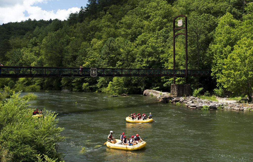
Ocoee River
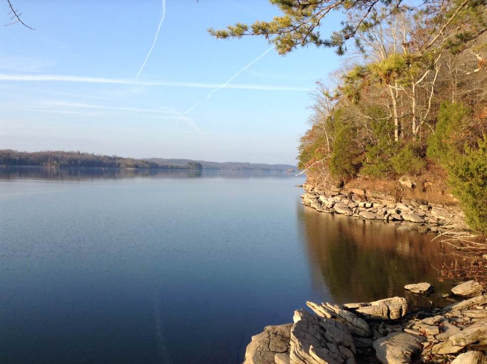
Watts Bar Lake
Collins River
Toccoa River
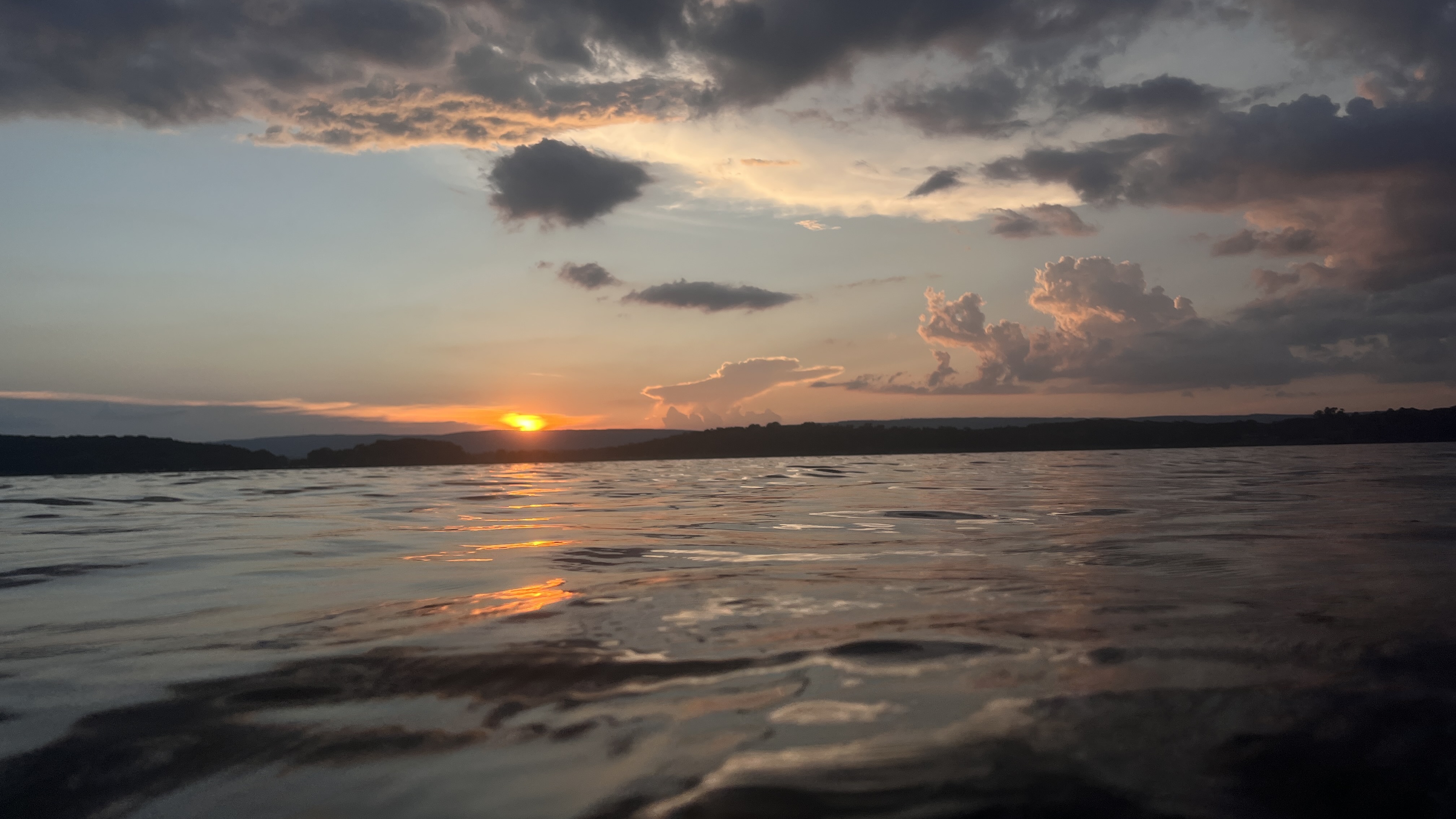
Nickajack Lake
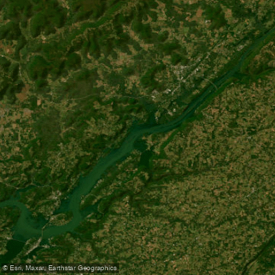
Guntersville Lake
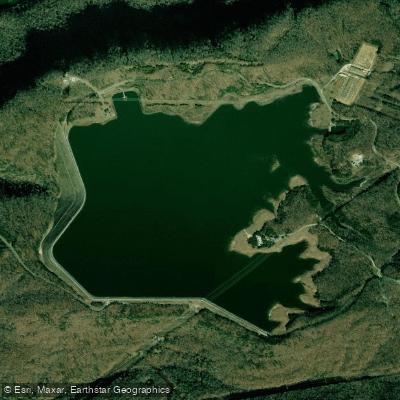
Raccoon Mountain Pumped Storage Dam and Reservoir
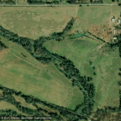
West Chickamauga Creek
Explore Georgia waters
Top paddling waters
Popular Cities
Loading popular cities...
Explore near South Chickamauga Creek
Access points
- Camp Jordan (South Chick) Boat Ramp
- Ringgold Recreational Complex (South Chick Creek) Boat Ramp
- Sterchi Farm Kayak Ramp (South Chickamauga Creek)
- South Chickamauga Creek Access
- Shallowford Road Access
- Nature Trail Access
- South Chickamauga Creek Bridge
- South Chickamauga Creek Bridge
- Little Chickamauga Creek Bridge
- Cherokee Branch Bridge
- Peavine Creek Bridge
- South Chickamauga Creek Bridge
- All 43 spots
Nearby waters
More in Georgia

Smarter Paddling Starts in the App.
Paddleways gives you everything you need to plan smarter, paddle better, and own every trip from first launch to takeout.