Lake Striker
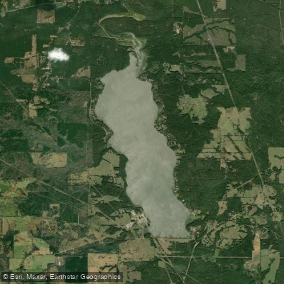
Lake Striker
- Boat Ramps
- 2
- Access Points
- 2
- Campsites
- 0
Lake Striker is a 1,863-acre reservoir located in East Texas, approximately 20 miles east of Jacksonville and 18 miles southwest of Henderson. The lake was impounded in 1957 and features a maximum depth of 35 feet. Its normal pool elevation is 292.93 feet above sea level, with annual variations of 1-2 feet.
The lake offers diverse paddling opportunities, with standing timber, boat docks, and lily pads creating interesting habitat areas to explore. Game fish are typically found around brush, points, boat docks, and creek channels, making it an attractive destination for anglers. The lake's relatively small size compared to other nearby reservoirs may provide calmer waters suitable for paddling, especially for beginners.
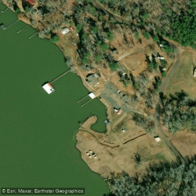
Access to Lake Striker is primarily through the Lake Striker Resort on the east side of the lake. The resort features a marina with a boat launch, which paddlers can utilize. A covered fishing pier is also available. The west shore can be accessed via FM 3288 and other local roads.
Paddlers should be aware that Lake Striker is also used for industrial purposes, with a power plant operated by Luminant Energy on the western shore. This may impact the aesthetic experience in some areas of the lake.
The local terrain around Lake Striker is flat to rolling, surfaced by sandy and clay loams that support water-tolerant hardwoods, conifers, and grasses. This diverse ecosystem provides opportunities for wildlife viewing while paddling.
Lake Striker derives its name from Striker Town, a historic Cherokee Indian village located just west of the present-day lake, adding cultural interest to the paddling experience.
While specific paddling regulations are not mentioned, it's noted that waterfowl hunting is only allowed from the waters of the lake and prohibited from the shoreline, which paddlers should keep in mind during hunting seasons.
Water access, boat ramps & amenities
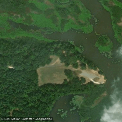
Learn how to get on Lake Striker. Uncover great paddling access points, boat ramps, and all the facilities you need for an unforgettable day on the water. Some locations shown may border or include private property. Always check property boundaries and applicable regulations before visiting. PaddleWays's Public & Private Land layer can help you plan your access with confidence.
Paddle smarter with real-time insights
Whether you're en route and conditions shift or you're looking for the best spot based on current flows, we enable you to make informed decisions on the fly.








Find Places to Paddle

Over 400,000 Places to Paddle
Every user gets free access to launch points, boat ramps, and public property parcels.


Water and weather conditions (10 day forecast)
See the best times to paddle Lake Striker and check the forecast before you go.
No forecast data available.
Paddling near Lake Striker
Lake Palestine
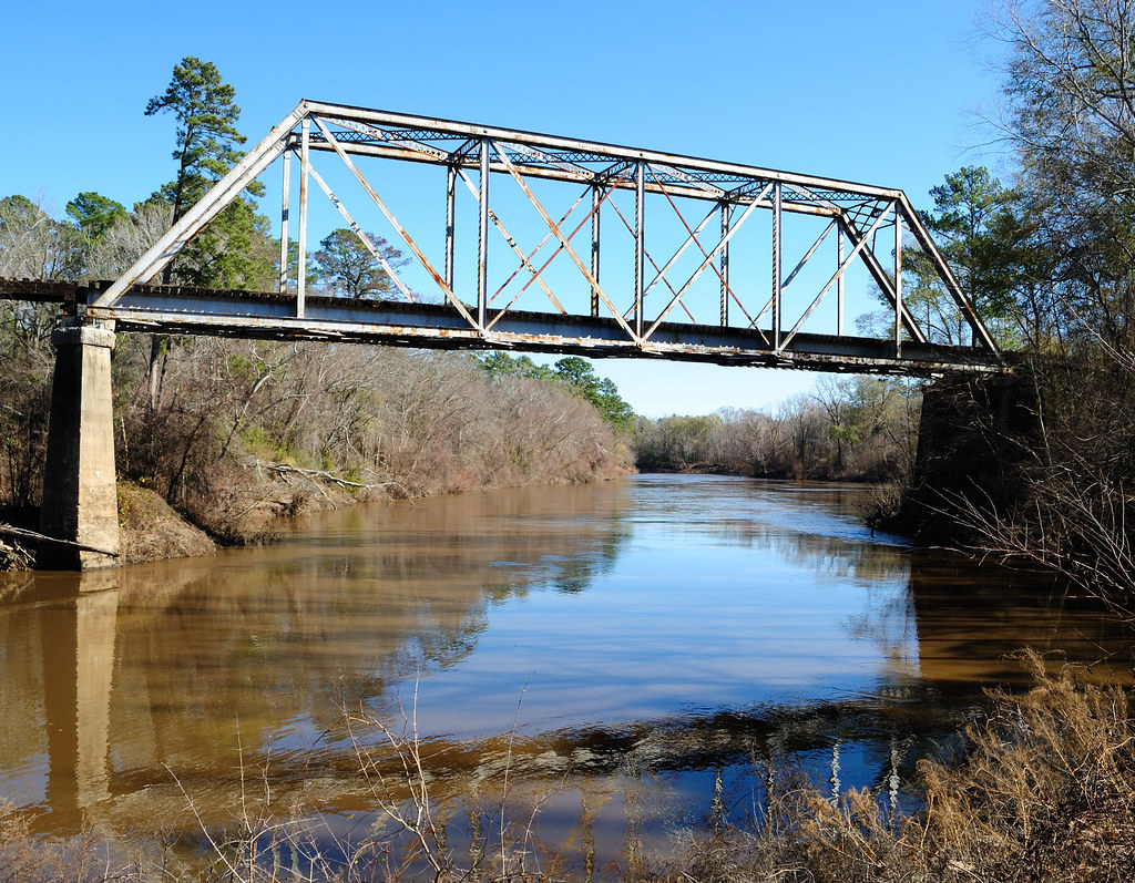
Neches River
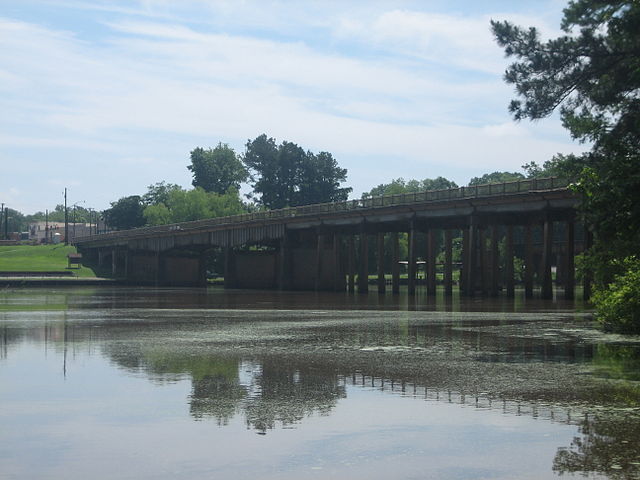
Sabine River
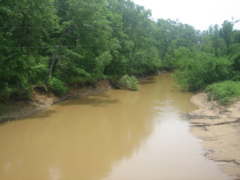
Angelina River
Lake Tawakoni
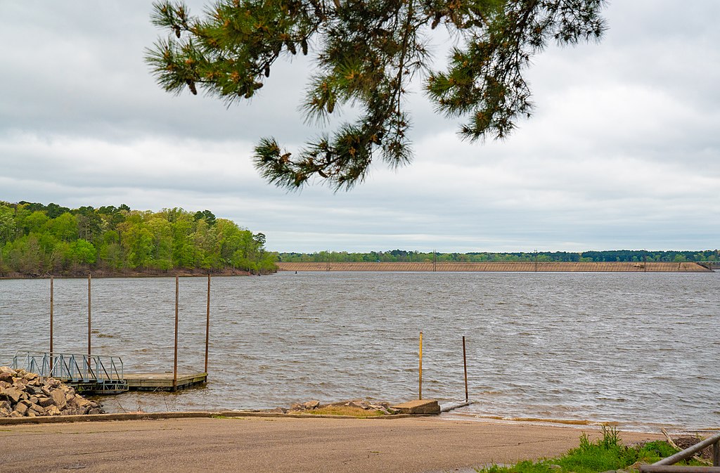
Lake O' the Pines

Trinity River
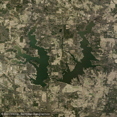
Lake Tyler
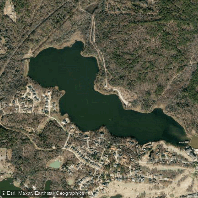
Bellwood Lake
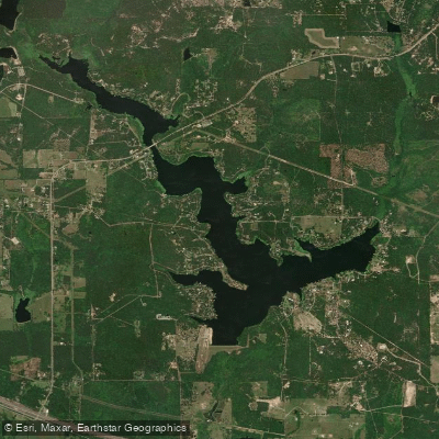
Lake Hawkins
Explore Texas waters
Top paddling waters
Popular Cities
Loading popular cities...
Explore near Lake Striker

Smarter Paddling Starts in the App.
Paddleways gives you everything you need to plan smarter, paddle better, and own every trip from first launch to takeout.