Ballinger City Lake
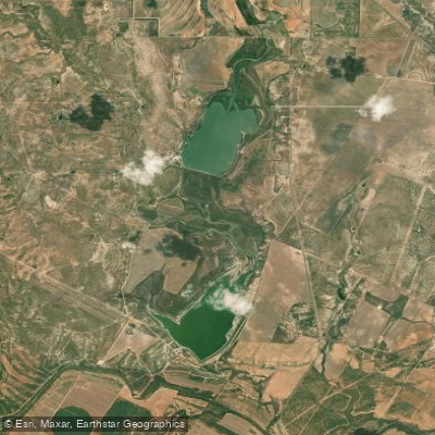
Ballinger City Lake
- Boat Ramps
- 3
- Access Points
- 3
- Campsites
- 0
Ballinger City Lake, also known as New Ballinger Lake, is a 591-acre reservoir located 10 miles west of Ballinger, Texas. Impounded in 1984, the lake has a maximum depth of 40 feet and a conservation pool elevation of 1,668 feet above mean sea level. The lake's water level can fluctuate up to 6 feet annually, and its clarity is typically stained.
The lake's structure varies, with rocky areas near the dam and gradually-sloping silt or gravel bottom in other parts. Flooded saltcedar brush provides the primary cover for fish. This diverse habitat supports several fish species, including largemouth bass, white crappie, catfish, and walleye.
Paddlers should be aware that the lake experienced a significant drought in 2011, nearly drying up completely. While it refilled in 2012, fish populations are still recovering, which may affect fishing opportunities. The lake's water quality and levels can be influenced by rainfall runoff, potentially creating temporary high flows or undesirable conditions.
For paddlers interested in fishing, largemouth bass can be found around the flooded saltcedars and rip-rap areas. White crappie inhabit the flooded saltcedars, while catfish are distributed throughout the lake. Walleye can be targeted in rocky areas.
The lake's fluctuating water levels and recovering ecosystem present unique challenges and opportunities for paddlers. While specific paddling routes are not outlined, the lake's varied structure and cover provide diverse exploration options.
Paddlers should note that all species in the lake are managed under statewide regulations. For more information or assistance, contact the City of Ballinger at (325) 365-3511.
When planning a trip, be prepared for potentially stained water and changing water levels. As with any body of water, it's crucial to check current conditions and weather forecasts before embarking on a paddling excursion.
Water access, boat ramps & amenities
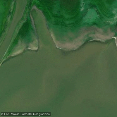
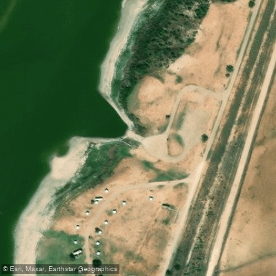
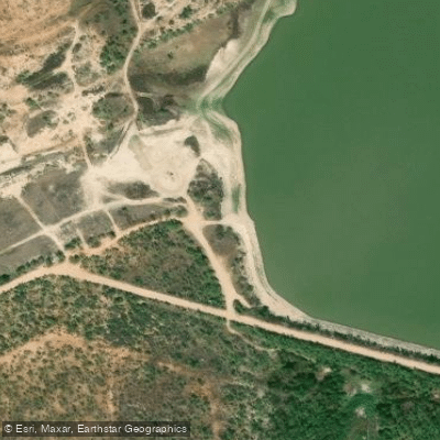
Learn how to get on Ballinger City Lake. Uncover great paddling access points, boat ramps, and all the facilities you need for an unforgettable day on the water. Some locations shown may border or include private property. Always check property boundaries and applicable regulations before visiting. PaddleWays's Public & Private Land layer can help you plan your access with confidence.
Paddle smarter with real-time insights
Whether you're en route and conditions shift or you're looking for the best spot based on current flows, we enable you to make informed decisions on the fly.








Find Places to Paddle

Over 400,000 Places to Paddle
Every user gets free access to launch points, boat ramps, and public property parcels.


Water and weather conditions (10 day forecast)
See the best times to paddle Ballinger City Lake and check the forecast before you go.
No forecast data available.
Paddling near Ballinger City Lake
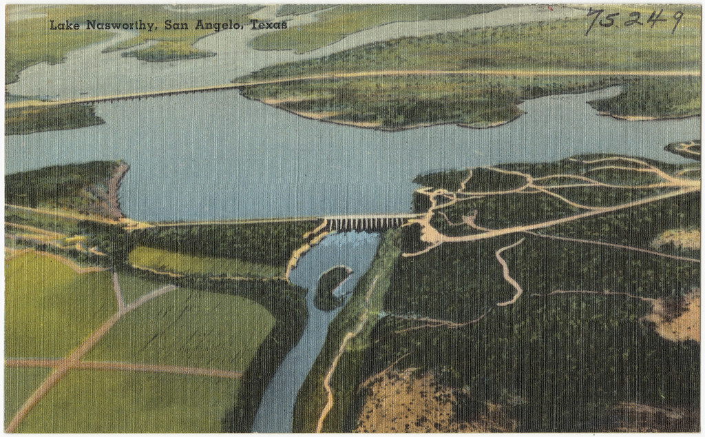
Lake Nasworthy
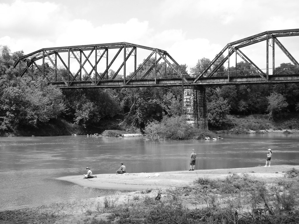
Colorado River
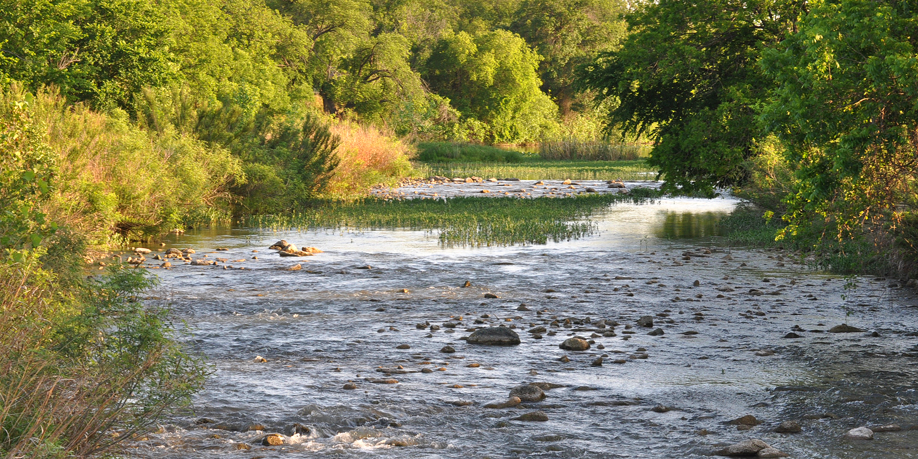
San Saba River
O C Fisher Lake
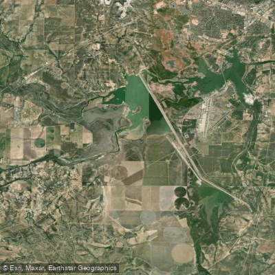
Twin Buttes Reservoir
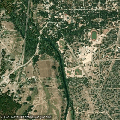
South Concho River
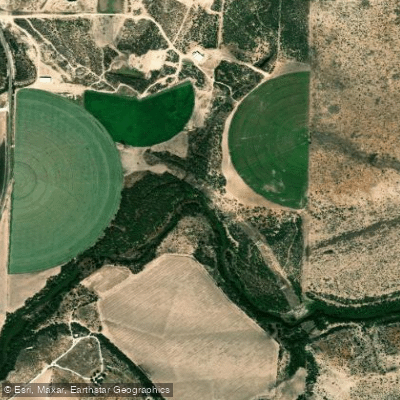
Concho River
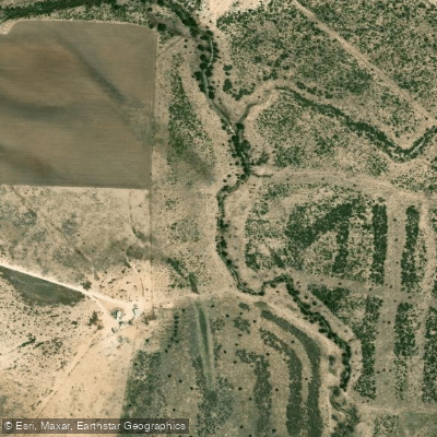
North Concho River
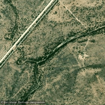
Spring Creek
Explore Texas waters
Top paddling waters
Popular Cities
Loading popular cities...
Explore near Ballinger City Lake

Smarter Paddling Starts in the App.
Paddleways gives you everything you need to plan smarter, paddle better, and own every trip from first launch to takeout.