Lake Nasworthy
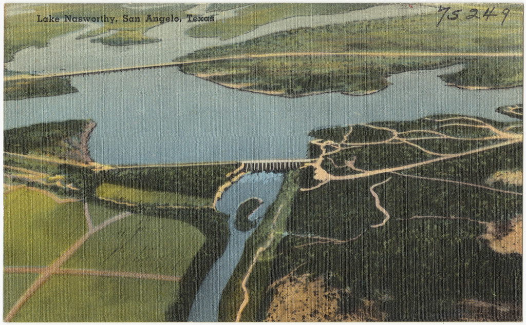
Lake Nasworthy
- Boat Ramps
- 14
- Access Points
- 14
- Campsites
- 0
Lake Nasworthy is a 1,380-acre reservoir located south of San Angelo, Texas. The lake offers excellent opportunities for paddling, with eleven public access areas providing multiple put-in and take-out options. Kayakers and canoeists will find a mix of developed shoreline with public parks and private facilities like boat clubs.
The lake's water level remains relatively stable throughout the year, making it a reliable paddling destination in all seasons. Summer is particularly popular for water activities, with swimmers and boaters sharing the lake. Paddlers should exercise caution and be aware of motorized boat traffic, especially on busy weekends.
Lake Nasworthy's shoreline features cattails and other aquatic vegetation, creating habitat for diverse wildlife. Birdwatchers may spot some of the 300+ bird species recorded in the area. The lake's slightly stained water supports a variety of fish, including largemouth bass, catfish, and crappie, making it an excellent spot for kayak fishing.
Facilities for paddlers include multiple boat ramps and designated swimming areas in some parks. Rentals for kayaks and other watercraft are available from local businesses. Primitive camping is possible along parts of the shoreline, offering opportunities for multi-day paddling trips.
The City of San Angelo is currently improving lake infrastructure, with plans to add new boat ramps and kayak launch areas at locations like Fisherman's Road, Red Bluff Circle, and Pecan Creek. These developments will further enhance access for paddlers in the coming years.
While Lake Nasworthy may not offer dramatic scenery, its accessibility, stable water levels, and mix of developed and natural areas make it a versatile destination for paddlers of all skill levels seeking a typical West Texas lake experience.
Water access, boat ramps & amenities
Learn how to get on Lake Nasworthy. Uncover great paddling access points, boat ramps, and all the facilities you need for an unforgettable day on the water. Some locations shown may border or include private property. Always check property boundaries and applicable regulations before visiting. PaddleWays's Public & Private Land layer can help you plan your access with confidence.
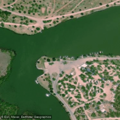
Lake Nasworthy Boat Ramp
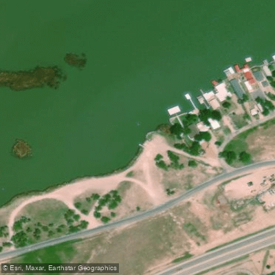
Lake Nasworthy Boat Ramp
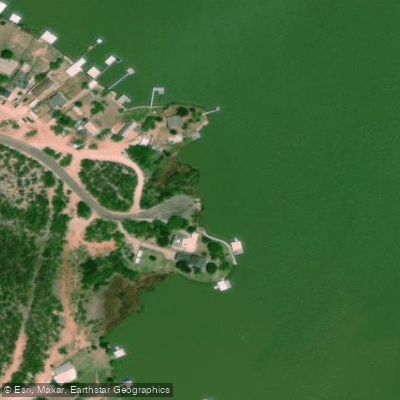
Lake Nasworthy Boat Ramp
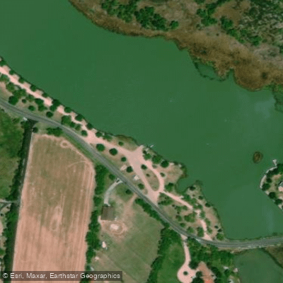
Lake Nasworthy Boat Ramp
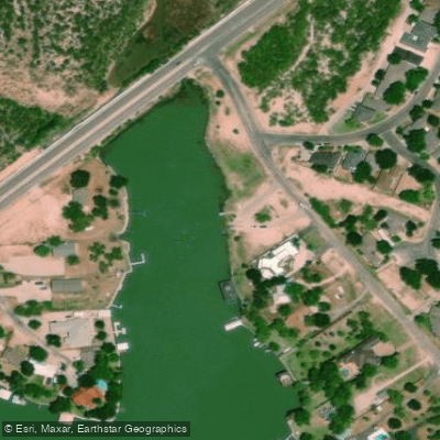
Lake Nasworthy Boat Ramp
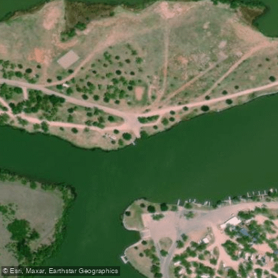
Lake Nasworthy Boat Ramp
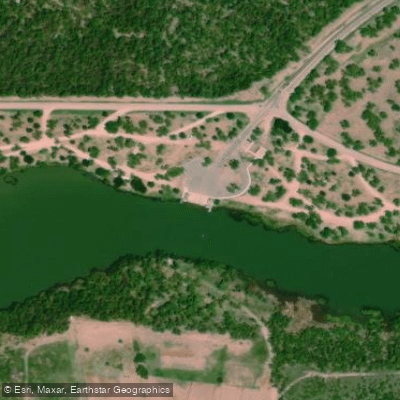
Lake Nasworthy Boat Ramp
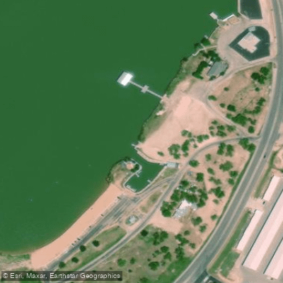
Lake Nasworthy Boat Ramp
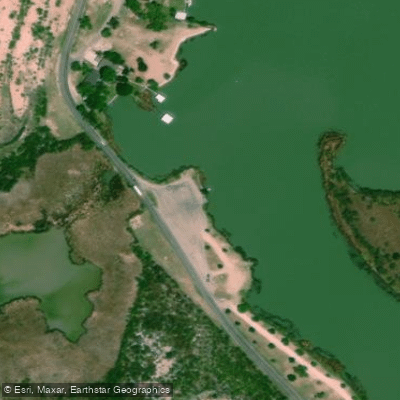
Lake Nasworthy Boat Ramp
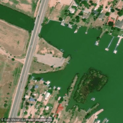
Lake Nasworthy Boat Ramp
Paddle smarter with real-time insights
Whether you're en route and conditions shift or you're looking for the best spot based on current flows, we enable you to make informed decisions on the fly.








Find Places to Paddle

Over 400,000 Places to Paddle
Every user gets free access to launch points, boat ramps, and public property parcels.


Water and weather conditions (10 day forecast)
See the best times to paddle Lake Nasworthy and check the forecast before you go.
Twin Buttes Reservoir and Dam
All Flow Stations
Paddling near Lake Nasworthy
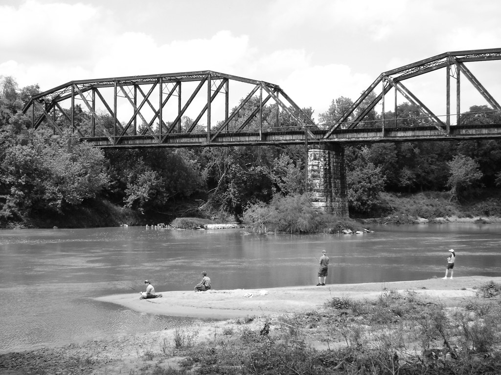
Colorado River
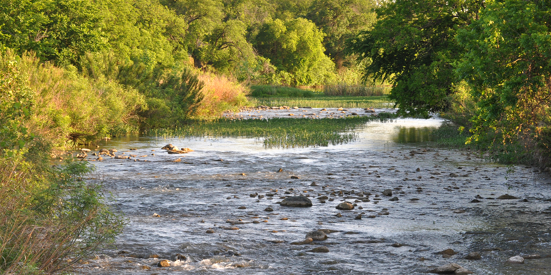
San Saba River
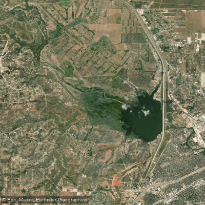
O C Fisher Lake
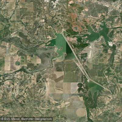
Twin Buttes Reservoir
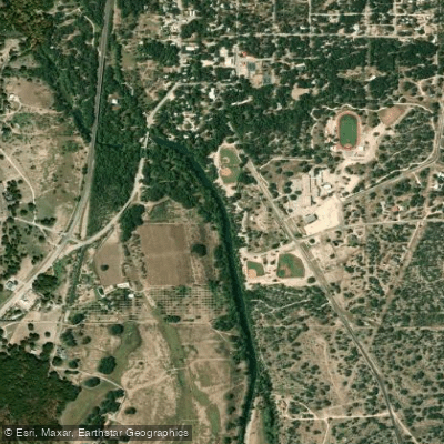
South Concho River
Concho River
North Concho River
Spring Creek
Ballinger City Lake
Explore Texas waters
Top paddling waters
Popular Cities
Loading popular cities...
Explore near Lake Nasworthy
Access points
- Lake Nasworthy Boat Ramp
- Lake Nasworthy Boat Ramp
- Lake Nasworthy Boat Ramp
- Lake Nasworthy Boat Ramp
- Lake Nasworthy Boat Ramp
- Lake Nasworthy Boat Ramp
- Lake Nasworthy Boat Ramp
- Lake Nasworthy Boat Ramp
- Lake Nasworthy Boat Ramp
- Lake Nasworthy Boat Ramp
- Lake Nasworthy Boat Ramp
- Lake Nasworthy Boat Ramp
- All 14 spots
Nearby waters
More in Texas

Smarter Paddling Starts in the App.
Paddleways gives you everything you need to plan smarter, paddle better, and own every trip from first launch to takeout.