Concho River
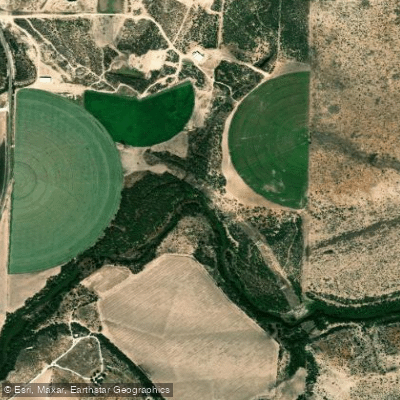
Concho River
- Boat Ramps
- 8
- Access Points
- 8
- Campsites
- 2
The Concho River is a scenic waterway in west-central Texas, originating at the confluence of its North and South Forks in San Angelo. From there, it flows eastward for approximately 55 miles before joining the Colorado River near Paint Rock. The river's watershed covers parts of Tom Green and Concho counties. Paddling opportunities on the Concho vary from urban stretches through San Angelo to more remote sections downstream.
The most popular run is the 36-mile stretch from San Angelo to Concho, rated as Class I-II and suitable for beginner to intermediate paddlers. Upstream, the North and South Forks offer occasional paddling when water is being released from local reservoirs. The river's difficulty ranges from flatwater to Class II, with most sections being relatively calm. Some basic whitewater skills are helpful for navigating occasional riffles and low-water dams. Water levels fluctuate seasonally and with releases from O.C. Fisher, Lake Nasworthy, and Twin Buttes reservoirs. Spring and fall typically offer the most reliable paddling conditions.
The Concho's banks are lined with oak trees, providing habitat for various bird species. Anglers can catch bass, catfish, and sunfish in the river's clear, spring-fed waters. A limestone cliff rising 70 feet near Paint Rock serves as a notable landmark. Key access points include South Concho Park in San Angelo, Pugh Park in Christoval, and various spots along the river's course. San Angelo serves as the primary gateway city, with smaller towns like Christoval and Paint Rock offering additional access.
Historically, the river was vital to early settlers and Native American tribes in the region. Today, it remains an important recreational resource for west Texas communities. Paddlers should be aware of two low-water dams in the upper 18 miles between San Angelo and FM 1692. Portaging may be necessary in some urban stretches due to brush growth. Always check current water levels and release schedules before paddling.
For those seeking a multi-day adventure, the full 55-mile journey from San Angelo to the Colorado River confluence offers a chance to experience the changing landscape of west Texas, though careful planning is required due to limited access points in the lower stretches.
Water access, boat ramps & amenities
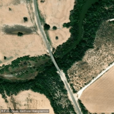
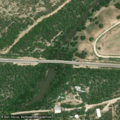
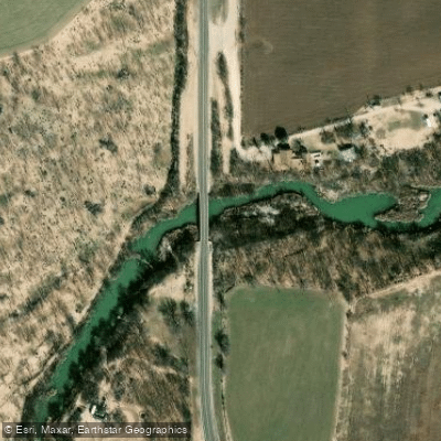
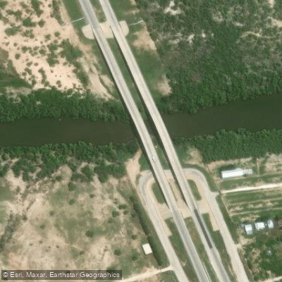
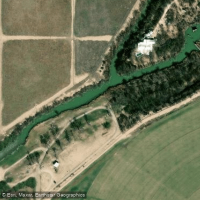
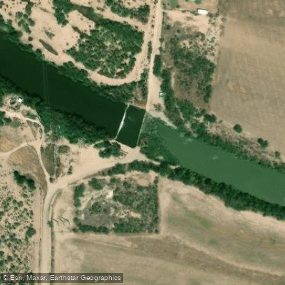
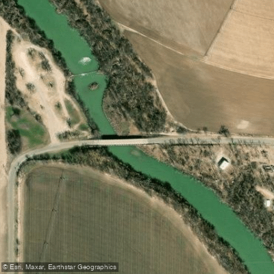
Learn how to get on Concho River. Uncover great paddling access points, boat ramps, and all the facilities you need for an unforgettable day on the water. Some locations shown may border or include private property. Always check property boundaries and applicable regulations before visiting. PaddleWays's Public & Private Land layer can help you plan your access with confidence.
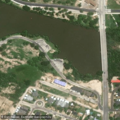
Paddle smarter with real-time insights
Whether you're en route and conditions shift or you're looking for the best spot based on current flows, we enable you to make informed decisions on the fly.








Find Places to Paddle

Over 400,000 Places to Paddle
Every user gets free access to launch points, boat ramps, and public property parcels.


Water and weather conditions (10 day forecast)
See the best times to paddle Concho River and check the forecast before you go.
Concho Rv at San Angelo, TX
All Flow Stations
Paddling near Concho River
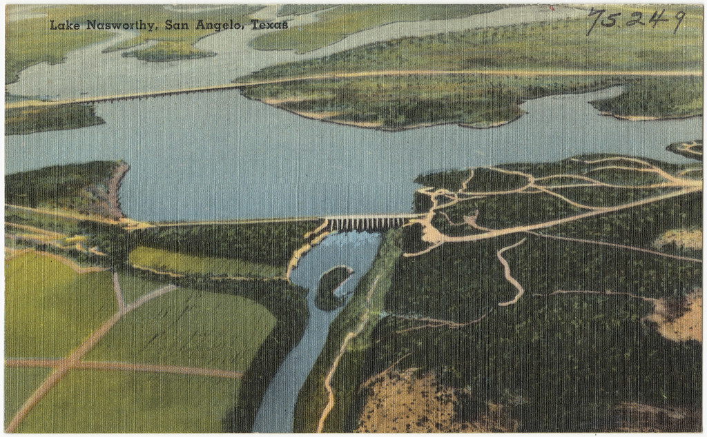
Lake Nasworthy
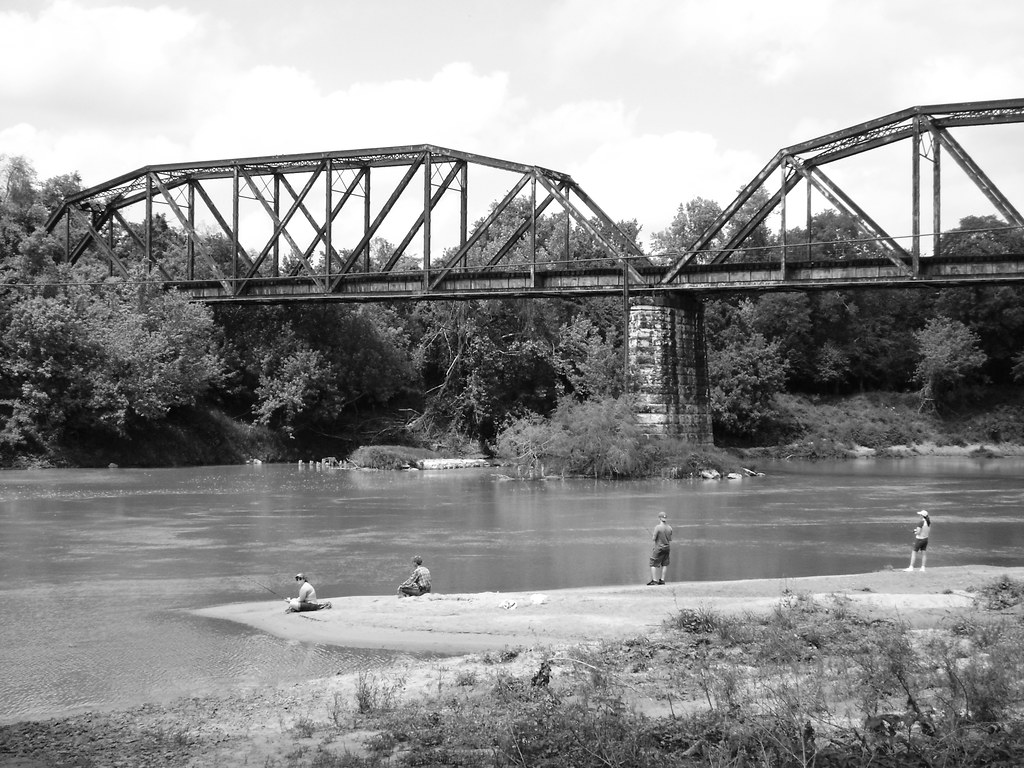
Colorado River
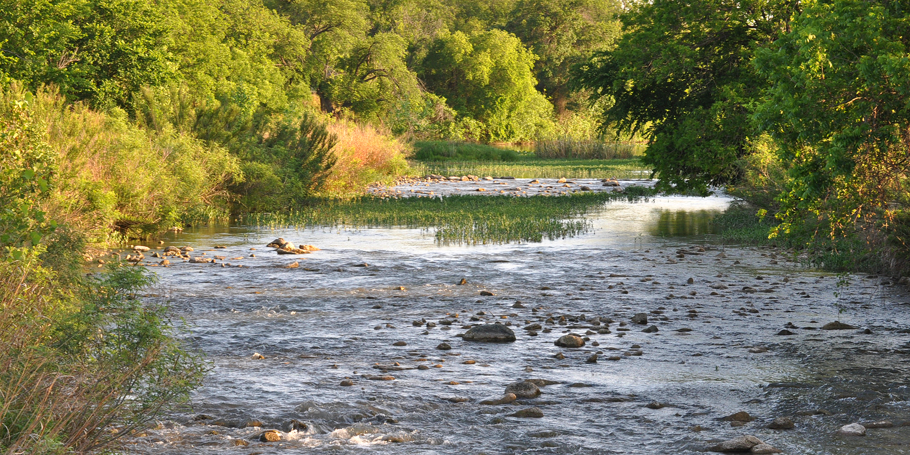
San Saba River
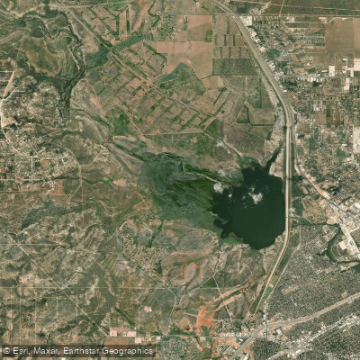
O C Fisher Lake
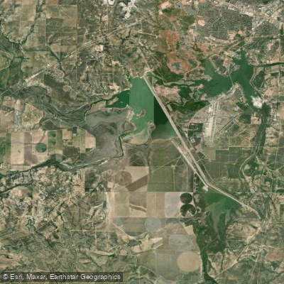
Twin Buttes Reservoir
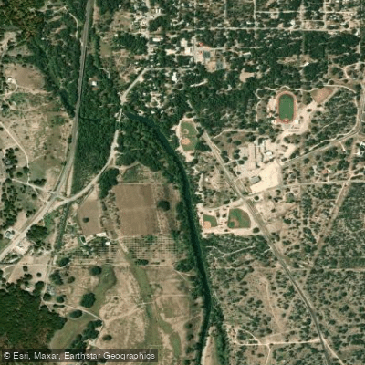
South Concho River
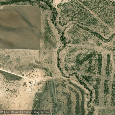
North Concho River
Spring Creek
Ballinger City Lake
Explore Texas waters
Top paddling waters
Popular Cities
Loading popular cities...
Explore near Concho River
Access points
Nearby waters
More in Texas

Smarter Paddling Starts in the App.
Paddleways gives you everything you need to plan smarter, paddle better, and own every trip from first launch to takeout.