O C Fisher Lake
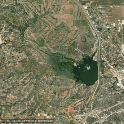
O C Fisher Lake
- Boat Ramps
- 18
- Access Points
- 18
- Campsites
- 8
O.C. Fisher Lake is a 5,440-acre reservoir located just 15 minutes west of San Angelo, Texas. The lake is accessed primarily through San Angelo State Park, which surrounds most of the shoreline and offers boat ramps, hiking trails, and various accommodation options including campsites, cabins, and lodges.
Paddlers should be aware that O.C. Fisher Lake is highly susceptible to drought conditions. The lake completely dried up in 2011 and 2013, and since 1988 has not exceeded 50% of its capacity. Water levels can fluctuate dramatically, so it's essential to check current conditions with the park before planning a trip.
When water levels permit, the lake offers opportunities for kayaking, canoeing, and fishing. Popular fish species include largemouth bass, catfish, bluegill, and crappie. The lake was restocked after recent droughts, and fish populations are recovering well.
One unique aspect of paddling O.C. Fisher Lake is the chance to observe diverse wildlife. The surrounding park is home to many bird species, as well as bison and Texas Longhorns. In fact, the park houses the Official Texas State Longhorn Herd.
Swimming is allowed in the lake, with water quality generally improving closer to the dam. However, given the lake's history of low water levels and complete drying, water quality can be variable.
Overall, O.C. Fisher Lake offers a paddling experience characterized by wide-open spaces and relatively few visitors. Its proximity to San Angelo makes it a convenient option for local paddlers, but the unpredictable water levels necessitate flexibility in trip planning.
Water access, boat ramps & amenities
Learn how to get on O C Fisher Lake. Uncover great paddling access points, boat ramps, and all the facilities you need for an unforgettable day on the water. Some locations shown may border or include private property. Always check property boundaries and applicable regulations before visiting. PaddleWays's Public & Private Land layer can help you plan your access with confidence.
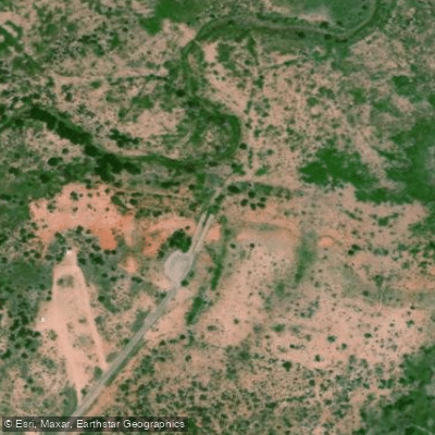
O. C. Fisher Reservoir Boat Ramp
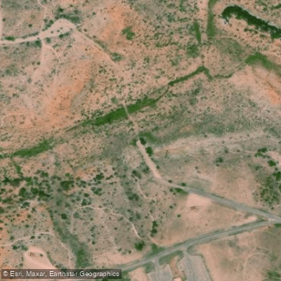
O. C. Fisher Reservoir Boat Ramp
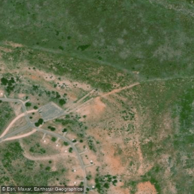
O. C. Fisher Reservoir Boat Ramp
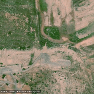
O. C. Fisher Reservoir Boat Ramp
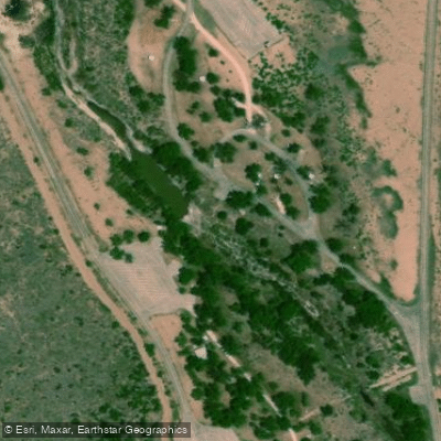
North Concho River Boat Ramp
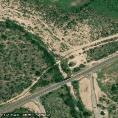
North Concho River Boat Ramp
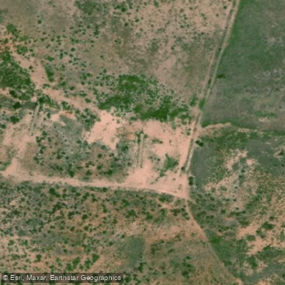
Tom Green County Boat Ramp
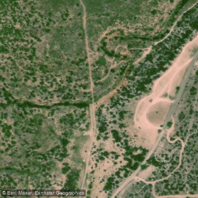
O. C. Fisher Reservoir Boat Ramp
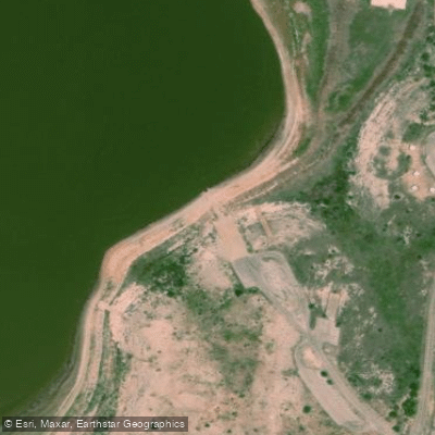
O. C. Fisher Reservoir Boat Ramp
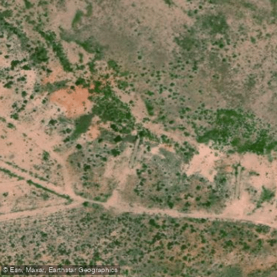
North Concho River Boat Ramp
Paddle smarter with real-time insights
Whether you're en route and conditions shift or you're looking for the best spot based on current flows, we enable you to make informed decisions on the fly.








Find Places to Paddle

Over 400,000 Places to Paddle
Every user gets free access to launch points, boat ramps, and public property parcels.


Water and weather conditions (10 day forecast)
See the best times to paddle O C Fisher Lake and check the forecast before you go.
N Concho Rv nr Grape Creek, TX
Paddling near O C Fisher Lake
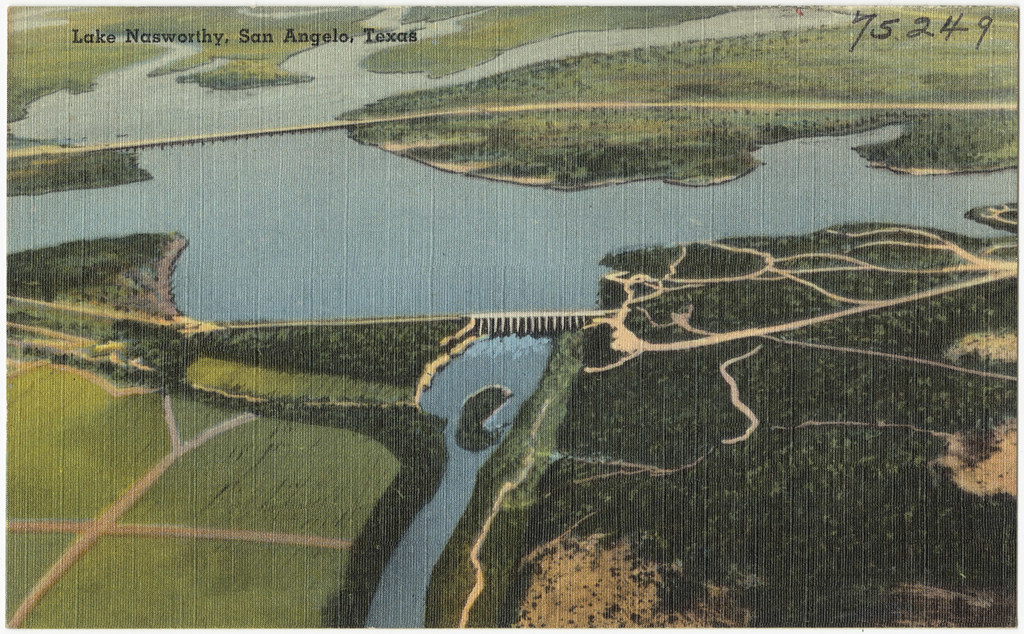
Lake Nasworthy
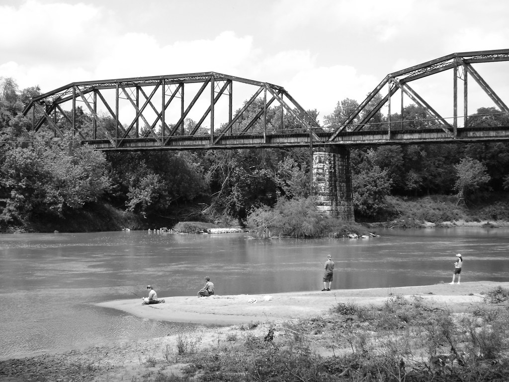
Colorado River
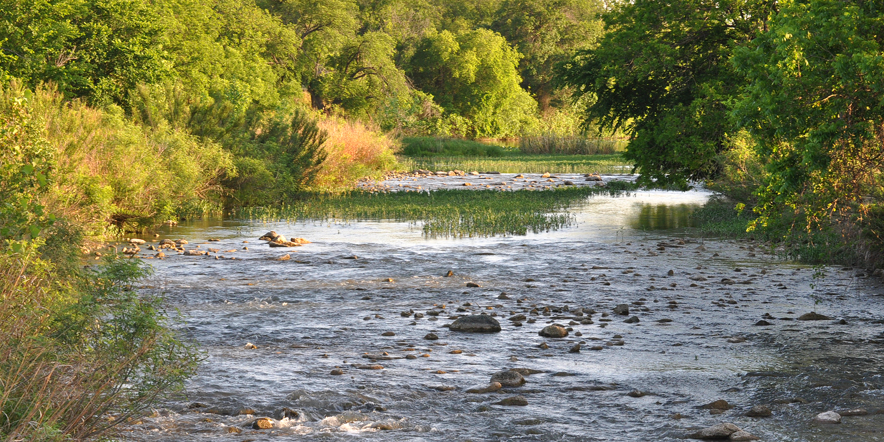
San Saba River
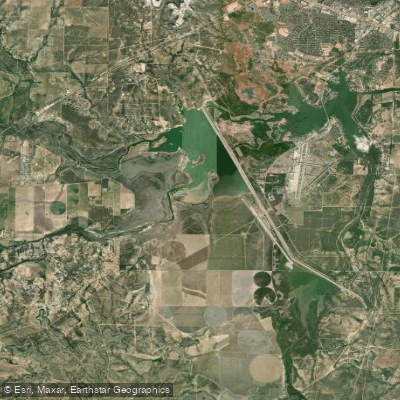
Twin Buttes Reservoir
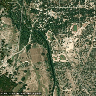
South Concho River
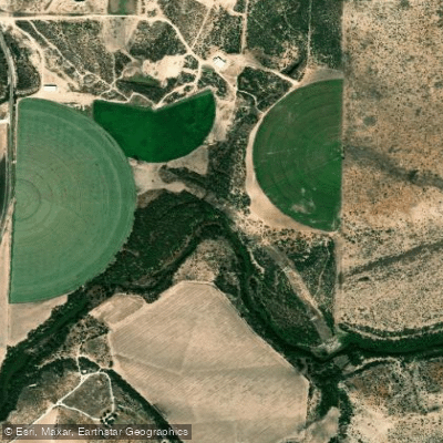
Concho River
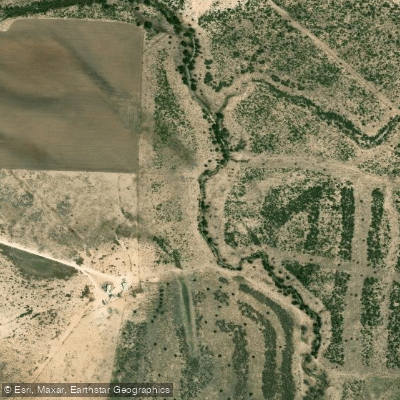
North Concho River
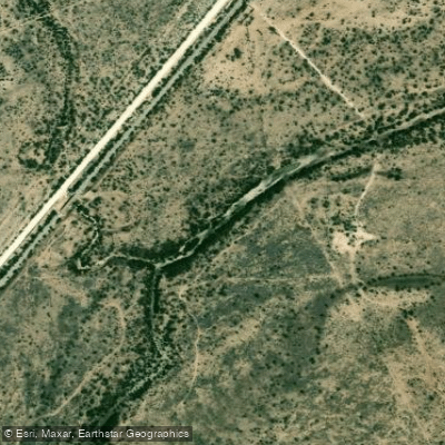
Spring Creek
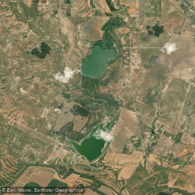
Ballinger City Lake
Explore Texas waters
Top paddling waters
Popular Cities
Loading popular cities...
Explore near O C Fisher Lake
Access points
- O. C. Fisher Reservoir Boat Ramp
- O. C. Fisher Reservoir Boat Ramp
- O. C. Fisher Reservoir Boat Ramp
- O. C. Fisher Reservoir Boat Ramp
- North Concho River Boat Ramp
- North Concho River Boat Ramp
- Tom Green County Boat Ramp
- O. C. Fisher Reservoir Boat Ramp
- O. C. Fisher Reservoir Boat Ramp
- North Concho River Boat Ramp
- Ghost Park Boat Ramp
- O.C. Fisher Boat Ramp
- All 26 spots
Nearby waters
More in Texas

Smarter Paddling Starts in the App.
Paddleways gives you everything you need to plan smarter, paddle better, and own every trip from first launch to takeout.