Bastrop Bayou
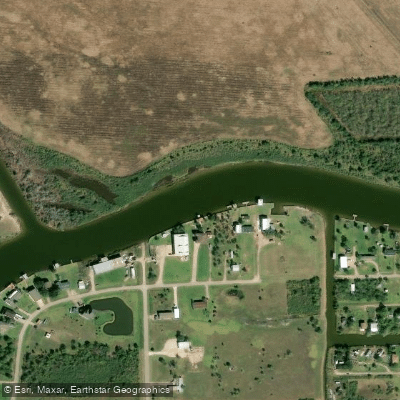
Bastrop Bayou
- Boat Ramps
- 2
- Access Points
- 3
- Campsites
- 0
Bastrop Bayou is a coastal waterway located in Brazoria County, Texas. It originates near Angleton and flows southeast for approximately 15 miles before emptying into Bastrop Bay, which connects to West Galveston Bay and the Gulf of Mexico. The bayou meanders through a mix of coastal prairie, marshland, and agricultural areas as it approaches the coast.
Paddling opportunities on Bastrop Bayou cater primarily to flatwater kayakers and canoeists. The most popular section runs from the County Road 227 crossing near Freeport downstream to Bastrop Bay. This stretch offers a scenic 6-7 mile one-way trip through a mix of open water and sheltered oxbows. The bayou widens as it nears the coast, providing expansive views of surrounding wetlands.
Bastrop Bayou is suitable for paddlers of all skill levels, with generally calm conditions and minimal current. However, winds can pick up in the wider lower sections, so paddlers should be prepared for changing conditions. The bayou can be paddled year-round, though spring and fall offer the most pleasant temperatures. Summer paddling is possible but requires precautions against heat and sun exposure.
Wildlife viewing is a highlight along Bastrop Bayou. Paddlers may encounter alligators, various wading birds, and even dolphins in the lower reaches. The surrounding coastal habitat supports a diverse ecosystem.
Key access points include: - CR 227 Crossing: Primary upper put-in with parking area - Bastrop Marina: Mid-bayou access point with amenities - Clay Banks area: Lower bayou access near Lost Lake
The nearby town of Freeport provides services and accommodations for paddlers. Angleton and Lake Jackson are also within easy driving distance.
Bastrop Bayou has long been an important waterway for the region, used historically for transportation and today primarily for recreation and fishing. The area around the bayou played a role in early Texas settlement and the development of the coastal prairie region.
Safety considerations include being aware of motorized boat traffic, especially on weekends, and watching for alligators. Paddlers should check weather forecasts, as conditions on the wider lower bayou can change quickly with incoming weather. There are no licensing requirements for paddling, but all boats must have a life jacket on board for each occupant.
While most trips on Bastrop Bayou are day paddles, adventurous paddlers could potentially string together a multi-day journey by combining the main bayou with exploration of adjacent bays and waterways in the coastal system. However, careful planning would be required due to limited camping options along the bayou itself.
Water access, boat ramps & amenities
Learn how to get on Bastrop Bayou. Uncover great paddling access points, boat ramps, and all the facilities you need for an unforgettable day on the water. Some locations shown may border or include private property. Always check property boundaries and applicable regulations before visiting. PaddleWays's Public & Private Land layer can help you plan your access with confidence.
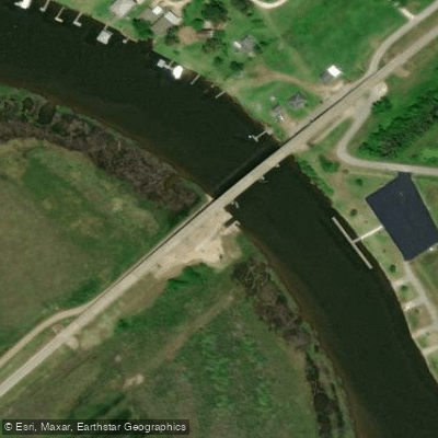
Paddle smarter with real-time insights
Whether you're en route and conditions shift or you're looking for the best spot based on current flows, we enable you to make informed decisions on the fly.








Find Places to Paddle

Over 400,000 Places to Paddle
Every user gets free access to launch points, boat ramps, and public property parcels.


Water and weather conditions (10 day forecast)
See the best times to paddle Bastrop Bayou and check the forecast before you go.
Bastrop Bayou at CR 288 nr Lake Jackson, TX
Paddling near Bastrop Bayou

Brazos River
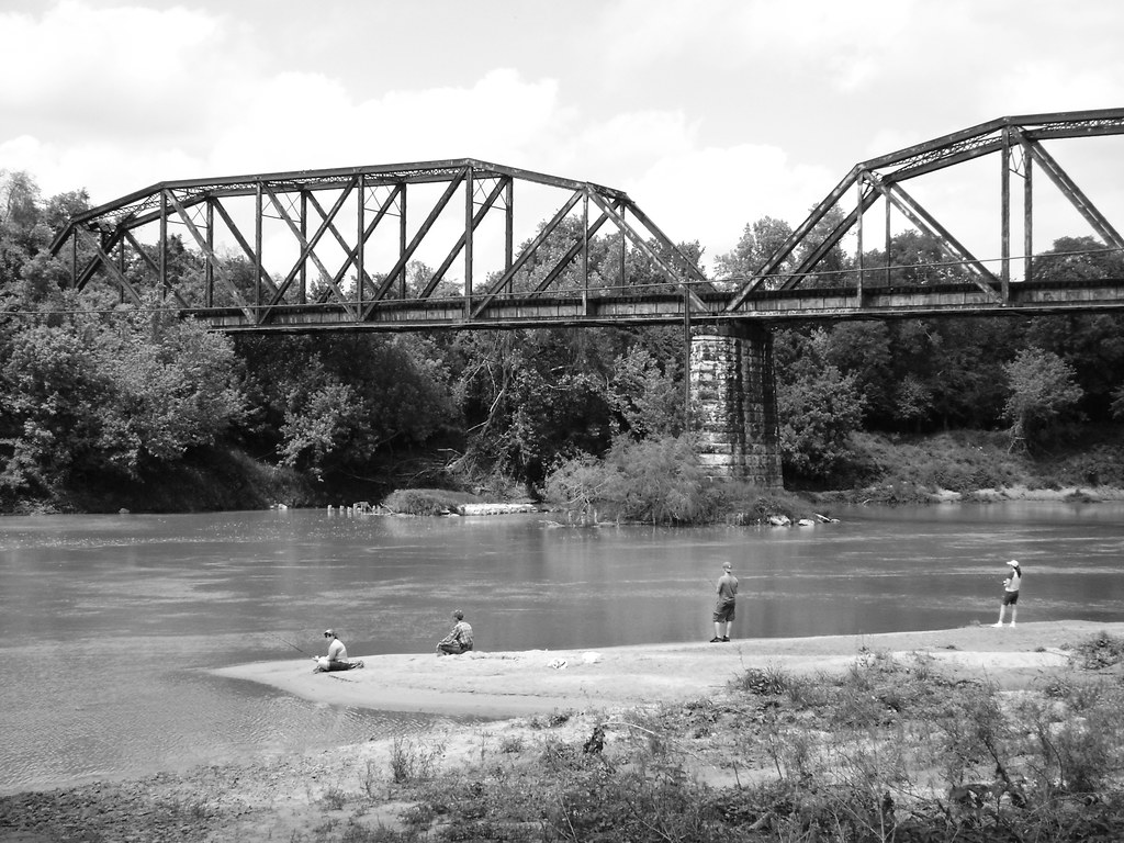
Colorado River
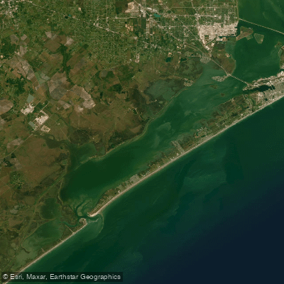
West Bay
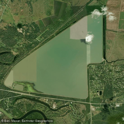
Brazoria Reservoir
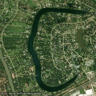
Lake Jackson
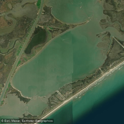
Christmas Bay
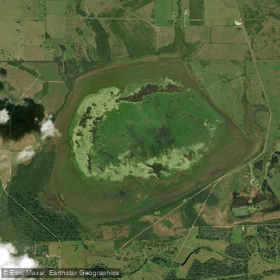
Eagle Nest Lake
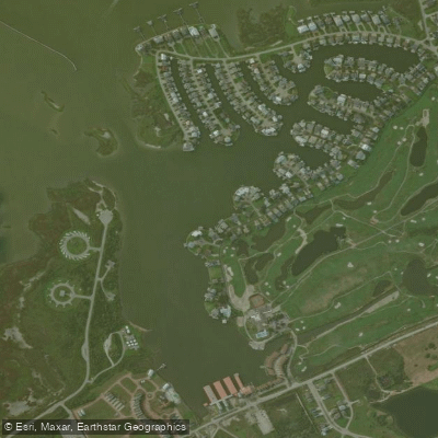
Lake Como
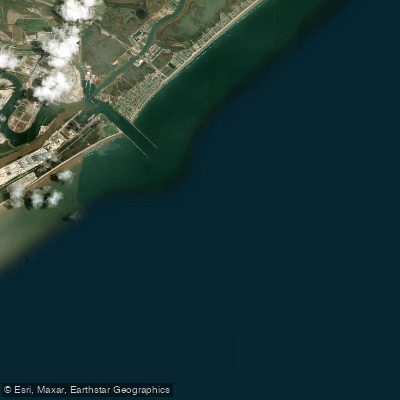
Freeport Harbor
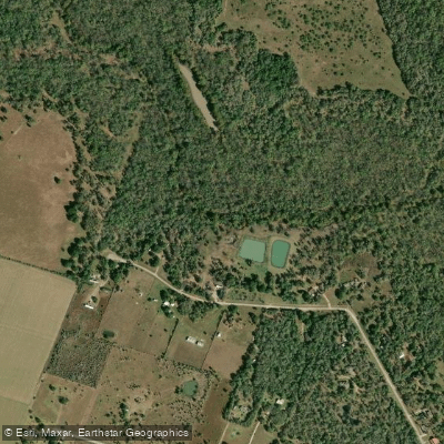
San Bernard River
Explore Texas waters
Top paddling waters
Popular Cities
Loading popular cities...
Explore near Bastrop Bayou

Smarter Paddling Starts in the App.
Paddleways gives you everything you need to plan smarter, paddle better, and own every trip from first launch to takeout.