Brazoria Reservoir
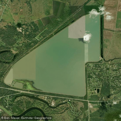
Brazoria Reservoir
- Boat Ramps
- 0
- Access Points
- 0
- Campsites
- 0
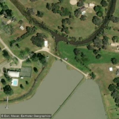
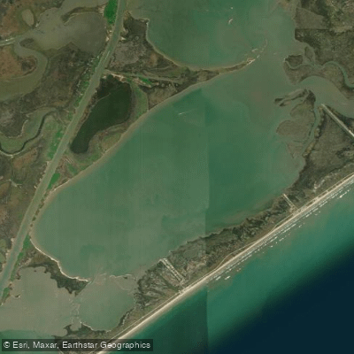
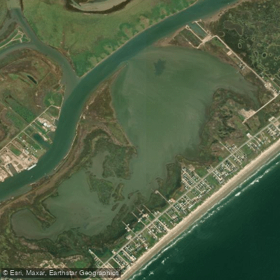
Brazoria Reservoir is a water supply impoundment located in Brazoria County, Texas, within the Brazos River Basin. This reservoir serves primarily as a water source for municipal, manufacturing, and steam-electric power generation purposes in the region, with limited public recreational access compared to other regional water bodies. The reservoir is situated in the coastal prairie region of southeast Texas, approximately one mile north of the city of Wallis in Austin County according to planning documents, though it serves Brazoria County's water demands.
The surrounding landscape features typical Gulf Coast prairie vegetation with oak mottes and grassland habitat. The area supports diverse wildlife including waterfowl, wading birds, and alligators common to Texas coastal wetlands.
Access to Brazoria Reservoir for paddling is restricted due to its function as a water supply facility. Unlike public recreation reservoirs in the region such as Lake Livingston or Lake Conroe, Brazoria Reservoir does not have designated public boat ramps or paddling access points. The reservoir's primary purpose is water storage and supply rather than recreation, which limits opportunities for kayaking and canoeing.
Water levels in the reservoir can fluctuate based on operational demands and rainfall patterns. The reservoir's proximity to agricultural areas means that water clarity may vary seasonally. Paddlers should be aware that this is an active water supply facility with potential industrial water intake structures and restricted zones.
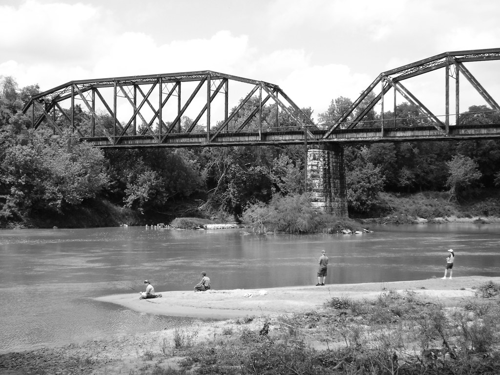
For paddlers seeking alternatives in Brazoria County, the region offers several more accessible options including segments of the Brazos River, Oyster Creek, and various coastal bayous. The Stephen F. Austin Paddling Trail system provides marked water trails along the Brazos River with established access points at County Road 849 and FM 2004, offering a more paddler-friendly experience with 6.9 to 10.4-mile segments through the scenic Brazos bottomlands.
Given the limited public access and operational restrictions, paddlers should contact local water authorities before attempting to access Brazoria Reservoir and consider alternative paddling destinations in the region.
Water access, boat ramps & amenities
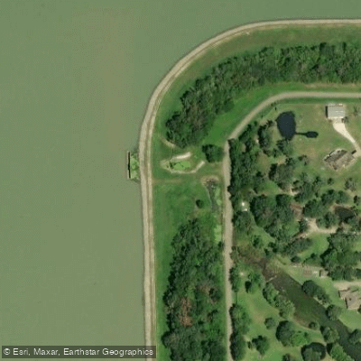
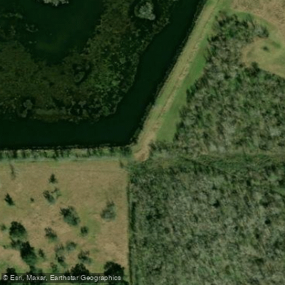
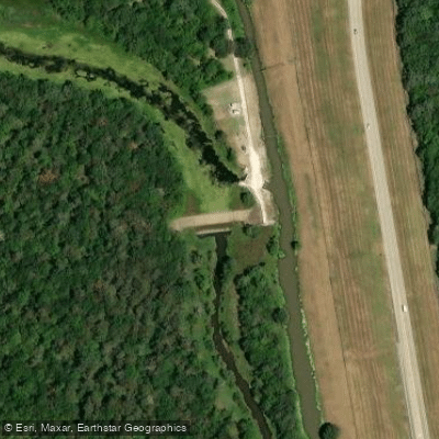
Learn how to get on Brazoria Reservoir. Uncover great paddling access points, boat ramps, and all the facilities you need for an unforgettable day on the water. Some locations shown may border or include private property. Always check property boundaries and applicable regulations before visiting. PaddleWays's Public & Private Land layer can help you plan your access with confidence.
Paddle smarter with real-time insights
Whether you're en route and conditions shift or you're looking for the best spot based on current flows, we enable you to make informed decisions on the fly.








Find Places to Paddle

Over 400,000 Places to Paddle
Every user gets free access to launch points, boat ramps, and public property parcels.


Water and weather conditions (10 day forecast)
See the best times to paddle Brazoria Reservoir and check the forecast before you go.
No forecast data available.
Paddling near Brazoria Reservoir

Explore Texas waters
Top paddling waters
Popular Cities
Loading popular cities...
Explore near Brazoria Reservoir

Smarter Paddling Starts in the App.
Paddleways gives you everything you need to plan smarter, paddle better, and own every trip from first launch to takeout.