Brazos Santiago Pass
- Saltwater
- Pass
Brazos Santiago Pass
- Saltwater
- Pass
- Sq. miles
- 37
- Boat Ramps
- 0
- Access Points
- 0
- Campsites
- 1
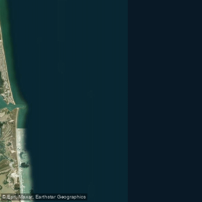
Brazos Santiago Pass is a 1.14-mile-long navigable strait connecting the Gulf of Mexico to the Lower Laguna Madre near Port Isabel, Texas. It is a major tidal inlet defined by parallel jetties spaced approximately 0.25 miles apart, with the South Padre Island jetty extending from the island's shoreline. The pass is a primary shipping channel, resulting in significant boat traffic, including commercial vessels, which is a critical safety consideration for paddlers. The tidal currents are strong, with predicted flood currents exceeding 1.6 knots and ebb currents reaching 1.7 knots; planning a trip to paddle with the tide is essential, and consulting a real-time current forecast is mandatory. The area is open and exposed to winds from the southwest through northwest, offering little natural protection and creating potential for choppy conditions. A specific safety incident involved a kayak overturning near the jetties, underscoring the inherent risks. The pass is explicitly noted as dangerous for swimming due to boat traffic and tidal movements, a warning that extends to paddlers. For access, Isla Blanca Park at the southern tip of South Padre Island offers a potential launch point with views across the pass. The waterway serves as a gateway to the expansive, shallow grass flats of the Lower Laguna Madre to the west. Water temperatures are warm, with recent data showing surface temperatures around 80-82°F in late summer.
Water access, boat ramps & amenities
Learn how to get on Brazos Santiago Pass. Uncover great paddling access points, boat ramps, and all the facilities you need for an unforgettable day on the water. Some locations shown may border or include private property. Always check property boundaries and applicable regulations before visiting. PaddleWays's Public & Private Land layer can help you plan your access with confidence.

Paddle smarter with real-time insights
Whether you're en route and conditions shift or you're looking for the best spot based on current flows, we enable you to make informed decisions on the fly.








Find Places to Paddle

Over 400,000 Places to Paddle
Every user gets free access to launch points, boat ramps, and public property parcels.


Tides, wind & water conditions (10 day forecast)
On open water, wind and tide matter as much as the weather. See the best times to paddle Brazos Santiago Pass and check the marine forecast before you launch.
Loading tide predictions…
Paddling near Brazos Santiago Pass

Rio Grande
Laguna Atascosa
Laguna Madre
Arroyo Colorado
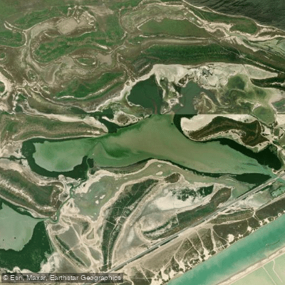
San Martin Lake
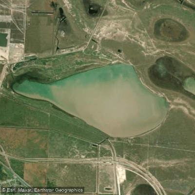
Loma Alta Lake
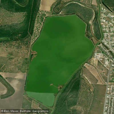
Resaca de La Palma Reservoir
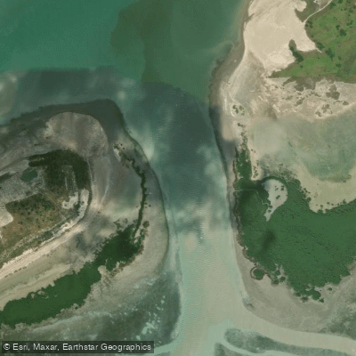
South Bay Pass
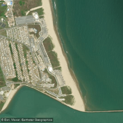
Isla Blanca Beach
Explore Texas waters
Top paddling waters
Popular Cities
Loading popular cities...
Explore near Brazos Santiago Pass

Smarter Paddling Starts in the App.
Paddleways gives you everything you need to plan smarter, paddle better, and own every trip from first launch to takeout.