Arroyo Colorado
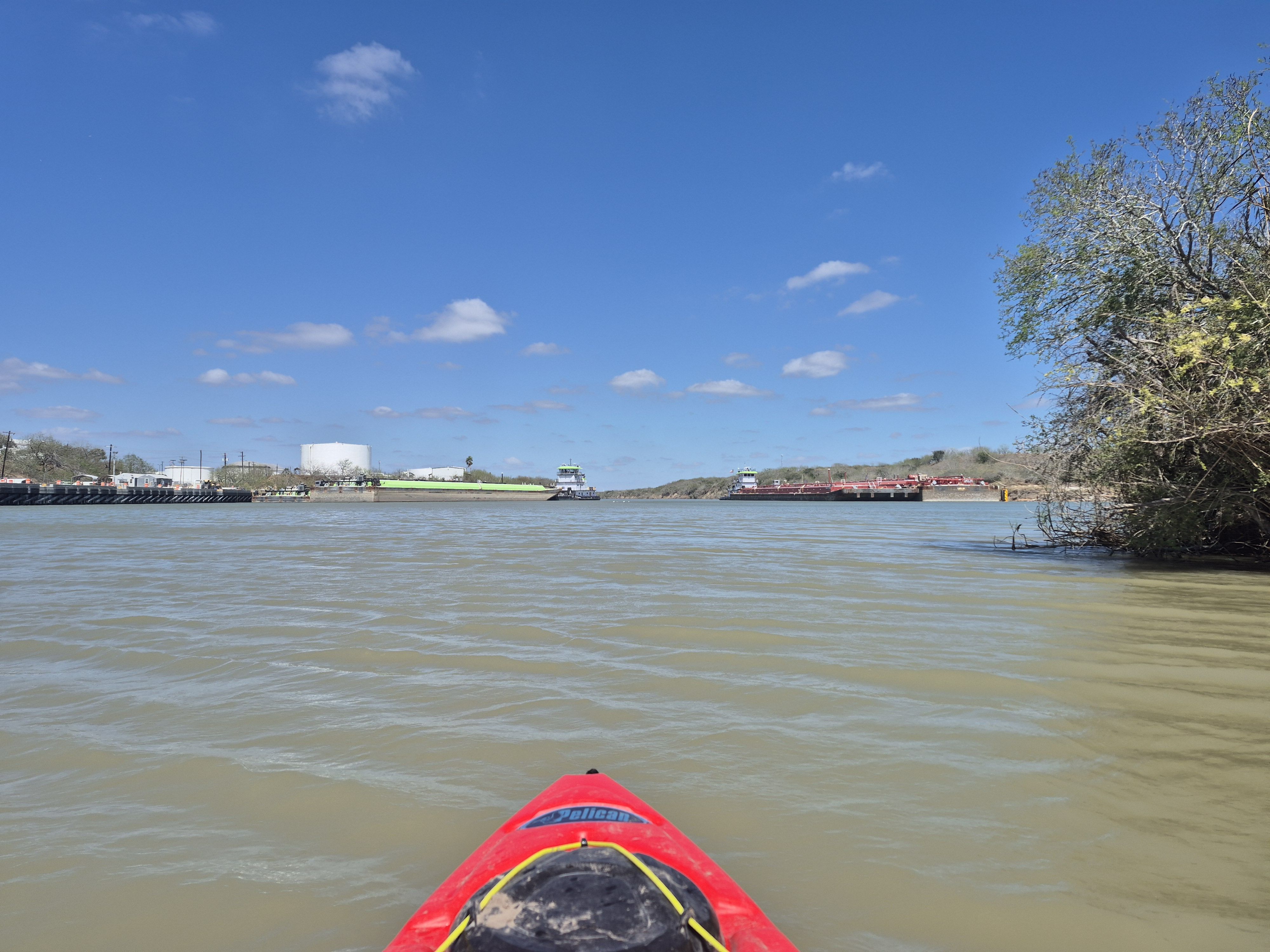
Arroyo Colorado
- Boat Ramps
- 3
- Access Points
- 3
- Campsites
- 0
The Arroyo Colorado is a unique waterway in South Texas, serving as a vital ecological and recreational resource for the Lower Rio Grande Valley. This tidal stream originates near Mission, Texas, and flows eastward for approximately 90 miles before emptying into the Laguna Madre, a hypersaline lagoon separating mainland Texas from South Padre Island.
The Arroyo Colorado offers paddlers a distinctive flatwater experience through the heart of the Rio Grande Valley. One notable section runs from McCullough Park in Harlingen to the Rio Hondo public boat ramp, spanning about 10 miles. This stretch is part of the developing Caracara Trails network, a 428-mile system connecting Lower Valley communities.
Paddling difficulty on the Arroyo Colorado is generally mild, making it suitable for beginners and families. However, tidal influences in the lower reaches can affect water levels and currents, requiring some awareness from paddlers. The river's deep waters and proximity to shallow coastal areas make it an excellent year-round destination, with the coldest months being particularly productive for fishing.
The Arroyo Colorado supports a rich ecosystem. Paddlers may encounter a variety of wildlife, including wading birds, waterfowl, and fish species such as redfish, speckled trout, and snook. The surrounding landscape features native South Texas brush and riparian vegetation, providing habitat for numerous bird species that make the Lower Texas Coast a renowned birding destination.
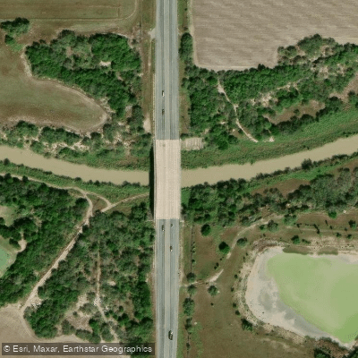
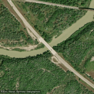
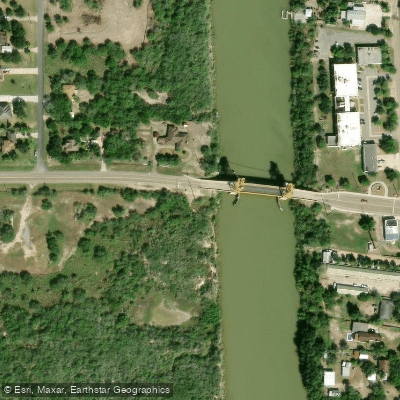
Key access points include the developing kayak launch at McCullough Park in Harlingen and the public boat ramp in Rio Hondo. The city of Harlingen is investing in improvements at McCullough Park, including a wooden deck for launching, restrooms, and parking facilities, which will enhance accessibility for paddlers.
Historically, the Arroyo Colorado has been a critical waterway for generations of anglers, boaters, and swimmers. Today, it continues to play a significant role in local recreation and eco-tourism. The river is an integral part of the Lower Texas Coast - Great Texas Coastal Birding Trail, specifically the Arroyo Colorado Loop, which showcases the area's biodiversity.
Safety considerations include being aware of tidal changes, especially in the lower sections, and potential encounters with alligators, though attacks are rare. Paddlers should also be mindful of boat traffic, particularly near populated areas and fishing spots.
For those interested in multi-day adventures, the Arroyo Colorado can be combined with explorations of nearby wildlife refuges and paddling trails in the Laguna Madre, offering extended opportunities to experience the unique coastal ecology of South Texas.
Water access, boat ramps & amenities
Learn how to get on Arroyo Colorado. Uncover great paddling access points, boat ramps, and all the facilities you need for an unforgettable day on the water. Some locations shown may border or include private property. Always check property boundaries and applicable regulations before visiting. PaddleWays's Public & Private Land layer can help you plan your access with confidence.
Paddle smarter with real-time insights
Whether you're en route and conditions shift or you're looking for the best spot based on current flows, we enable you to make informed decisions on the fly.








Find Places to Paddle

Over 400,000 Places to Paddle
Every user gets free access to launch points, boat ramps, and public property parcels.


Water and weather conditions (10 day forecast)
See the best times to paddle Arroyo Colorado and check the forecast before you go.
Arroyo Colorado at FM 106, Rio Hondo, TX
Paddling near Arroyo Colorado

Rio Grande
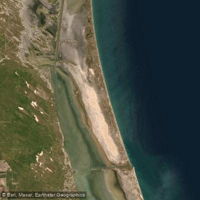
Laguna Madre
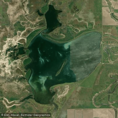
Laguna Atascosa
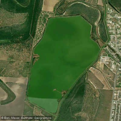
Resaca de La Palma Reservoir
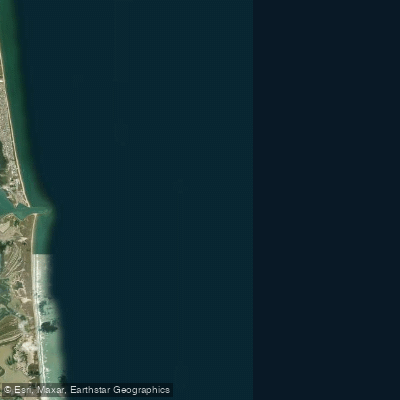
Brazos Santiago Pass
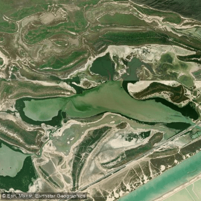
San Martin Lake
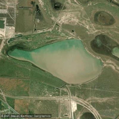
Loma Alta Lake
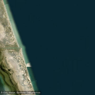
Port Mansfield Channel
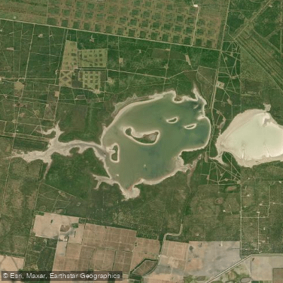
La Sal Vieja
Explore Texas waters
Top paddling waters
Popular Cities
Loading popular cities...
Explore near Arroyo Colorado

Smarter Paddling Starts in the App.
Paddleways gives you everything you need to plan smarter, paddle better, and own every trip from first launch to takeout.