Loma Alta Lake
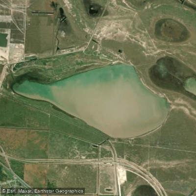
Loma Alta Lake
- Boat Ramps
- 0
- Access Points
- 0
- Campsites
- 0
Loma Alta Lake is an off-channel reservoir located about 8 miles northeast of Brownsville in Cameron County, Texas. The lake has a surface area of 2,490 acres at its conservation pool elevation of 17.5 feet above mean sea level. With a capacity of 26,500 acre-feet, it serves as a water supply for municipal and industrial use, as well as for recreation.
The lake was created by the construction of an earthfill dam, completed in March 1963. The dam has a variable height and cross-section, with an average bottom width of 90 feet and a top width of 18 feet. The top of the dam sits at an elevation of 21.5 feet above mean sea level.
Paddlers will find a flat to rolling terrain surrounding the lake, characterized by dark, calcareous clays that support vegetation such as mesquite, grasses, and cacti. This landscape provides an interesting backdrop for paddling excursions.
The Brownsville Navigation District owns and operates the reservoir, maintaining water levels by pumping from the Rio Grande during off-season irrigation demands. This management practice helps ensure consistent water levels for recreational activities.
The lake's substantial size offers ample space for exploration, though paddlers should keep in mind that it serves multiple purposes, including water supply and potentially other forms of recreation, which may affect the paddling experience.
Given its location in southern Texas, Loma Alta Lake likely provides year-round paddling opportunities. However, paddlers should be prepared for potentially hot and humid conditions, especially during summer months. As always, it's important to check current conditions and weather forecasts before embarking on a paddling trip.
Water access, boat ramps & amenities
Learn how to get on Loma Alta Lake. Uncover great paddling access points, boat ramps, and all the facilities you need for an unforgettable day on the water. Some locations shown may border or include private property. Always check property boundaries and applicable regulations before visiting. PaddleWays's Public & Private Land layer can help you plan your access with confidence.
Paddle smarter with real-time insights
Whether you're en route and conditions shift or you're looking for the best spot based on current flows, we enable you to make informed decisions on the fly.








Find Places to Paddle

Over 400,000 Places to Paddle
Every user gets free access to launch points, boat ramps, and public property parcels.


Water and weather conditions (10 day forecast)
See the best times to paddle Loma Alta Lake and check the forecast before you go.
No forecast data available.
Paddling near Loma Alta Lake

Rio Grande
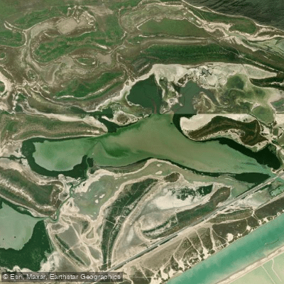
San Martin Lake
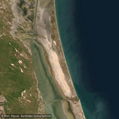
Laguna Madre
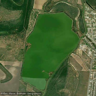
Resaca de La Palma Reservoir
Brazos Santiago Pass
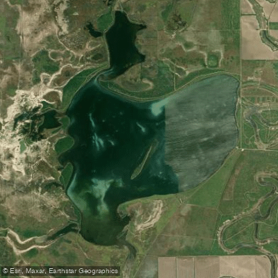
Laguna Atascosa
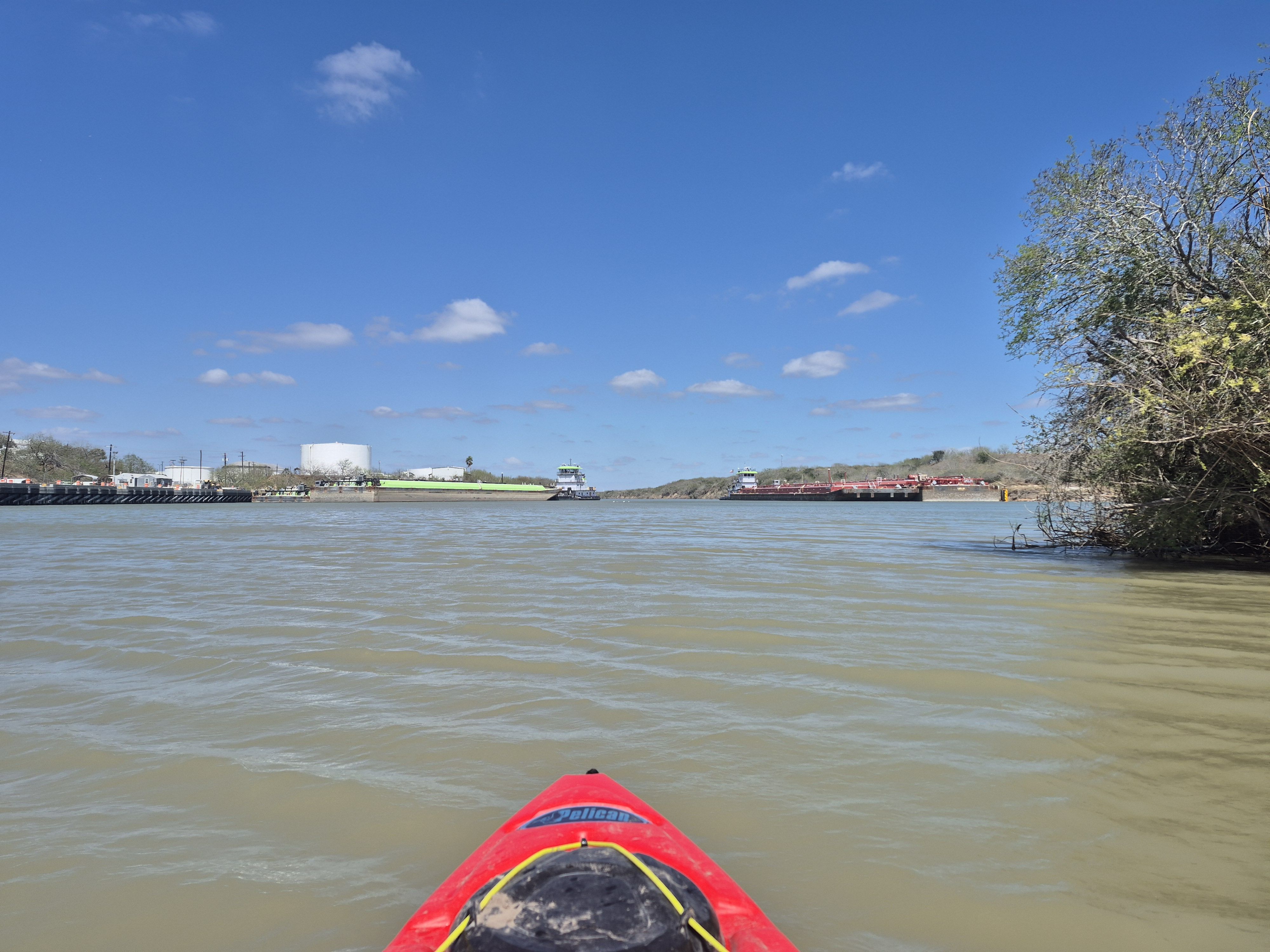
Arroyo Colorado
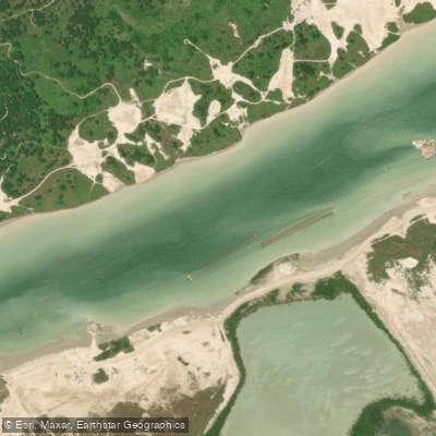
Goose Island Passing Basin
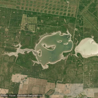
La Sal Vieja
Explore Texas waters
Top paddling waters
Popular Cities
Loading popular cities...
Explore near Loma Alta Lake

Smarter Paddling Starts in the App.
Paddleways gives you everything you need to plan smarter, paddle better, and own every trip from first launch to takeout.