South Bay Pass
- Saltwater
- Bay
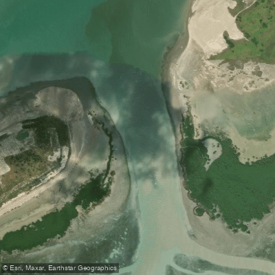
South Bay Pass
- Saltwater
- Bay
- Sq. miles
- 0.1
- Boat Ramps
- 0
- Access Points
- 0
- Campsites
- 1
South Bay Pass is a coastal pass located in the Lower Laguna Madre, providing a connection between the open waters of South Bay and the surrounding Laguna Madre waterways near South Padre Island, Texas. The pass is a key feature of the South Bay Paddling Trail, an 8-mile route that departs from Dolphin Watch Point on South Padre Island. Paddlers meander along Clark Island to reach the entrance of South Bay Pass, after which the open waters of South Bay come into view. From there, paddlers can cross the bay to visit Boca Chica State Park or Brazos Island State Park. A primary launch site for accessing this area is the South Bay Kayak Launch, located in southern Cameron County on the Lower Laguna Madre at GPS coordinates N 26°02.891' W 97°10.769'. This launch provides direct access to the South Bay Paddling Trail and nearby areas including Grass Flats, Table Top, South Bay Pass, and Mexiquita Flats. The natural environment features extensive tidal flats filled with seagrass beds and stands of black mangroves. The area supports wildlife such as dolphins. From the water in the southern part of the bay, paddlers can view the SpaceX South Texas Tracking Station and Launch Control Center near Verdolaga Lake. The region is characterized by its open bay waters and coastal marshes. Paddlers should be prepared for potential wind exposure across the open bay and must be aware of boat traffic, particularly near the Brownsville Ship Channel. Tidal currents in the pass and bay are a significant factor for trip planning. Standard safety precautions for open, coastal saltwater environments apply.
Water access, boat ramps & amenities
Learn how to get on South Bay Pass. Uncover great paddling access points, boat ramps, and all the facilities you need for an unforgettable day on the water. Some locations shown may border or include private property. Always check property boundaries and applicable regulations before visiting. PaddleWays's Public & Private Land layer can help you plan your access with confidence.
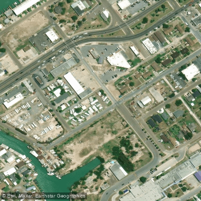
Paddle smarter with real-time insights
Whether you're en route and conditions shift or you're looking for the best spot based on current flows, we enable you to make informed decisions on the fly.








Find Places to Paddle

Over 400,000 Places to Paddle
Every user gets free access to launch points, boat ramps, and public property parcels.


Tides, wind & water conditions (10 day forecast)
On open water, wind and tide matter as much as the weather. See the best times to paddle South Bay Pass and check the marine forecast before you launch.
Loading tide predictions…
Paddling near South Bay Pass

Rio Grande
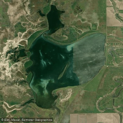
Laguna Atascosa
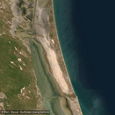
Laguna Madre
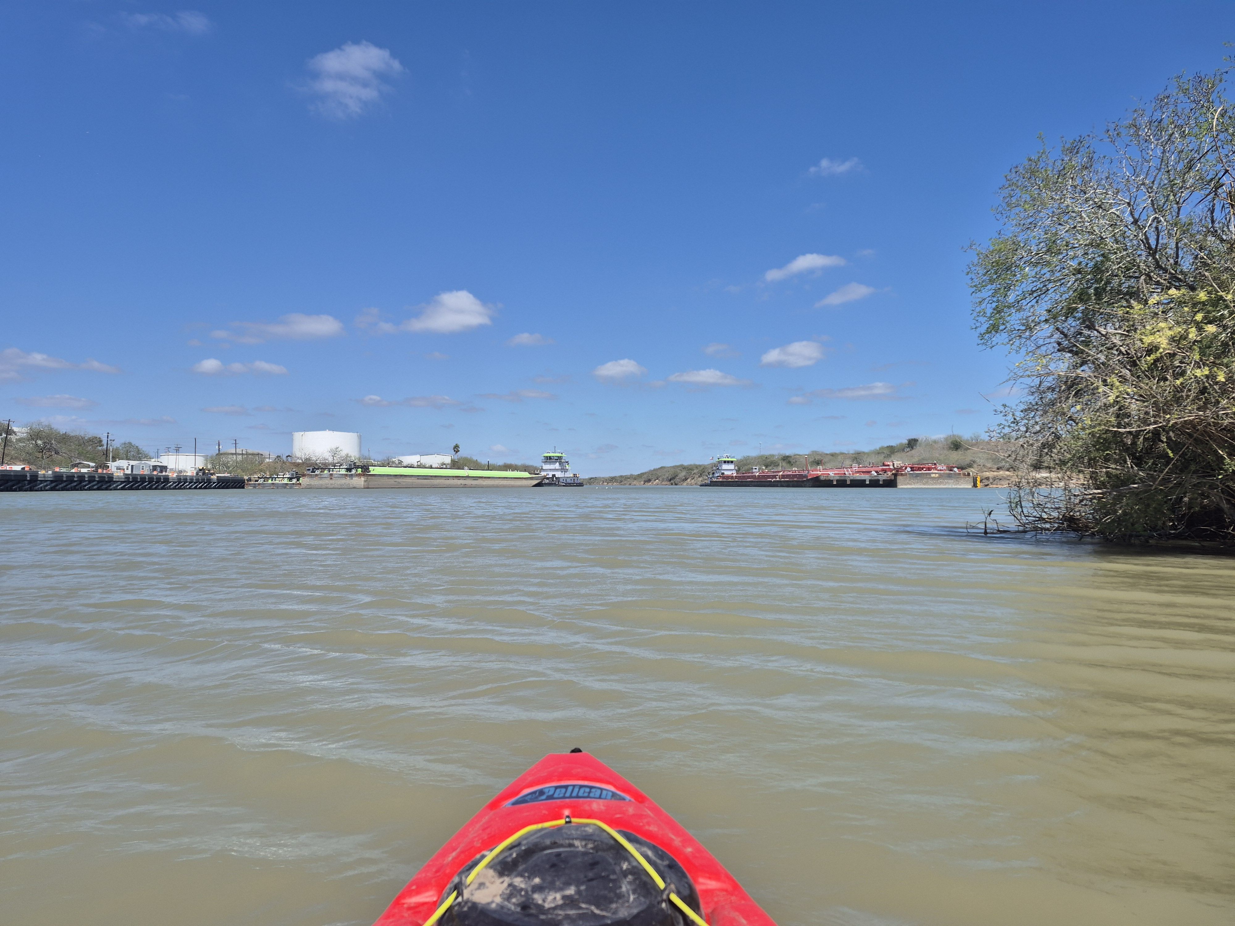
Arroyo Colorado
San Martin Lake
Brazos Santiago Pass
Loma Alta Lake
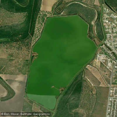
Resaca de La Palma Reservoir
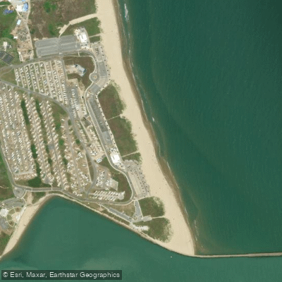
Isla Blanca Beach
Explore Texas waters
Top paddling waters
Popular Cities
Loading popular cities...
Explore near South Bay Pass

Smarter Paddling Starts in the App.
Paddleways gives you everything you need to plan smarter, paddle better, and own every trip from first launch to takeout.