Galveston Bay
- Saltwater
- Bay
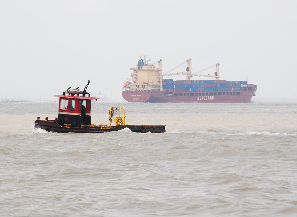
Galveston Bay
- Saltwater
- Bay
- Sq. miles
- 245
- Boat Ramps
- 10
- Access Points
- 9
- Campsites
- 0
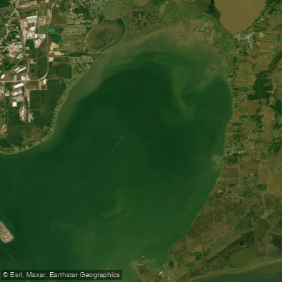
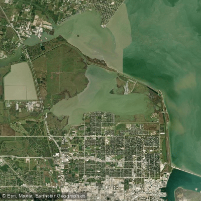
Galveston Bay is a large, shallow coastal bay complex covering roughly 600 square miles along the upper Texas coast, situated between Galveston Island and the mainland. The water is generally sheltered and shallow, with much of it under three feet deep, creating calmer conditions suitable for beginners. The aesthetic appearance and water clarity are heavily influenced by wind and rain; winds from the west can bring brown water from the Brazos River, while calmer periods allow for clearer conditions. The bay is a saltwater estuary featuring extensive salt marshes, coastal prairie, and seagrass beds that are recolonizing in some protected areas.
Primary access for paddlers is concentrated on the bayside of Galveston Island, particularly within Galveston Island State Park on the island's west end. The park offers three main sandy launch points: Lake Como, Oak Bayou, and Jenkins Bayou. These provide access to a network of marked paddling trails, including the Dana Cove Trail (2.6 miles), Oak Bayou Trail (4.8 miles), and Jenkins Bayou Trail (2.8 miles), which meander through shallow inlets, past marsh restoration terraces, and around geotextile breakwaters. Other notable public launches include the East End Lagoon Nature Preserve on the island's east side and a boat ramp on Jones Bay near Hitchcock on the mainland. Facilities at Galveston Island State Park include parking lots, restrooms, a fish cleaning station, and picnic areas. Kayak rentals and guided tours are available through private outfitters and the park's partner organizations, though rentals are not directly provided by the park itself.
Paddling conditions are tidal, and it is important to consult NOAA tide charts for Jamaica Beach, the closest listed station to the state park. The area is very shallow, so water depth is dependent on the tide stage. Wind is a significant factor, as the open bay flats have considerable fetch, making conditions rougher in strong winds. The best paddling months are generally from October through May when winds tend to slacken. Paddlers should be prepared for boat traffic, especially nearer to the deeper Intracoastal Waterway channel. Hazards include oysters, stingrays, and submerged archaeological sites, making close-toed shoes essential. The area is rich in wildlife, commonly featuring wading and shore birds like roseate spoonbills and brown pelicans, bottlenose dolphins in deeper channels, and small mammals such as raccoons and marsh rabbits in the marsh areas.
Water access, boat ramps & amenities
Learn how to get on Galveston Bay. Uncover great paddling access points, boat ramps, and all the facilities you need for an unforgettable day on the water. Some locations shown may border or include private property. Always check property boundaries and applicable regulations before visiting. PaddleWays's Public & Private Land layer can help you plan your access with confidence.
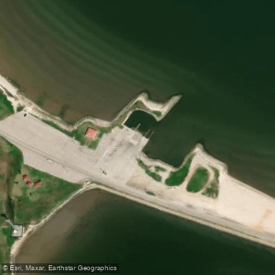
Texas City Access
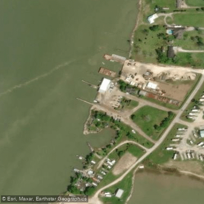
Tabbs Bay Access
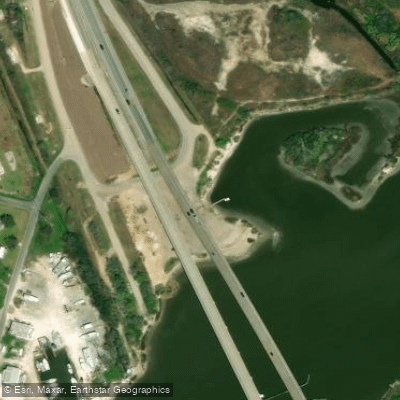
Dickinson Bay Access
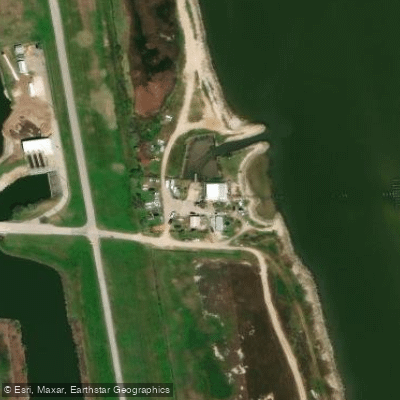
Galveston Bay Access
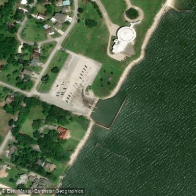
Galveston Bay Access
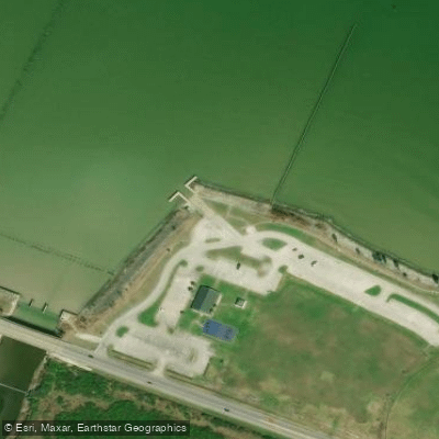
West Shoreline Galveston Bay Access
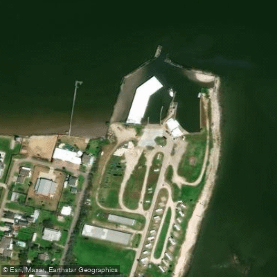
West Shoreline Galveston Bay Access
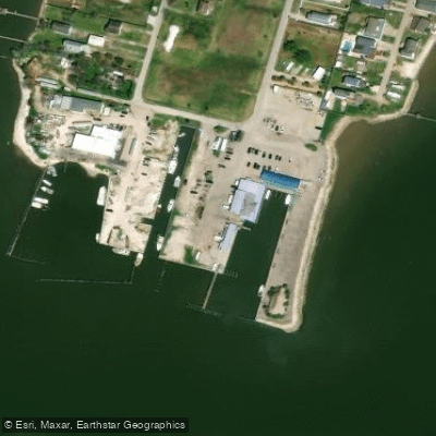
April Fools Point Access
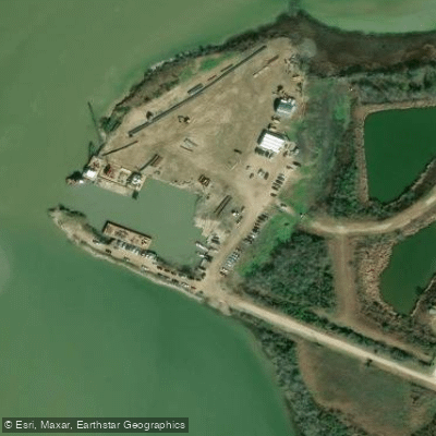
Galveston Bay Access
Paddle smarter with real-time insights
Whether you're en route and conditions shift or you're looking for the best spot based on current flows, we enable you to make informed decisions on the fly.








Find Places to Paddle

Over 400,000 Places to Paddle
Every user gets free access to launch points, boat ramps, and public property parcels.


Tides, wind & water conditions (10 day forecast)
On open water, wind and tide matter as much as the weather. See the best times to paddle Galveston Bay and check the marine forecast before you launch.
Loading tide predictions…
Paddling near Galveston Bay


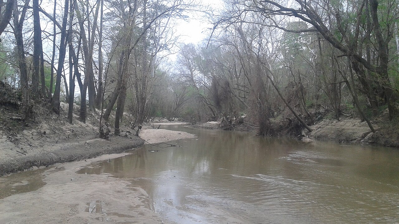
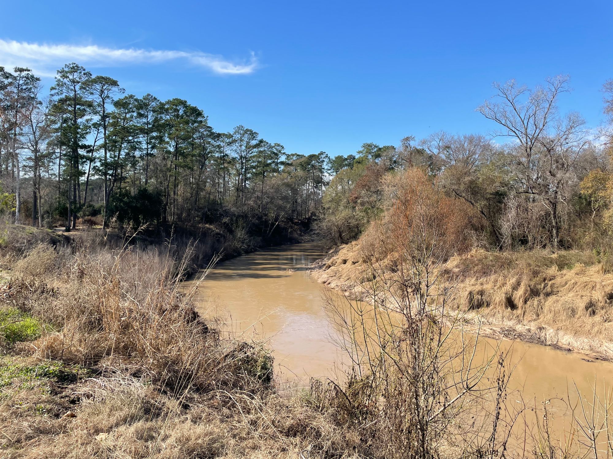
Explore Texas waters
Top paddling waters
Popular Cities
Loading popular cities...
Explore near Galveston Bay
Access points
- Highway 146 Bridge Boat Ramp
- Houston Yacht Club Boat Ramp
- Galveston Channel Boat Ramp
- Bacliff Boat Ramp
- Bayshore Park Boat Ramp
- El viejito de Texas City Boat Ramp
- Galveston Channel Boat Ramp
- Harbor Offshore Galveston Boat Ramp
- Eagle Point Fishing Camp Boat Ramp
- April Fool Point Boat Ramp
- Texas City Access
- Tabbs Bay Access
- All 20 spots
Nearby waters
More in Texas

Smarter Paddling Starts in the App.
Paddleways gives you everything you need to plan smarter, paddle better, and own every trip from first launch to takeout.