Houston Ship Channel
- Saltwater
- Channel
Houston Ship Channel
- Saltwater
- Channel
- Sq. miles
- 2
- Boat Ramps
- 0
- Access Points
- 1
- Campsites
- 0
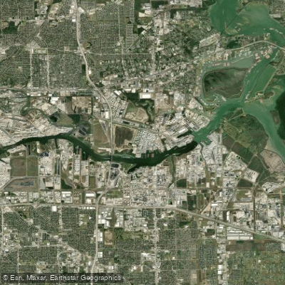
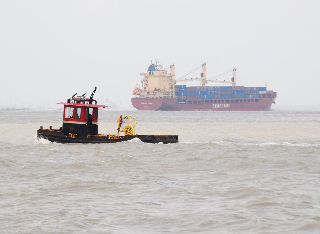
The Houston Ship Channel is a major industrial waterway and deep-water port, created by dredging and widening Buffalo Bayou. It is a vital piece of national infrastructure, and paddling within the active shipping lanes is strongly discouraged and may be illegal. Official warnings state that entering the Turning Basin area in a private paddle craft is prohibited and could result in being fired upon, as such vessels could be perceived as a security threat. The primary hazard is intense commercial maritime traffic, including massive ships whose powerful wakes can be dangerous, with one source noting a wake "can literally suck you down 30 feet under and slam you onto the bottom of the channel." The area is a machine-dominated, noxious wilderness, characterized by industrial activity rather than natural scenery. For paddlers, recreational access is focused on the bayous that feed into the channel, such as Buffalo Bayou, Brays Bayou, and Greens Bayou, which have designated Texas Paddling Trails and public launch points. These tributaries offer urban paddling experiences through Houston, with sights ranging from downtown skylines to lush greenery, and wildlife like turtles and herons. The best time to paddle is during cooler months, specifically fall, winter, or spring, or at sunrise in summer to avoid Houston's extreme heat and humidity. Water quality in the main channel is implied to be poor, and the aesthetic is overwhelmingly industrial.
Water access, boat ramps & amenities
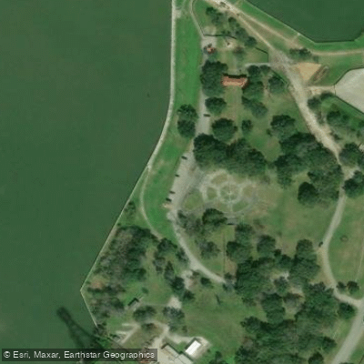
Learn how to get on Houston Ship Channel. Uncover great paddling access points, boat ramps, and all the facilities you need for an unforgettable day on the water. Some locations shown may border or include private property. Always check property boundaries and applicable regulations before visiting. PaddleWays's Public & Private Land layer can help you plan your access with confidence.
Paddle smarter with real-time insights
Whether you're en route and conditions shift or you're looking for the best spot based on current flows, we enable you to make informed decisions on the fly.








Find Places to Paddle

Over 400,000 Places to Paddle
Every user gets free access to launch points, boat ramps, and public property parcels.


Tides, wind & water conditions (10 day forecast)
On open water, wind and tide matter as much as the weather. See the best times to paddle Houston Ship Channel and check the marine forecast before you launch.
Loading tide predictions…
Paddling near Houston Ship Channel

Trinity River

Brazos River
Galveston Bay
West Fork San Jacinto River
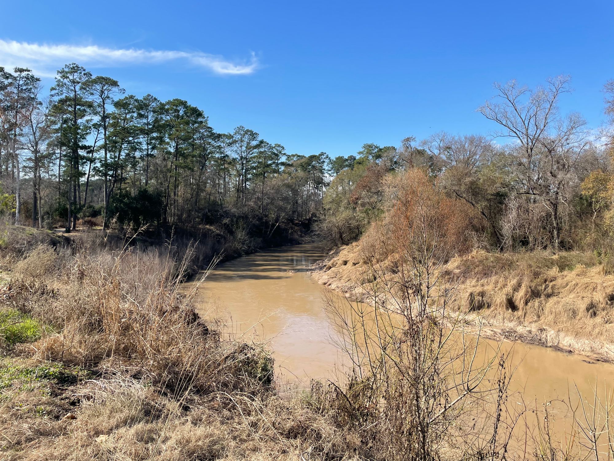
Cypress Creek
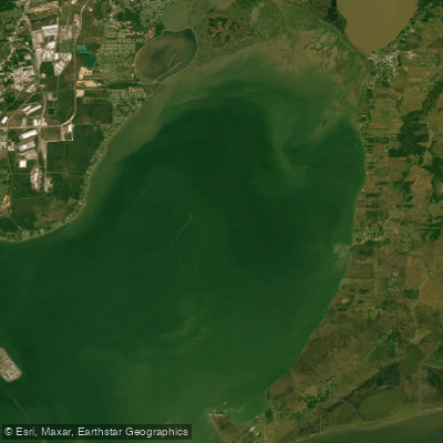
Trinity Bay
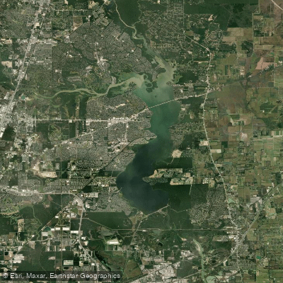
Lake Houston
San Jacinto River
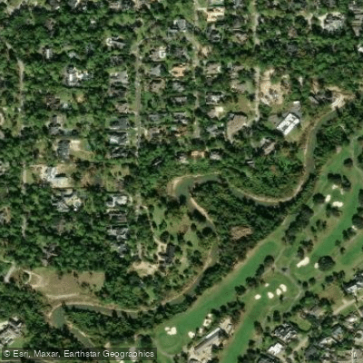
Buffalo Bayou
Explore Texas waters
Top paddling waters
Popular Cities
Loading popular cities...
Explore near Houston Ship Channel

Smarter Paddling Starts in the App.
Paddleways gives you everything you need to plan smarter, paddle better, and own every trip from first launch to takeout.