East Fork San Jacinto River
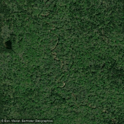
East Fork San Jacinto River
- Boat Ramps
- 5
- Access Points
- 5
- Campsites
- 10
The East Fork San Jacinto River originates in San Jacinto County, Texas and flows southward for 46 miles through Walker County before entering Harris County. It joins with Caney Creek and the West Fork San Jacinto River to form Lake Houston, which ultimately drains into Galveston Bay and the Gulf of Mexico. This river offers several paddling opportunities, with the most popular section being a 6.5-mile stretch from the FM1485 kayak launch near New Caney to its confluence with Caney Creek. This flatwater run passes through scenic East Texas forest and is suitable for beginners to intermediate paddlers. The upper reaches in San Jacinto and Walker counties provide a more remote experience, while the lower sections near Lake Houston offer easier access.
The East Fork maintains consistent flow year-round, though water levels can fluctuate seasonally. Spring and fall typically provide the most reliable paddling conditions. Summer can bring low water levels, while winter may see higher flows after rain events.
The river corridor supports diverse wildlife, including various fish species, turtles, and wading birds. The Texas Parks and Wildlife Department has designated it as an Ecoregion Reference Stream due to its high water quality and aquatic biodiversity.
Key access points include the FM1485 kayak launch in New Caney and take-outs at Lake Houston Wilderness Park or the Caney Creek confluence. For longer trips, paddlers can continue downstream to Lake Houston.
The East Fork played a role in early Texas settlement and logging operations. Today, it serves as an important recreational resource and water supply for the Houston metro area.
Paddlers should be aware of potential logjams and strainers, especially in less-traveled upper sections. Multi-day trips are possible by combining the East Fork with Caney Creek or continuing onto Lake Houston, though camping options are limited.
The river's proximity to Houston makes it a popular destination for day trips and nature enthusiasts seeking a quick escape from the city. Its relatively calm waters and scenic surroundings offer an ideal setting for birdwatching, fishing, and photography, in addition to paddling adventures.
Water access, boat ramps & amenities
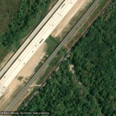
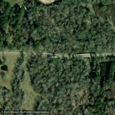
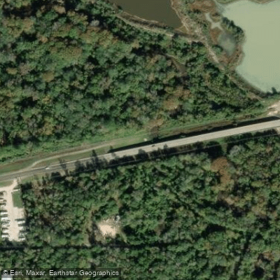
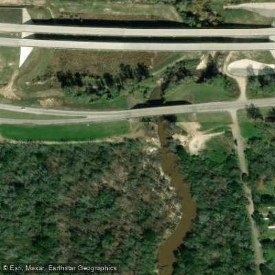
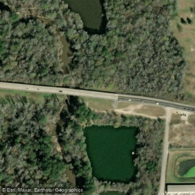
Learn how to get on East Fork San Jacinto River. Uncover great paddling access points, boat ramps, and all the facilities you need for an unforgettable day on the water. Some locations shown may border or include private property. Always check property boundaries and applicable regulations before visiting. PaddleWays's Public & Private Land layer can help you plan your access with confidence.
Paddle smarter with real-time insights
Whether you're en route and conditions shift or you're looking for the best spot based on current flows, we enable you to make informed decisions on the fly.








Find Places to Paddle

Over 400,000 Places to Paddle
Every user gets free access to launch points, boat ramps, and public property parcels.


Water and weather conditions (10 day forecast)
See the best times to paddle East Fork San Jacinto River and check the forecast before you go.
E Fk San Jacinto Rv at SH 150 nr Coldspring, TX
All Flow Stations
Paddling near East Fork San Jacinto River
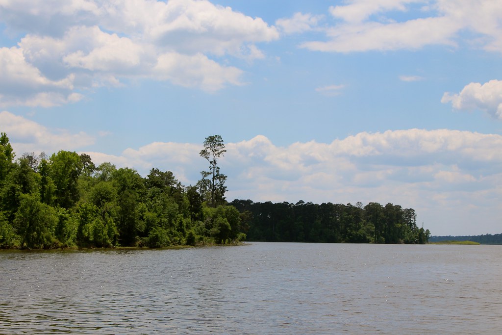
Lake Conroe
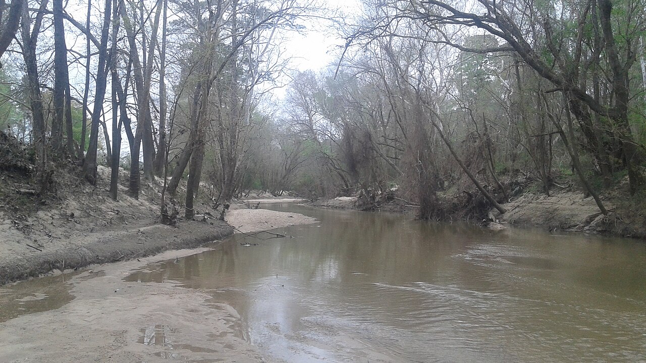
West Fork San Jacinto River
Buffalo Bayou
Lake Livingston

Brazos River
Muleshoe Lake

Trinity River
Cypress Creek
Turkey Bend Cutoff
Navasota River
Explore Texas waters
Top paddling waters
Popular Cities
Loading popular cities...
Explore near East Fork San Jacinto River
Access points
- East Fork San Jacinto Boat Ramp
- East Fork San Jacinto Boat Ramp
- East Fork San Jacinto Boat Ramp
- East Fork San Jacinto Boat Ramp
- East Fork San Jacinto Boat Ramp
- East Fork San Jacinto River Bridge
- Mills Branch Bridge
- Peach Creek Bridge
- Jayhawker Creek Bridge
- Mercy Campground
- Magnolia Trail Campground
- Double Lake Recreation Area Campground
- All 19 spots
Nearby waters
More in Texas

Smarter Paddling Starts in the App.
Paddleways gives you everything you need to plan smarter, paddle better, and own every trip from first launch to takeout.