James River
James River
- Boat Ramps
- 2
- Access Points
- 3
- Campsites
- 0
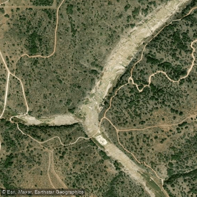
The James River is a picturesque waterway nestled in the heart of the Texas Hill Country. Originating in Kimble County, it flows southeast for approximately 36 miles before joining the Llano River just south of Mason, Texas. This spring-fed river carves through the rugged limestone landscape, creating a narrow, verdant canyon that offers paddlers a glimpse into the wild beauty of central Texas.
Paddling opportunities on the James River are primarily concentrated in Mason County, with several notable sections providing a range of experiences for canoeists and kayakers. The most popular stretch runs 18 miles from FM 385 (Yates Crossing) to FM 2389 (James River Crossing), offering a mix of Class II-III rapids that challenge intermediate paddlers. This section begins with 6 miles of relatively easy paddling before transitioning to increasingly shallow and rocky conditions. The river's difficulty ranges from Class I to III, with most sections suitable for paddlers with basic whitewater skills. However, low water levels can increase technical challenges, requiring careful navigation around exposed rocks and ledges.
The James River is best paddled in spring or after significant rainfall, as summer months often see reduced flow and require frequent portaging. The riparian ecosystem supports diverse wildlife, including white-tailed deer, wild turkeys, and various bird species. Towering cypress trees and native pecan groves line the banks, providing shade and habitat. Paddlers may encounter unique geological features, such as Martin's Bluff, which creates an exciting rapid downstream.
Key access points include Yates Crossing (FM 385), White's Crossing (FM 1871), and James River Crossing (FM 2389), all located within a 30-minute drive of Mason, the nearest town. The river splits around a large island near James Crossing, a popular spot for local recreation and camping.
Historically, the James River played a role in early Texas settlement, with its clear waters attracting ranchers and farmers to the region. Today, it remains largely undeveloped, offering paddlers a sense of remoteness and connection to the area's frontier past.
Safety considerations include checking water levels before trips, as the river can become dangerously low during dry periods. Paddlers should also be aware of private property along the banks and respect landowner rights. While multi-day trips are possible, most paddlers opt for day excursions due to limited camping options.
The James River provides a quintessential Texas Hill Country paddling experience, combining natural beauty, moderate whitewater, and a rich cultural heritage in one compact waterway.
Water access, boat ramps & amenities
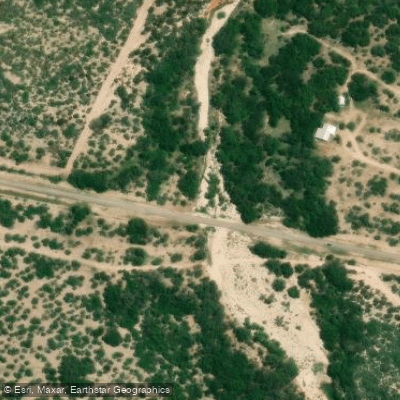
Learn how to get on James River. Uncover great paddling access points, boat ramps, and all the facilities you need for an unforgettable day on the water. Some locations shown may border or include private property. Always check property boundaries and applicable regulations before visiting. PaddleWays's Public & Private Land layer can help you plan your access with confidence.
Paddle smarter with real-time insights
Whether you're en route and conditions shift or you're looking for the best spot based on current flows, we enable you to make informed decisions on the fly.








Find Places to Paddle

Over 400,000 Places to Paddle
Every user gets free access to launch points, boat ramps, and public property parcels.


Water and weather conditions (10 day forecast)
See the best times to paddle James River and check the forecast before you go.
James River near Mason
Paddling near James River
Guadalupe River
Medina River
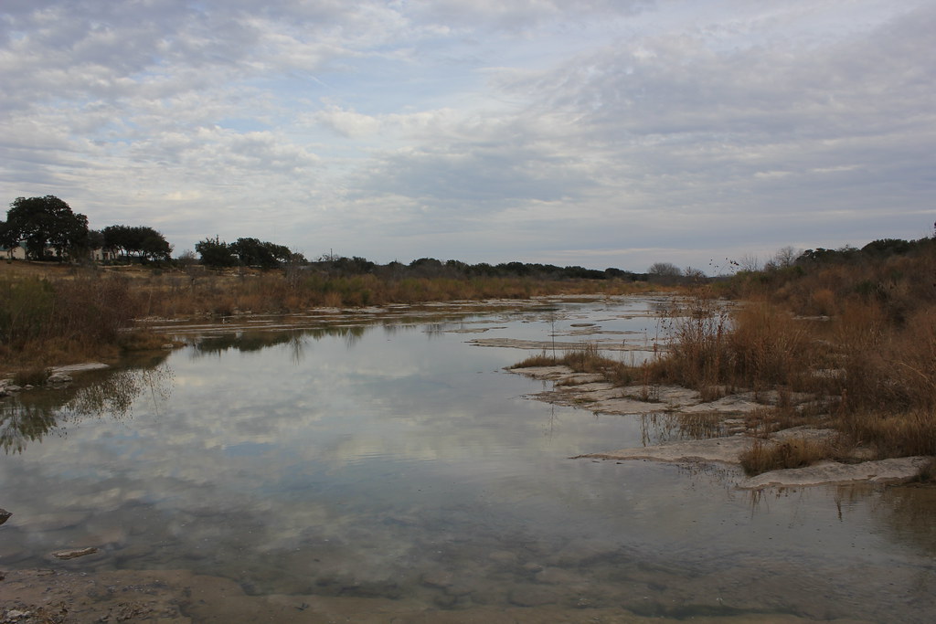
Pedernales River
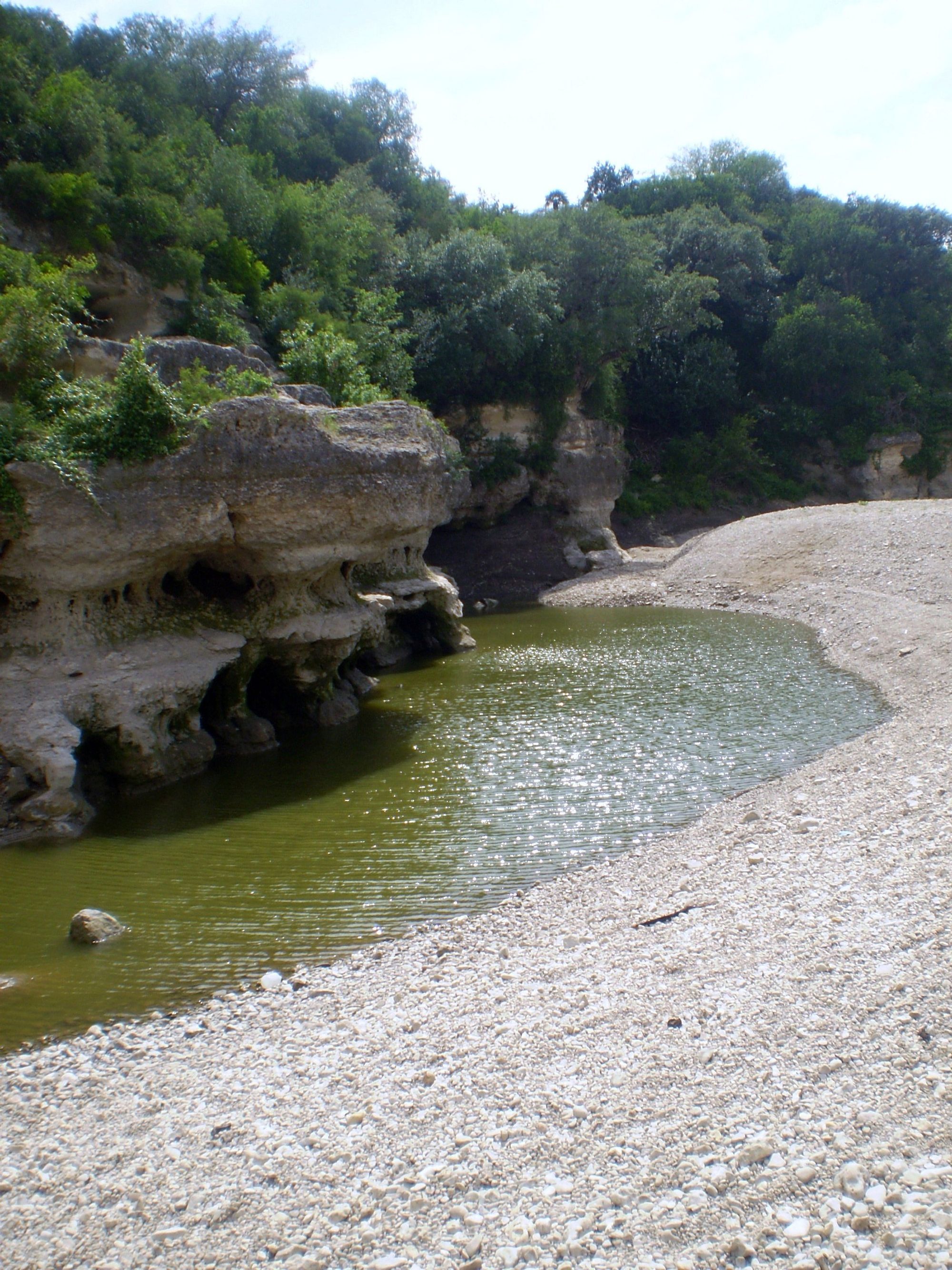
Cibolo Creek
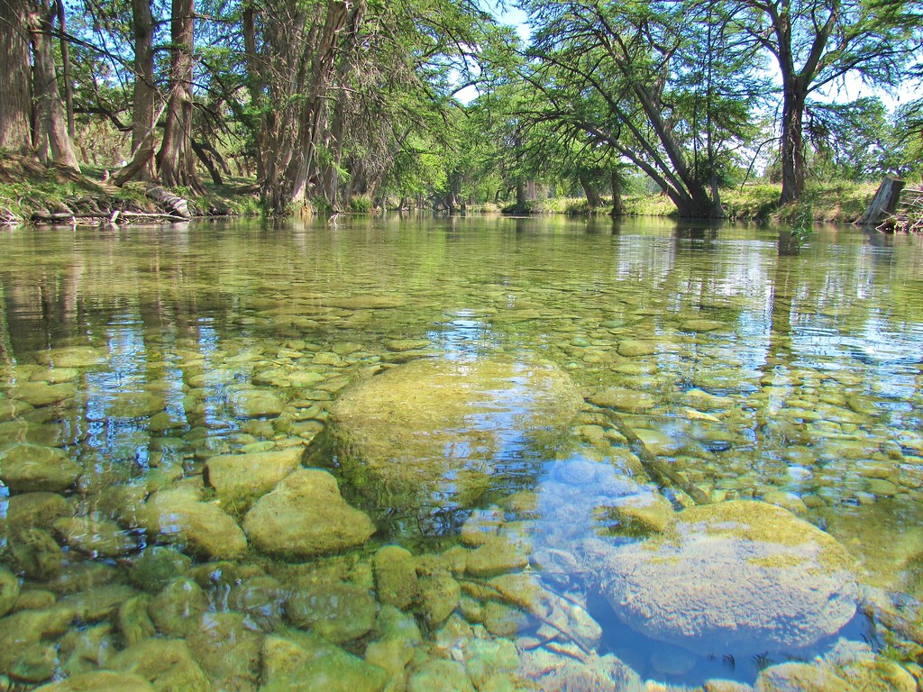
Frio River
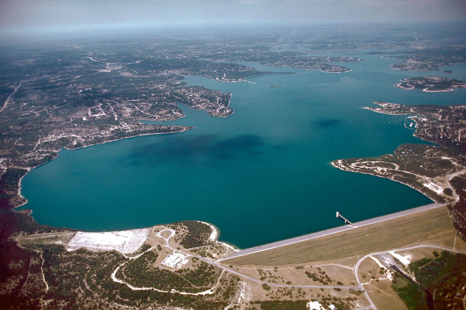
Canyon Lake
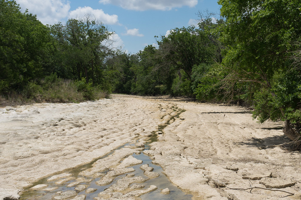
Blanco River
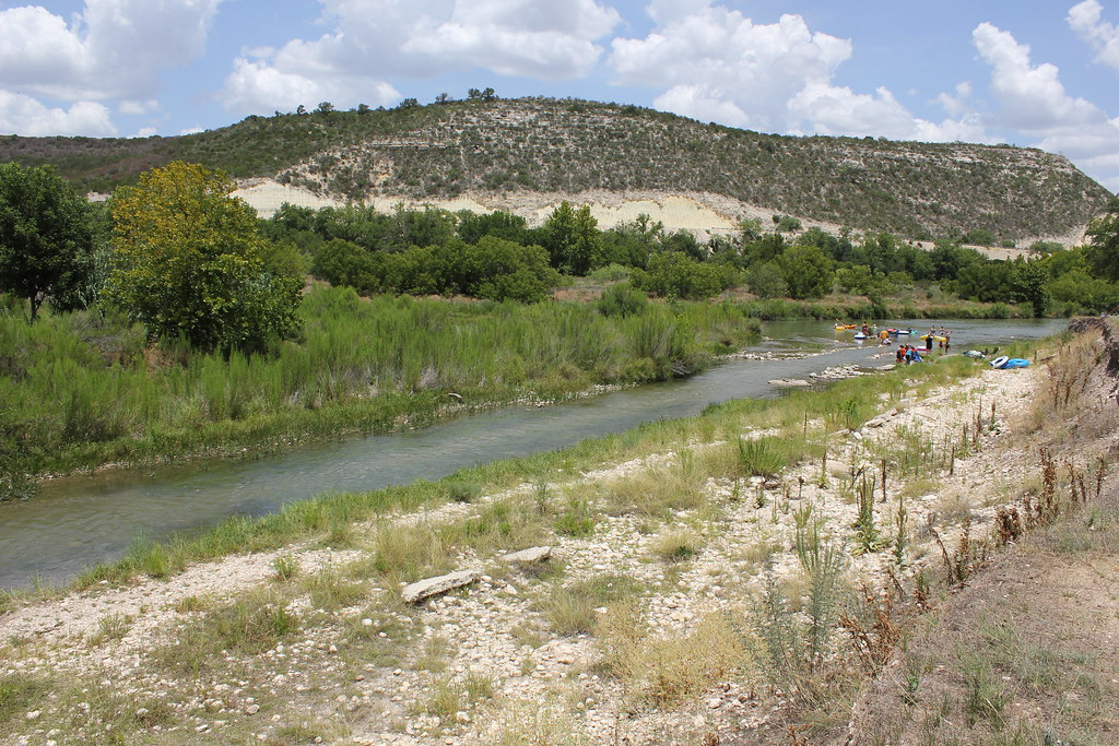
Llano River
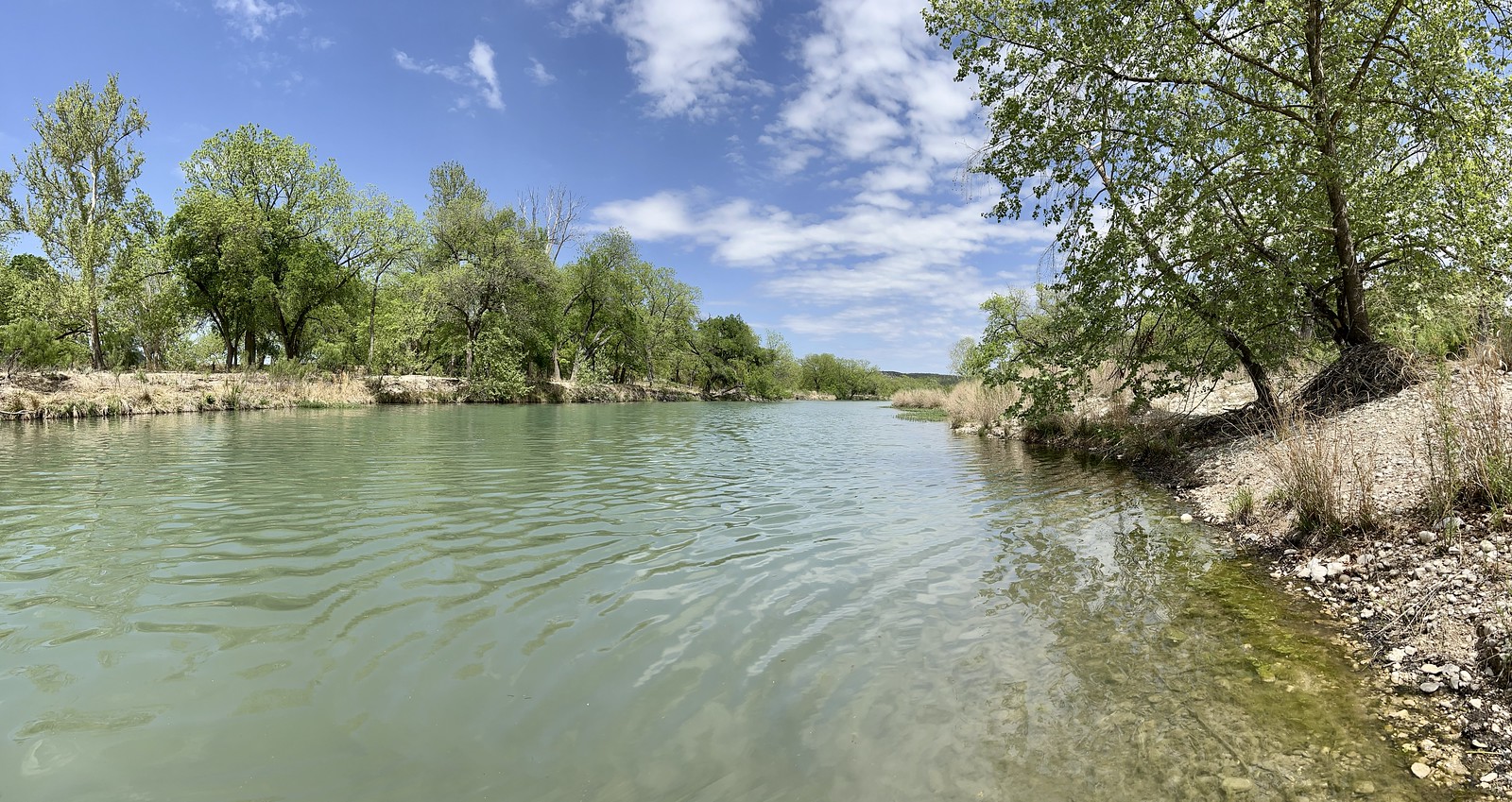
South Llano River
Kerrville Lake
Explore Texas waters
Top paddling waters
Popular Cities
Loading popular cities...
Explore near James River
Access points
Nearby waters
More in Texas

Smarter Paddling Starts in the App.
Paddleways gives you everything you need to plan smarter, paddle better, and own every trip from first launch to takeout.