Medina River
Medina River
- Boat Ramps
- 24
- Access Points
- 30
- Campsites
- 0
The Medina River is a scenic waterway in the Texas Hill Country, originating in northwest Bandera County and flowing southeast for approximately 116 miles before joining the San Antonio River. This spring-fed river is characterized by its crystal clear, blue-green waters and is a popular destination for paddling, fishing, and other recreational activities.
The river offers diverse paddling opportunities across several sections. The Upper Medina, from Third Crossing to Patterson Avenue Bridge, provides a 12.8-mile stretch of Class II rapids suitable for intermediate paddlers. The Medina to Bandera section extends 27 miles with a mix of gentle rapids and calm stretches. Below Bandera, the river continues another 12.4 miles to English Crossing, maintaining its Class II difficulty. Overall, the Medina River ranges from flatwater to Class II rapids, making it accessible to beginners while still offering excitement for more experienced paddlers.
The river is best paddled in spring and early summer when water levels are typically higher. Late summer and fall can see lower water levels, potentially requiring portages in some sections.
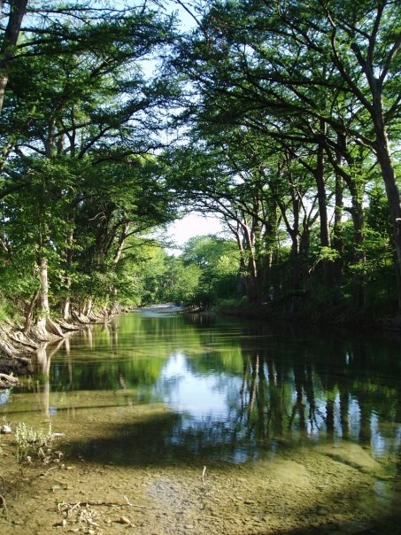
The river corridor is home to diverse flora and fauna. Towering cypress trees line the banks, creating a picturesque canopy over the water. Paddlers may spot various fish species, including sunfish, largemouth bass, and smallmouth bass. Wildlife such as deer, turkey, and numerous bird species inhabit the surrounding Hill Country landscape.
Key landmarks include the town of Medina, Bandera (known as the Cowboy Capital of the World), and various road crossings that serve as access points. The river passes through several parks, including Bandera City Park, which offers camping and other amenities. Major access points include Third Crossing on FM 2107 west of Medina, Patterson Avenue Bridge in Medina, Bandera City Park, and English Crossing (FM 1077). These access points are near the towns of Medina and Bandera, providing convenient logistics for paddlers.
The Medina River holds historical significance as a lifeline for early settlers and ranchers in the region. Today, it plays a crucial role in the area's ecology and serves as a popular recreational resource.
Safety considerations include watching for low-hanging branches, occasional log jams, and the dam in Bandera, which should not be attempted when buoys are present due to dangerous hydraulics. Paddlers should also be aware of private property along much of the river and respect landowner rights.
For those seeking a multi-day adventure, the 49-mile stretch from Medina to English Crossing can be divided into a 2-3 day trip, with camping available at designated sites and private campgrounds along the way.
Water access, boat ramps & amenities
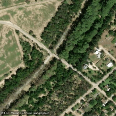
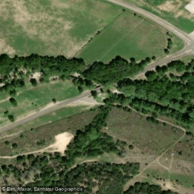
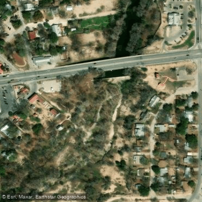
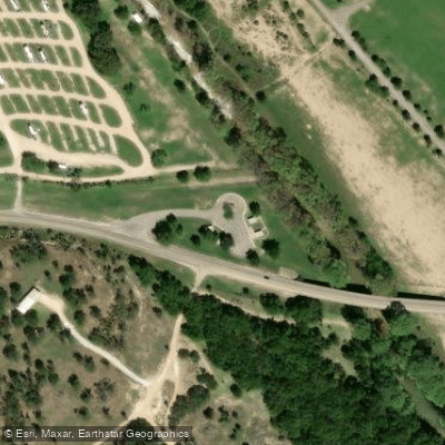
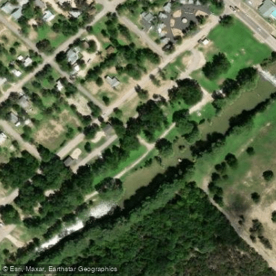
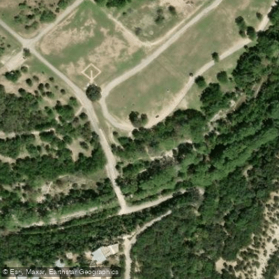
Learn how to get on Medina River. Uncover great paddling access points, boat ramps, and all the facilities you need for an unforgettable day on the water. Some locations shown may border or include private property. Always check property boundaries and applicable regulations before visiting. PaddleWays's Public & Private Land layer can help you plan your access with confidence.
Paddle smarter with real-time insights
Whether you're en route and conditions shift or you're looking for the best spot based on current flows, we enable you to make informed decisions on the fly.








Find Places to Paddle

Over 400,000 Places to Paddle
Every user gets free access to launch points, boat ramps, and public property parcels.


Water and weather conditions (10 day forecast)
See the best times to paddle Medina River and check the forecast before you go.
Medina Rv at Patterson Rd at Medina, TX
All Flow Stations
Paddling near Medina River
Explore Texas waters
Top paddling waters
Popular Cities
Loading popular cities...
Explore near Medina River
Access points
Nearby waters
More in Texas

Smarter Paddling Starts in the App.
Paddleways gives you everything you need to plan smarter, paddle better, and own every trip from first launch to takeout.