Blanco River
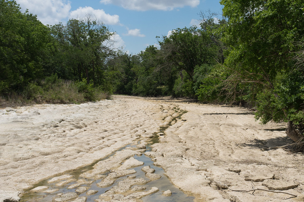
Blanco River
- Boat Ramps
- 14
- Access Points
- 22
- Campsites
- 5
The Blanco River is a scenic waterway in the Texas Hill Country, originating in Kendall County and flowing southeast for approximately 87 miles before joining the San Marcos River near the city of San Marcos. This spring-fed river is part of the Guadalupe River watershed and plays a crucial role in the Edwards Aquifer recharge zone.
Paddling opportunities on the Blanco River range from calm flatwater sections to more challenging whitewater runs. The river's difficulty varies from Class I to III, with some sections reaching Class IV-V during high water events. Popular paddling sections include the stretch from Blanco to Wimberley, the more technical Narrows section, and the run from FM 165 to Five Mile Dam near San Marcos. The river's flow is highly dependent on rainfall, with the best paddling conditions typically occurring in spring and after summer rain events. Late summer and fall often see lower water levels, which can make some sections difficult to navigate.
The Blanco River corridor supports diverse flora and fauna, including bald cypress trees, Texas wild rice, and various fish species like Guadalupe bass and Rio Grande perch. Wildlife such as white-tailed deer and various bird species can often be spotted along the banks. Key landmarks include the scenic limestone bluffs in the Narrows section, the historic town of Wimberley, and the Five Mile Dam near San Marcos.
Access points are available at several locations, including Blanco State Park, Fischer Store Road, and John Knox Ranch, which offers a newly established public access area. The river holds cultural significance for the region, having supported human settlements for thousands of years and playing a vital role in the development of Hill Country communities. Today, it remains an important recreational resource and water supply for the area.
Safety considerations include checking water levels before paddling, as flash flooding can occur rapidly in this region. Some sections, particularly the Narrows, require advanced paddling skills and should only be attempted by experienced kayakers. For those seeking a multi-day adventure, it's possible to plan a trip from Blanco to San Marcos, camping along the way. However, paddlers should be aware of private property boundaries and use only designated access points and camping areas.
Overall, the Blanco River offers a quintessential Texas Hill Country paddling experience, combining natural beauty, varied paddling conditions, and rich local history.
Water access, boat ramps & amenities
Learn how to get on Blanco River. Uncover great paddling access points, boat ramps, and all the facilities you need for an unforgettable day on the water. Some locations shown may border or include private property. Always check property boundaries and applicable regulations before visiting. PaddleWays's Public & Private Land layer can help you plan your access with confidence.
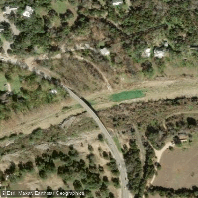
Wimbley Access
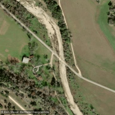
CR 407 Access

Hidden Valley Road Access
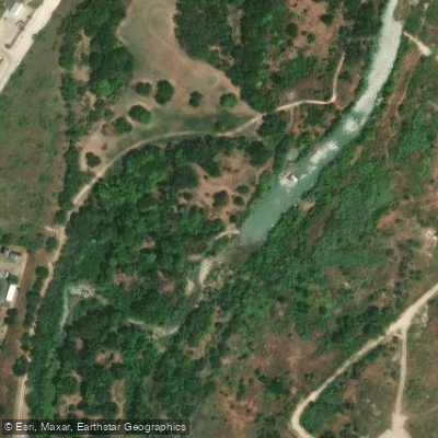
Blanco Shoals Natural Area Access

Blanco State Park Trailhead ADA Access
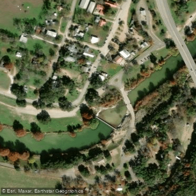
Blanco State Park Access
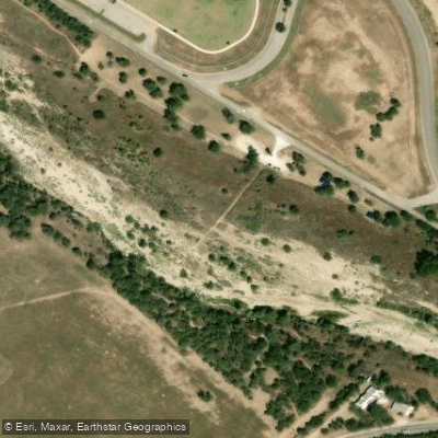
Randall W Vetter Park ADA Access
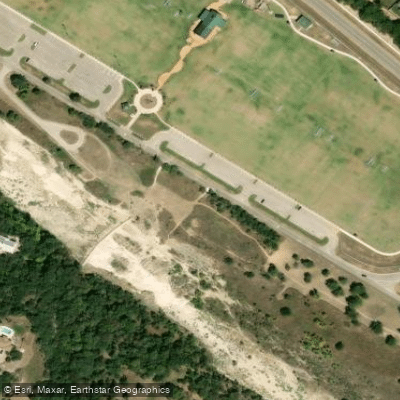
Five Mile Dam Park Access
Paddle smarter with real-time insights
Whether you're en route and conditions shift or you're looking for the best spot based on current flows, we enable you to make informed decisions on the fly.








Find Places to Paddle

Over 400,000 Places to Paddle
Every user gets free access to launch points, boat ramps, and public property parcels.


Water and weather conditions (10 day forecast)
See the best times to paddle Blanco River and check the forecast before you go.
Blanco Rv at San Marcos, TX
All Flow Stations
Paddling near Blanco River
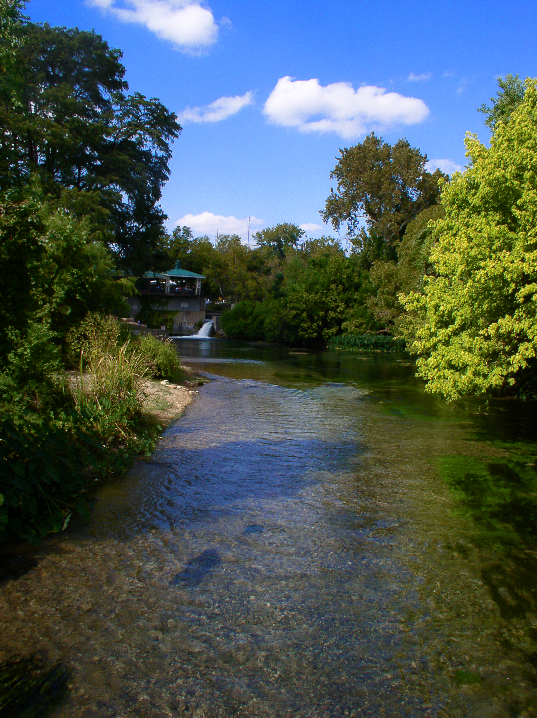
San Marcos River

Lady Bird Lake
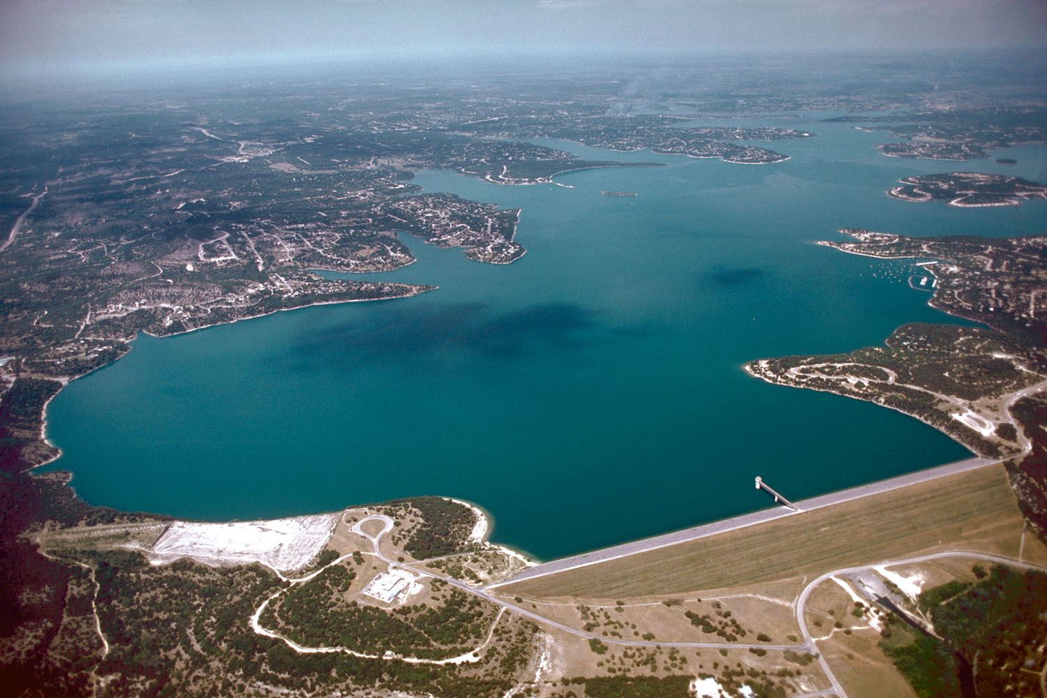
Canyon Lake
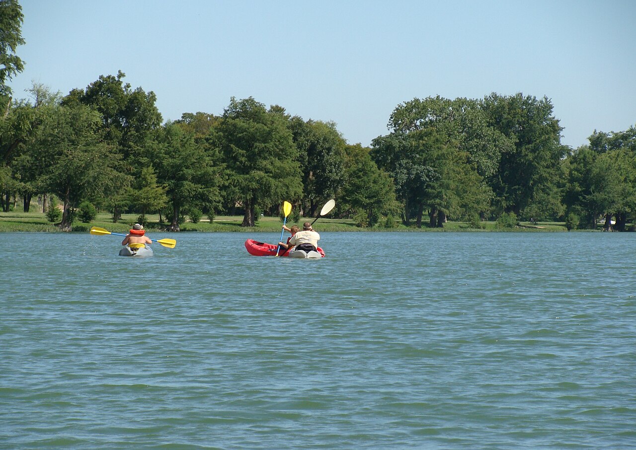
Guadalupe River
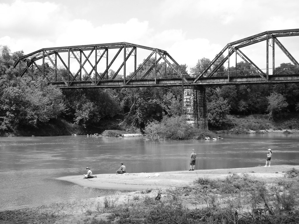
Colorado River
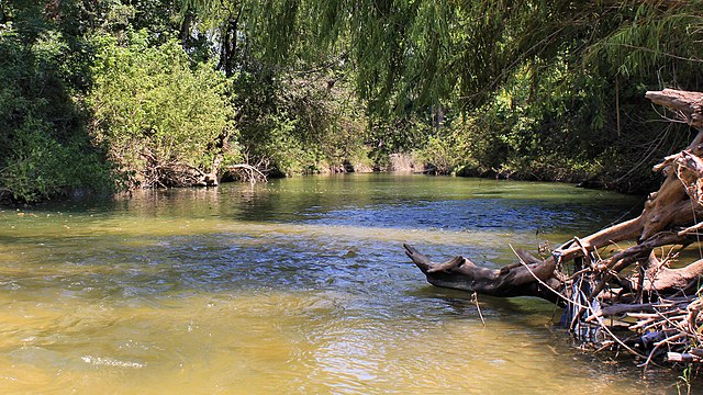
Onion Creek
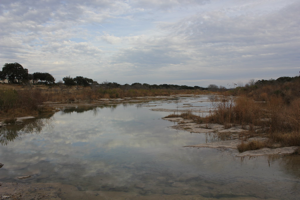
Pedernales River
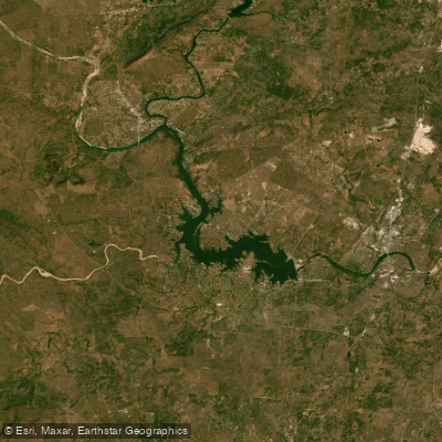
Lake Lyndon B Johnson
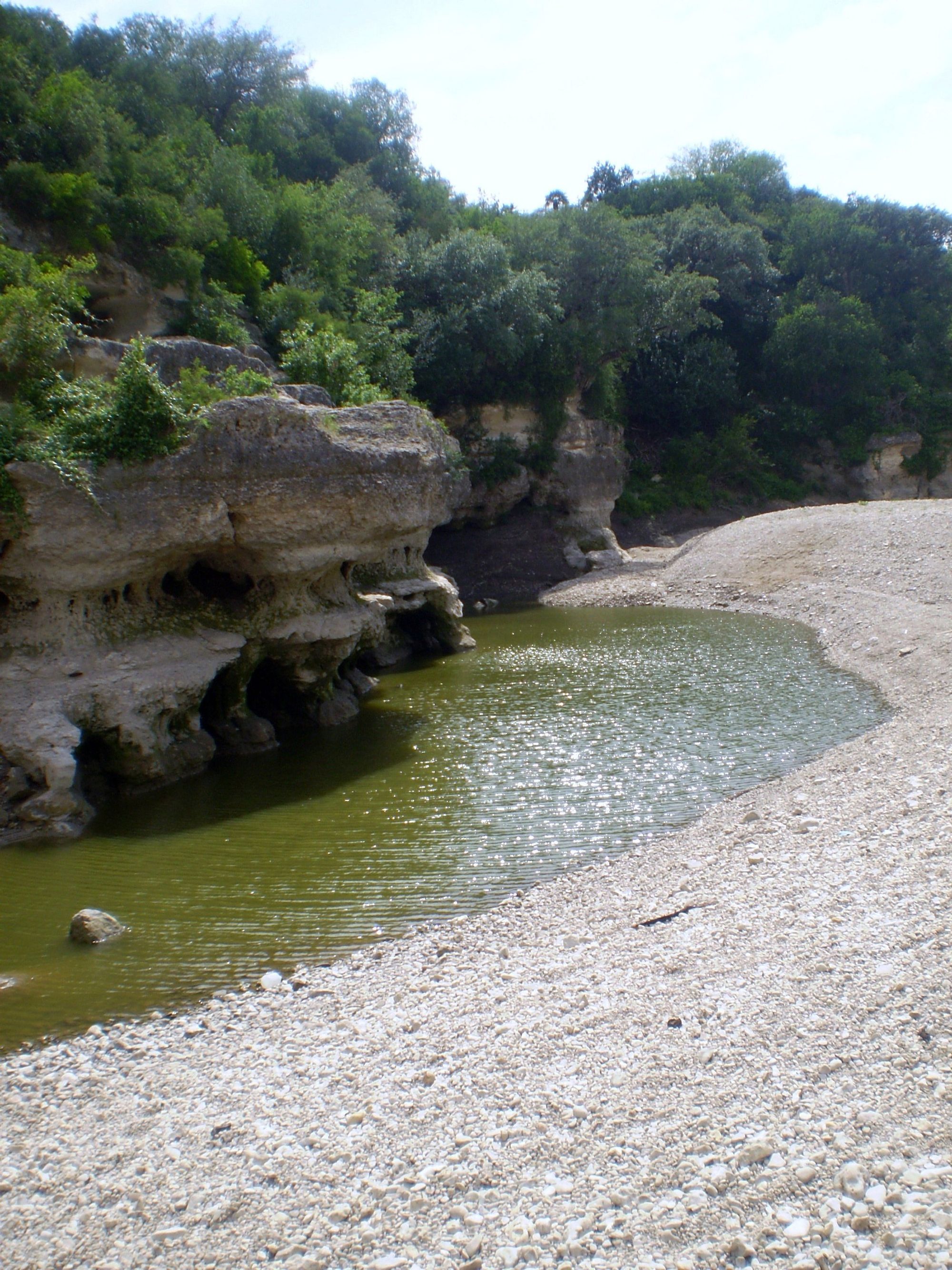
Cibolo Creek
Explore Texas waters
Top paddling waters
Popular Cities
Loading popular cities...
Explore near Blanco River
Access points
Nearby waters
More in Texas

Smarter Paddling Starts in the App.
Paddleways gives you everything you need to plan smarter, paddle better, and own every trip from first launch to takeout.