Guadalupe River
Guadalupe River
- Boat Ramps
- 64
- Access Points
- 70
- Campsites
- 12
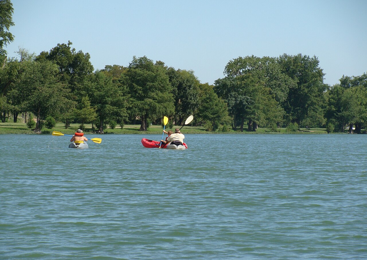
The Guadalupe River, a crown jewel of Texas waterways, flows for approximately 230 miles from its headwaters in Kerr County through the scenic Texas Hill Country before emptying into the Gulf of Mexico. This diverse river offers a wide range of paddling experiences, from serene flatwater sections to exciting whitewater rapids, making it a favorite destination for kayakers, canoeists, and tubers alike.
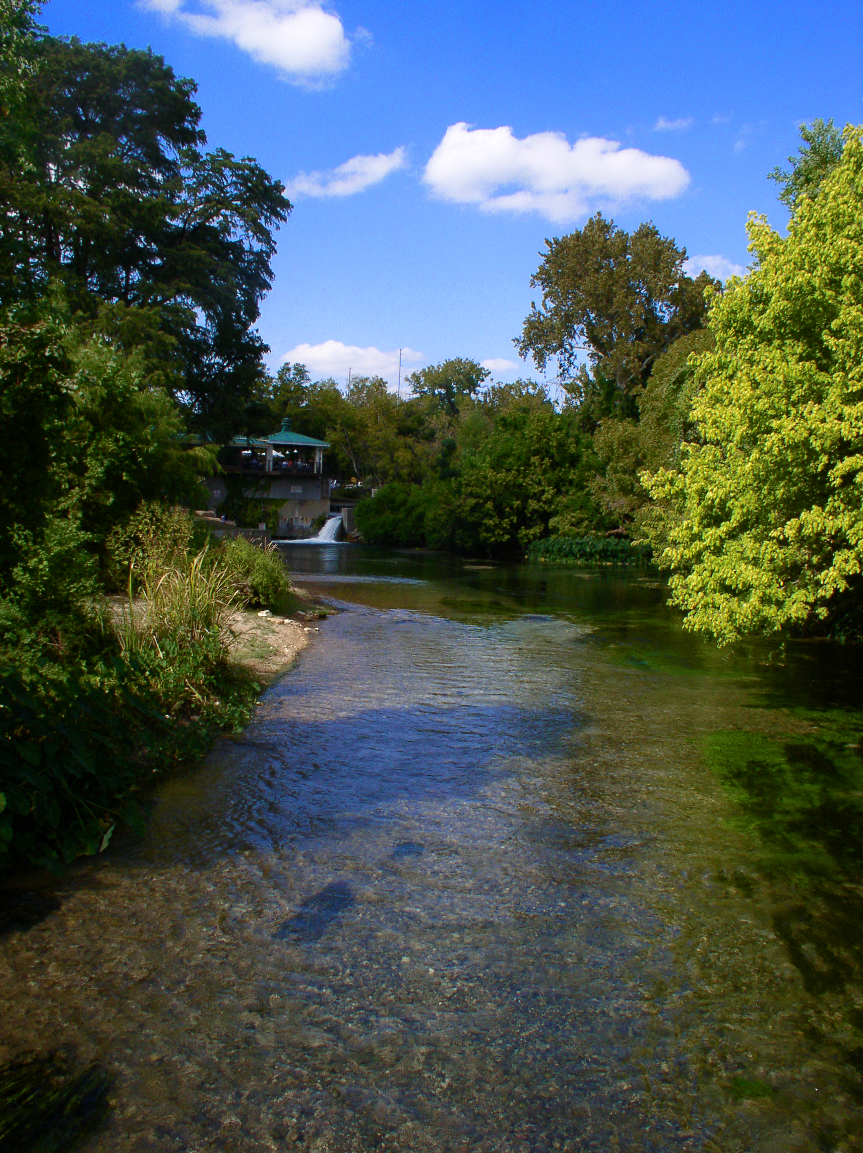
The Upper Guadalupe, stretching from Kerr County to Canyon Lake, is characterized by its clear spring-fed waters, limestone cliffs, and mature cypress trees. This section offers some of the most picturesque paddling in Texas, with the 9.9-mile Nichol's Landing Paddling Trail being a highlight. Here, paddlers can enjoy a mix of gentle rapids and calm stretches, perfect for beginners and intermediate paddlers alike. The Upper Guadalupe is less crowded than lower sections, providing a more tranquil experience.
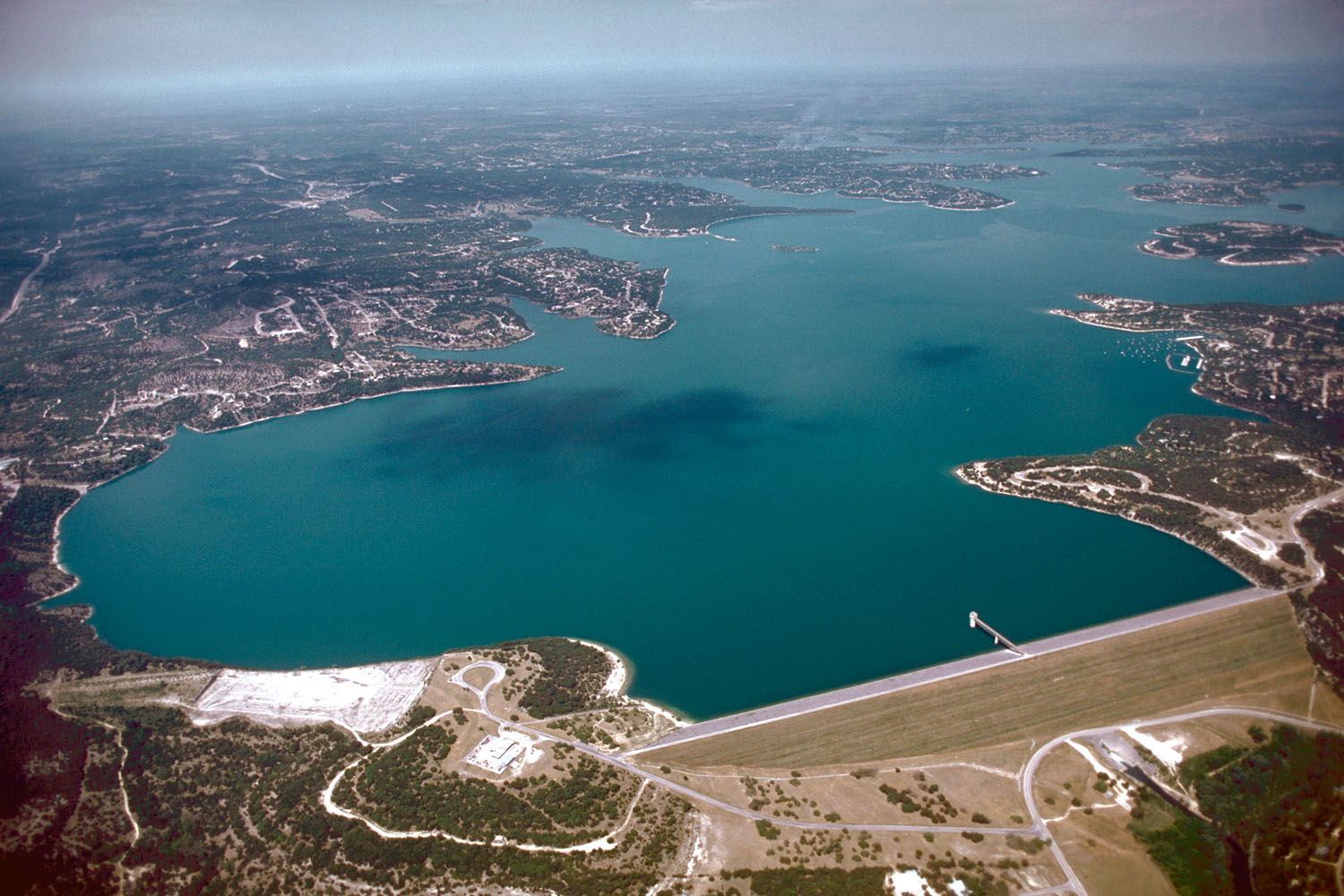
Below Canyon Lake, the Lower Guadalupe transforms into one of the most popular recreational areas in Texas. The 22-mile stretch from Canyon Dam to New Braunfels offers a mix of calm waters and exciting rapids, including notable features like Huaco Falls and Slumber Falls. This section is renowned for its tubing opportunities, especially during summer months, but can get quite crowded.
The Guadalupe's difficulty ranges from flatwater to Class III rapids, with some sections reaching Class V in high water conditions. This variety makes the river suitable for paddlers of all skill levels, from families and beginners to experienced whitewater enthusiasts. However, it's crucial to match your skill level to the appropriate section of the river.
While the Guadalupe can be paddled year-round, spring and early summer typically offer the best water levels. Summer is the peak season for recreational use, particularly for tubing. Fall and winter can provide excellent paddling conditions with fewer crowds, and the Lower Guadalupe below Canyon Dam is stocked with trout during cooler months, attracting fly fishing enthusiasts.
The river's ecosystem supports a diverse array of wildlife, including white-tailed deer, wild turkeys, and various bird species. The cypress-lined banks provide habitat for numerous aquatic species, and lucky paddlers might spot river otters or beavers.
Several towns along the river offer access points and services for paddlers. New Braunfels, Gruene, and Seguin are popular destinations, each with its own charm and historical significance. The river played a crucial role in early Texas history, powering mills and supporting settlements.
Safety is paramount on the Guadalupe. Water levels can fluctuate rapidly, especially below Canyon Dam, where releases can significantly affect conditions. Always check current flow rates and weather forecasts before your trip. Be aware of low-head dams and other potential hazards, and always wear a life jacket.
For those seeking a multi-day adventure, the Lower Guadalupe offers several options. A popular trip is the 25-30 mile stretch from Cuero to Victoria, which typically takes 1-2 days and offers a more secluded paddling experience through the coastal plains.
The Guadalupe River is not just a recreational resource; it's a vital part of Texas' natural heritage. Whether you're seeking a peaceful float through the Hill Country or an adrenaline-pumping whitewater run, the Guadalupe offers a paddling experience for everyone, set against the backdrop of Texas' stunning landscapes.
Water access, boat ramps & amenities
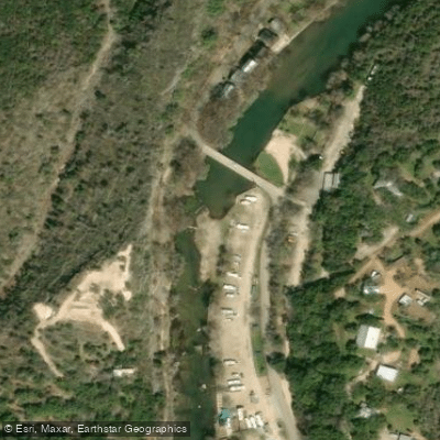
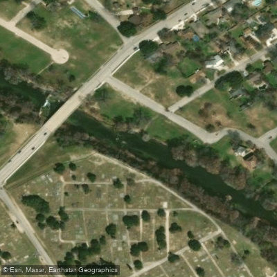
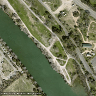
Learn how to get on Guadalupe River. Uncover great paddling access points, boat ramps, and all the facilities you need for an unforgettable day on the water. Some locations shown may border or include private property. Always check property boundaries and applicable regulations before visiting. PaddleWays's Public & Private Land layer can help you plan your access with confidence.
Paddle smarter with real-time insights
Whether you're en route and conditions shift or you're looking for the best spot based on current flows, we enable you to make informed decisions on the fly.








Find Places to Paddle

Over 400,000 Places to Paddle
Every user gets free access to launch points, boat ramps, and public property parcels.


Water and weather conditions (10 day forecast)
See the best times to paddle Guadalupe River and check the forecast before you go.
Guadalupe Rv nr Center Point, TX
All Flow Stations
Paddling near Guadalupe River
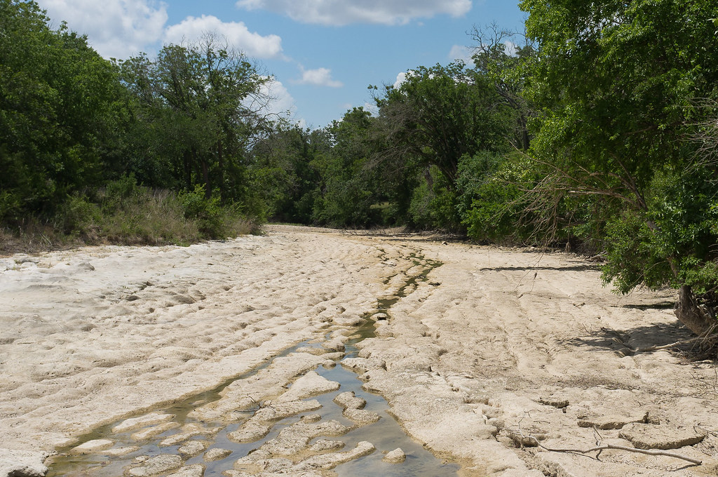
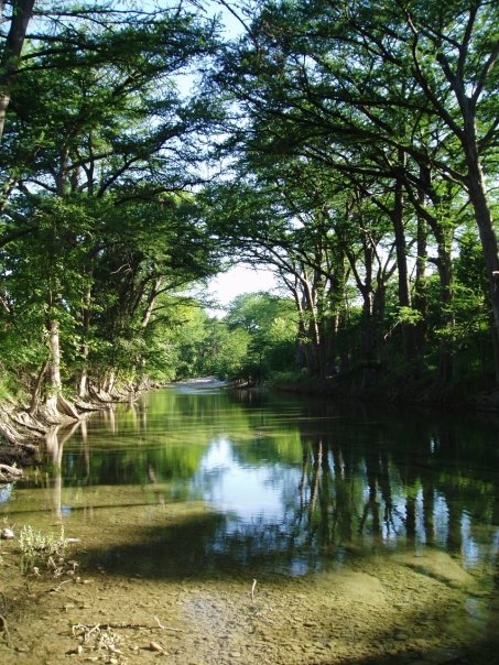
Explore Texas waters
Top paddling waters
Popular Cities
Loading popular cities...
Explore near Guadalupe River
Access points
- Guadalupe River Boat Ramp
- Guadalupe River Boat Ramp
- Guadalupe River Boat Ramp
- Mill Dam Bridge Boat Ramp
- Guadalupe River Boat Ramp
- Ranch Road 1350 Bridge Boat Ramp
- Guadalupe River Boat Ramp
- Ammans Crossing Boat Ramp
- Cypress Bend Park Boat Ramp
- Guadalupe River Boat Ramp
- Center Pt River Road Boat Ramp
- Loop 337 Bridge Boat Ramp
- All 108 spots
Nearby waters
More in Texas

Smarter Paddling Starts in the App.
Paddleways gives you everything you need to plan smarter, paddle better, and own every trip from first launch to takeout.