Curated by PaddleWays
RouteClass II
- Distance
- 4.7 mi
- Paddle time
- ~1.5 hrs
- Best for
- Kayak
- Put-in → take-out
- FM 2169 → Kimble Country Road 320
Johnson Fork flows through Kimble County in the Texas Hill Country, serving as a tributary to the Llano River system. This relatively short waterway carves through limestone terrain characteristic of the Edwards Plateau region, creating a compact but rewarding paddling experience in one of Texas's most geologically distinctive areas.
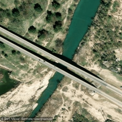
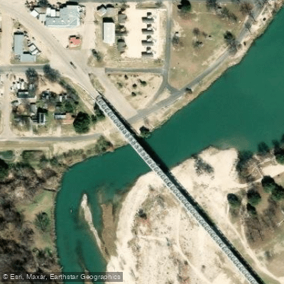
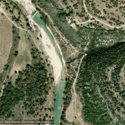
The primary paddling section runs 3.5 miles from FM 2169 to Kimble County Road 320, offering Class II whitewater that stands out among Texas rivers, which typically present easier conditions than waterways in other states. The put-in at FM 2169 (coordinates approximately 30.44666, -99.67723) provides access to this technical stretch, with the take-out at County Road 320 (coordinates approximately 30.49388, -99.67723). Given the brief distance, paddlers often make multiple runs, walking kayaks back to the put-in to maximize time on the water.
This section demands intermediate paddling skills and an understanding of Class II whitewater navigation. The gradient and rock features create enough challenge for a solid workout while remaining accessible to paddlers with fundamental whitewater experience. The compact nature of the run makes it ideal for skill-building sessions rather than extended expeditions.
The nearest significant town is Junction, located in Kimble County, with Kerrville approximately 45 miles away serving as a regional hub with lodging options. Hotels in the area fill quickly during prime paddling season, requiring advance reservations. Camping facilities exist near the Johnson Fork area, allowing paddlers to extend their visits and explore other sections of the broader Llano River watershed.
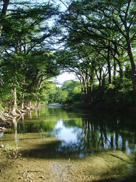
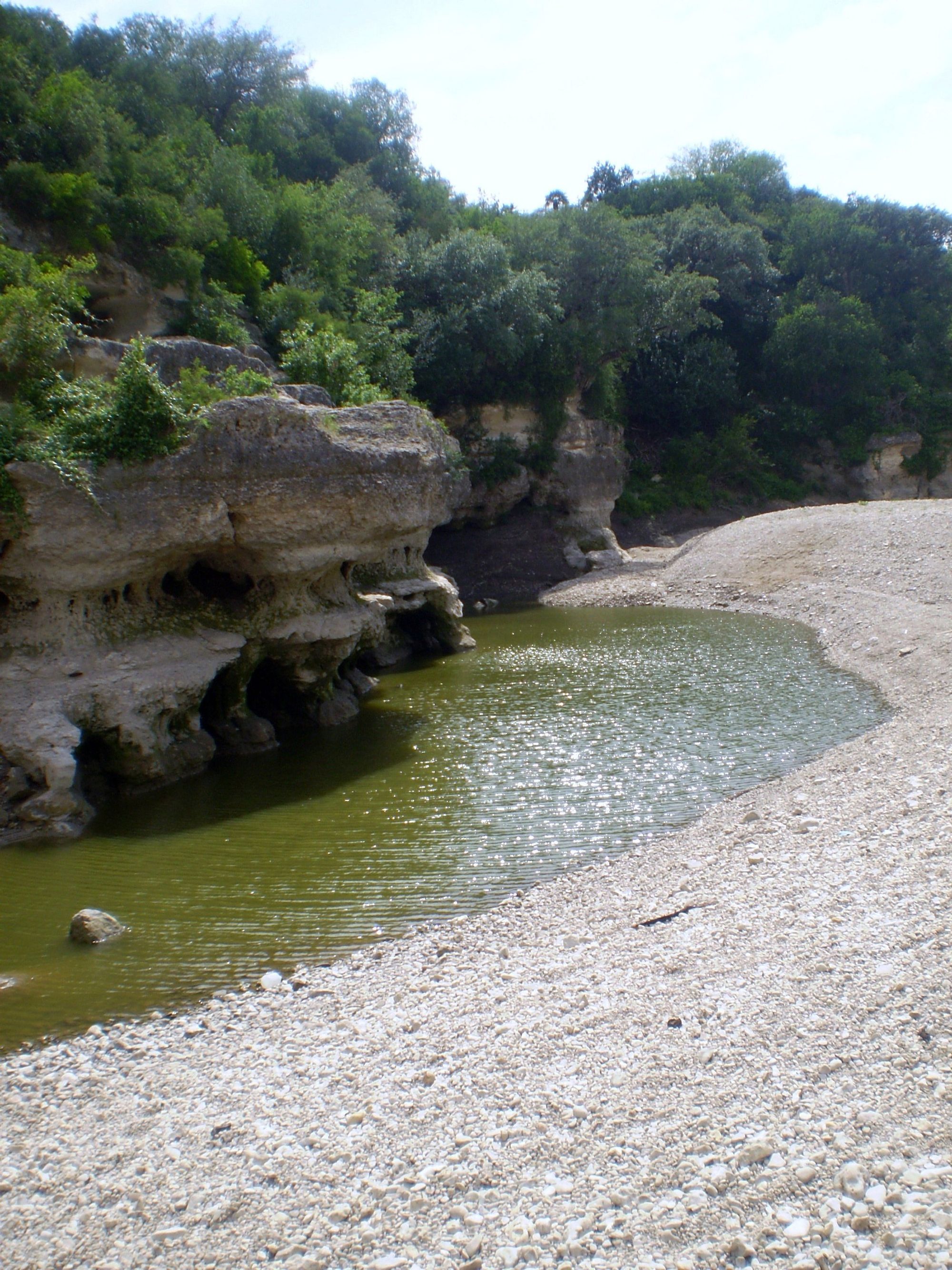
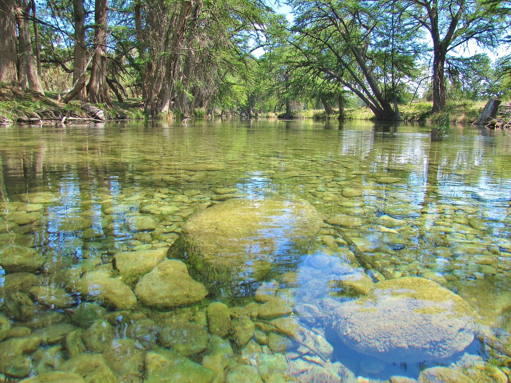
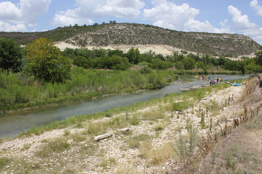
Johnson Fork flows within the South Llano River State Park vicinity, an area recognized for its natural beauty throughout the year. The Hill Country landscape features characteristic cedar and oak woodlands, with limestone bluffs rising above the waterway. The river system supports typical Central Texas aquatic species, though specific water clarity can vary with conditions.
The stretch's location within the greater Llano River system places it among several paddling options in Kimble County. Other nearby runs include sections of the main Llano River and the South Fork, providing variety for paddlers willing to explore the region. The area's reputation as "a true jewel of the Hill Country" extends to this tributary, which contributes to the Llano's popularity among canoeists and rafters.
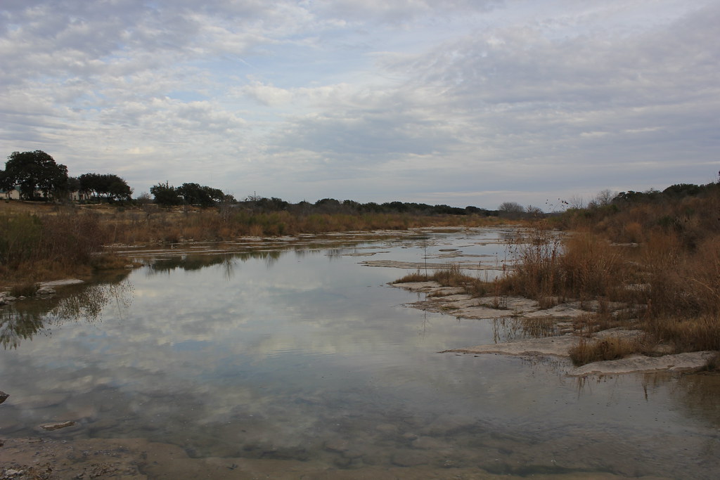
Access requires coordination with local landowners for certain put-in points, with day parking designated specifically for paddling trail use. Water levels fluctuate seasonally, with optimal conditions typically following sufficient rainfall to bring the creek up to runnable levels.
Curated routes
Hand-picked by the PaddleWays team, with put-ins, take-outs, paddle times and the hazards along the way.
RouteClass II
Hazards
No paddler has reported a hazard here yet, so these are the dams, falls and big rapids on our map. Hazards change with flows and storms, so check them before you launch.
From the community
Nobody has shared a trip on Johnson Fork yet. Paddle it, then tell the next paddler how it went.
See exactly where the public can get on and off the river. Launch points and boat ramps are paired with PaddleWays' public land data so you know where you can legally land.
Public shoreline
0%of the river's shoreline is public
Most of the riverbank is private. Launch, land and camp only at public access points.
Flows, weather and a route-by-route verdict, so you know which stretch of the Johnson Fork is worth paddling today.
Live flows, marked hazards and fresh trip reports from paddlers who were just on the water, all in one place.





Every user gets free access to launch points, boat ramps, and public property parcels.
Loading popular cities...
PaddleWays gives you everything you need to plan smarter, paddle better, and own every trip from first launch to takeout.