Beaver River
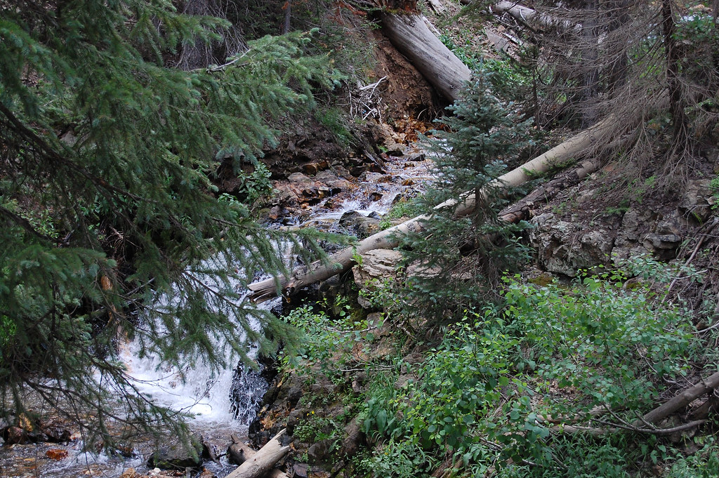
Beaver River
- Boat Ramps
- 0
- Access Points
- 14
- Campsites
- 10
The Beaver River is a scenic waterway located in southwestern Utah, originating high in the Tushar Mountains east of Beaver. It flows generally westward through Beaver County before joining the Sevier River near Milford. The river's main tributaries include North Creek and South Creek, which converge to form the mainstem Beaver River near the town of Beaver.
Paddling opportunities on the Beaver River are limited and seasonal due to its generally slow flow and low water levels for much of the year. The most reliable section for paddling is the upper reach above Three Creeks Reservoir, where clear, rushing mountain streams offer excellent fly fishing for wild trout in the summer months. This upper section provides Class II whitewater suitable for intermediate paddlers when flows are adequate, typically in late spring during snowmelt.
Below Three Creeks Reservoir, the river slows considerably as it meanders through agricultural lands. While not ideal for whitewater, the lower sections can offer peaceful flatwater paddling experiences when water levels permit, usually in spring and early summer. Canoes and kayaks are the most suitable craft for exploring these calmer stretches.
The Beaver River and its surrounding ecosystem support diverse wildlife, including mule deer, elk, and various bird species. Cottonwood and willow trees line much of the riverbank, providing habitat and scenic beauty.
Key landmarks along the river include Three Creeks Reservoir, Minersville Reservoir, and the dramatic backdrop of the Tushar Mountains. Primary access points for paddling and fishing are located near the town of Beaver, with additional put-ins available at Three Creeks Reservoir and near Minersville. These access points are easily reached from Interstate 15, making the river relatively accessible for visitors.
Historically, the Beaver River played a crucial role in the settlement and development of Beaver County, providing water for irrigation and powering early mills. Today, it remains an important resource for local agriculture and recreation.
Safety considerations include checking water levels before paddling, as the river can become very shallow in drier months. Anglers and paddlers should be aware of private property boundaries along the river and obtain necessary permits.
While multi-day trips are not common due to the river's short length and variable conditions, day trips combining paddling and fishing are popular among outdoor enthusiasts. The Beaver River offers a unique opportunity to experience the diverse landscapes of southwestern Utah, from alpine headwaters to high desert valleys, making it a hidden gem for those seeking a less-traveled paddling destination in the region.
Water access, boat ramps & amenities
Learn how to get on Beaver River. Uncover great paddling access points, boat ramps, and all the facilities you need for an unforgettable day on the water. Some locations shown may border or include private property. Always check property boundaries and applicable regulations before visiting. PaddleWays's Public & Private Land layer can help you plan your access with confidence.
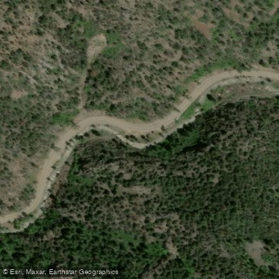
Highway 153 Fishing Access Site
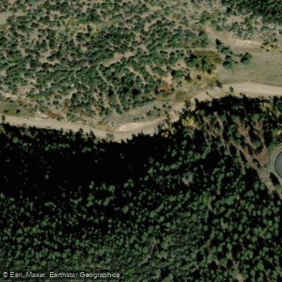
Highway 153 Fishing Access Site
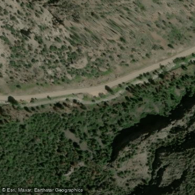
Highway 153 Fishing Access Site
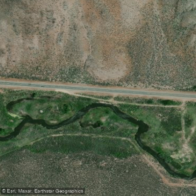
Hwy 21 Access
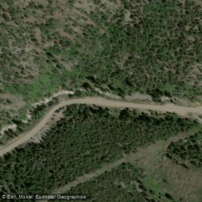
Highway 153 Fishing Access Site
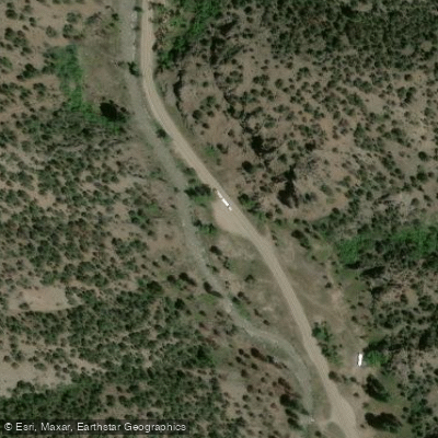
Highway 153

Highway 153 Fishing Access Site
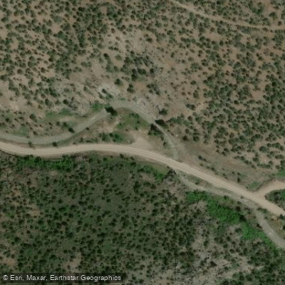
Highway 153 Fishing Access Site
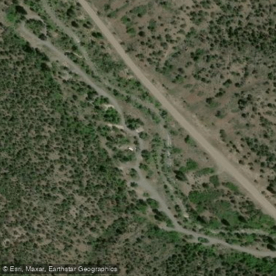
Little Cottonwood Rec Site Fishing Access Site
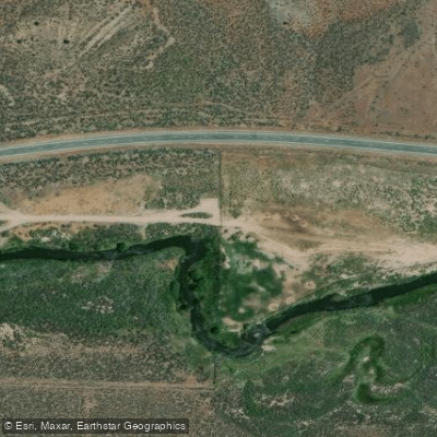
Walk-In Access
Paddle smarter with real-time insights
Whether you're en route and conditions shift or you're looking for the best spot based on current flows, we enable you to make informed decisions on the fly.








Find Places to Paddle

Over 400,000 Places to Paddle
Every user gets free access to launch points, boat ramps, and public property parcels.


Water and weather conditions (10 day forecast)
See the best times to paddle Beaver River and check the forecast before you go.
BEAVER RIVER NEAR BEAVER, UT
Paddling near Beaver River
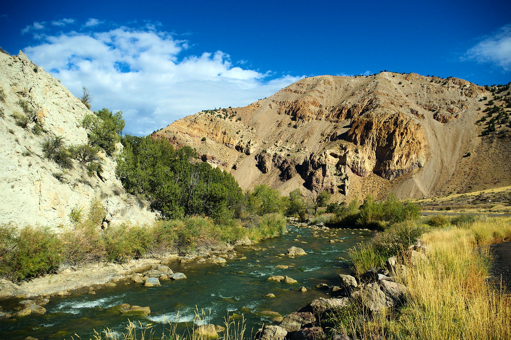
Sevier River
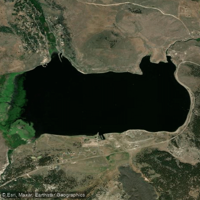
Panguitch Lake
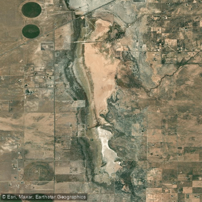
Quichapa Lake
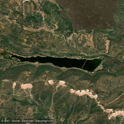
Navajo Lake
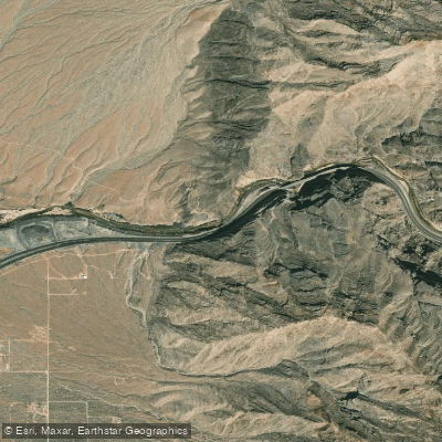
Virgin River
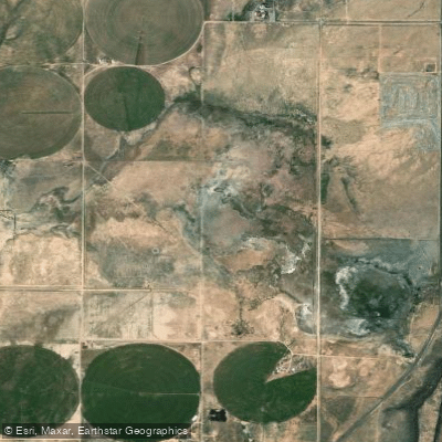
Rush Lake
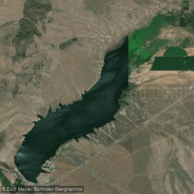
Minersville Reservoir
North Fork Virgin River
Kanab Creek
Explore Utah waters
Top paddling waters
Popular Cities
Loading popular cities...
Explore near Beaver River
Access points
- Highway 153 Fishing Access Site
- Highway 153 Fishing Access Site
- Highway 153 Fishing Access Site
- Hwy 21 Access
- Highway 153 Fishing Access Site
- Highway 153
- Highway 153 Fishing Access Site
- Highway 153 Fishing Access Site
- Little Cottonwood Rec Site Fishing Access Site
- Walk-In Access
- Little Cottonwood Trailhead
- Highway 153 Fishing Access Site
- All 25 spots
Nearby waters
More in Utah

Smarter Paddling Starts in the App.
Paddleways gives you everything you need to plan smarter, paddle better, and own every trip from first launch to takeout.