Panguitch Lake
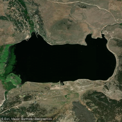
Panguitch Lake
- Boat Ramps
- 4
- Access Points
- 6
- Campsites
- 2
Panguitch Lake, located in southern Utah's Dixie National Forest, offers paddlers a scenic mountain lake experience at 8,212 feet elevation. The 1,234-acre lake features calm waters suitable for kayaking and canoeing. Two public boat ramps provide access - one on the south shore and another on the north shore at Wildlife Point.
Paddlers can explore numerous coves and inlets along the shoreline, taking in views of the surrounding ponderosa pine forest and rock formations. The lake is fed by three small inlet streams: Blue Springs Creek, Clear Creek, and Ipson Creek. Wildlife sightings may include deer and elk in the area.
Panguitch Lake is renowned for trout fishing, with rainbow, brook, cutthroat, and brown trout inhabiting its cool waters. Anglers and paddlers share the lake, so be aware of fishing activity. The lake's name comes from the Paiute word for "big fish," reflecting its long history as a fishery dating back to indigenous use.
Amenities include campgrounds, picnic areas, and a fish cleaning station near the lake. The nearby town of Panguitch Lake offers additional services. Boat rentals are available from local outfitters.
Water temperatures range from 25°F to 75°F throughout the year, with ice forming in winter. The lake is typically accessible from May through September, weather permitting. Paddlers should be prepared for mountain weather conditions and practice cold water safety.
While exploring Panguitch Lake, paddlers can take in views of the surrounding Markagunt Plateau and nearby attractions like Cedar Breaks National Monument, located 14 miles away.
Water access, boat ramps & amenities
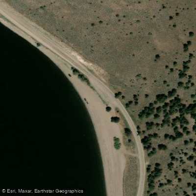
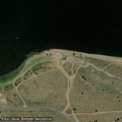
Learn how to get on Panguitch Lake. Uncover great paddling access points, boat ramps, and all the facilities you need for an unforgettable day on the water. Some locations shown may border or include private property. Always check property boundaries and applicable regulations before visiting. PaddleWays's Public & Private Land layer can help you plan your access with confidence.
Paddle smarter with real-time insights
Whether you're en route and conditions shift or you're looking for the best spot based on current flows, we enable you to make informed decisions on the fly.








Find Places to Paddle

Over 400,000 Places to Paddle
Every user gets free access to launch points, boat ramps, and public property parcels.


Water and weather conditions (10 day forecast)
See the best times to paddle Panguitch Lake and check the forecast before you go.
No forecast data available.
Paddling near Panguitch Lake
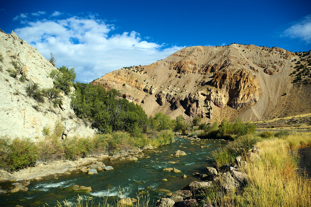
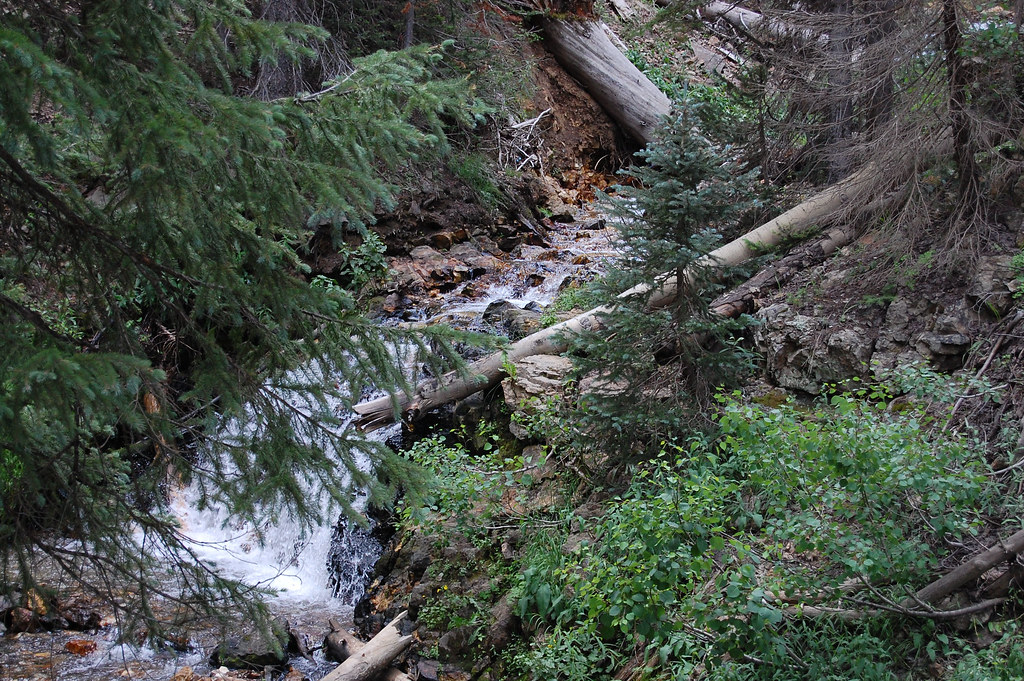
Sevier River
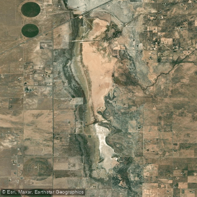
Beaver River
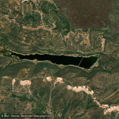
Quichapa Lake
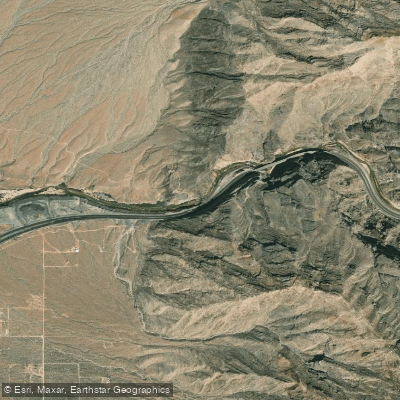
Navajo Lake
Virgin River
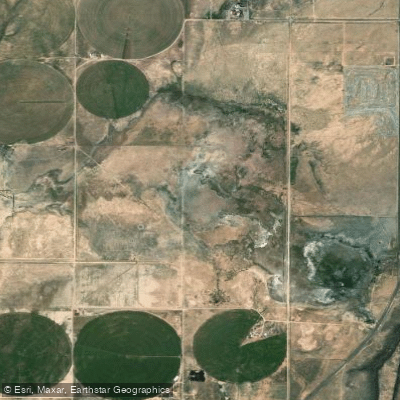
Rush Lake
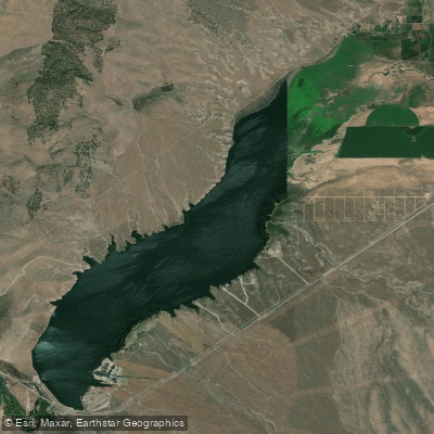
Minersville Reservoir
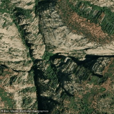
North Fork Virgin River
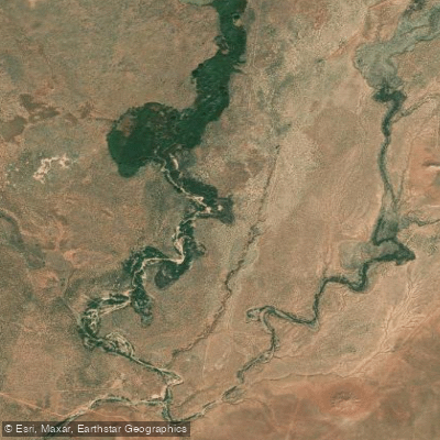
Kanab Creek
Explore Utah waters
Top paddling waters
Popular Cities
Loading popular cities...
Explore near Panguitch Lake
Access points
Nearby waters
More in Utah

Smarter Paddling Starts in the App.
Paddleways gives you everything you need to plan smarter, paddle better, and own every trip from first launch to takeout.