Jordan River
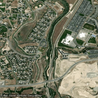
Jordan River
- Boat Ramps
- 1
- Access Points
- 12
- Campsites
- 0
The Jordan River in Utah offers a unique urban paddling experience, flowing approximately 51 miles from Utah Lake to the Great Salt Lake. This slow-moving waterway meanders through the heart of the Salt Lake Valley, providing a stark contrast between natural beauty and urban development. The river is primarily flatwater, making it suitable for beginners and leisurely paddlers. However, more experienced paddlers can find enjoyment in longer stretches or multi-day trips covering the entire length.
The river is divided into several popular sections, each offering its own character and scenery. Starting from Utah Lake, paddlers can embark on the full 51-mile journey, though most opt for shorter day trips. The upper section from Inlet Park to Porter's Landing offers a pleasant paddle through less developed areas. Moving downstream, the Taylorsville section provides a 3-5 mile urban paddle, popular among locals. Further north, the stretch from Millrace Park to 3300 South includes some man-made rapids near the take-out, adding a touch of excitement for more adventurous paddlers.
The Jordan River is best paddled from late spring through early fall when water levels are optimal and temperatures are comfortable. During these months, paddlers can observe a variety of wildlife, including numerous bird species that call the river corridor home. The Jordan River Migratory Bird Reserve, located near the river's northern reaches, is a particular highlight for birdwatchers.
Several parks and access points dot the river's course, including Jordan River Rotary Park, Millrace Park, and the newly developed Pioneer Crossing Regional Park. These areas provide convenient put-in and take-out locations, often equipped with parking, restrooms, and other amenities.
The river holds significant historical and cultural importance, named after its Middle Eastern counterpart due to its similar flow from a freshwater to a saltwater lake. Today, it serves as a vital recreational resource for the communities it passes through, with ongoing efforts to improve water quality and enhance the surrounding parklands.
Safety is a key consideration when paddling the Jordan River. While generally calm, paddlers should be aware of potential hazards such as low-hanging branches, submerged obstacles, and the occasional man-made structure. It's advisable to check water conditions and any local advisories before setting out.
For those seeking a multi-day adventure, the full length of the Jordan River can be paddled in 2-3 days, with several access points allowing for customized trip planning. This journey offers a comprehensive experience of the river's changing character, from its more natural upper reaches to the urban core of Salt Lake City and beyond to the Great Salt Lake.
The Jordan River Water Trail initiative has been working to improve signage, access points, and overall paddling infrastructure along the river. This ongoing project aims to make the river more accessible and enjoyable for paddlers of all skill levels, further cementing the Jordan River's place as a unique urban paddling destination in the heart of Utah.
Water access, boat ramps & amenities
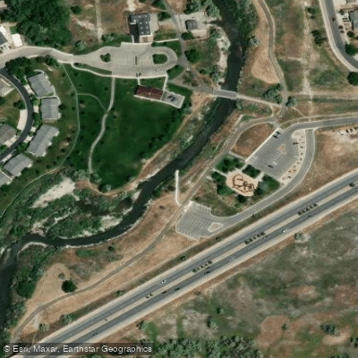
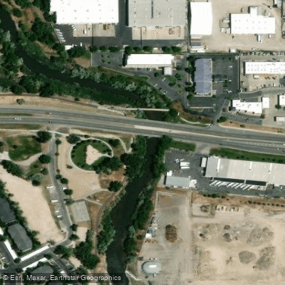
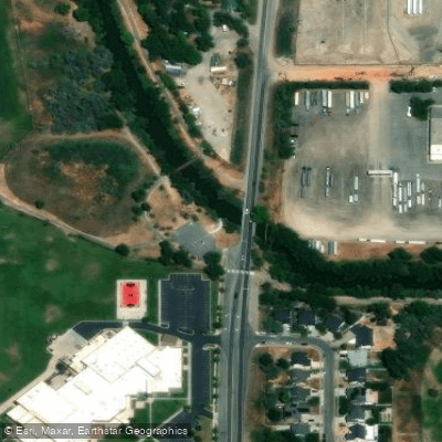
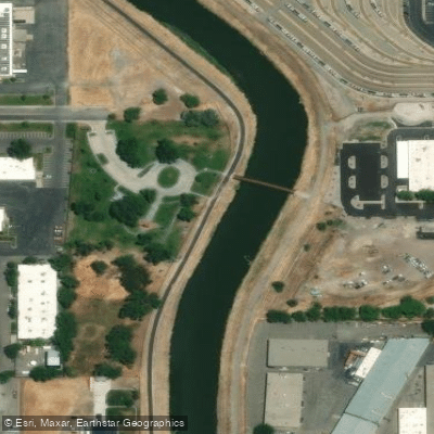
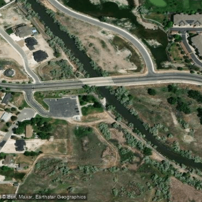
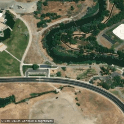
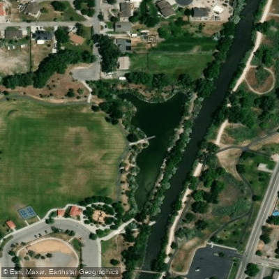
Learn how to get on Jordan River. Uncover great paddling access points, boat ramps, and all the facilities you need for an unforgettable day on the water. Some locations shown may border or include private property. Always check property boundaries and applicable regulations before visiting. PaddleWays's Public & Private Land layer can help you plan your access with confidence.
Paddle smarter with real-time insights
Whether you're en route and conditions shift or you're looking for the best spot based on current flows, we enable you to make informed decisions on the fly.








Find Places to Paddle

Over 400,000 Places to Paddle
Every user gets free access to launch points, boat ramps, and public property parcels.


Water and weather conditions (10 day forecast)
See the best times to paddle Jordan River and check the forecast before you go.
SURPLUS CANAL @ SALT LAKE CITY, UT
All Flow Stations
Paddling near Jordan River
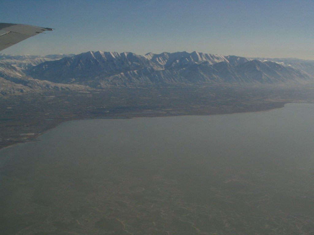
Utah Lake
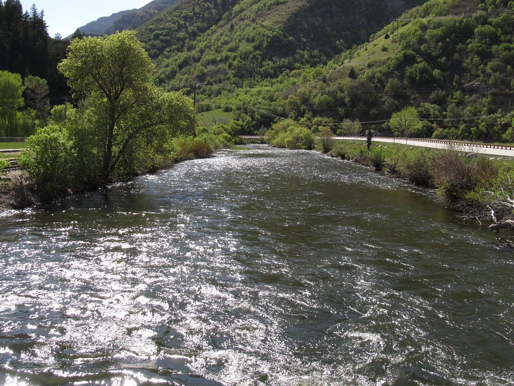
Provo River
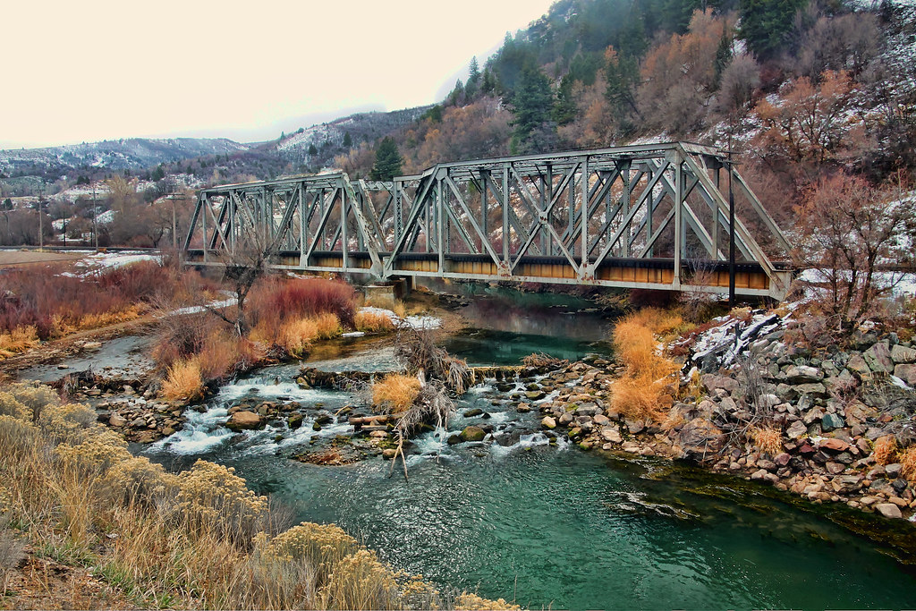
Weber River
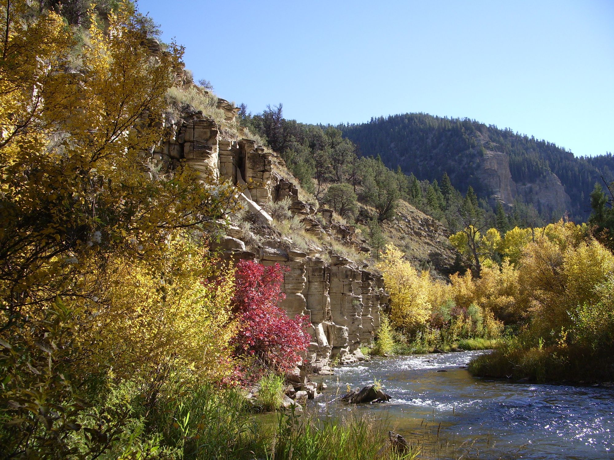
Strawberry River
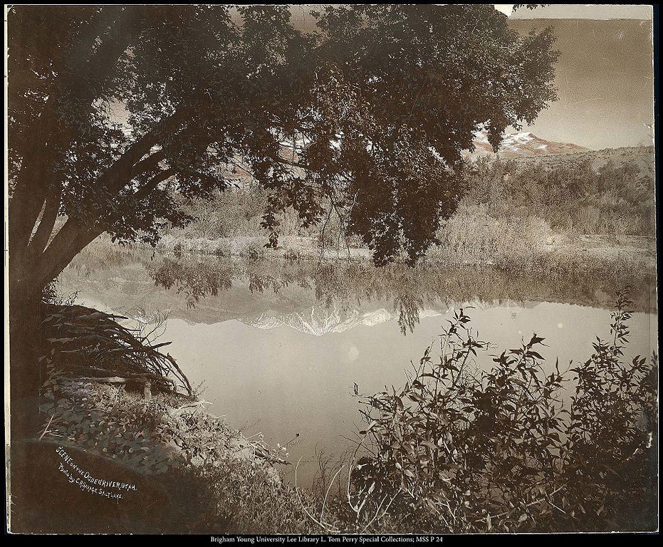
Ogden River
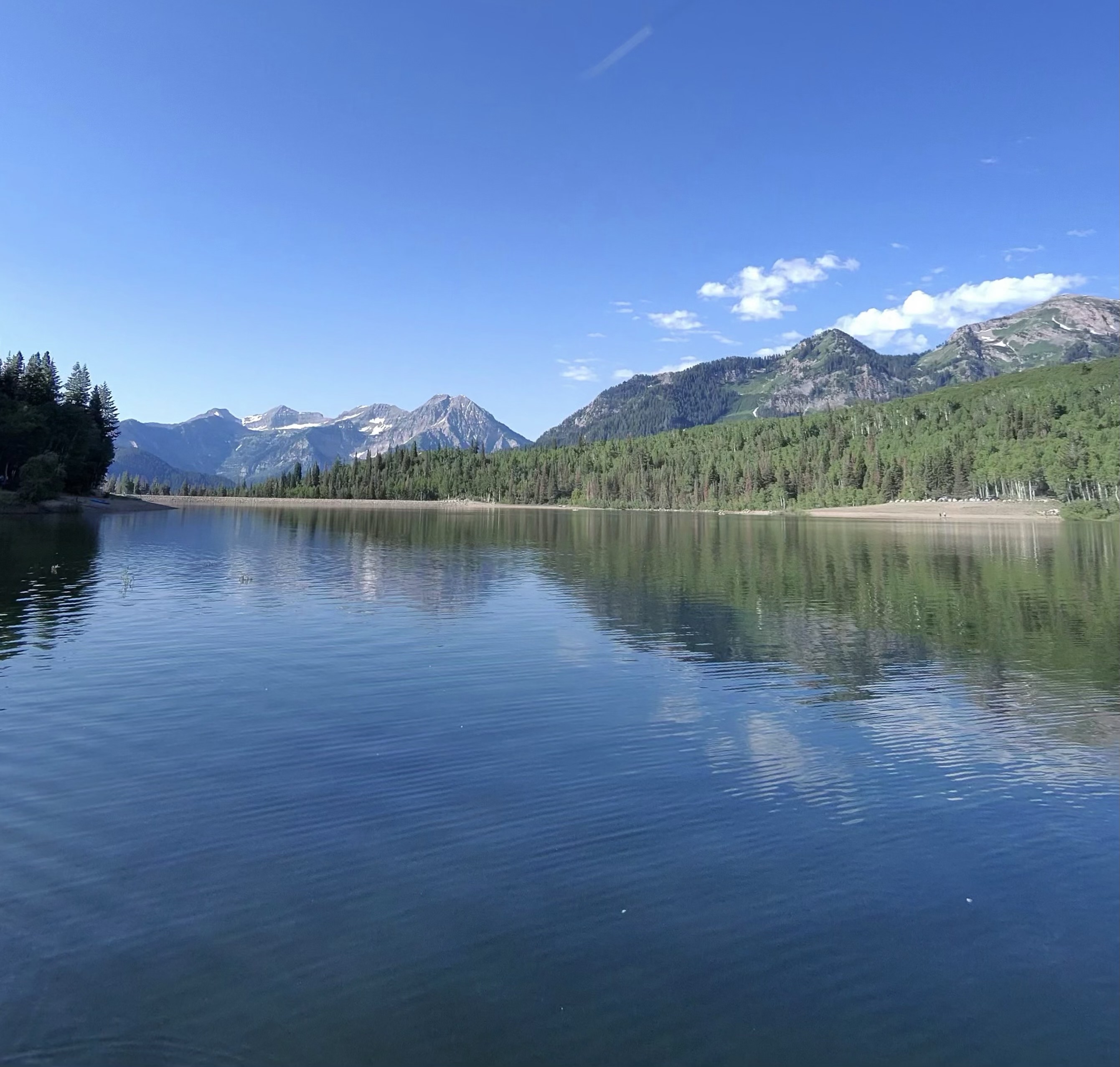
Silver Lake Flat Reservoir
Tibble Fork Reservoir
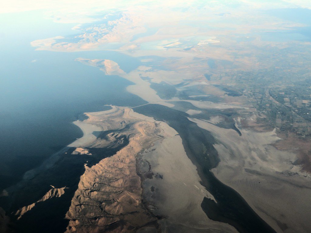
Great Salt Lake
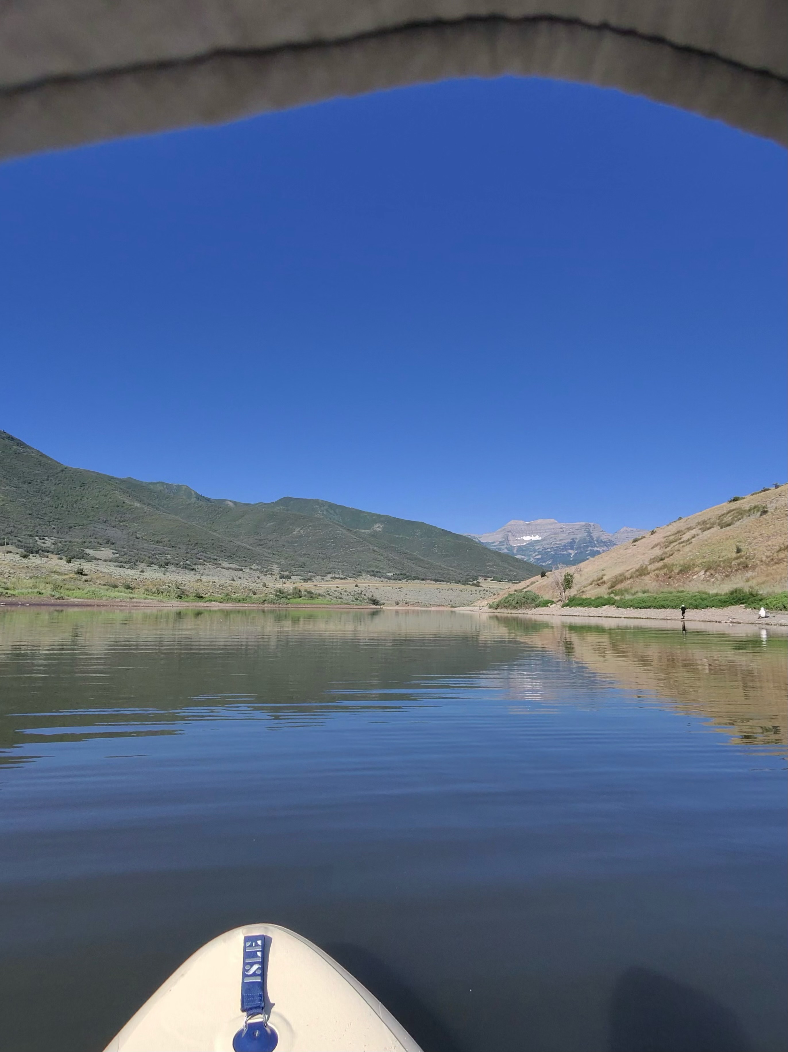
Deer Creek Reservoir
Explore Utah waters
Top paddling waters
Popular Cities
Loading popular cities...
Explore near Jordan River
Access points
Nearby waters
More in Utah

Smarter Paddling Starts in the App.
Paddleways gives you everything you need to plan smarter, paddle better, and own every trip from first launch to takeout.