Nehalem River
Nehalem River
- Boat Ramps
- 5
- Access Points
- 13
- Campsites
- 12
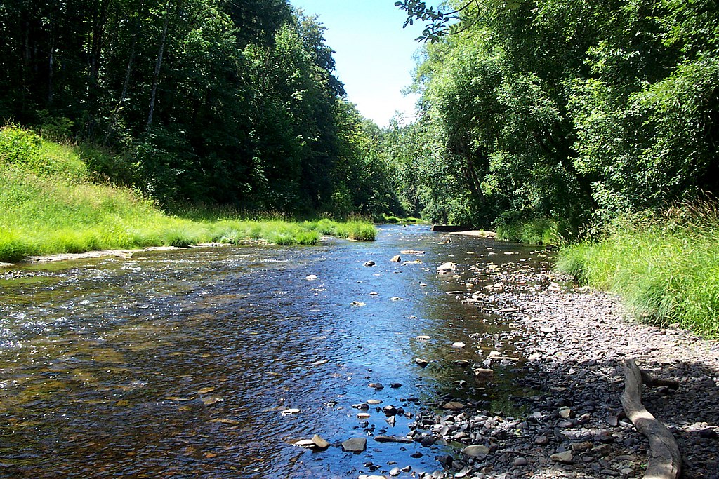
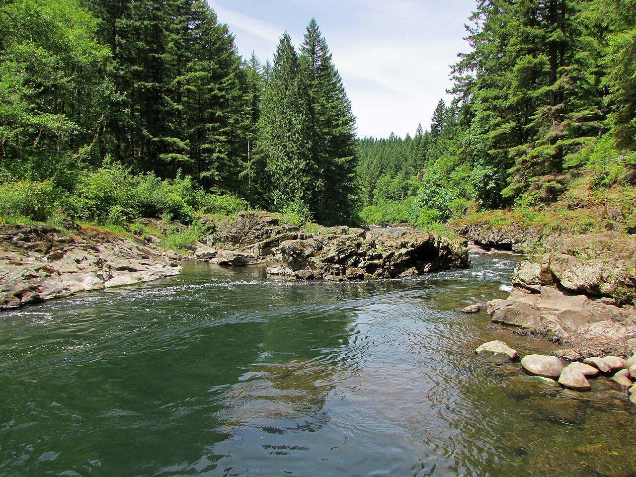
The Nehalem River originates in the northern Coast Range of Oregon and flows approximately 118 miles through dense forests and pastoral valleys before emptying into Nehalem Bay and the Pacific Ocean. The river system drains a 855-square-mile watershed primarily within Tillamook and Clatsop Counties, with portions extending into Columbia and Washington Counties. The mainstem begins in the Tillamook State Forest and flows generally northwest, joined by major tributaries including the North Fork Nehalem, Salmonberry River, and Cook Creek.
Paddling opportunities span the full spectrum from technical whitewater to tranquil flatwater. The upper reaches from Henry Rierson Spruce Run Campground through Nehalem Falls feature Class II-IV rapids suitable only for experienced whitewater boaters, including the notorious "Salmonberry Drop" below the Salmonberry River confluence. The middle section from Roy Creek to Nehalem offers Class I-II water with minor riffles, ideal for intermediate paddlers. The lower river from Nehalem to Wheeler and throughout Nehalem Bay provides excellent flatwater paddling for beginners, though tidal influences require careful trip planning. The North Fork Nehalem presents its own character, flowing from the Coast Range through forested canyons before joining the mainstem near Nehalem. The stretch from Aldervale to Nehalem offers 5.5 miles of scenic flatwater paddling through a spruce swamp ecosystem.
Winter and spring bring peak flows from November through May, with the river being primarily rain-fed. Summer and fall offer lower, clearer water ideal for flatwater exploration, though some upper sections may require portaging during drought conditions.
Steelhead and salmon runs occur from late summer through spring, with Chinook, Coho, Chum salmon, Winter Steelhead, and Cutthroat Trout all utilizing the system. Wildlife includes Roosevelt elk on bay islands, Great Blue Heron rookeries along the river, Bald Eagles nesting near the estuary, and Pacific Harbor Seals in tidal waters. The riparian corridor features Douglas fir, Western Hemlock, Western Red Cedar, Sitka Spruce, and Red Alder, with understory species including salmonberry and sword fern.
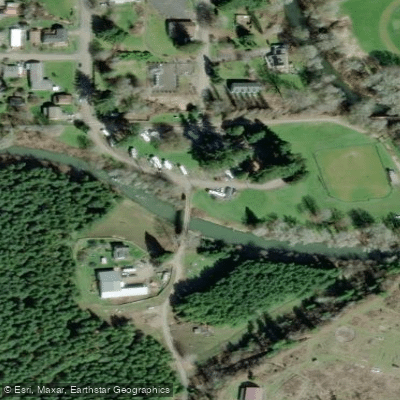
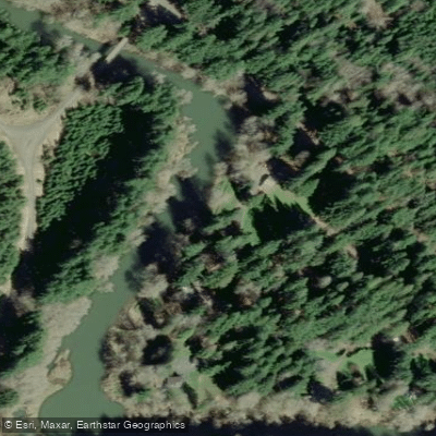
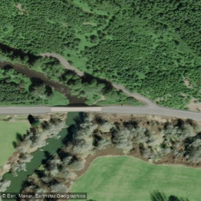
Major access points include Henry Rierson Spruce Run Campground, Nehalem Falls Campground, Morrison Eddy, Roy Creek County Boat Ramp, Nehalem Camp, Aldervale County Boat Ramp, Nehalem City Docks, Wheeler Marina, and Nehalem Bay State Park. The communities of Nehalem and Wheeler provide services and amenities.
The Nehalem people historically inhabited the watershed for thousands of years, utilizing extensive canoe networks for transportation and subsistence. European settlement in the mid-1800s established timber, fishing, and dairy industries that continue today. The railroad corridor along the lower river facilitated early 20th-century commerce.
Cold water temperatures year-round pose hypothermia risks. Tidal currents in the bay and lower river can strengthen significantly, particularly on outgoing tides. Afternoon winds commonly create challenging conditions on open water. The Nehalem Falls rapid requires mandatory scouting or portage. All property along the river is private except designated public access points.
Multi-day trips are feasible using Morrison Eddy and Nehalem Falls campgrounds in the upper watershed, or combining river and bay paddling with camping at Nehalem Bay State Park.
Water access, boat ramps & amenities
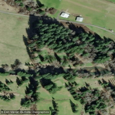
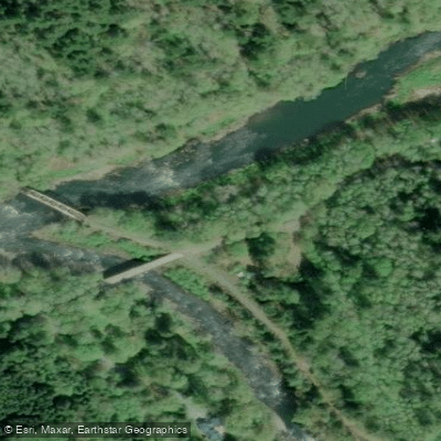
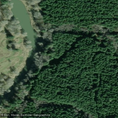
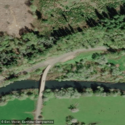
Learn how to get on Nehalem River. Uncover great paddling access points, boat ramps, and all the facilities you need for an unforgettable day on the water. Some locations shown may border or include private property. Always check property boundaries and applicable regulations before visiting. PaddleWays's Public & Private Land layer can help you plan your access with confidence.
Paddle smarter with real-time insights
Whether you're en route and conditions shift or you're looking for the best spot based on current flows, we enable you to make informed decisions on the fly.








Find Places to Paddle

Over 400,000 Places to Paddle
Every user gets free access to launch points, boat ramps, and public property parcels.


Water and weather conditions (10 day forecast)
See the best times to paddle Nehalem River and check the forecast before you go.
NEHALEM RIVER NEAR VERNONIA, OR
All Flow Stations
Paddling near Nehalem River

Columbia River
Cowlitz River
Dibblees Beach
Kalama River
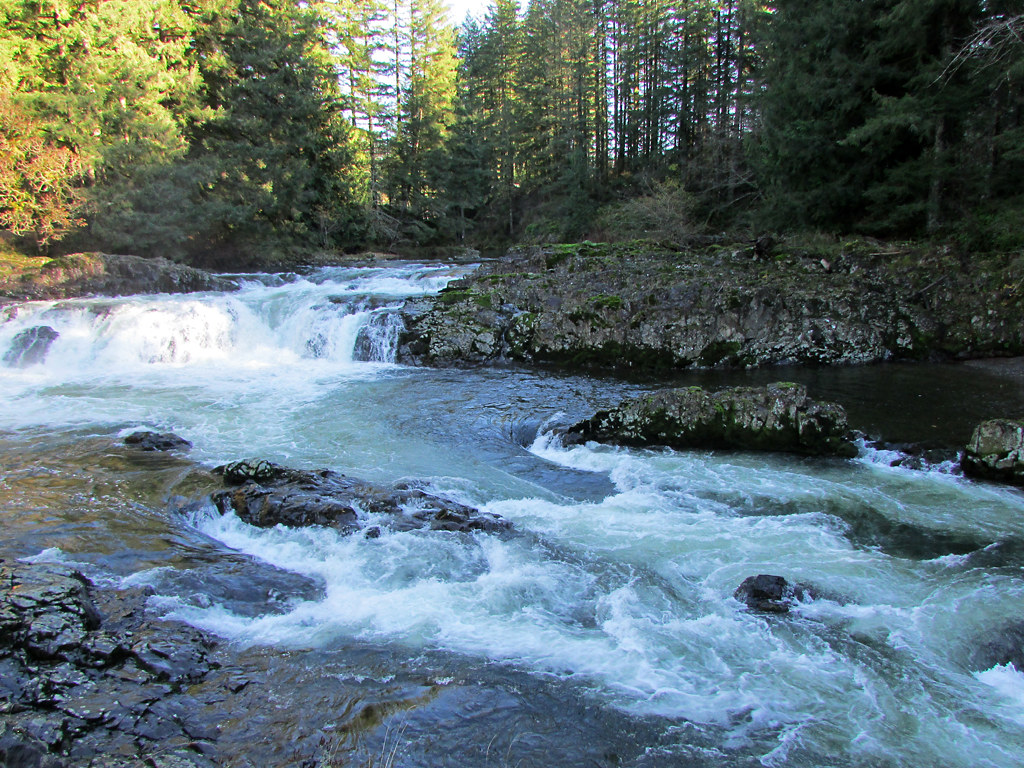
Lewis River
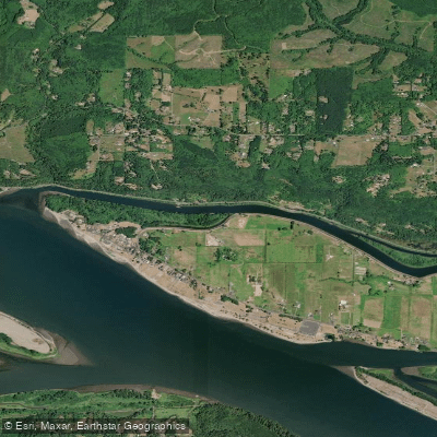
Coal Creek Slough
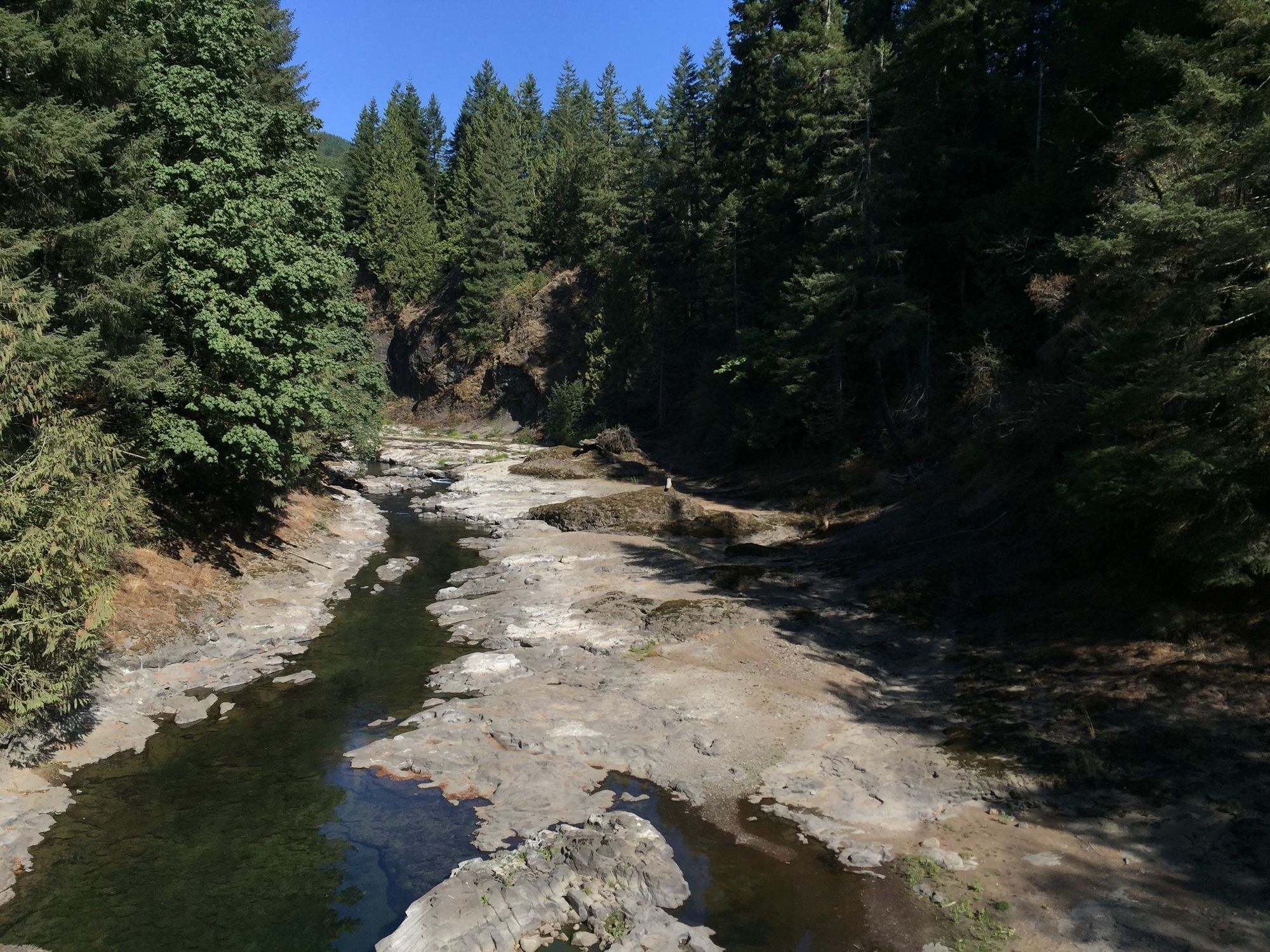
Chehalis River
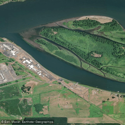
Bradbury Slough
East Fork Lewis River
Explore Oregon waters
Top paddling waters
Popular Cities
Loading popular cities...
Explore near Nehalem River
Access points
Nearby waters
More in Oregon

Smarter Paddling Starts in the App.
Paddleways gives you everything you need to plan smarter, paddle better, and own every trip from first launch to takeout.