Bradbury Slough
- Saltwater
- Sea area
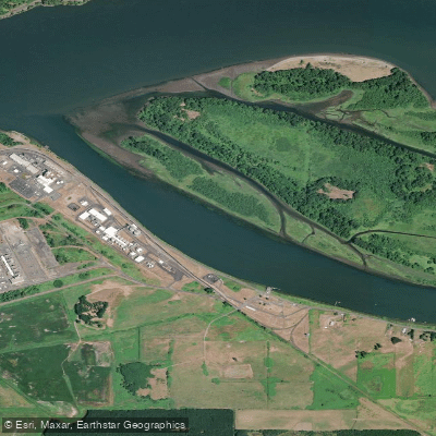
Bradbury Slough
- Saltwater
- Sea area
- Sq. miles
- 0.3
- Boat Ramps
- 0
- Access Points
- 0
- Campsites
- 0
Bradbury Slough is a coastal slough on the Columbia River near Longview, Washington, and is part of a complex of islands including Crims and Gull Islands. It is a saltwater feature with a tidal range that can exceed five feet, making tide planning essential. The slough is accessible from several launch points, with Willow Grove Park near Longview being a frequently used put-in and take-out. Another access point is the Abernathy Creek Boat Ramp in Washington, which requires crossing the main shipping channel. Paddling here involves navigating significant currents, with speeds noted around two knots, and careful timing with the tides is required to gain current assistance. The area is exposed to wind and weather from the west, which can create chop, though the interior sloughs offer sheltered conditions. A major hazard is commercial shipping traffic in the main Columbia River channel, which must be crossed to reach the slough from northern launches. The slough itself is shallow in places, with a wing dam marked by a red daymark at its entrance; paddlers should watch their depth. The aesthetic is a mix of serene, sheltered back channels with sandy beaches and views of industrial development, including a small power plant. Wildlife sightings commonly include white pelicans, egrets, eagles, and ospreys. Primitive camping is available on nearby Quill Island. The slough is suitable for intermediate paddlers due to the currents, potential wind, and channel crossings, and can be paddled year-round with appropriate immersion protection, as water temperatures can be in the 30s (°F) in winter.
Water access, boat ramps & amenities
Learn how to get on Bradbury Slough. Uncover great paddling access points, boat ramps, and all the facilities you need for an unforgettable day on the water. Some locations shown may border or include private property. Always check property boundaries and applicable regulations before visiting. PaddleWays's Public & Private Land layer can help you plan your access with confidence.
Paddle smarter with real-time insights
Whether you're en route and conditions shift or you're looking for the best spot based on current flows, we enable you to make informed decisions on the fly.








Find Places to Paddle

Over 400,000 Places to Paddle
Every user gets free access to launch points, boat ramps, and public property parcels.


Tides, wind & water conditions (10 day forecast)
On open water, wind and tide matter as much as the weather. See the best times to paddle Bradbury Slough and check the marine forecast before you launch.
Loading tide predictions…
Paddling near Bradbury Slough

Columbia River
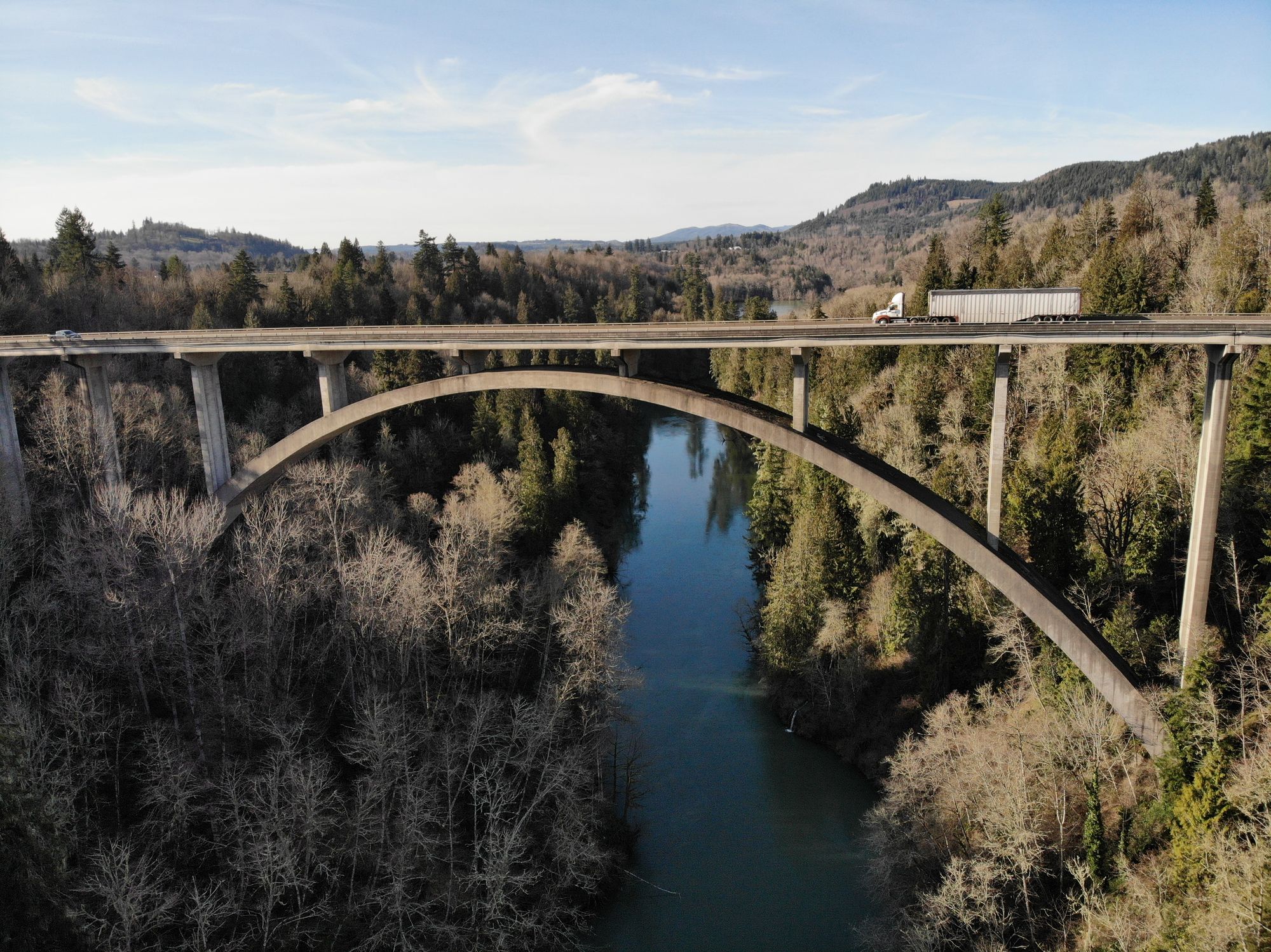
Cowlitz River
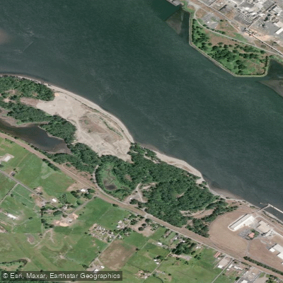
Dibblees Beach
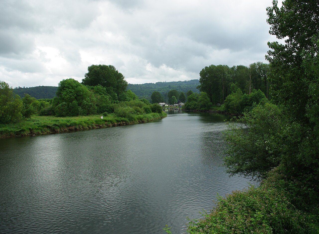
Kalama River
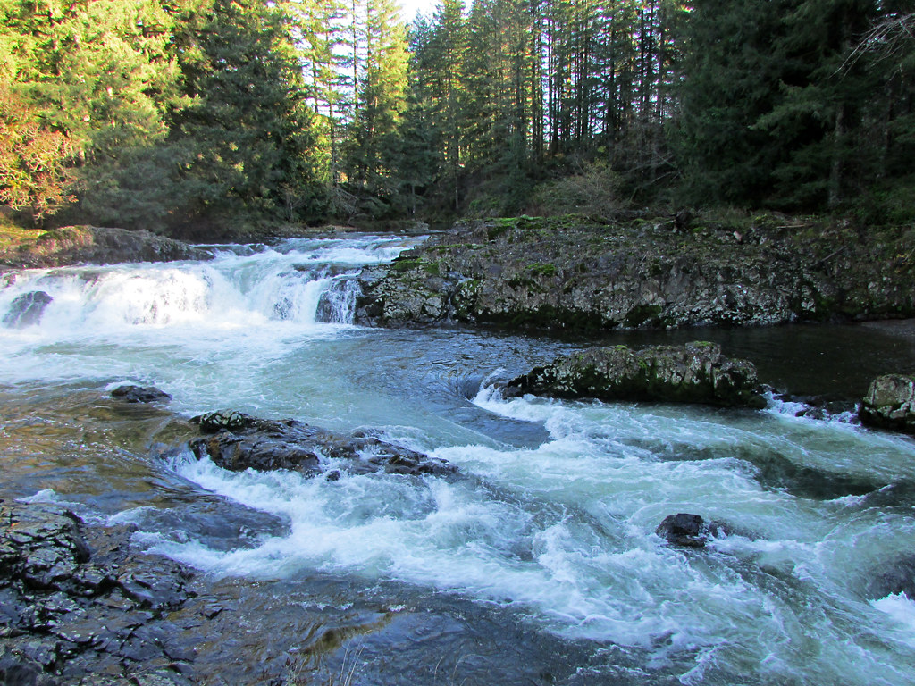
Lewis River
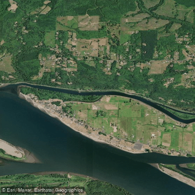
Coal Creek Slough
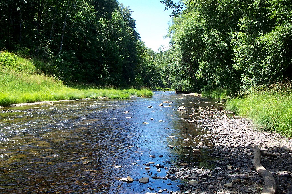
Nehalem River
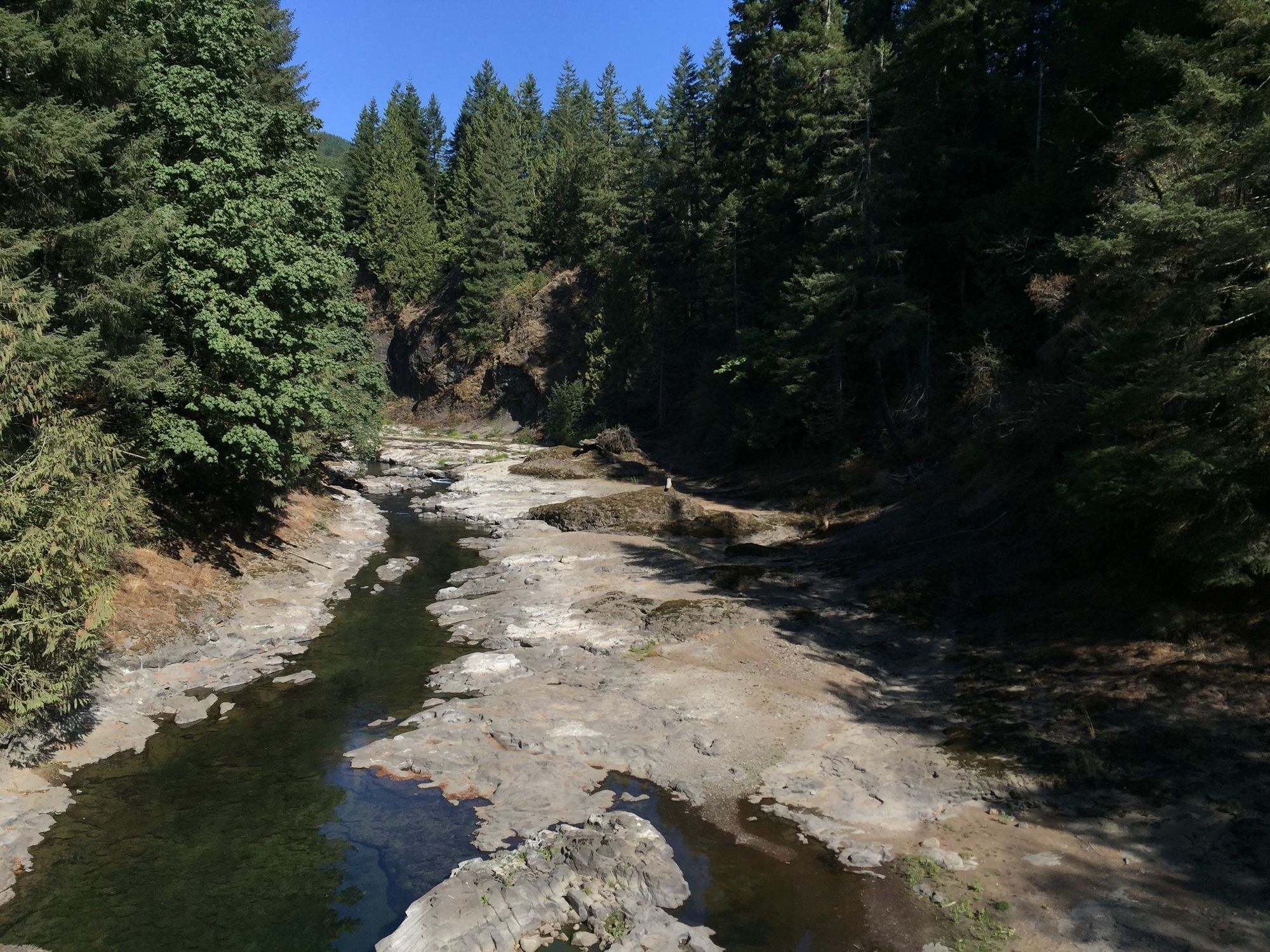
Chehalis River
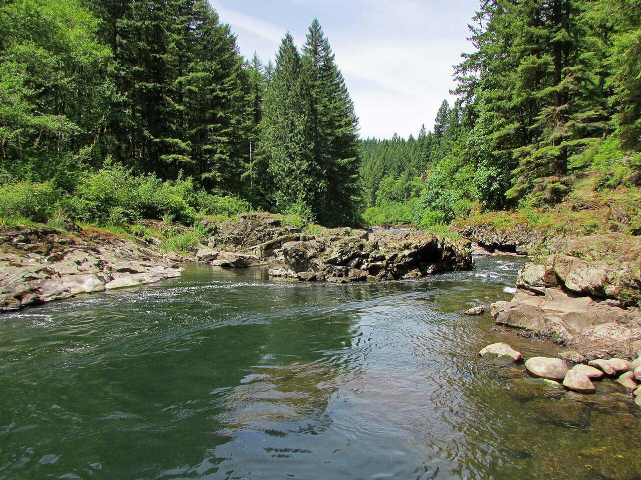
East Fork Lewis River
Explore Oregon waters
Top paddling waters
Popular Cities
Loading popular cities...
Explore near Bradbury Slough
Access points
Nearby waters
More in Oregon

Smarter Paddling Starts in the App.
Paddleways gives you everything you need to plan smarter, paddle better, and own every trip from first launch to takeout.