Fort Mill Ridge Access
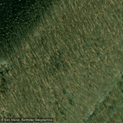
Fort Mill Ridge Access
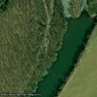
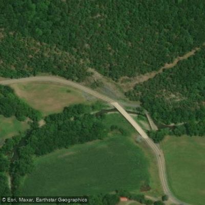
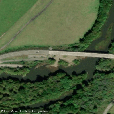
Fort Mill Ridge WMA offers a 217-acre access point to the South Branch Potomac River located two miles southwest of Romney via Core Road off U.S. Route 50.
The area features a carry-down boat access for paddlers and anglers, with elevations ranging from 680 to 1,100 feet through hardwood and pine forest. No camping is permitted on the WMA.
Nearby points of interest
Find excellent paddling spots, easy access to boat ramps, and all the amenities you need for a memorable day. Your adventure starts here.
Water and weather conditions (10 day forecast)
Check the forecast at Fort Mill Ridge Access before you go paddling.
No forecast data available.
Paddling near Fort Mill Ridge Access
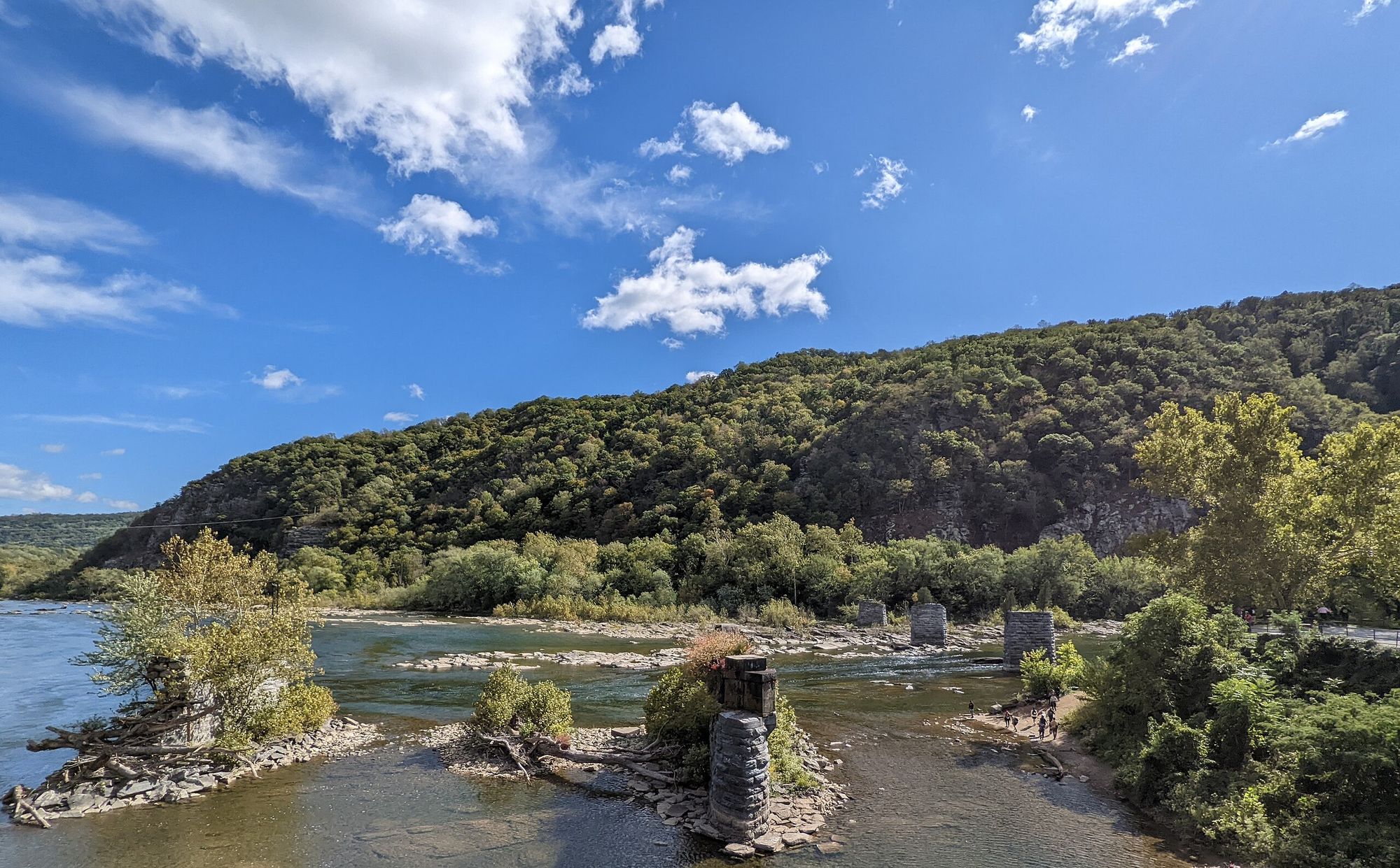
Shenandoah River
Maryland, Virginia, West Virginia
47.4 miles away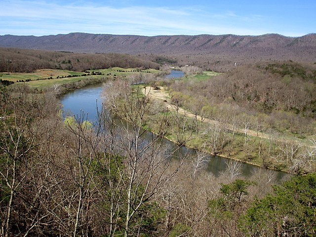
South Fork Shenandoah River
Virginia
48 miles away
Potomac River
District of Columbia, Maryland, Virginia, West Virginia
74.7 miles away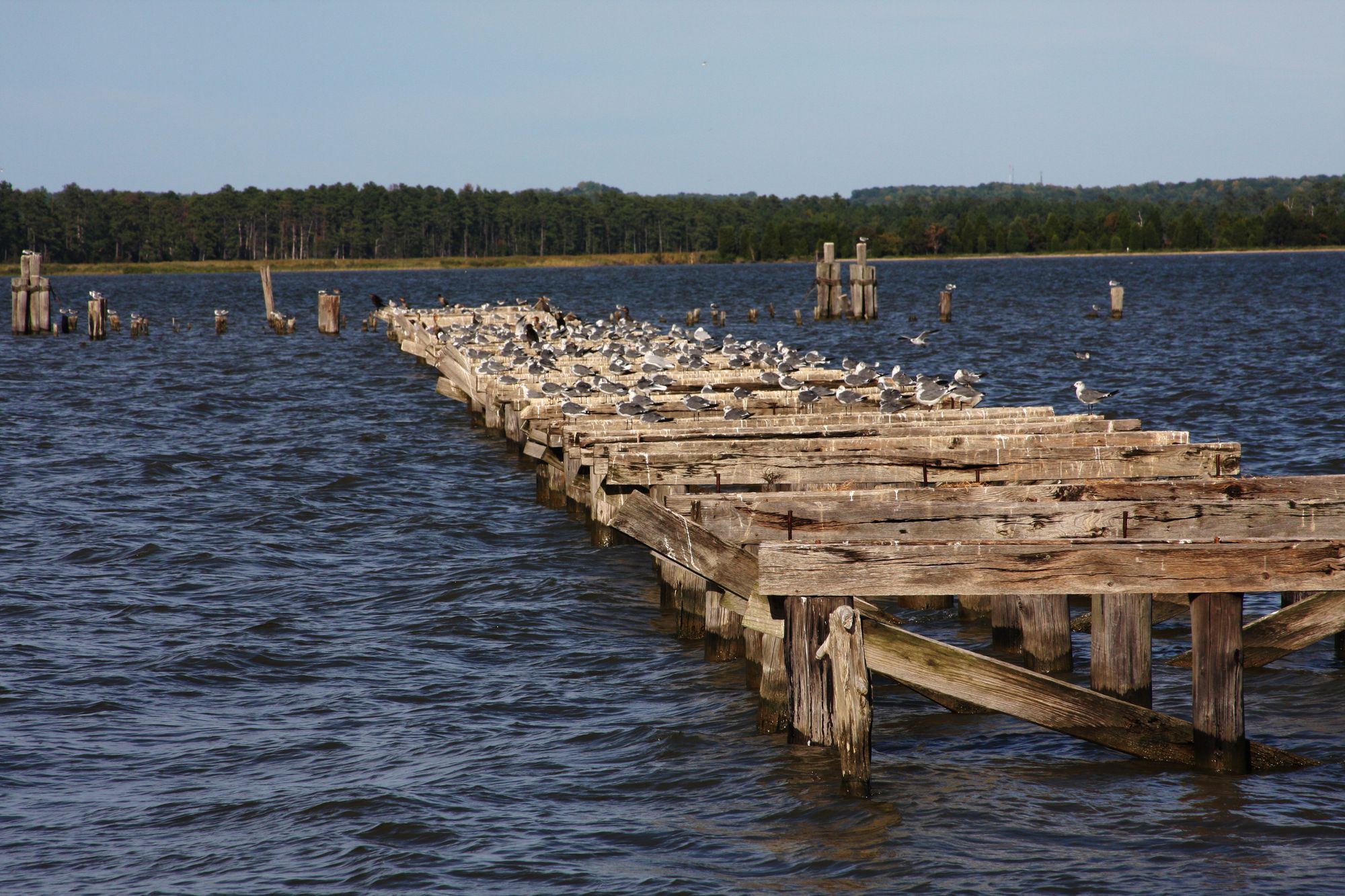
Rappahannock River
Virginia
113.7 miles away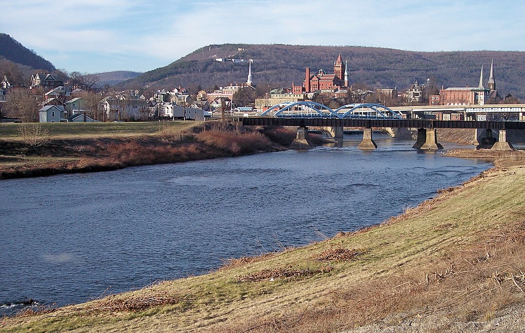
North Branch Potomac River
Maryland, West Virginia
15.9 miles away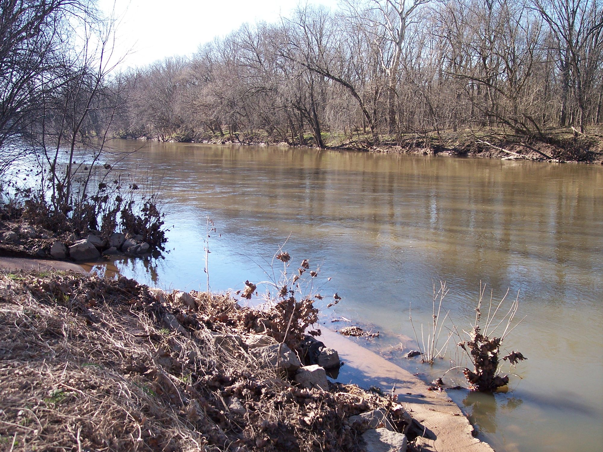
Monocacy River
Maryland
76.5 miles away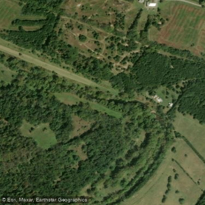
Opequon Creek
Maryland, Virginia, West Virginia
40.5 miles away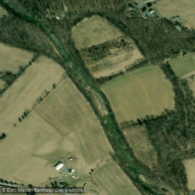
Back Creek
Maryland, Virginia, West Virginia
34.4 miles away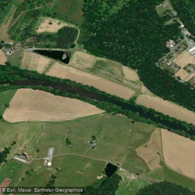
North Fork Shenandoah River
Virginia
37.6 miles away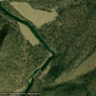
Cacapon River
Maryland, West Virginia
19.4 miles awayWest Virginia licenses and regulations
Explore West Virginia waters
Top paddling waters
No waters available right now.
Popular Cities
Loading popular cities...
Explore near Fort Mill Ridge Access
Nearby waters
More in West Virginia

Smarter Paddling Starts in the App.
PaddleWays gives you everything you need to plan smarter, paddle better, and own every trip from first launch to takeout.