Curated by PaddleWays
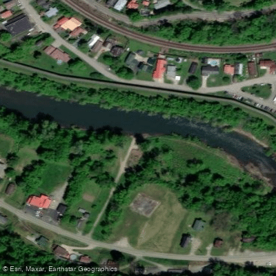
Williamson Area Section
on Tug Fork · take-out here
RouteFlatwater
- Distance
- 1.5 mi
- Paddle time
- ~0.5 hrs
- Put-in → take-out
- Williamson Boat Ramp → South Williamson Boat Ramp
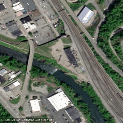
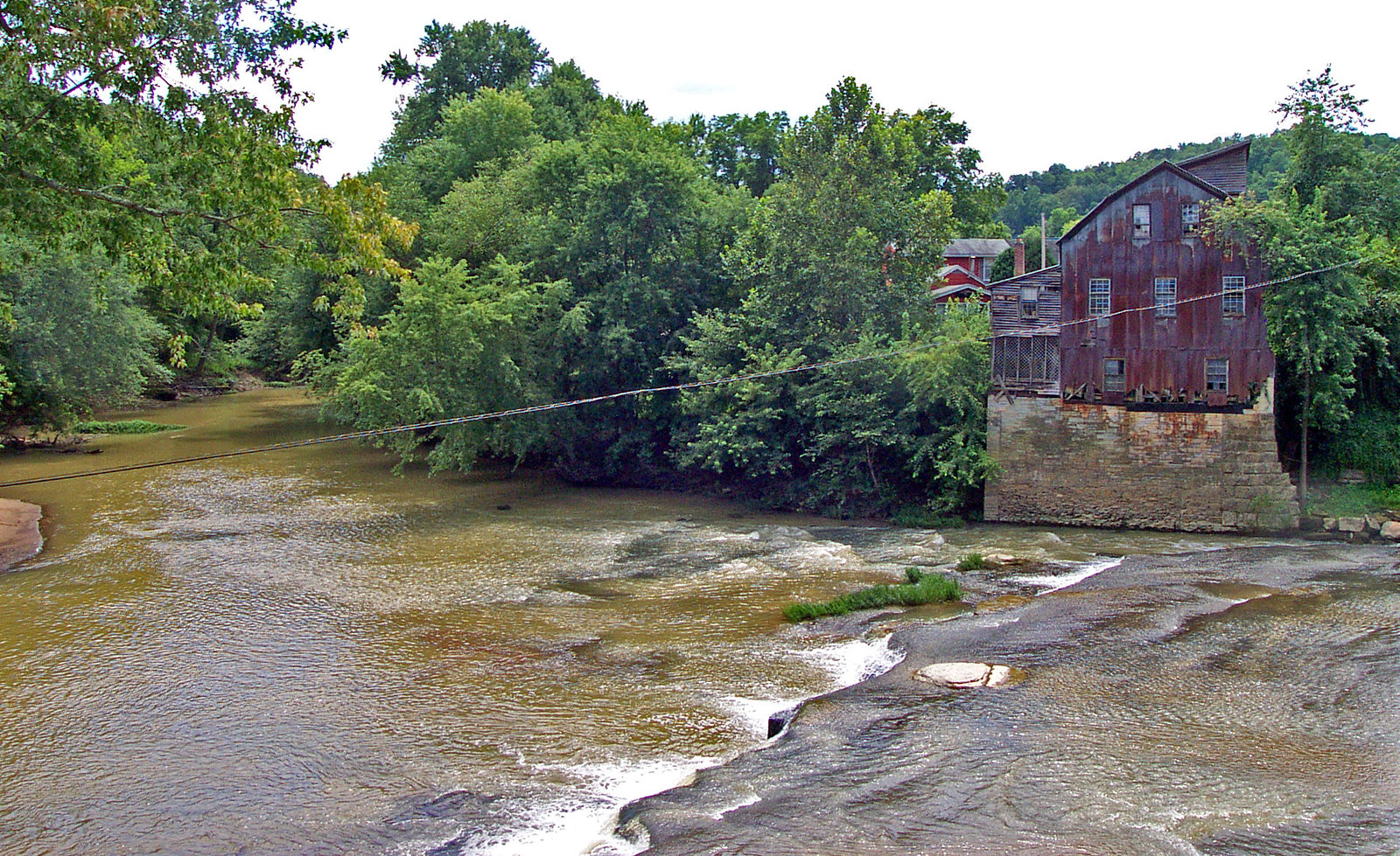
Low-head dam; exit at Water Plant
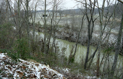
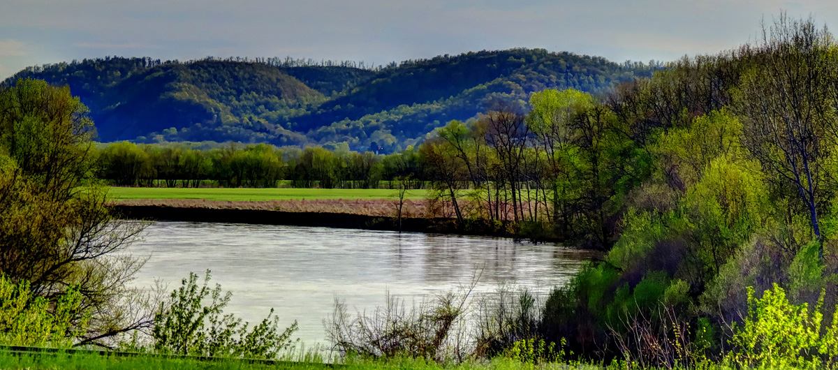
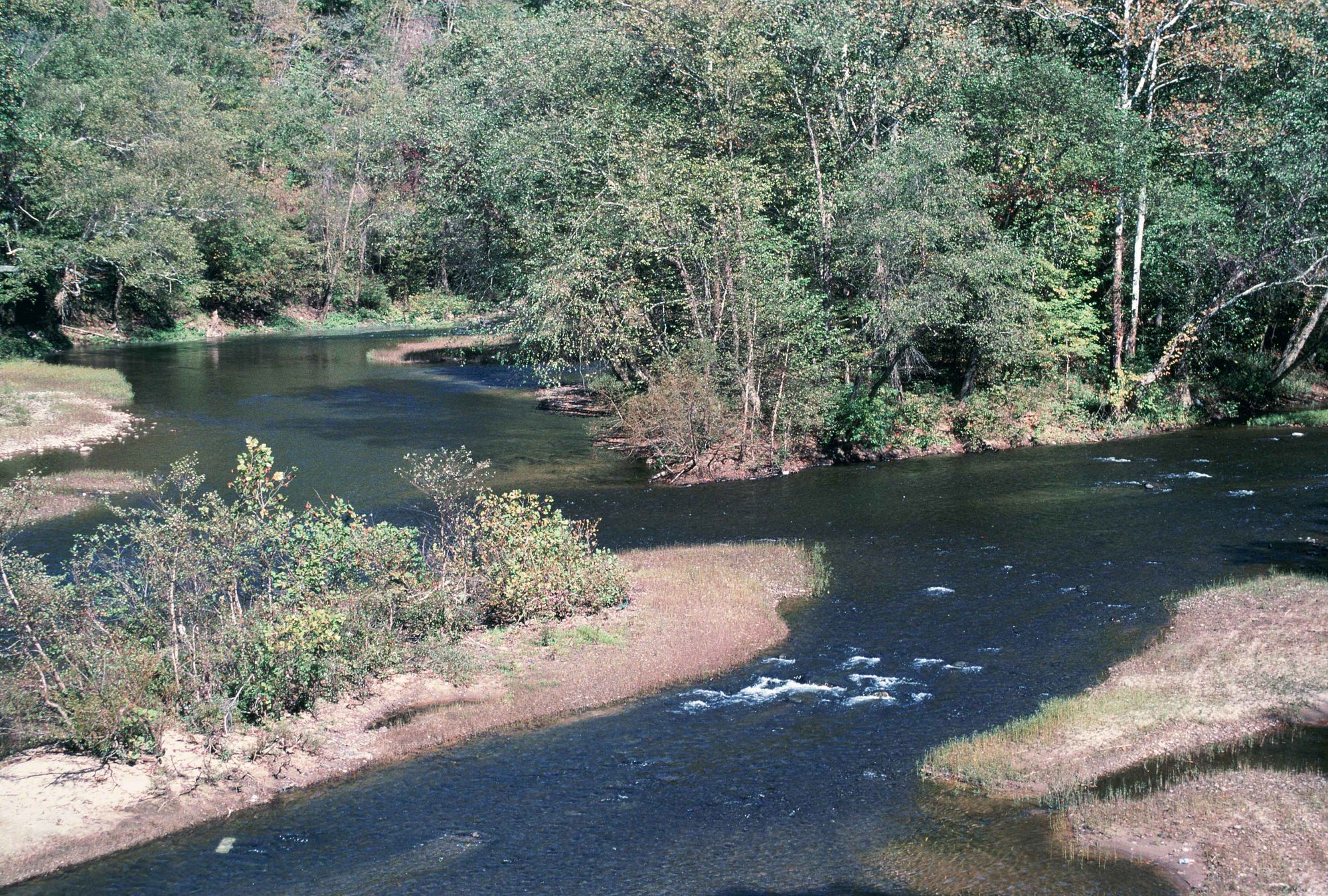
South Williamson Boat Ramp is a concrete ramp located on river left in South Williamson, Kentucky, serving as an intermediate or final takeout point for paddlers on the Tug Fork.
It is situated approximately 1.4 miles downstream of the Williamson 2nd Ave bridge and 2.2 miles downstream of Gracieland Access, making it a convenient option for shortening Trip B-13 (2nd Ave to Goodman Hollow).
The ramp can be accessed via Harvey Street off U.S. 52, with parking available near the marked entrance.
Find excellent paddling spots, easy access to boat ramps, and all the amenities you need for a memorable day. Your adventure starts here.
Curated routes
Hand-picked by the PaddleWays team, with put-ins, take-outs and paddle times. Levels are read from live gauges.
on Tug Fork · take-out here
RouteFlatwater
Check the forecast at South Williamson Boat Ramp before you go paddling.
No forecast data available.



No waters available right now.
Loading popular cities...
PaddleWays gives you everything you need to plan smarter, paddle better, and own every trip from first launch to takeout.
