Curated by PaddleWays
RouteFlatwater
- Distance
- 1 mi
- Paddle time
- ~0.5 hrs
- Put-in → take-out
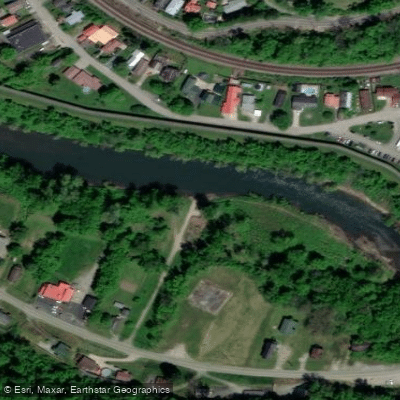
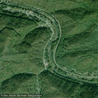
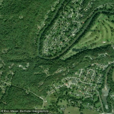
- Hatfield-McCoy Park Boat Ramp → Bridge Street Access
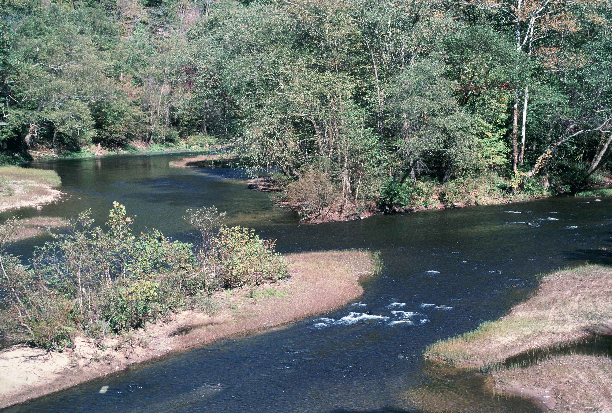
The Tug Fork flows 159 miles through the heart of Appalachia, forming much of the border between Kentucky and West Virginia. Rising in southern McDowell County, West Virginia, near the Virginia state line, the river flows northward—a rarity among eastern rivers—through a landscape of steep ridges and narrow valleys before joining the Levisa Fork at Louisa, Kentucky, to form the Big Sandy River. The river's name derives from an incident during the French and Indian War when starving soldiers boiled and ate leather "tugs" (straps) from their gear, though the Cherokee word "tugulu," meaning "forks of a stream," may also have influenced the name.
Paddling opportunities span the river's entire length through Buchanan, McDowell, Mingo, Pike, Martin, Lawrence, and Wayne counties. The upper sections in McDowell County feature more remote, mountainous terrain with steeper gradients. The middle reaches from Matewan to Williamson offer the most popular floats, with Class I rapids interspersed among long pools. The Bloody Mingo Water Trail, West Virginia's certified water trail, covers 60 miles through Mingo County with 17 designated trip segments ranging from 0.9 to 7.4 miles. Downstream sections toward Louisa feature calmer water with occasional shoals. Most sections suit beginners and intermediate paddlers, with mild drops and straightforward navigation.
Optimal flows range from 200 to 700 cubic feet per second; lower flows require walking boats over shoals, while higher flows can turn dangerous quickly due to runoff from steep surrounding mountains. April through October provides the best paddling season, with August through October offering clearer water and stable flows.
The river supports exceptional smallmouth bass fishing, ranked third-best in West Virginia. Anglers regularly catch fish in the 3-4 pound range, with specimens exceeding 21 inches. Channel catfish are abundant, with flatheads reaching 30-45 pounds in deeper pools. Recent muskie stockings by Kentucky and West Virginia promise additional trophy fishing. Great blue herons, river otters, and various native shiners inhabit the watershed.
Historic Matewan serves as the cultural heart of the river corridor, with floodwall murals depicting the famous 1920 Matewan Massacre and the Hatfield-McCoy feud that defined the region. The Hatfield-McCoy Park near McCarr marks the Paw Paw Tree Incident site. Pikeville's Cut-Through, a massive engineering project completed in 1987, rerouted the Levisa Fork to control flooding.
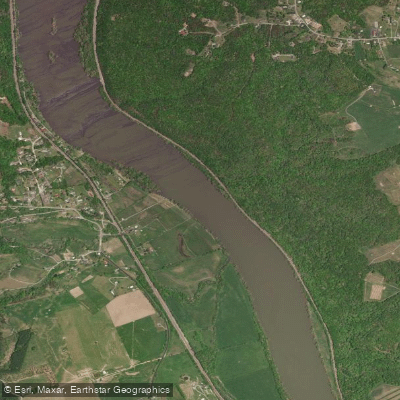
Multiple access points include Hatfield-McCoy Park, Matewan Mini Park, Burnwell Beach, Williamson's 2nd Avenue, Goodman Hollow, Borderland, Naugatuck, and Warfield. A mandatory portage exists around a dangerous low head dam in Williamson at river mile 76.9—attempting to cross this dam is potentially fatal.
Water quality has improved significantly since the 1980s, though legacy impacts from coal mining, logging, and inadequate sewage infrastructure persist in tributaries. Fishing licenses are reciprocal between Kentucky and West Virginia on the Tug Fork.
Curated routes
Hand-picked by the PaddleWays team, with put-ins, take-outs, paddle times and the hazards along the way.
RouteFlatwater
RouteFlatwater
RouteClass II
RouteFlatwater
Hazards
No hazards are marked on Tug Fork yet. That is not the same as none being there: if you find one, report it for the next paddler.
From the community
Nobody has shared a trip on Tug Fork yet. Paddle it, then tell the next paddler how it went.
See exactly where the public can get on and off the river. Launch points and boat ramps are paired with PaddleWays' public land data so you know where you can legally land.
Public shoreline
4%of the river's shoreline is public
Most of the riverbank is private. Launch, land and camp only at public access points.
Flows, weather and a route-by-route verdict, so you know which stretch of the Tug Fork is worth paddling today.
All Flow Stations
Live flows, marked hazards and fresh trip reports from paddlers who were just on the water, all in one place.





Every user gets free access to launch points, boat ramps, and public property parcels.


Loading popular cities...
PaddleWays gives you everything you need to plan smarter, paddle better, and own every trip from first launch to takeout.