Curated by PaddleWays
RouteClass II–IV
- Distance
- 4.7 mi
- Paddle time
- ~1 hr
- Put-in → take-out
- Back Fork of Elk River Boat Ramp → Miller Mountain Road Access
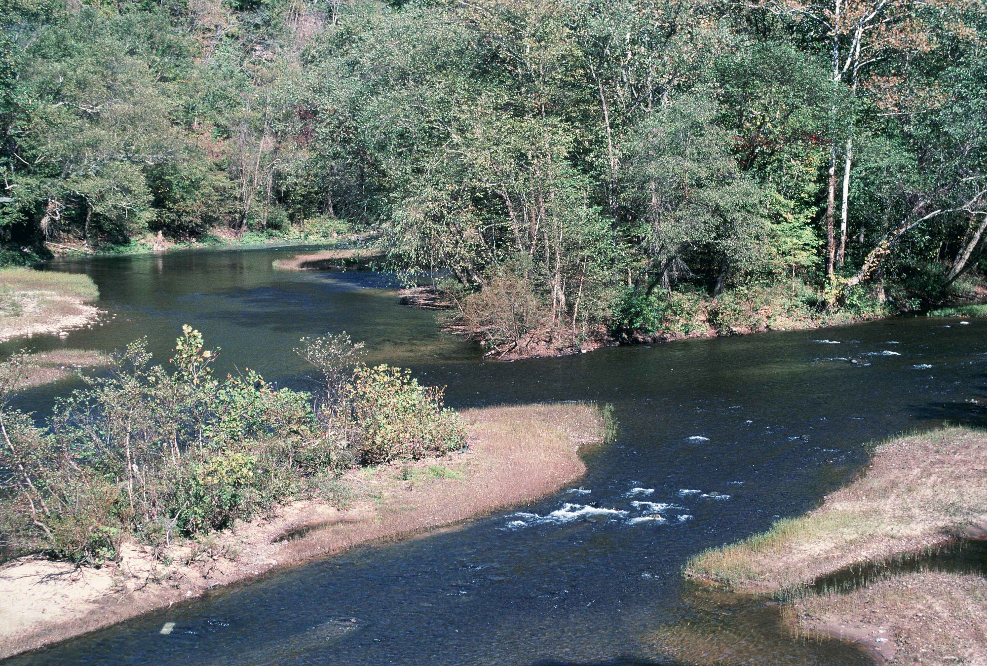
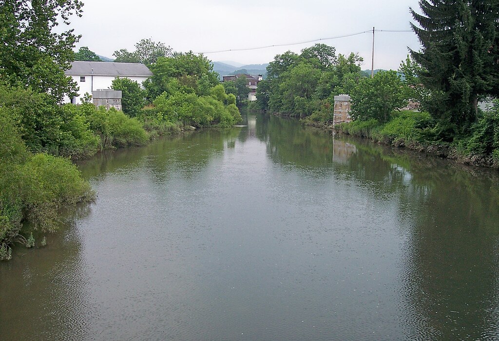
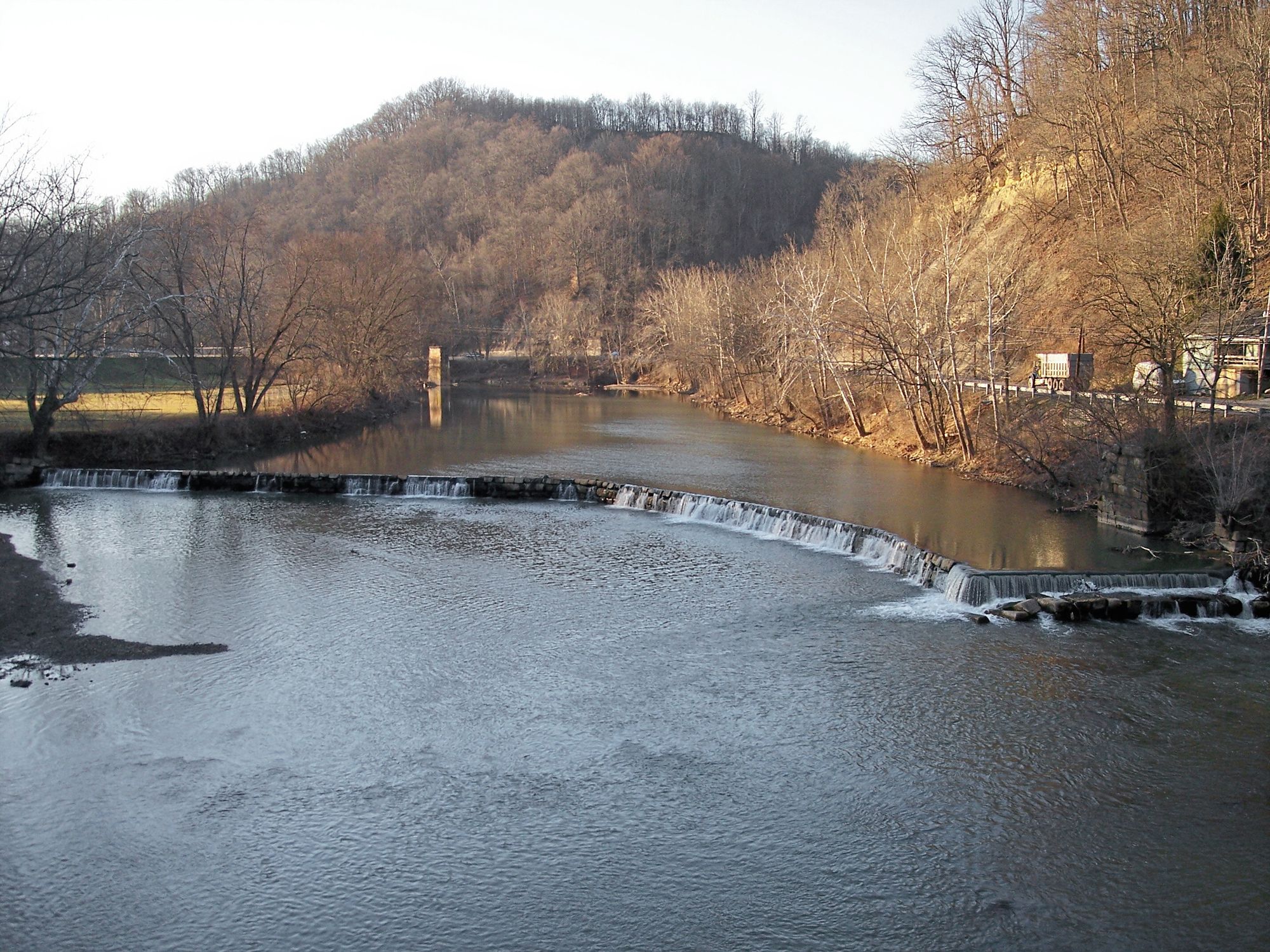
The Back Fork Elk River is a scenic tributary of the Elk River in central West Virginia. It originates in the Monongahela National Forest near the Webster-Randolph county line and flows generally northwest through Webster County before joining the main stem of the Elk River near Webster Springs. This river offers approximately 25 miles of whitewater paddling opportunities, with three main sections of varying difficulty. The upper section from the confluence of Big Run to Sugar Creek features 8.6 miles of Class II-III+ rapids with a steep gradient averaging 60 feet per mile. The middle Three Falls Section from Sugar Creek to Big Sycamore is the most challenging, with Class III-IV rapids and several significant waterfalls. The lower section from Big Sycamore to Webster Springs eases to Class II-IV.
Paddlers on the Back Fork Elk should be comfortable with technical Class III-IV whitewater. The river is characterized by boulder gardens, ledges, and cobble bar rapids, with the Three Falls Section being the most notable for its waterfalls. The biggest rapid, known as Parcoal, is found in the lower section. Spring snowmelt and rainfall typically provide the best paddling conditions, though summer thunderstorms can create temporary high water. The nearby Elk River gauge is used to determine suitable water levels.
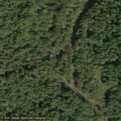
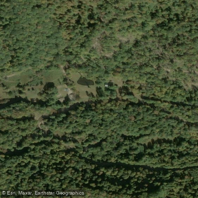
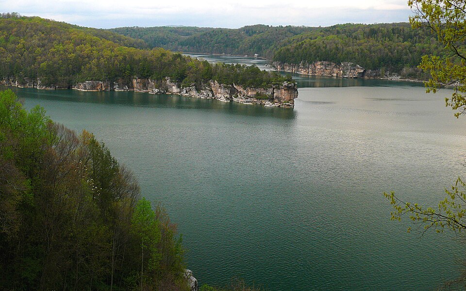
The river corridor is heavily forested, providing habitat for diverse Appalachian flora and fauna. Notable landmarks include the three namesake waterfalls of the middle section and the confluence with Sugar Creek. Primary access points are located at the confluence of Big Run, Sugar Creek (locally known as Skelt), Big Sycamore (Breece), and Webster Springs. The nearby town of Webster Springs serves as a hub for paddlers exploring the Back Fork Elk.
The Back Fork Elk River played a role in early logging operations in the region, with timber transported downstream to sawmills. Today, it's valued for its recreational opportunities and as part of the larger Elk River watershed. Paddlers should be aware of strainers and wood hazards, especially after high water events. As with all whitewater, scouting unfamiliar rapids is essential. The remote nature of much of the river necessitates self-reliance and proper safety equipment. While most paddlers run the Back Fork Elk as day trips, its 25-mile length and connection to the main Elk River create possibilities for multi-day adventures for those prepared for wilderness camping.
Curated routes
Hand-picked by the PaddleWays team, with put-ins, take-outs, paddle times and the hazards along the way.
RouteClass II–IV
RouteClass III–IV
RouteClass II–III
Hazards
No hazards are marked on Back Fork Elk River yet. That is not the same as none being there: if you find one, report it for the next paddler.
From the community
Nobody has shared a trip on Back Fork Elk River yet. Paddle it, then tell the next paddler how it went.
See exactly where the public can get on and off the river. Launch points and boat ramps are paired with PaddleWays' public land data so you know where you can legally land.
Public shoreline
0%of the river's shoreline is public
Most of the riverbank is private. Launch, land and camp only at public access points.
Flows, weather and a route-by-route verdict, so you know which stretch of the Back Fork Elk River is worth paddling today.
No forecast data available.
Live flows, marked hazards and fresh trip reports from paddlers who were just on the water, all in one place.





Every user gets free access to launch points, boat ramps, and public property parcels.

Loading popular cities...
PaddleWays gives you everything you need to plan smarter, paddle better, and own every trip from first launch to takeout.